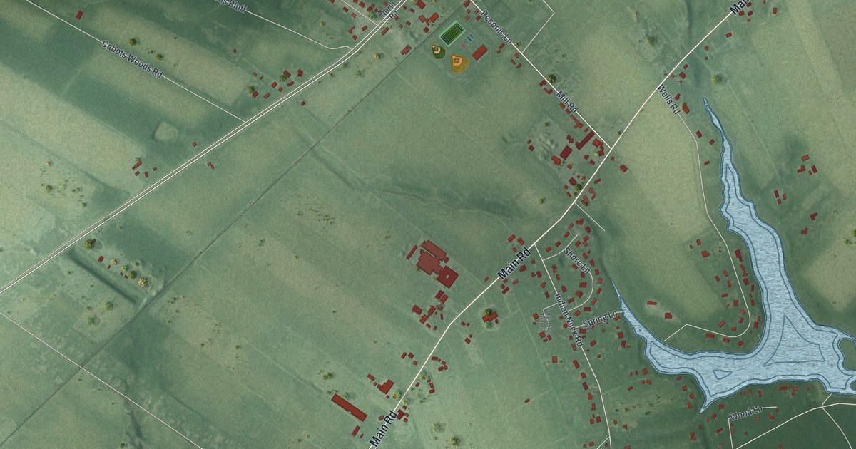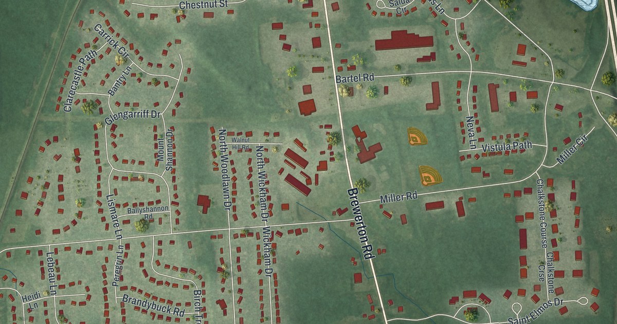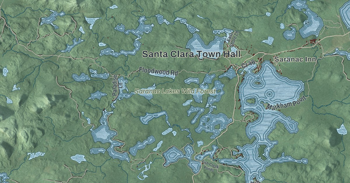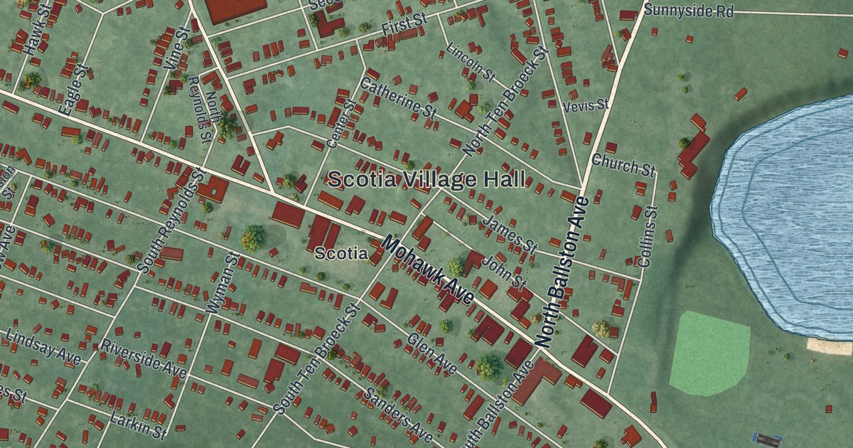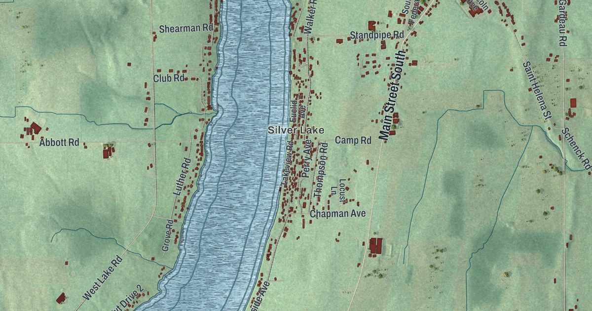
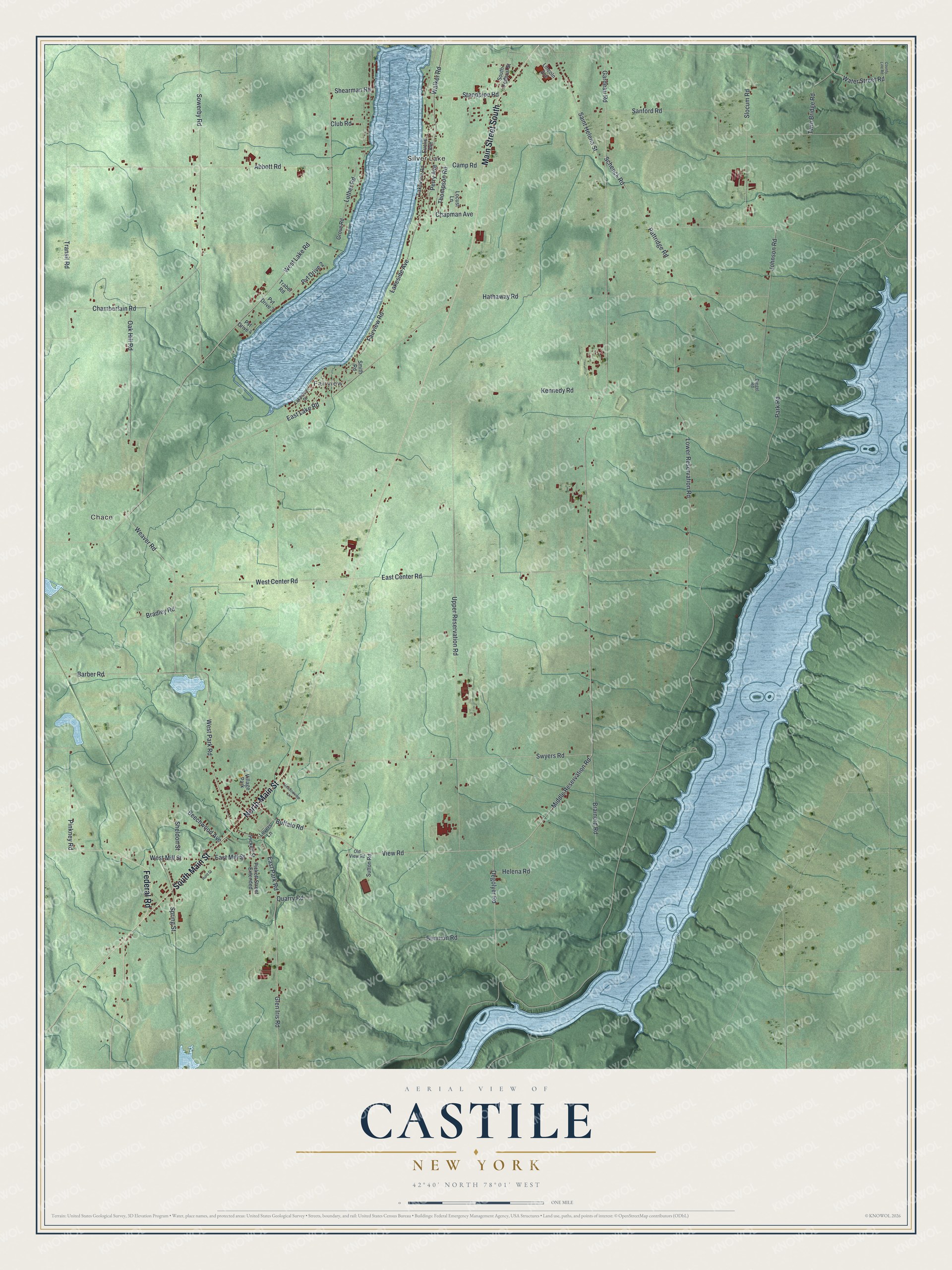
This beautifully detailed map of Castile, New York was created in 2026 using aerial imagery combined with modern topographical, census, street and landmark data. It’s a one-of-a-kind view of Castile that combines accurate data with a vintage aesthetic. The map shows every building in its true location, many of the roads carry their names, and the shaded topographic relief shows the shape of the land.
Explore an aerial view of Castile, New York
On the map you’ll find Silver Lake, Chace, and Fairview, along with Main Street, Federal Road, Park Road, Swyers Road, Buffalo Road, and more. If you look closely you can even find your house accurately drawn in its correct location. Zoom in on the preview to look for yours.
Did You Know?
Castile is named for a historic region of Spain. In 1821 it was split off from Perry to become a separate town. A village inside the town carries the same name.
Take a closer look at the Castile map
Names on this map
These names are printed on this map.
Places: Silver Lake, Chace, Fairview and Village Park.
Streets and roads: North Main Street, Main Street South, South Main Street, Federal Road, West Park Road, Swyers Road, Buffalo Road, Gardeau Road, East Park Road, Shearman Road, View Road, Degolyer Road.
More street names, A to Z
Abbott Road, Barber Road, Beechwood Avenue, Bennion Road, Bradley Road, Brainerd Road, Camp Road, Chamberlain Road, Chapman Avenue, Club Road, County Line Road, Diegel Road, East Center Road, East Lake Road, East Mill Street, Euclid Avenue, Fairview Road, Glen Iris Road, Grove Road, Hathaway Road, Helena Road, Hurd Street, Johnson Road, Kennedy Road, Lakeshore Drive, Lakeside Avenue, Lakeview Road, Lincoln Avenue, Locust Lane, Lovers Lane, Lower Reservation Road, Luther Road, Meadowview Lane, Middle Reservation Road, Oak Hill Road, Old View Road, Park Road, Pattridge Road, Perry Avenue, Pickett Street, Pickett Street Extended, Pinkney Road, Pvt Drive 2, Pvt Drive 3, Pvt Drive 4, Quarry Road, Saint Helena Street, Sanford Road, Schenck Road, Sheldon Street, Slocum Road, Smith Road, South Federal Street, Sowerby Road, Spring Street, Standpipe Road, Sutton Road, Thompson Road, Traber Road, Transit Road, Twin Bridge Road, Upper Reservation Road, Walker Road, Water Street Road, Weaver Road, West Center Road, West Lake Road, West Mill Street.
See it on a wall
The Castile map as a framed print. Swipe for more.


This beautifully detailed map of Castile makes an attractive addition to your office, library, or den, and it can even be used to teach children the geography and history of the area. It also makes a great gift for anyone with Castile roots. When you’re done exploring, click here to get your copy of the Castile map.