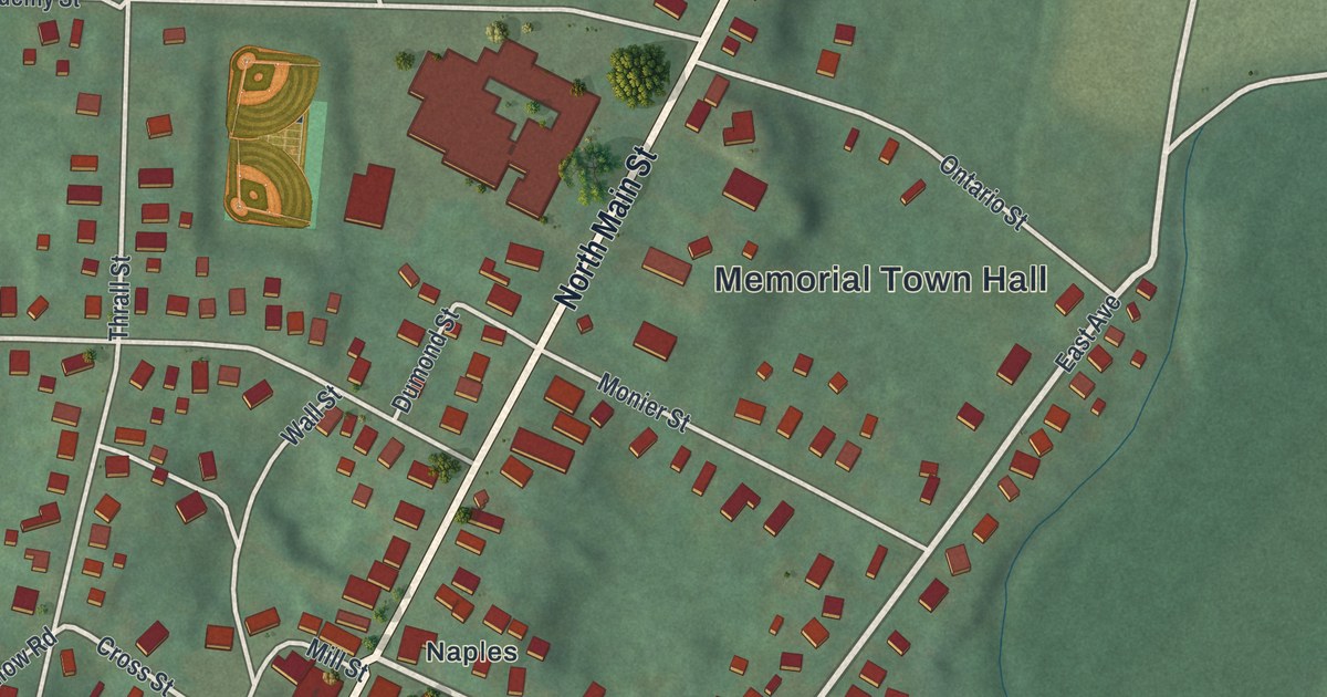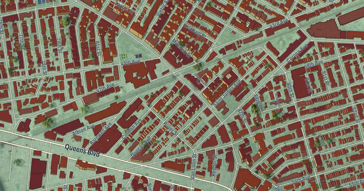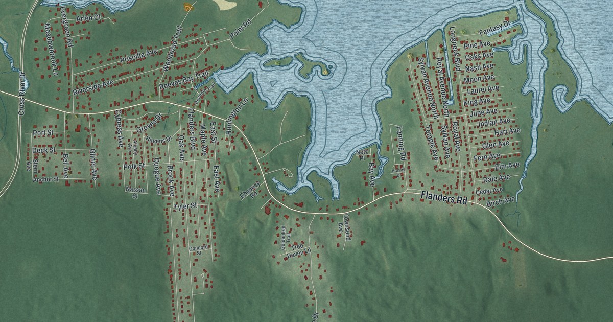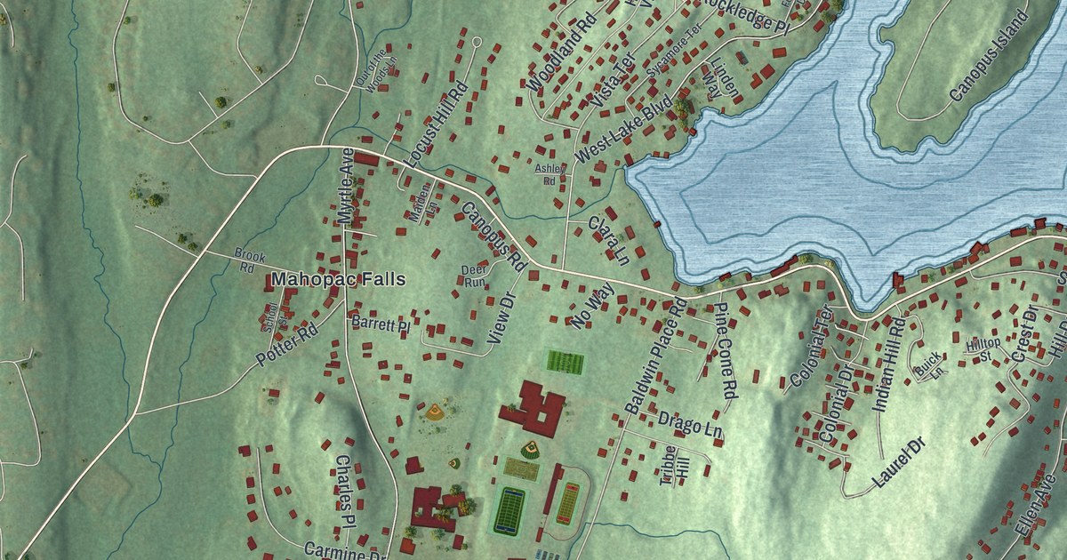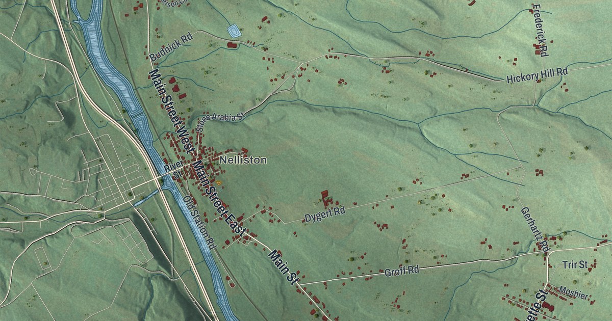
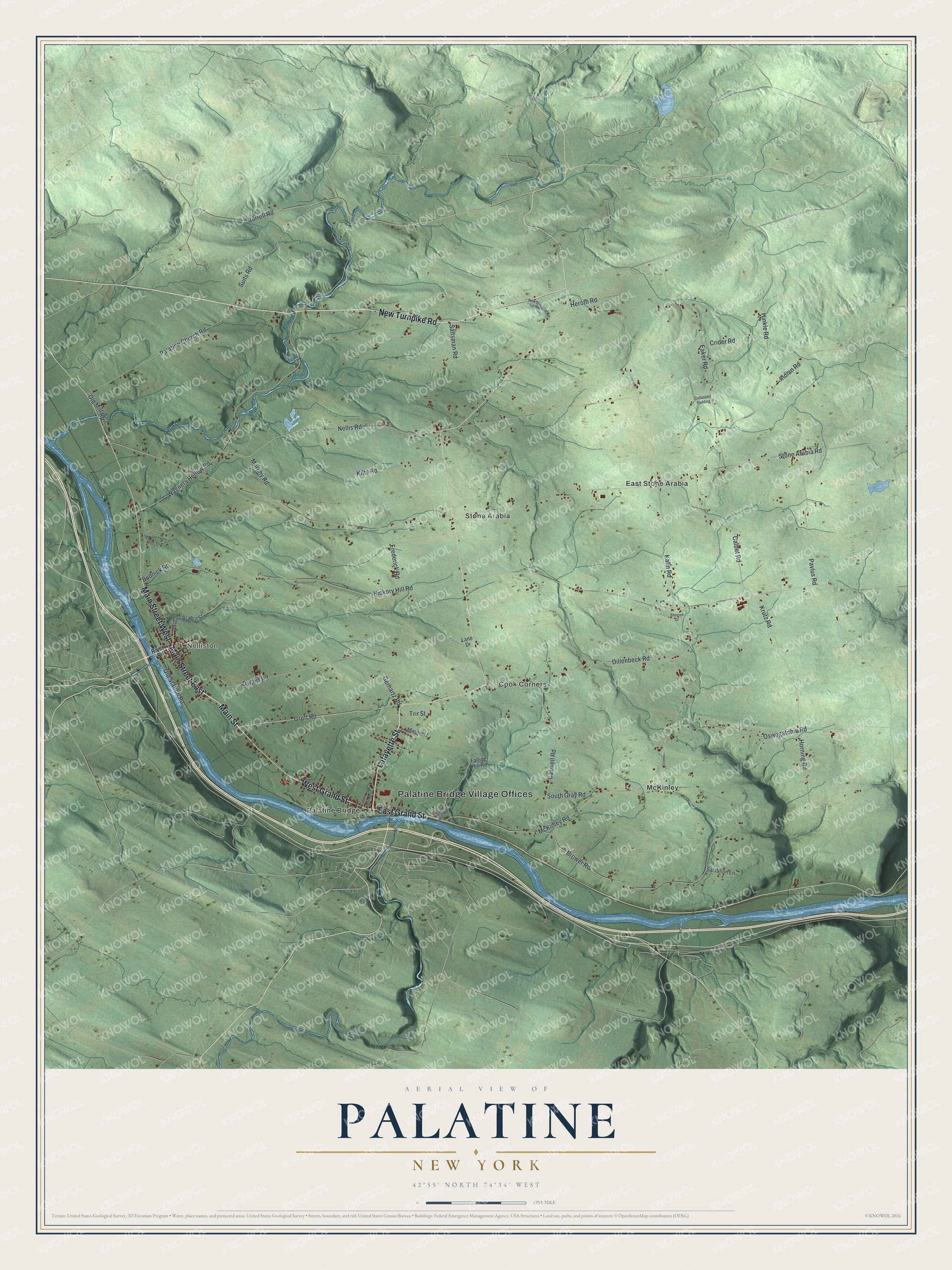
This beautifully detailed map of Palatine, New York was created in 2026 using aerial imagery combined with modern topographical, census, street and landmark data. It’s a one-of-a-kind view of Palatine that combines accurate data with a vintage aesthetic. The map shows every building in its true location, many of the roads carry their names, and the shaded topographic relief shows the shape of the land.
Explore an aerial view of Palatine, New York
On the map you’ll find Palatine Bridge Village Offices, Nelliston, Cook Corners, East Stone Arabia, McKinley, and Palatine Bridge, along with New Turnpike Road, Main Street, Lafayette Street, Grand Street, and more. If you look closely you can even find your house accurately drawn in its correct location. Zoom in on the preview to look for yours.
Did You Know?
Palatine is named for the Palatinate, a region in the Rhineland. The first European settlers here were Germans from that region. They had fled French raids at home. Queen Anne of England shipped several thousand of them to the colony starting in 1710. In 1770 they built the Palatine Church, which still holds Lutheran services.
Take a closer look at the Palatine map
Names on this map
These names are printed on this map.
Places: Palatine Bridge Village Offices, Nelliston, Cook Corners, East Stone Arabia, McKinley, Palatine Bridge and Stone Arabia.
Streets and roads: New Turnpike Road, Main Street East, Main Street, Lafayette Street, East Grand Street, West Grand Street, Main Street West, Groff Road, Burrell Road, Saltsman Road, Stone Arabia Road, Hickory Hill Road.
More street names, A to Z
Anderson Circle, Brower Road, Budnick Road, Calbet Road, Caswell Road, Center Street, Collasped Pudding, Crider Road, Dillenbeck Road, Dygert Road, Eaker Road, Failing Hill Road, Falling Hill Road, Frederick Road, Gerhartz Road, Heroth Road, Hinkle Road, Horning Road, Indian Road, Kahn Road, Kilts Road, Krutz Road, Lane Drive, McKinley Road, Moshier, Murphy Road, Nellis Road, Old Mill Road, Old Station Road, Oswegatchie Road, Palatine Church Road, Pavlus Road, River Street, Salvation Lane, Sherron Drive, South Gray Road, Stone Arabia Street, Suits Road, Trir Street, Wagners Hollow Road.
See it on a wall
The Palatine map as a framed print. Swipe for more.


This beautifully detailed map of Palatine makes an attractive addition to your office, library, or den, and it can even be used to teach children the geography and history of the area. It also makes a great gift for anyone with Palatine roots. When you’re done exploring, click here to get your copy of the Palatine map.