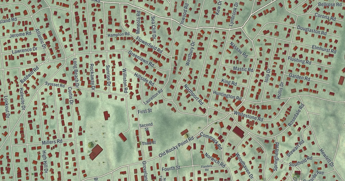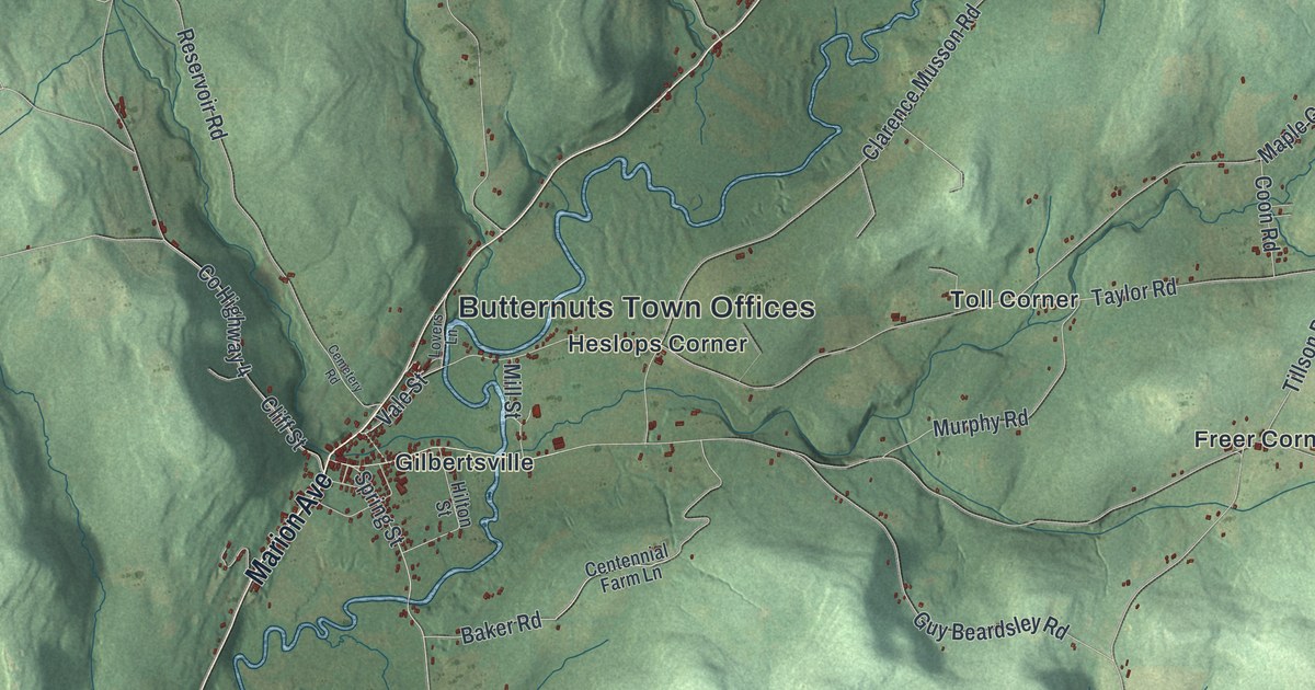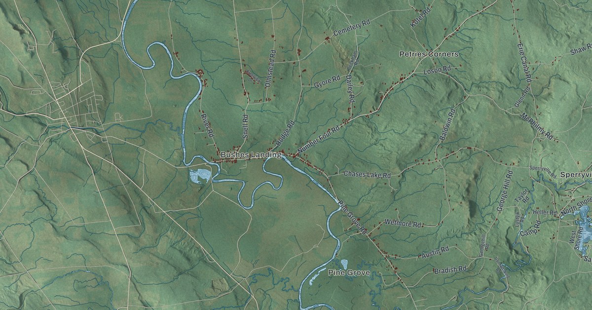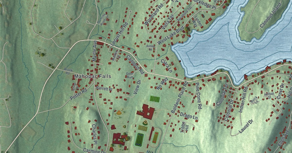
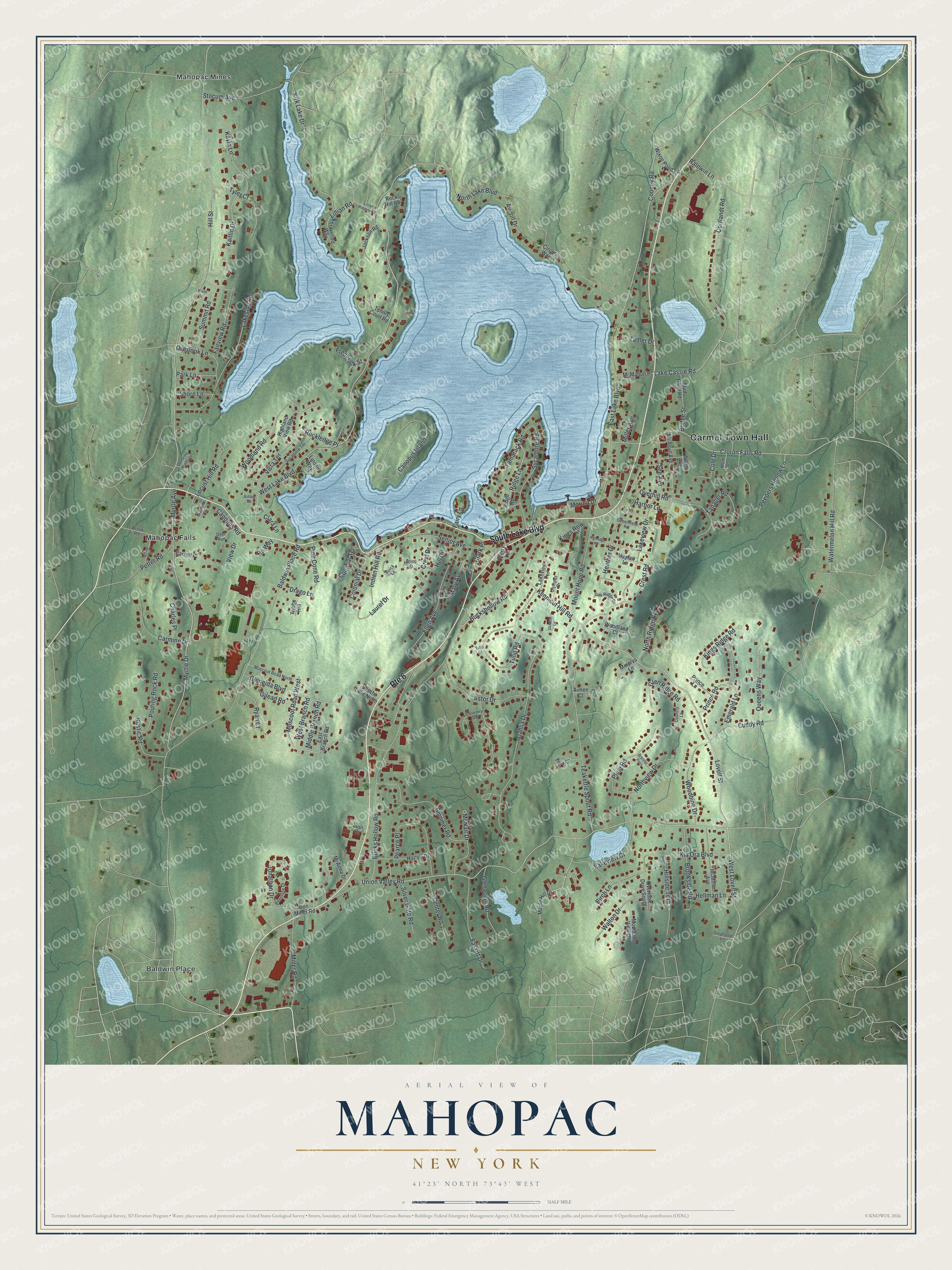
This beautifully detailed map of Mahopac, New York was created in 2026 using aerial imagery combined with modern topographical, census, street and landmark data. It’s a one-of-a-kind view of Mahopac that combines accurate data with a vintage aesthetic. The map shows every building in its true location, many of the roads carry their names, and the shaded topographic relief shows the shape of the land.
Explore an aerial view of Mahopac, New York
On the map you’ll find Carmel Town Hall, Baldwin Place, Mahopac Falls, and Mahopac Mines, along with Lake Boulevard, Lake Cassie Road, Kennicut Hill Road, Lovell Street, and more. If you look closely you can even find your house accurately drawn in its correct location. Zoom in on the preview to look for yours.
Did You Know?
By the mid-1800s Mahopac was a summer resort. Vacationers rode the train from New York City to Croton Falls. Rival hotels raced decorated horse-drawn coaches to carry them to the lake. Resort life lasted until after World War II. When passenger trains stopped in 1959, Mahopac became a year-round town of commuters.
Take a closer look at the Mahopac map
Names on this map
These names are printed on this map.
Places: Carmel Town Hall, Baldwin Place, Mahopac Falls and Mahopac Mines.
Streets and roads: South Lake Boulevard, Route 6, Lake Cassie Road, Kennicut Hill Road, West Lovell Street, Lovell Street, Buckshollow Road, Mary Avenue, Union Valley Road, Kirk Lake Drive, Cooney Road, Baldwin Place Road.
More street names, A to Z
Aimee Court, Ashley Road, Astor Drive, Averill Drive, Baldwin Lane, Barrett Place, Birch Lane, Bloomer Road, Bon Miller Road, Brenner Pass, Bridge Street, Brook Road, Brookside Road, Bucks Hollow Road, Buick Lane, Canopus Island, Canopus Road, Carmine Drive, Center Road, Charles Place, Cherry Lane, Circle Way, Clara Lane, Clark Place, Cole Drive, Colonial Drive, Colonial Terrace, Cortlandt Road, Country Lane, Coventry Circle, Crest Drive, Crest Road, Croton Falls Road, Cuddy Road, Dahlia Drive, Deer Run, Drago Lane, East Branch Road, East Lake Boulevard, Ellen Avenue, Emerald Lane, Fairview Road, Fairy Lane, Fassitt Drive, Forest Drive, Frederick Street, Gilead Road, Glenacom Road, Gleneida Boulevard, Glen Ridge Road, Greenfield Road, Harbor Lane, Heather Drive, Hellman Lane, Highland View Road, Highridge Road, Hill Drive, Hillside Terrace, Hill Street, Hilltop Street, Horton Drive, Indian Hill Road, Jackson Road, Jonathan Drive, Kaitlin Drive, Kayla Lane, Kia Ora Boulevard, Kings Ridge Road, Kings Row, Lakeside Road, Lakeview Court, Lakeview Drive, Lakeview Terrace, Laurel Drive, Lillian Road, Lillian Roberts Road, Linden Way, Locust Hill Road, Lupi Court, M&m Lane, Maiden Lane, Maple Hill Drive, Marina Drive, Mayfair Lane, McAlpin Avenue, McMahon Place, McMillan Avenue, McNair Drive, Mi Anna Drive, Middle Branch Road, Miller Avenue, Miller Road, Minerva Lane, Mountain View Drive, Mount Hope Road, Mud Pond Road, Muscoot Road North, Muscoot Road West, Myrtle Avenue, Myrtle Drive, North Lake Boulevard, North Lane, North Ridge Road, Northview Drive, No Way, Oak Ridge Drive, October Lane, Olympus Drive, Out of the Woods Lane, Overhill Road, Overlook Drive South, Overlook Lane, Park Lane, Pearce Place, Peepers Hollow Lane, Penelope Court, Pine Cone Road, Plum Road, Potter Road, Pouting Rock Road, Prince Lane, Prince Road, Queens Way, Ridge Lane, Ridge Road, Rock Hill Road, Rockledge Place, Rustic Road, Ryan Court, School Street, See Avenue, Senior Avenue, Shore Lane, Silver Gate Road, Stephanie Lane, Stocum Avenue, Summit Road, Sycamore Road, Sycamore Terrace, Tadler Drive, Tamarack Road, Tanager Road, Teakettle Spout Road, Tennis Court Road, Tina Drive, Travelled Way, Tribbe Hill, Tulip Court, Tulip Road, Tyler Court, Veschi Lane North, View Drive, Vista Terrace, Walton Drive, Watermelon Hill Road, West Branch Road, West Lake Boulevard, Wixon Pond Road, Woodbine Drive, Woodland Court, Woodland Road, Wright Avenue.
See it on a wall
The Mahopac map as a framed print. Swipe for more.


This beautifully detailed map of Mahopac makes an attractive addition to your office, library, or den, and it can even be used to teach children the geography and history of the area. It also makes a great gift for anyone with Mahopac roots. When you’re done exploring, click here to get your copy of the Mahopac map.