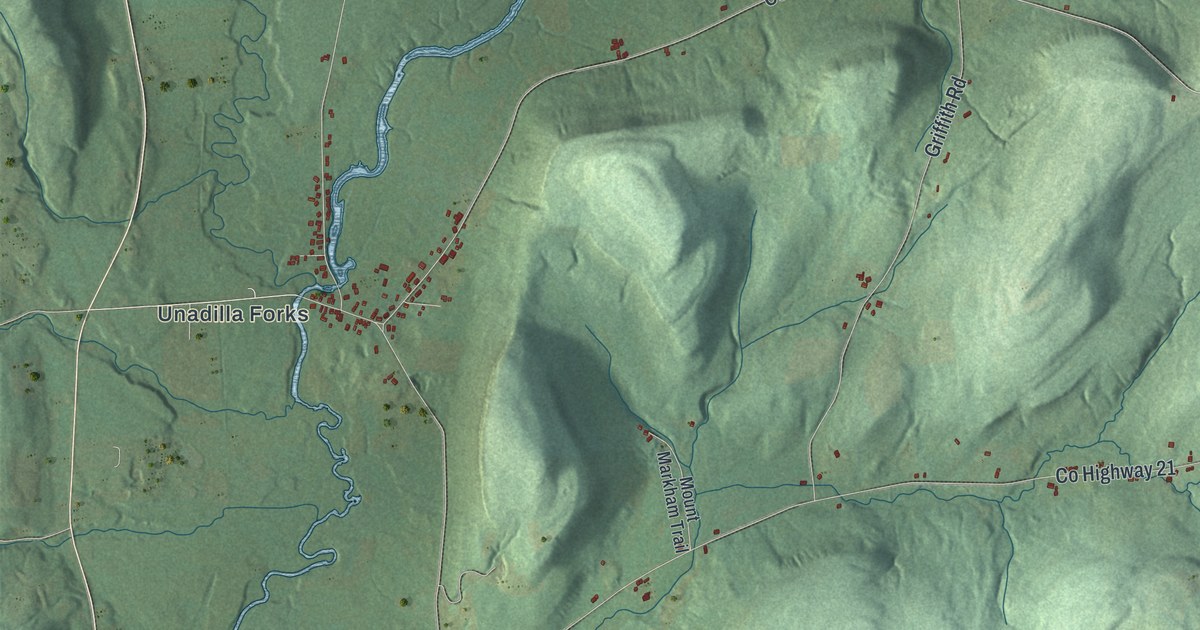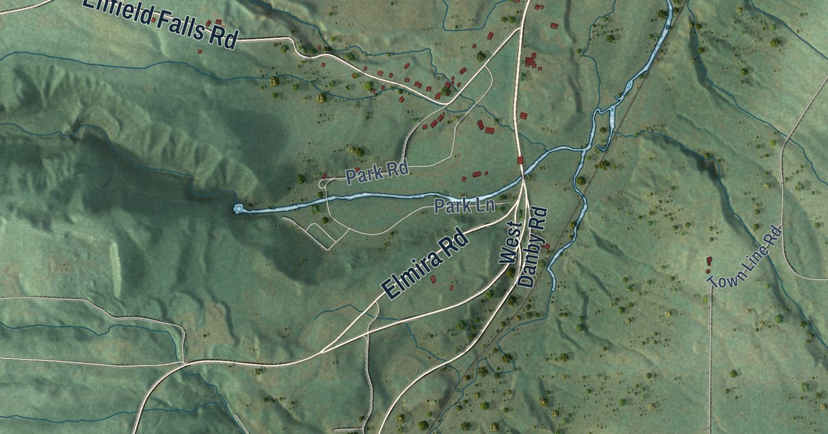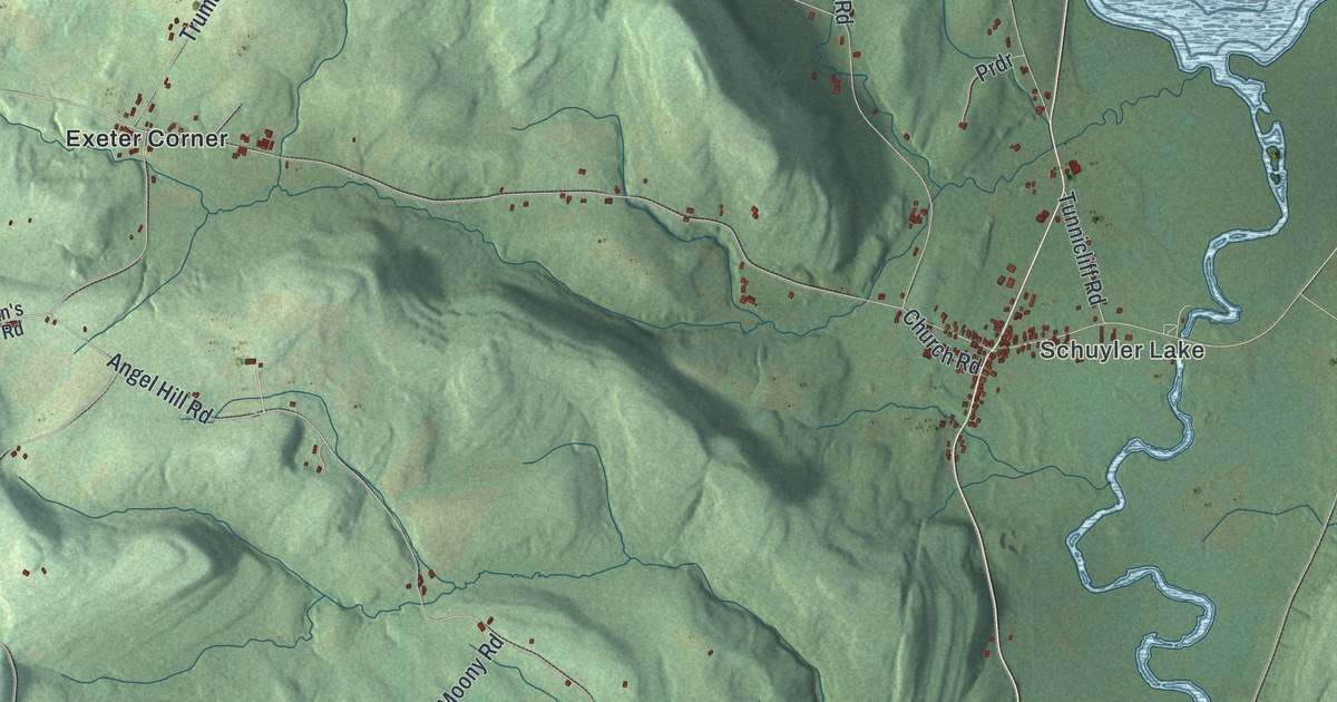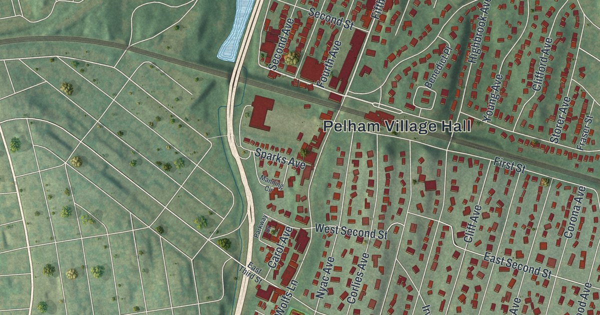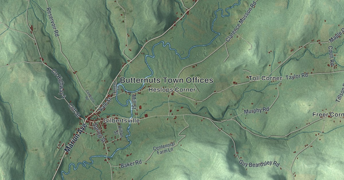
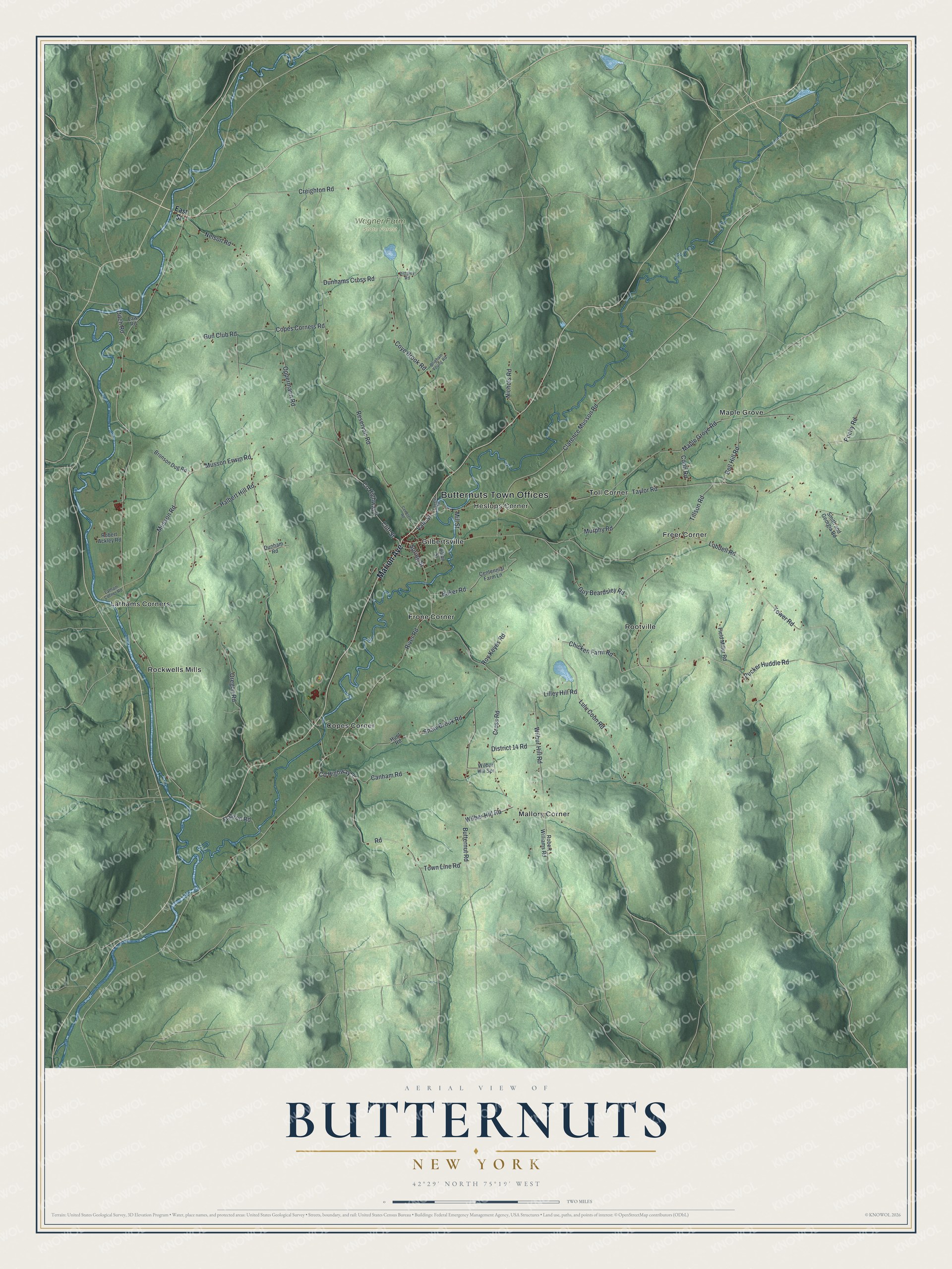
This beautifully detailed map of Butternuts, New York was created in 2026 using aerial imagery combined with modern topographical, census, street and landmark data. It’s a one-of-a-kind view of Butternuts that combines accurate data with a vintage aesthetic. The map shows every building in its true location, many of the roads carry their names, and the shaded topographic relief shows the shape of the land.
Explore an aerial view of Butternuts, New York
On the map you’ll find Butternuts Town Offices, Copes Corner, Freer Corner, Frone Corner, Gilbertsville, Heslops Corner, and Wagner Farm State Forest, along with Marion Avenue, East Street, Chicken Farm Road, Lulu Coon Road, and more. If you look closely you can even find your house accurately drawn in its correct location. Zoom in on the preview to look for yours.
Did You Know?
Abijah Gilbert and Jacob Morris, early landowners in the county, were among the first to settle here in 1787. Morris paid Gilbert for his services with land of his own choosing. Good waterpower and a wide, fertile valley drew mills and farms. The town was set off from Unadilla in 1796.
Take a closer look at the Butternuts map
Names on this map
These names are printed on this map.
Places: Butternuts Town Offices, Wagner Farm State Forest, Copes Corner, Freer Corner, Frone Corner, Gilbertsville, Heslops Corner, Lathams Corners, Mallory Corner, Maple Grove, Rockwells Mills, Rootville and Toll Corner.
Streets and roads: Marion Avenue, Chicken Farm Road, Lulu Coon Road, County Highway 4, River Road, Spring Street, Wilber Hill Road, Bell Hill Road, County Highway 3, Copes Corners Road, Coye Brook Road, Wilbur Hill Road.
More street names, A to Z
Baker Road, Brigham Young Road, Bronson Dug Road, Butternut Road, Canham Road, Cemetery Road, Centennial Farm Lane, Clarence Musson Road, Cliff Street, Coon Road, Creighton Road, Cross Road, District 14 Road, Ditch Road, Dunham Road, Dunhams Cross Road, East Street, Field Miller Road, Flatiron Road, Gun Club Road, Guy Beardsley Road, Halbert Hill Road, Hilton Street, Hunt Road, Latham Corner Road, Law Road, Lilley Hill Road, Lobdell Road, Lovers Lane, Maple Grove Road, Mill Street, Murphy Road, Musson Erwin Road, Musson Road, Nelson Road, Nichols Road, Oppermann Road, Oregon Road, Pittsley Road, Pochy Road, Pucker Huddle Road, Reservoir Road, Road, Robert Ackley Road, Robert Williams Road, Roy Keyes Road, Shaw Brook Road, Smith and Georgia Road, Taylor Road, Tillson Road, Tower Road, Town Line Road, Vale Street, Wilbur Hill Spr.
See it on a wall
The Butternuts map as a framed print. Swipe for more.


This beautifully detailed map of Butternuts makes an attractive addition to your office, library, or den, and it can even be used to teach children the geography and history of the area. It also makes a great gift for anyone with Butternuts roots. When you’re done exploring, click here to get your copy of the Butternuts map.