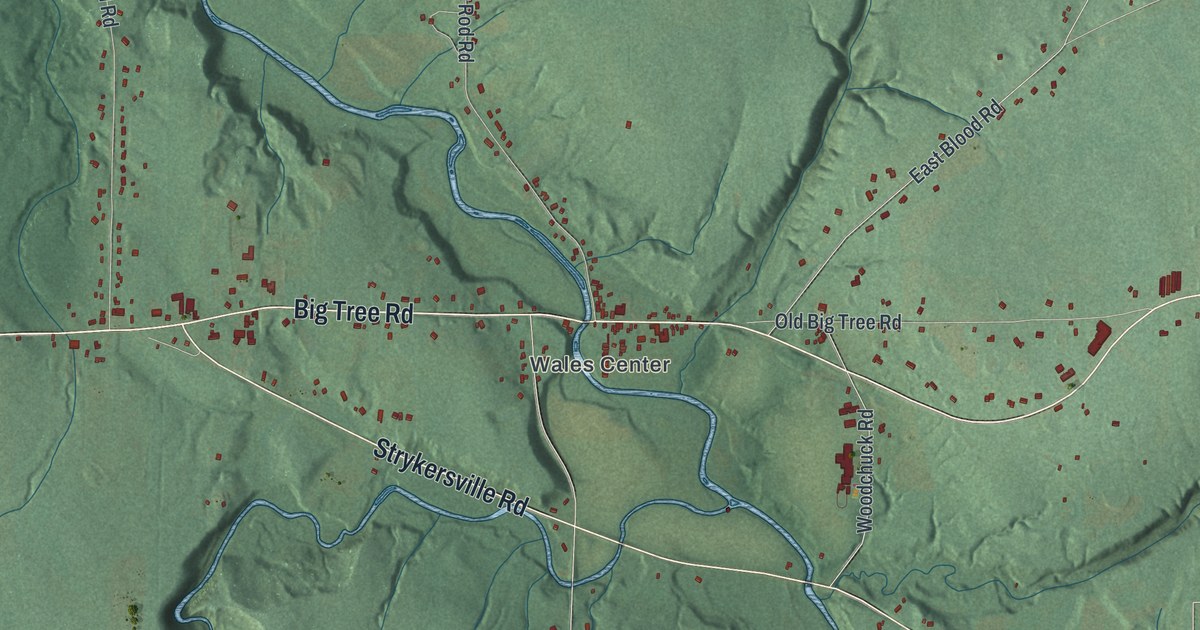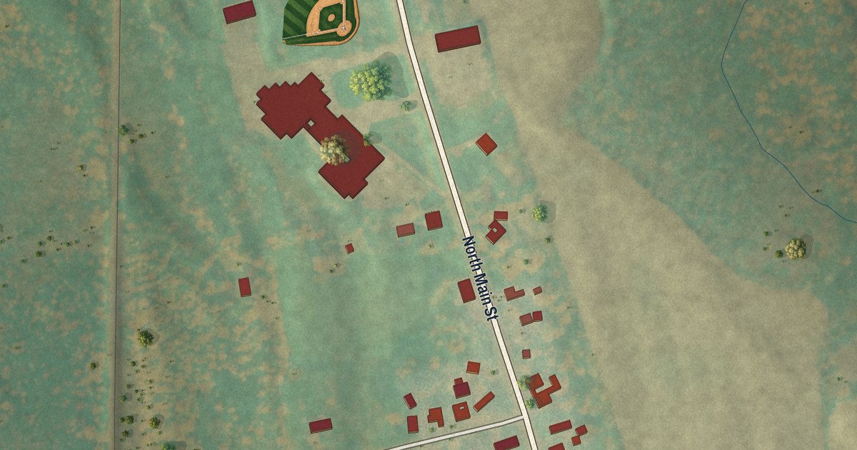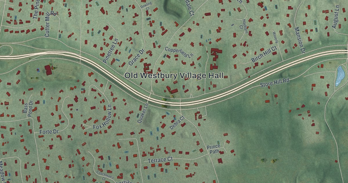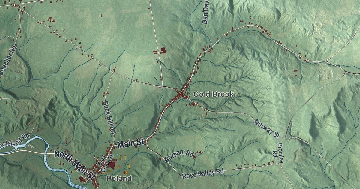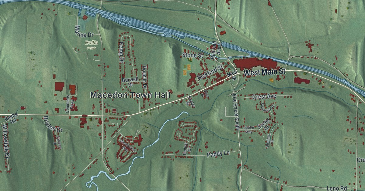
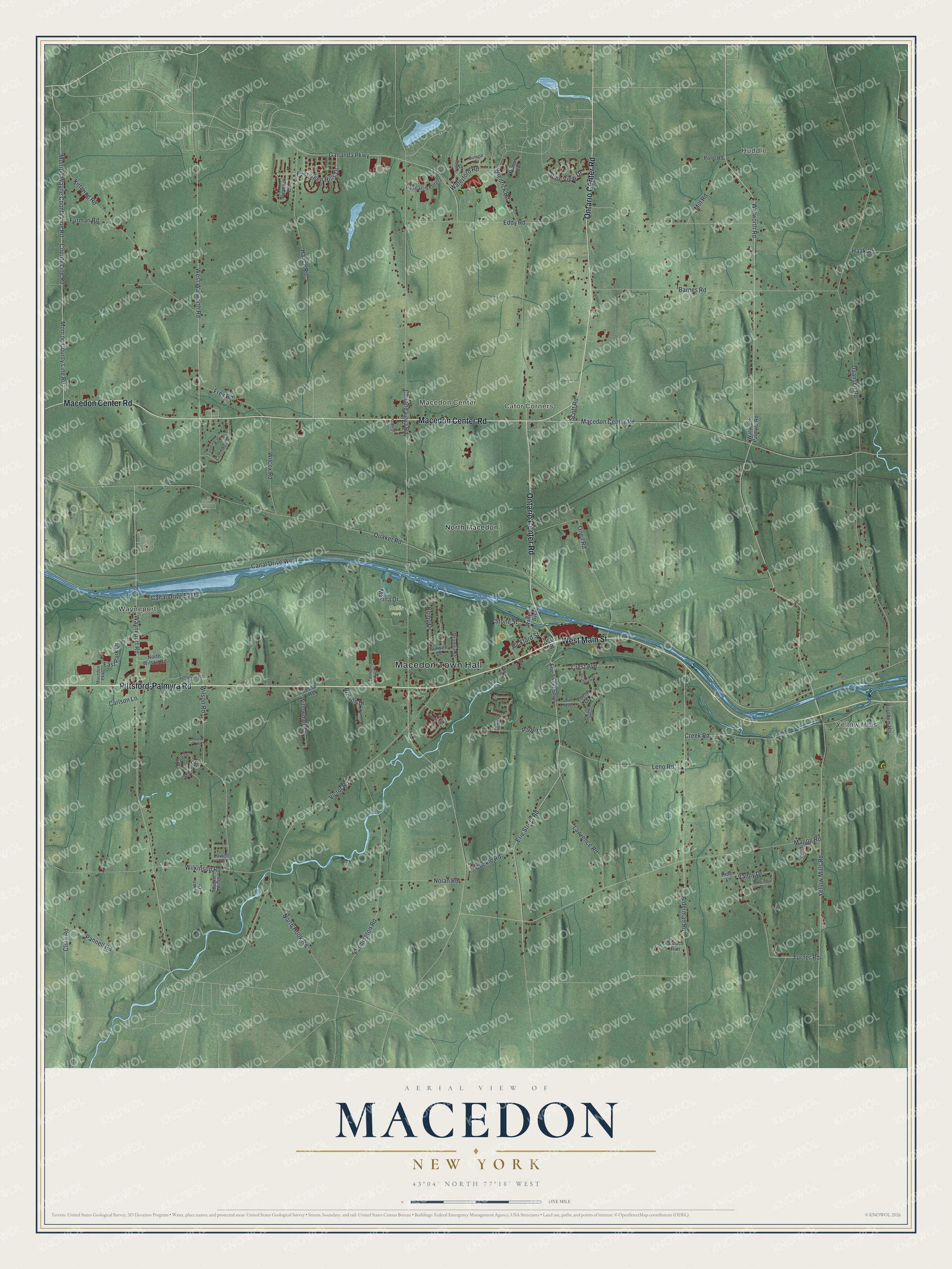
This beautifully detailed map of Macedon, New York was created in 2026 using aerial imagery combined with modern topographical, census, street and landmark data. It’s a one-of-a-kind view of Macedon that combines accurate data with a vintage aesthetic. The map shows every building in its true location, many of the roads carry their names, and the shaded topographic relief shows the shape of the land.
Explore an aerial view of Macedon, New York
On the map you’ll find Macedon Town Hall, Huddle, Yellow Mills, Wayneport, Macedon Center, Cator Corners, and Bullis Park, along with Pittsford-Palmyra Road, Main Street, Macedon Center Road, Ontario Center Road, and more. If you look closely you can even find your house accurately drawn in its correct location. Zoom in on the preview to look for yours.
Did You Know?
Webb and Hannah Harwood became the first settlers here in 1789. The Erie Canal brought many newcomers, and Macedon split from the western half of Palmyra in 1823. The town took its name from the ancient kingdom where Alexander the Great was born.
Take a closer look at the Macedon map
Names on this map
These names are printed on this map.
Places: Macedon Town Hall, Huddle, Yellow Mills, Wayneport, Macedon Center, Cator Corners, Bullis Park and North Macedon.
Streets and roads: Pittsford-Palmyra Road, West Main Street, Macedon Center Road, Ontario Center Road, Erie Street Road, Yellow Mills Road, Walworth Road, Turner Road, County Line Road, Monroe County Line Road, Monroe Wayne County Line Road, Evergreen Hills Drive.
More street names, A to Z
Alderman Road, Barnes Road, Beebe Road, Bickford Street, Brixton Drive, Bunker Hill Drive, Burnham Heights, Burwell Drive, Camborn Drive, Canal Drive East, Canal Drive West, Canandaigua Road, Carlson Lane, Cline Road, Cockle Road, Commons Parkway, Cornwall Drive, Creek Road, Crest Avenue, Daansen Road, Denise Drive, Drumlin Drive, East Park Drive, Eddy Road, Erie Street South, Euclid Drive, Farmington Road, Fawn Drive, Frey Road, Furman Road, Gananda Parkway, Haak Road, Hance Road, Jordan Drive, Jupiter Way, Kemp Drive, Kittering Road, Lawrence Road, Leno Road, Lowell Drive, Macedon Parkway, Magog Road, Main Street, Marina Drive, Marvin Drive, Mary Drive, Mill Road, Morrison Drive, Nolan Road, North Hook Road, North Wilson Road, Olympus Drive, Oneil Road, Osband Avenue, Paddy Lane, Pannell Road, Peacock Circle, Pine View Drive, Pintail Vw, Pond Road, Poplar Street, Quaker Road, Race Street, Railroad Avenue, Research Forest, Rider Lane, Sampson Road, Scott Road, Southview Drive, Spruce Run, Stone Street, Sunrise Drive, Tanner Lane, Timberline Drive, Valley Drive, Vandy Drive, Victor Road, Walworth Palmyra Road, Waterford Road, Wayneport Road, West Walworth Road, Wiedrick Road, Wilcox Road, Wilkinson Road, Willowdale Drive, Wilson Road, Woodsview Way.
See it on a wall
The Macedon map as a framed print. Swipe for more.


This beautifully detailed map of Macedon makes an attractive addition to your office, library, or den, and it can even be used to teach children the geography and history of the area. It also makes a great gift for someone who left Macedon and still calls it home. When you’re done exploring, click here to get your copy of the Macedon map.