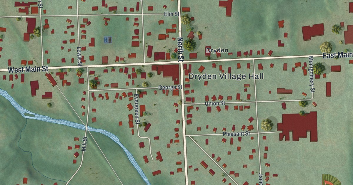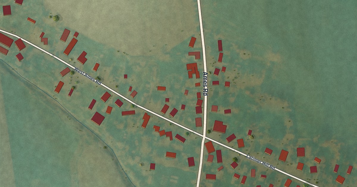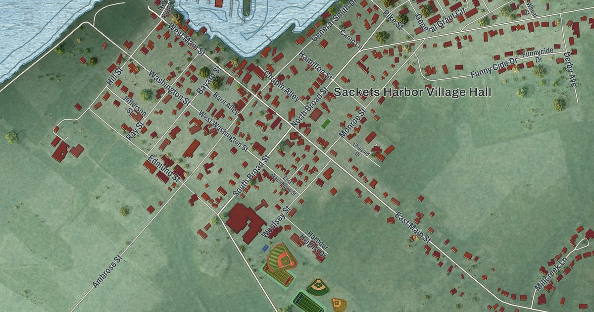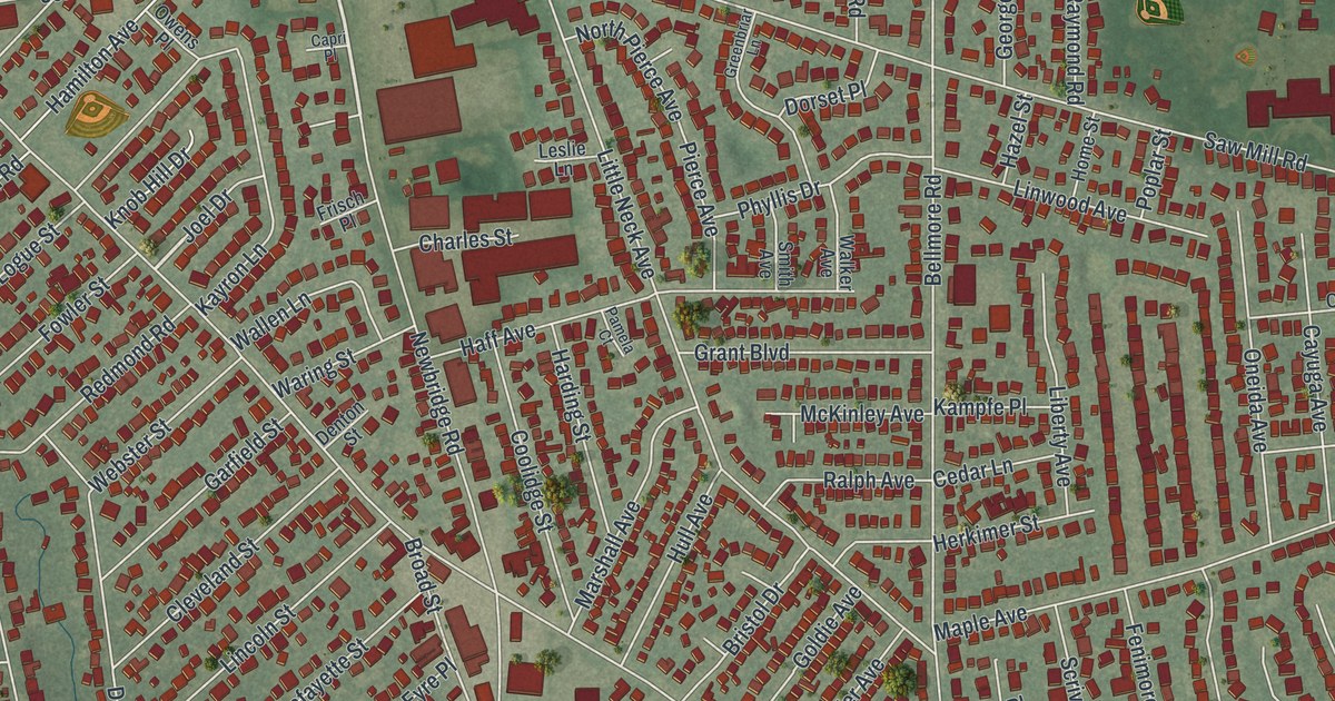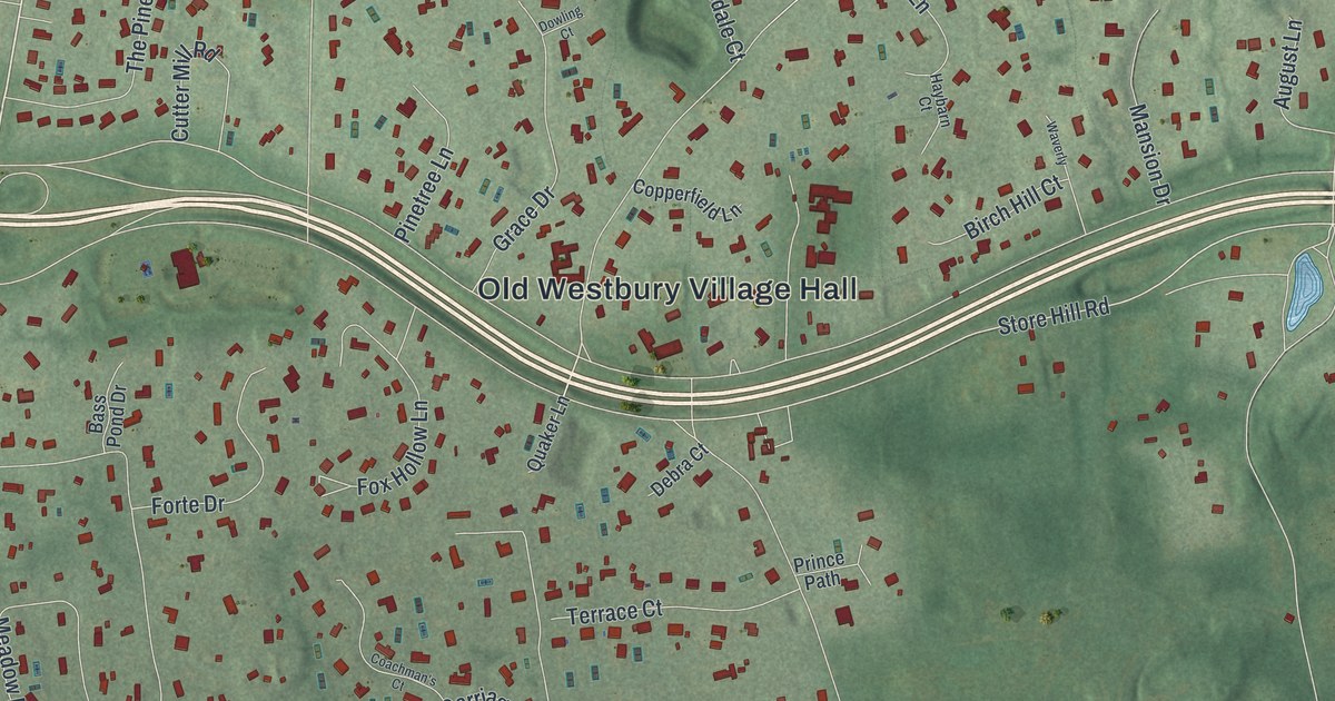
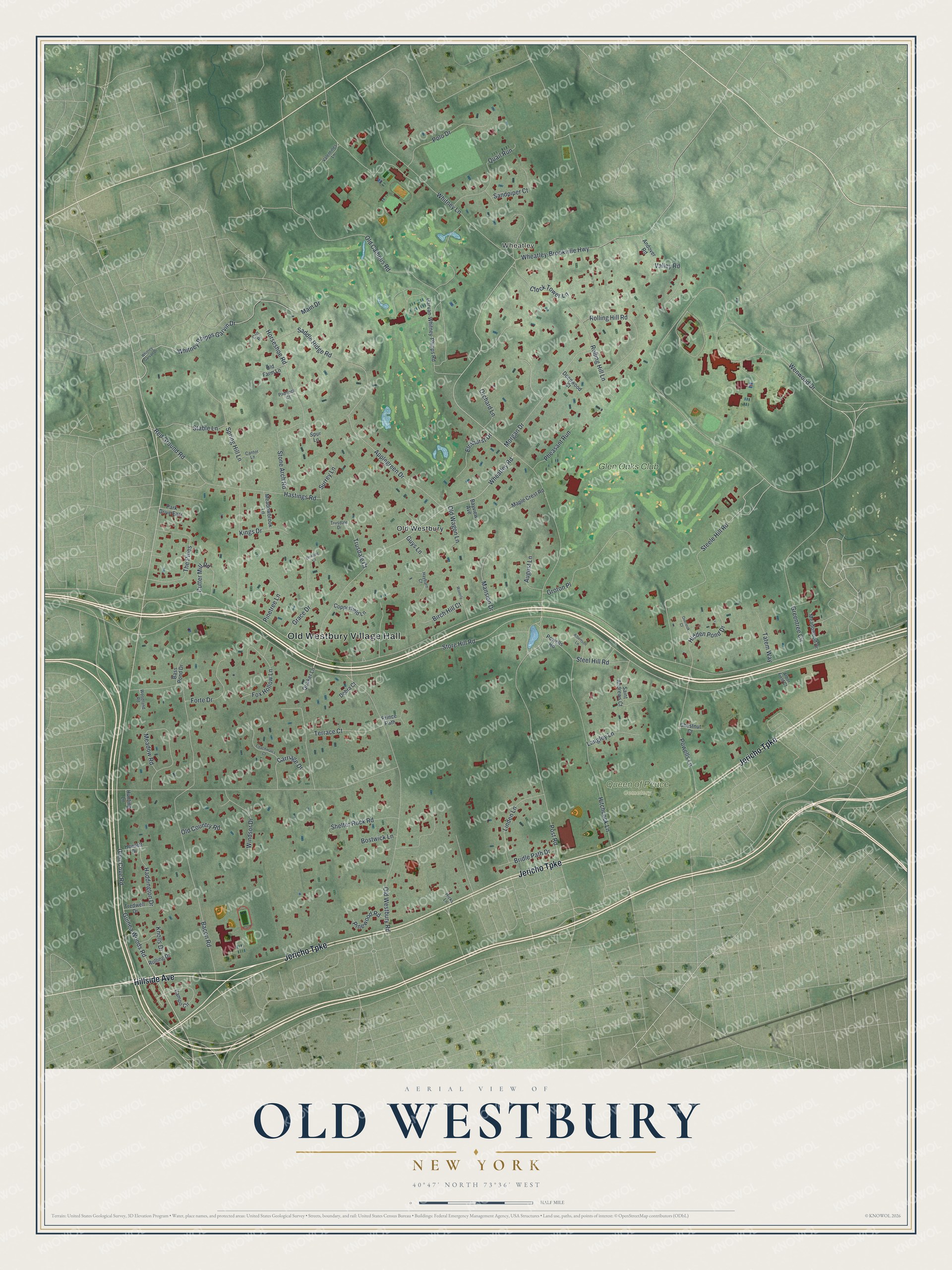
This beautifully detailed map of Old Westbury, New York was created in 2026 using aerial imagery combined with modern topographical, census, street and landmark data. It’s a one-of-a-kind view of Old Westbury that combines accurate data with a vintage aesthetic. The map shows every building in its true location, many of the roads carry their names, and the shaded topographic relief shows the shape of the land.
Explore an aerial view of Old Westbury, New York
On the map you’ll find Old Westbury Village Hall, Wheatley, and Queen of Peace Cemetery, along with Jericho Turnpike, Hillside Avenue, Glen Cove Road, Wheatley Road, and more. If you look closely you can even find your house accurately drawn in its correct location. Zoom in on the preview to look for yours.
Did You Know?
After the Civil War, wealthy New Yorkers came to Old Westbury to raise horses, hunt foxes and play polo. Great estates soon rose across the countryside. Westbury House was the home of John Shaffer Phipps, eldest son of Henry Phipps. Today that estate is run as Old Westbury Gardens.
Take a closer look at the Old Westbury map
Names on this map
These names are printed on this map.
Places: Old Westbury Village Hall, Wheatley, Queen of Peace Cemetery, Old Westbury and Glen Oaks Club.
Streets and roads: Jericho Turnpike, Hillside Avenue, Glen Cove Road, Wheatley Road, Store Hill Road, Old Westbury Road, Post Road, Wenwood Drive, Whitney Phipps Garvin Drive, Wheatley-Brookville Highway, Guinea Woods Road, Bacon Road.
More street names, A to Z
Albertson Lane, Andover Road, Applegreen Drive, Arbor Field Court, August Lane, Bass Pond Drive, Bayview Avenue, Birch Hill Court, Bostwick Lane, Bridle Path Drive, Campo Circle, Cantor Lane, Carriage Drive, Chestnut Court, Clock Tower Lane, Coachman's Court, Colt Place, Copperfield Lane, Cutter Mill Road, Debra Court, Deepwood Court, Dowling Court, Elmhurst Drive, Forte Drive, Fox Hollow Lane, Garvan-Whitney-Phipps Road, Grace Drive, Greentree Circle, Groton Place, Guys Lane, Haddington Drive, Hastings Road, Haybarn Court, Hewlett Drive, Hicks Lane, Hidden Pond Drive, Hitchcock Lane, Horseshoe Road, Hunting Lane, Kings Drive, Knolls Drive, Langley Lane, Linden Lane, Main Drive, Mansion Drive, Maple Crest Road, Meadowbrook Lane, Meadowood Drive, Meadow Road, Morgan Drive, Old Campus Road, Old Country Road, Old Farm Lane, Old Wagon Lane, Orchard Lane, Overlook Court, Paddock Court, Park Drive East, Pheasant Run, Pinetree Lane, Pinewood Road, Polo Drive, Powells Lane, Powells Road, Prince Path, Quail Run, Quaker Lane, Red Ground Road, Rolling Drive, Rolling Hill Lane, Rolling Hill Road, Saddle Ridge Road, Saint Andrews Court, Sandpiper Court, Shelter Rock Road, Spring Hill Lane, Spur Lane, Stable Lane, Steele Hill Road, Steel Hill Road, Stone Arch Road, Surrey Lane, Tatem Way, Terrace Court, The Pines, Tredwell Drive, Trusdale Court, Trusdale Drive, Valentines Lane, Valley Road, Waverly, Whitney -Garvan Drive, Whitney Lane, Windsor Drive, Woodland Road.
See it on a wall
The Old Westbury map as a framed print. Swipe for more.


This beautifully detailed map of Old Westbury makes an attractive addition to your office, library, or den, and it can even be used to teach children the geography and history of the area. It also makes a great gift for anyone who grew up in Old Westbury or moved away. When you’re done exploring, click here to get your copy of the Old Westbury map.