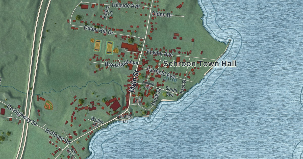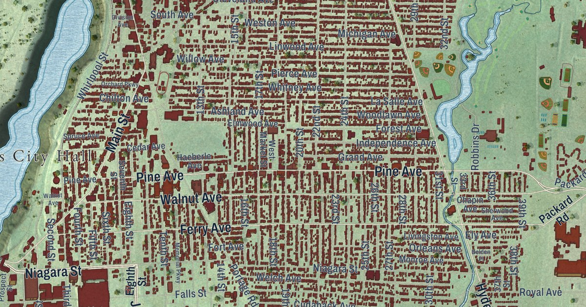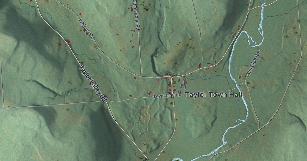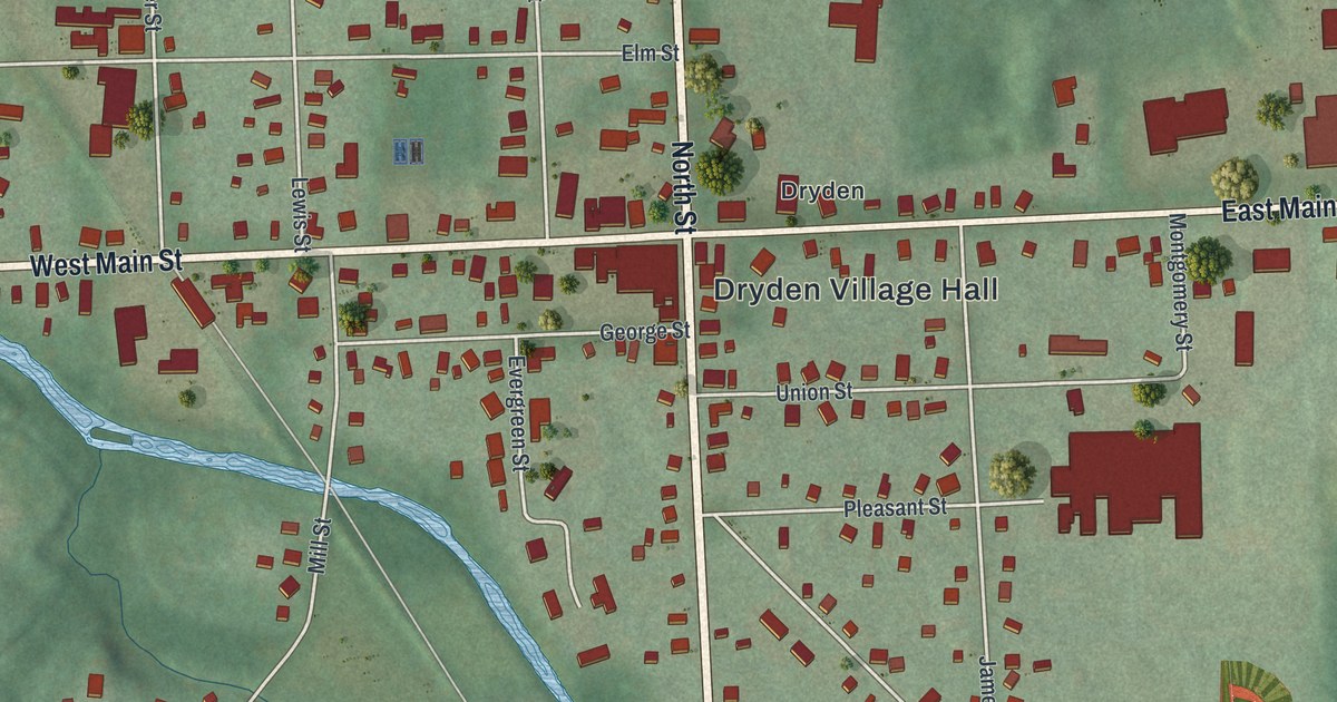
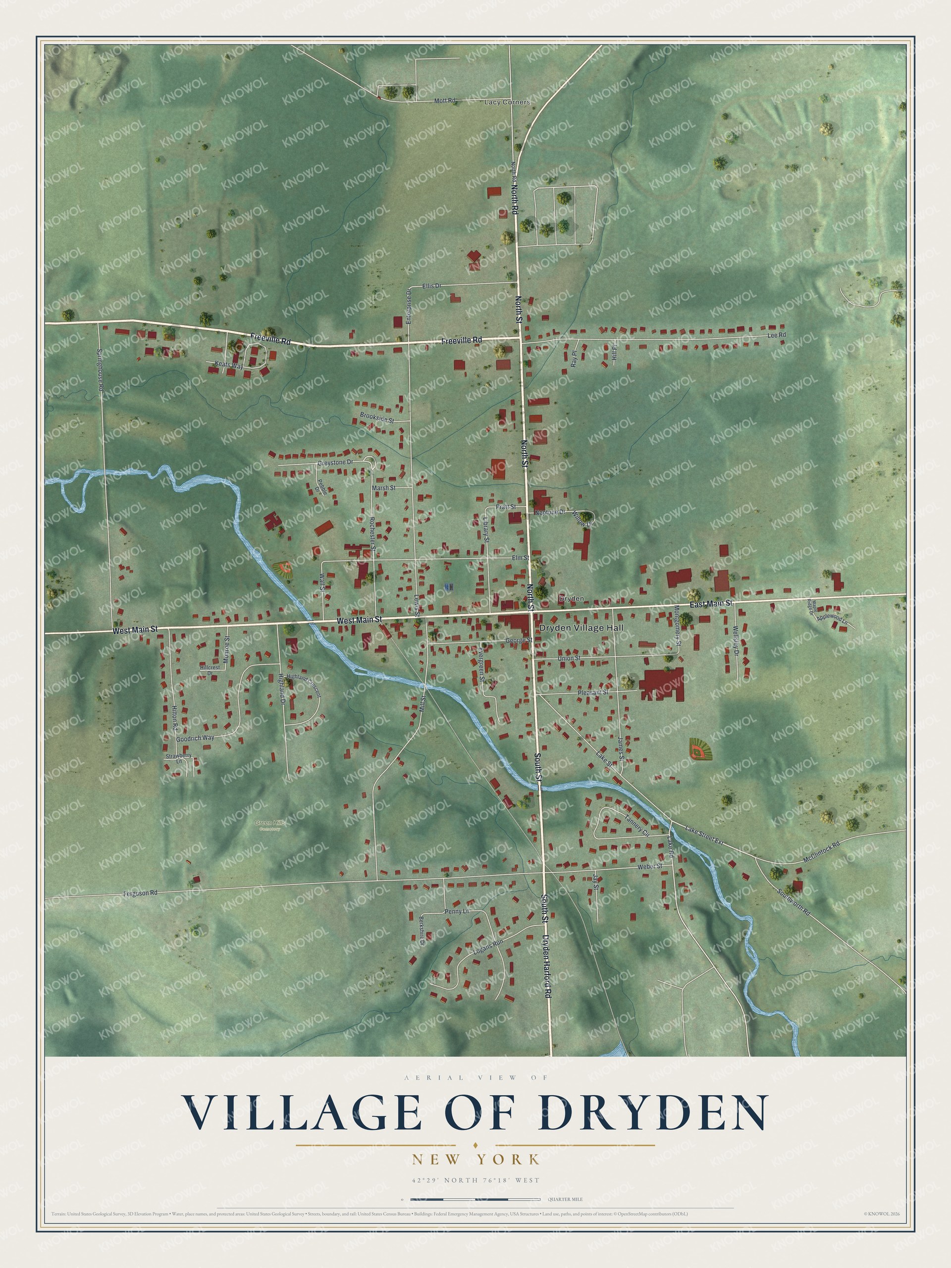
This beautifully detailed map of the Village of Dryden, New York was created in 2026 using aerial imagery combined with modern topographical, census, street and landmark data. It’s a one-of-a-kind view of the Village of Dryden that combines accurate data with a vintage aesthetic. The map shows every building in its true location, many of the roads carry their names, and the shaded topographic relief shows the shape of the land.
Explore an aerial view of the Village of Dryden, New York
On the map you’ll find Dryden Village Hall, Lacy Corners, and Green Hills Cemetery, along with South Street, Dryden Harford Road, North Street, Main Street, and more. If you look closely you can even find your house accurately drawn in its correct location. Zoom in on the preview to look for yours.
Did You Know?
The Southworth Library in Dryden was founded by Jennie McGraw. Her grandfather, John Southworth, had become a millionaire as a farmer. She set up a 30,000 dollar trust to build and run a library honoring him and her mother. It opened on September 25, 1884.
Take a closer look at the Village of Dryden map
Names on this map
These names are printed on this map.
Places: Dryden Village Hall, Lacy Corners, Green Hills Cemetery and Dryden.
Streets and roads: South Street, Dryden Harford Road, North Street, West Main Street, North Road, Freeville Road, East Main Street, Lake Street Extension, Greystone Drive, Lake Road, Enterprise Drive, Ferguson Road.
More street names, A to Z
Applewood Lane, Berkshire Drive, Brookside Street, Ellis Drive, Elm Street, Evergreen Street, George Street, Goodrich Way, Highland Crescent, Highland Drive, Hillcrest Drive, Hill Place, Hilton Road, James Street, Jay Street, Keats Way, Lake Street, Lee Road, Lewis Street, Library Street, Logans Run, Maple Ridge Drive, Marsh Street, McClintock Road, Mill Street, Monroe Street, Montgomery Street, Mott Road, Neptune Drive, Pebble Drive, Penny Lane, Pleasant Street, Pratt Street, Ray Place, Rochester Street, Southworth Road, Springhouse Road, Strawberry Lane, Tannery Circle, Union Street, Wall Street, Weber Street, Wellsley Drive, Willow Drive.
See it on a wall
The Dryden map as a framed print. Swipe for more.


This beautifully detailed map of the Village of Dryden makes an attractive addition to your office, library, or den, and it can even be used to teach children the geography and history of the area. It also makes a great gift for someone who left the Village of Dryden and still calls it home. When you’re done exploring, click here to get your copy of the Village of Dryden map.