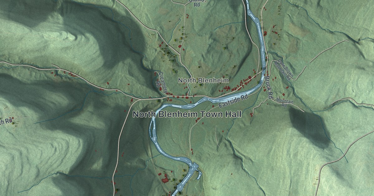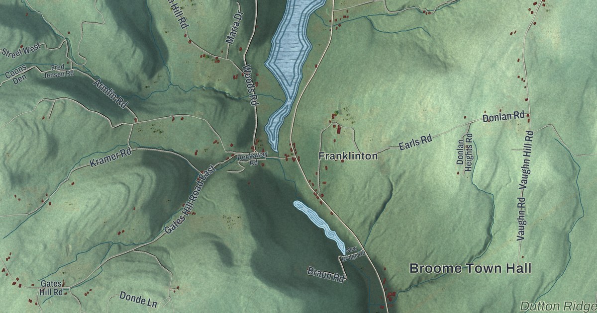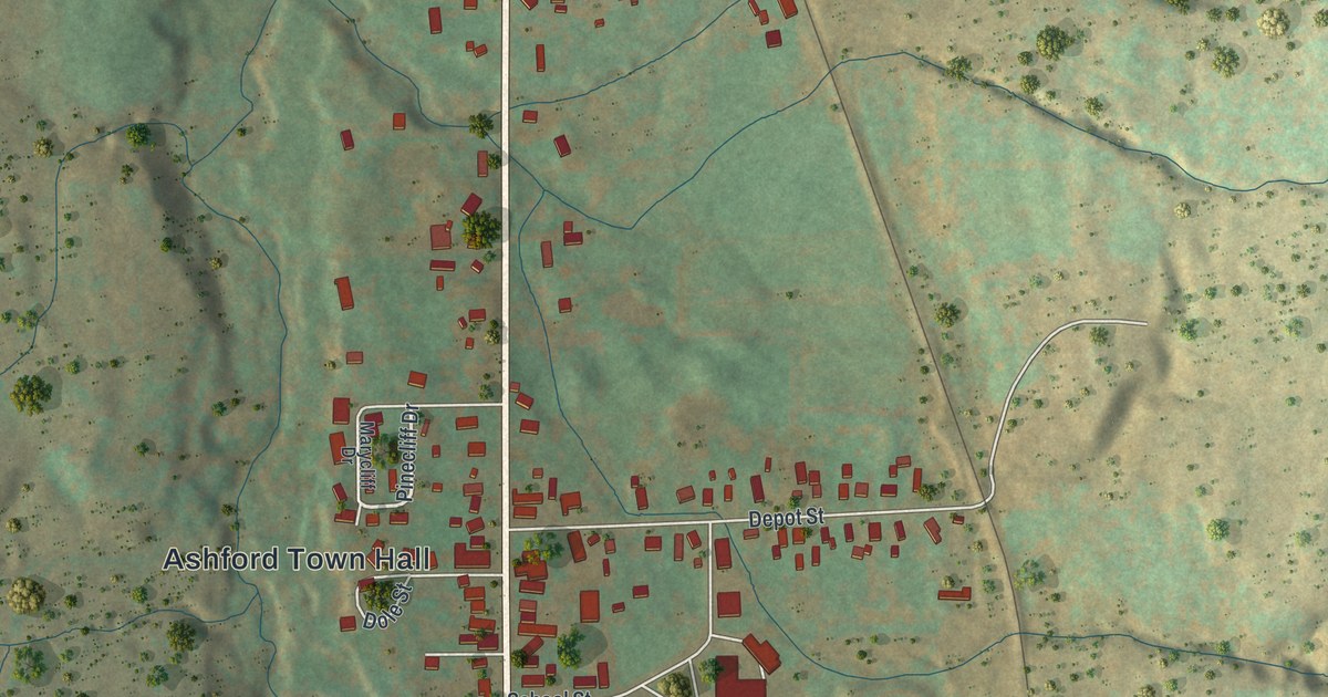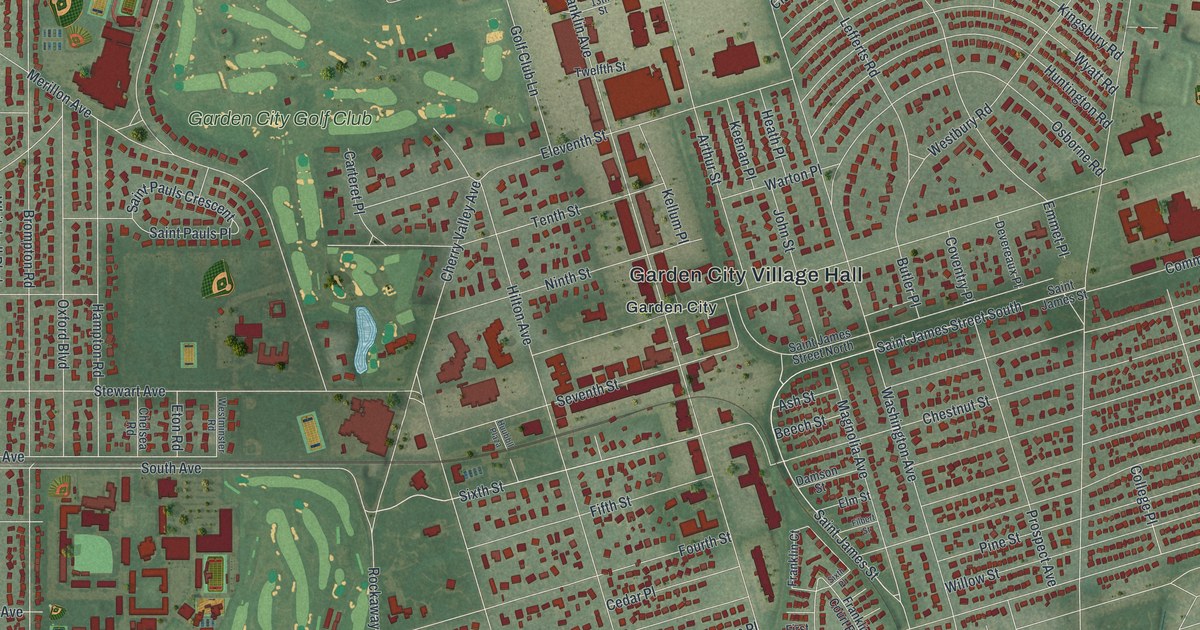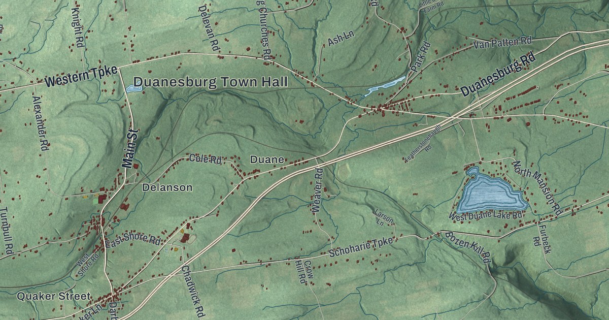
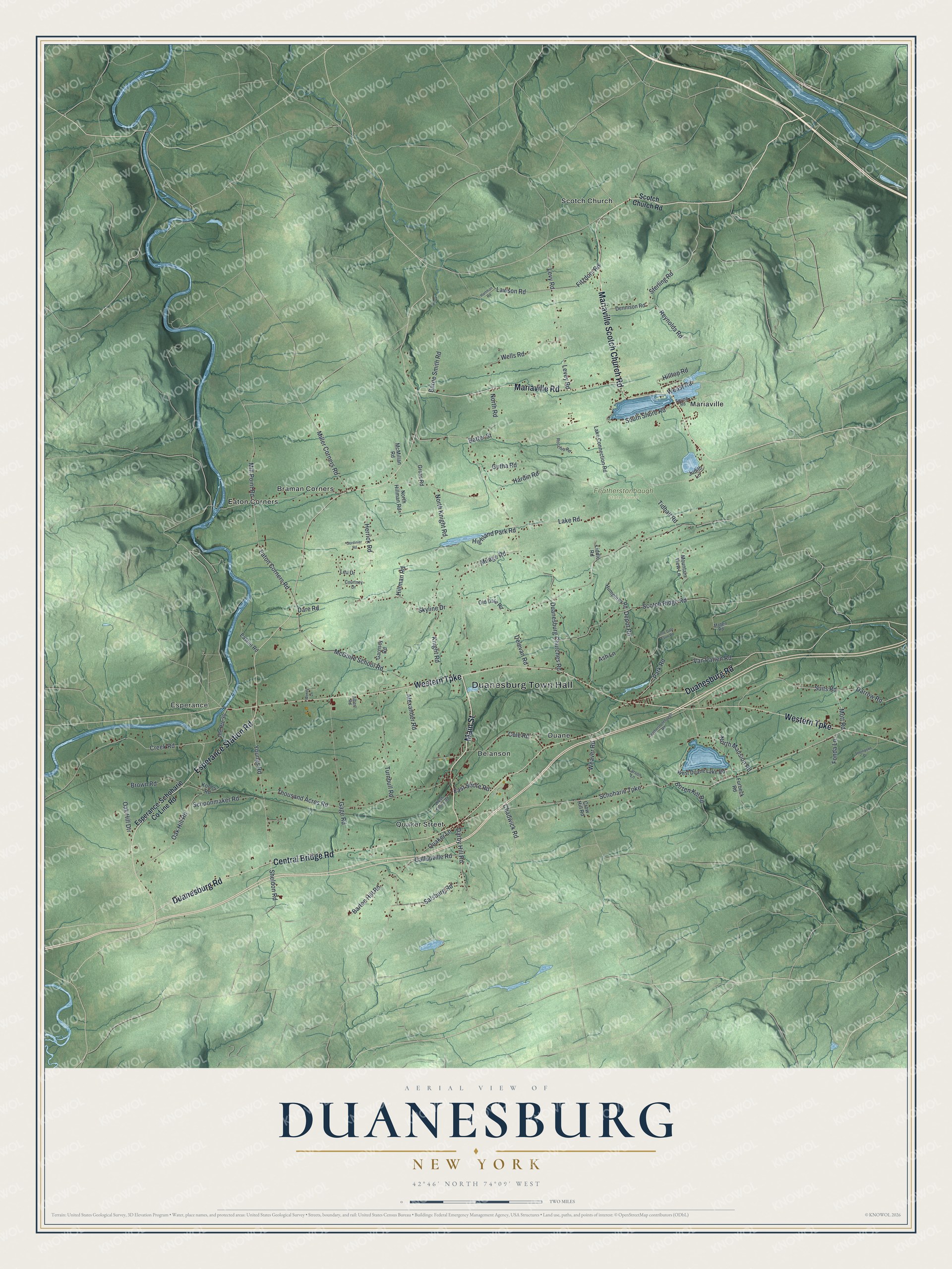
This beautifully detailed map of Duanesburg, New York was created in 2026 using aerial imagery combined with modern topographical, census, street and landmark data. It’s a one-of-a-kind view of Duanesburg that combines accurate data with a vintage aesthetic. The map shows every building in its true location, many of the roads carry their names, and the shaded topographic relief shows the shape of the land.
Explore an aerial view of Duanesburg, New York
On the map you’ll find Duanesburg Town Hall, Braman Corners, Delanson, Duane, Eaton Corners, Esperance, and Featherstonhaugh State Forest, along with Main Street, Mariaville Road, Western Turnpike, Duanesburg Road, and more. If you look closely you can even find your house accurately drawn in its correct location. Zoom in on the preview to look for yours.
Did You Know?
Duanesburg was named for James Duane, a jurist and land speculator. He served as mayor of Manhattan from 1784 to 1789. Duane sat in the Continental Congress almost without a break until 1783. He helped with the final draft of the Articles of Confederation. He had inherited a large tract here from his father. That’s from the 1940 WPA guide to New York.
Take a closer look at the Duanesburg map
Names on this map
These names are printed on this map.
Places: Duanesburg Town Hall, Featherstonhaugh State Forest, Braman Corners, Delanson, Duane, Eaton Corners, Esperance, Mariaville, Quaker Street and Scotch Church.
Streets and roads: Main Street, Mariaville Road, Western Turnpike, Duanesburg Road, Mariaville Scotch Church Road, Esperance Station Road, Central Bridge Road, Schoharie Turnpike, Darby Hill Road, Sterling Road, Reynolds Road, Mill Point Road.
More street names, A to Z
Albert Road, Alexander Road, Ash Lane, Barton Hill Road, Batter Street, Berne Smith Road, Bozen Kill Road, Brown Road, Chadwick Road, Cole Road, Courtney Drive, Creek Road, Crow Hill Road, Dare Road, Darrow Road, Delevan Road, Dennison Road, Depot Road, Duanesburg Churches Road, Easton Road, East Shore Road, Eaton Corners Road, Esperance-Schoharie County Line Road, Featherstonehaugh Road, Fitzdom Road, Fonda Lane, Furbeck Road, Gage Road, Gallupville Road, Garnsey Road, Gordinier Road, Gross Road, Gutha Road, Hardin Road, Hartman Road, Herrick Road, Highland Park Road, Hillman Road, Hilltop Road, Humphrey Road, Judith Lane, Knight Road, Koons Road, Lake Connection Road, Lake Road, Larson Lane, Lawson Road, Lea Drive, Levey Road, Levy Road, Liddle Road, Little Dale Farm Road, Maben Road, McGuire School Road, McMillan Road, Miller Corners Road, Mott Road, Mountain View Lane, Mudge Road, North Hillman Road, North Knight Road, North Mansion Road, North Road, Oak Hill Dtr, Oak Hill Road, Old Dare Road, Old Route 30, Park Road, Quaker Lane, Rocchio Road, Salsburg Road, Schoonmaker Road, Scotch Church Road, Scotch Ridge Road, Sheldon Road, Skyline Drive, South Shore Road, Spring Road, Suits Road, Thompson Drive, Thousand Acres Road, Tidball Road, Turnbull Road, Van Patten Road, Weast Road, Weaver Road, Wells Road, Wendy Lane, West Duane Lake Road, West Shore Road, Youngs Road.
See it on a wall
The Duanesburg map as a framed print. Swipe for more.


This beautifully detailed map of Duanesburg makes an attractive addition to your office, library, or den, and it can even be used to teach children the geography and history of the area. It also makes a great gift for someone who left Duanesburg and still calls it home. When you’re done exploring, click here to get your copy of the Duanesburg map.