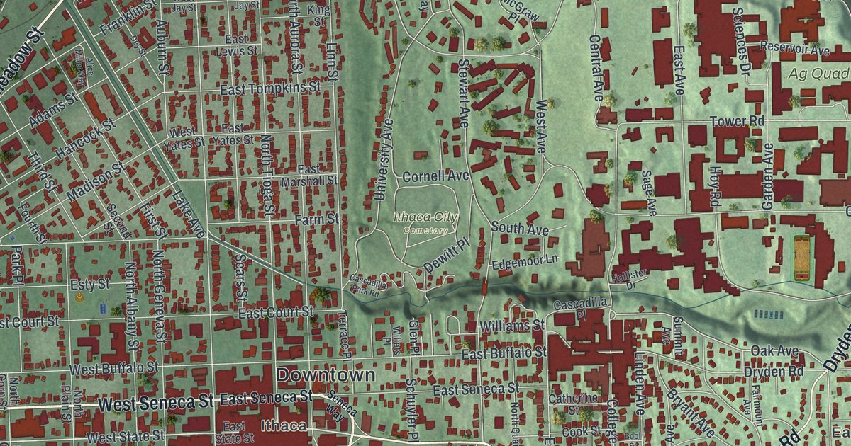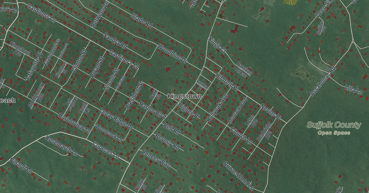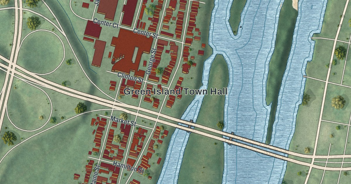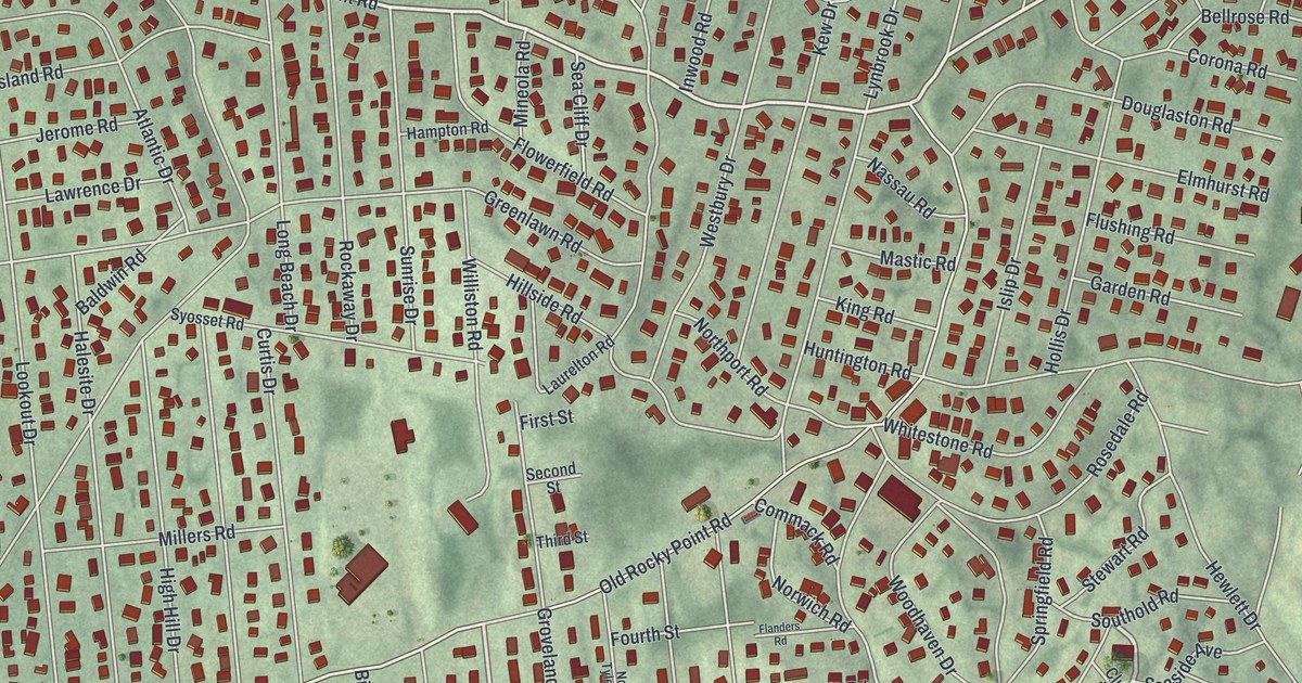
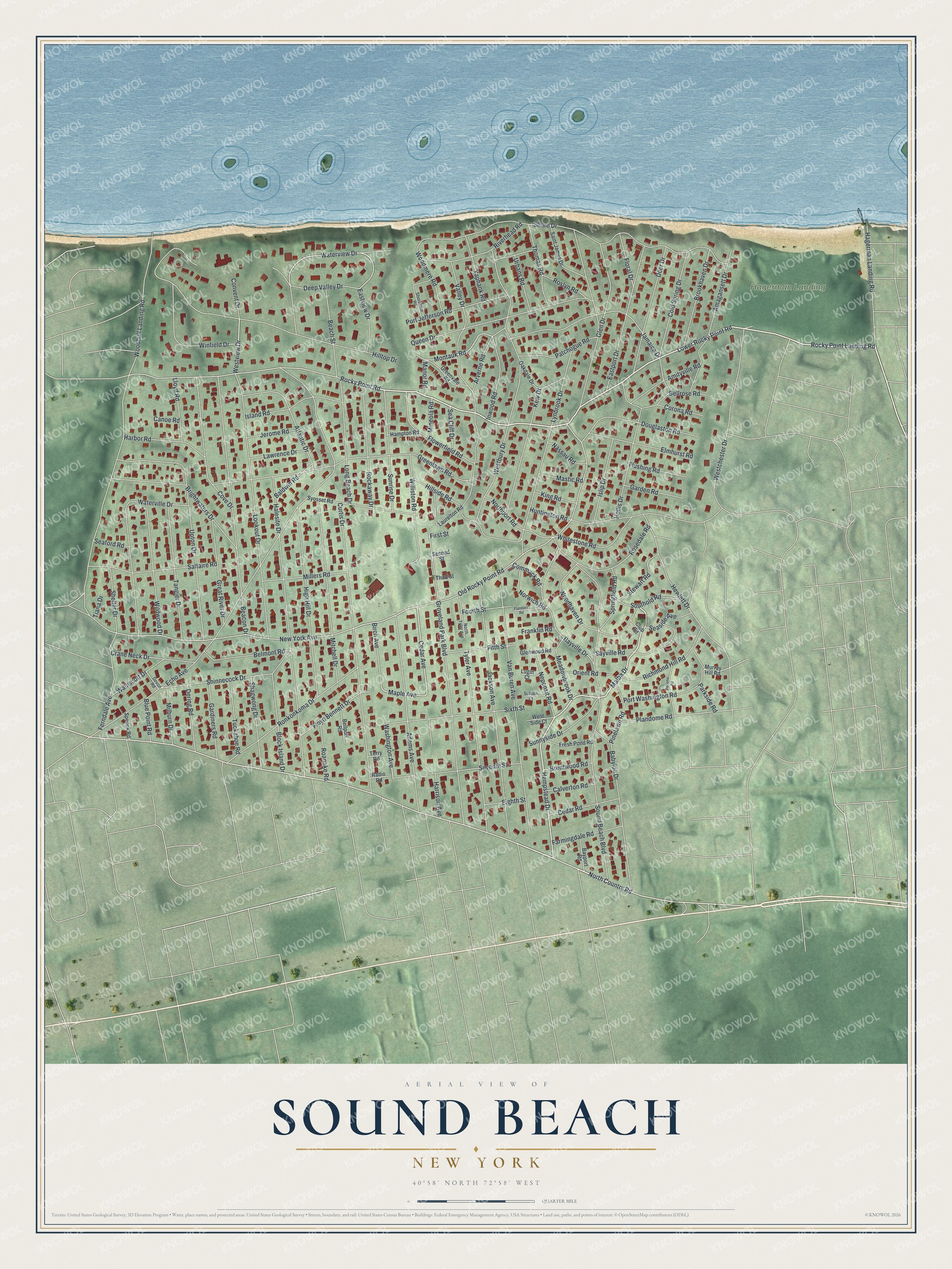
This beautifully detailed map of Sound Beach, New York was created in 2026 using aerial imagery combined with modern topographical, census, street and landmark data. It's a modern aerial view of Sound Beach in Suffolk County, New York, that combines modern data with a vintage aesthetic. The roads feature printed names, and if you look closely you can find your exact house accurately shown in its correct location.
Explore an aerial view of Sound Beach, New York
On this map you'll find Hagerman Landing, Rocky Point Road, Hempstead Drive, Rocky Point Landing Road, Malba Drive, Westview Drive, North Country Road, Cedar Avenue, Washington Avenue, Maple Avenue, Old Rocky Point Road, Waterview Drive, and more. Each red shape is a building, so zoom in on the preview and look for yours.
Sound Beach is a community in Suffolk County. The Census Bureau counted 7,416 people here in 2020. The map prints the town name in its title panel, with the coordinates below it.
Take a closer look at the Sound Beach map
Names on this map
These names are printed on this map.
Places: Hagerman Landing.
Streets and roads: Rocky Point Road, Hempstead Drive, Rocky Point Landing Road, Malba Drive, Westview Drive, North Country Road, Cedar Avenue, Washington Avenue, Maple Avenue, Old Rocky Point Road, Waterview Drive, Montauk Road.
More street names, A to Z
Adams Avenue, Amagansett Drive, Amityville Road, Arverne Road, Atlantic Drive, Babylon Drive, Baldwin Road, Bayport Road, Bayville Drive, Beach Street, Beacon Drive, Bellport Road, Bellrose Road, Belmont Road, Birch Avenue, Block Island Drive, Blue Point Road, Brentwood Road, Brightwaters Drive, Brookhaven Drive, Calverton Road, Canoe Road, Cedar Road, Club Road, Cold Spring Drive, Commack Road, Convent Drive, Corona Road, Cove Drive, Crane Neck Drive, Curtis Drive, Deep Valley Drive, Deer Drive, Dering Road, Devon Road, Douglaston Road, Eastport Drive, Eastview Drive, Echo Avenue, Eighth Street, Elmhurst Road, Farmingdale Road, Ferndale Avenue, Fifth Street, First Street, Flanders Road, Floral Drive, Flowerfield Road, Floyd Bennett Drive, Flushing Road, Fourth Street, Franklin Road, Fresh Pond Road, Garden Road, Gardiners Road, Glen Drive, Glenwood Road, Great River Drive, Greenlawn Road, Greenvale Road, Groveland Park Boulevard, Hagerman Landing Road, Halesite Drive, Hampton Road, Harbor Road, Harrison Avenue, Hewlett Drive, High Hill Drive, Hillside Road, Hilltop Drive, Hollis Drive, Huntington Road, Inwood Road, Island Road, Islip Drive, Jackson Avenue, Jamaica Drive, Jerome Road, Kew Drive, King Road, Laurelton Road, Lawrence Drive, Lloyd Road, Long Beach Drive, Lookout Drive, Lower Rocky Point Road, Lugin Court, Lynbrook Drive, Manor Road, Mastic Road, Meadowbrook Drive, Milburn Drive, Millers Road, Mineola Road, Mitchell Drive, Murray Hill Road, Nassau Road, Neponsit Road, New York Avenue, Northport Road, North Tyler Avenue, Norwich Road, Oakdale Drive, Orient Road, Parkside Road, Patchogue Road, Peconic Road, Pinelawn Road, Plandome Road, Port Jefferson Road, Port Washington Road, Queen Drive, Radio Road, Richmond Hill Road, Riverhead Road, Roanoke Road, Rockaway Drive, Ronkonkoma Drive, Rosedale Road, Roslyn Road, Saint James Drive, Saltaire Road, Sayville Road, Sea Cliff Drive, Seaford Road, Seaside Avenue, Second Street, Selden Court, Seventh Street, Shagwong Drive, Shelter Drive, Shinnecock Drive, Shore Drive, Shoreham Road, Sixth Street, Sound Beach Boulevard, Southold Road, Speonk Road, Springfield Road, Stewart Road, Sunnyside Drive, Sunrise Drive, Syosset Road, Tangier Drive, Terry Road, Third Street, Thomas Road, Tiana Drive, Tuckahoe Road, Tyler Avenue, Upton Drive, Urbans Road, Valley Drive, Van Buren Avenue, Wainscott Drive, Waterville Drive, Westbury Drive, Westchester Drive, West Side Court, Whitestone Road, Wildwood Drive, Williston Road, Winfield Drive, Woodhaven Drive, Woodhull Landing Road, Woodmere Road, Yaphank Road.
See it on a wall
The Sound Beach map as a framed print. Swipe for more.


Created by KNOWOL in 2026. The buildings are small red shapes, the roads carry their printed names, and shaded relief shows the shape of the land. The title panel reads "AERIAL VIEW OF SOUND BEACH, NEW YORK" with 40°58' NORTH 72°58' WEST.
It suits a den, a classroom or a front hall, and it makes a gift for anyone with Sound Beach roots. Open the preview and find the block you know. See sizes and frames for the Sound Beach map.