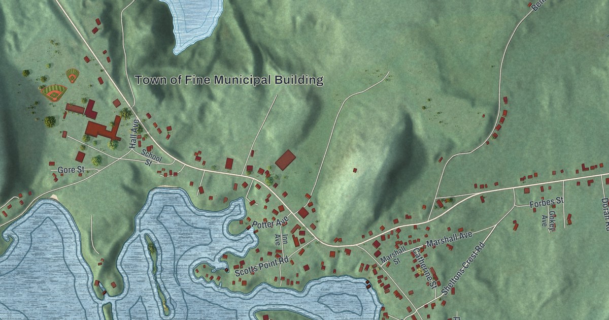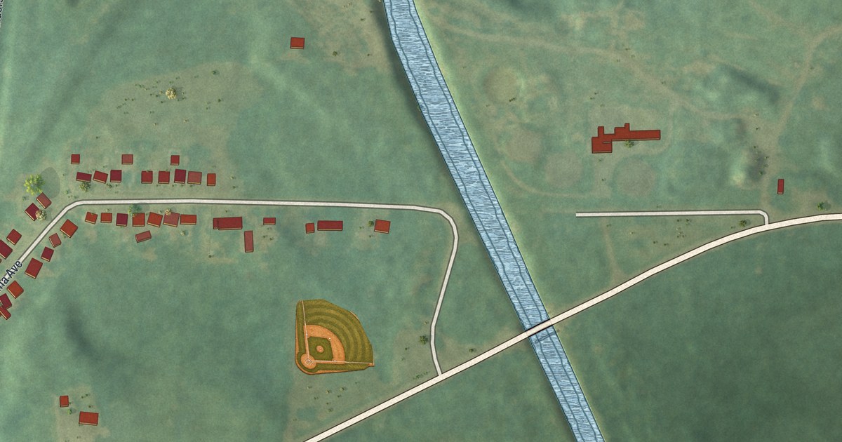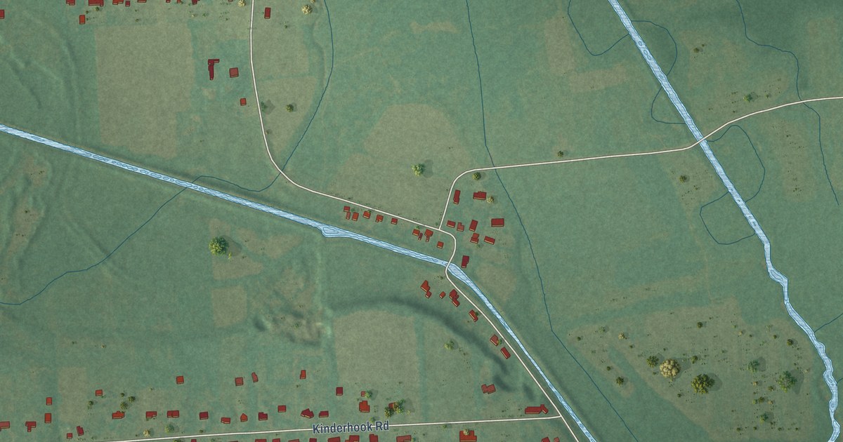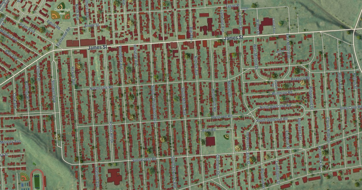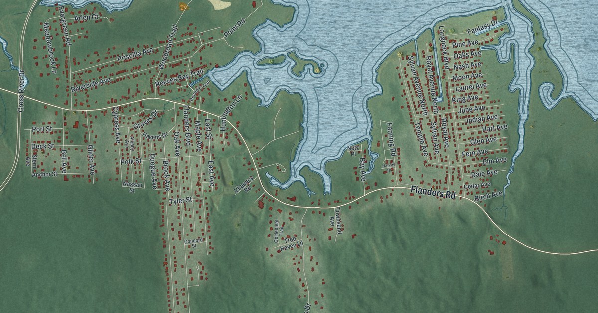
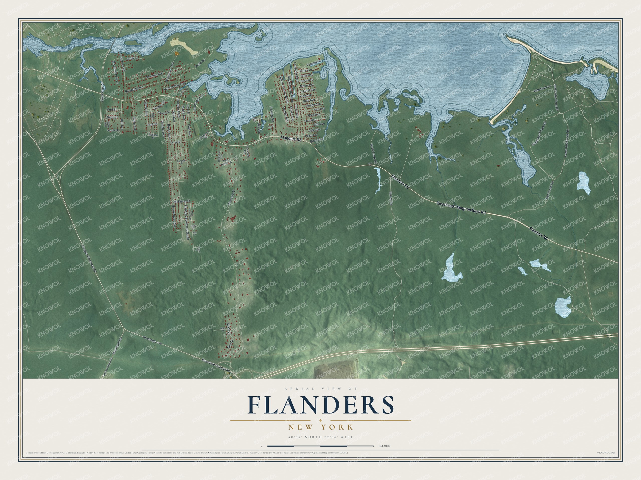
This beautifully detailed map of Flanders, New York was created in 2026 using aerial imagery combined with modern topographical, census, street and landmark data. It’s a one-of-a-kind view of Flanders that combines accurate data with a vintage aesthetic. The map shows every building in its true location, many of the roads carry their names, and the shaded topographic relief shows the shape of the land.
Explore an aerial view of Flanders, New York
On the map you’ll find Riverhead-Hampton Bays Road, Flanders Road, Quogue-Riverhead Road, Riverleigh Avenue, Riverhead-Quogue Road, and more. If you look closely you can even find your house accurately drawn in its correct location. Zoom in on the preview to look for yours.
Did You Know?
Farmer Martin Maurer built the Big Duck in 1931 as a shop. In 1937 he moved the 20-foot building four miles to his new ranch in Flanders. It sold ducks and their eggs until 1984. After years in a county park, it returned to its Flanders spot in 2007.
Take a closer look at the Flanders map
Names on this map
These names are printed on this map.
Streets and roads: Riverhead-Hampton Bays Road, Flanders Road, Quogue-Riverhead Road, Riverleigh Avenue, Riverhead-Quogue Road, Red Cedar Point Road, Fanning Road, Upper Red Creek Road, Lower Red Creek Road, Brook Avenue, Pleasure Drive, Spinny Road.
More street names, A to Z
Albany Avenue, Alissa Lane, Anchor Street, Arlen Court, Bay Avenue, Bell Avenue, Birch Avenue, Birch Creek Road, Birch Drive, Brookhaven Avenue, Cedar Avenue, Chauncy Road, Concord Street, Cross River Drive, Cypress Avenue, Dale Avenue, Deck Street, East Avenue, East Street, Elm Avenue, Evergreen Road, Fantasy Drive, Fern Avenue, Flanders Boulevard, Flanders Boulevard South, Glen Avenue, Glider Avenue, Goldenleaf Trail, Grant Court, Groves Drive, Hart Avenue, Harvey Drive, Havens Drive, Holly Place, Huntington Lane, Indian Avenue, June Avenue, King Avenue, Laurel Avenue, Longneck Boulevard, Maple Avenue, Maple Avenue South, Marc Place, McKinley Street, Meadowbrook Lane, Moon Avenue, Nash Avenue, Nassau Street, Netz Place, Oak Avenue, Oaks Avenue, Old Riverhead Road, Peconic Trail, Pine Avenue, Pine Place, Point Road, Polk Street, Port Street, Priscilla Avenue, Quogue Avenue, Red Creek Road, Reeves Bay Trail, Risa Court, Riverhead Road, Riverside Avenue, Royal Avenue, Royal Avenue North, Stern Avenue, Sylvan Avenue, Sylvan Avenue North, Temple Avenue, Townsend Avenue, Tree Haven Lane, Tyler Street, Wild Duck Lane, Woodroad Trail.
See it on a wall
The Flanders map as a framed print. Swipe for more.


This beautifully detailed map of Flanders makes an attractive addition to your office, library, or den, and it can even be used to teach children the geography and history of the area. It also makes a great gift for anyone who grew up in Flanders or moved away. When you’re done exploring, click here to get your copy of the Flanders map.