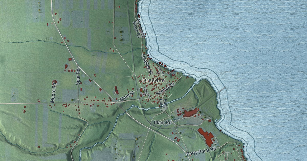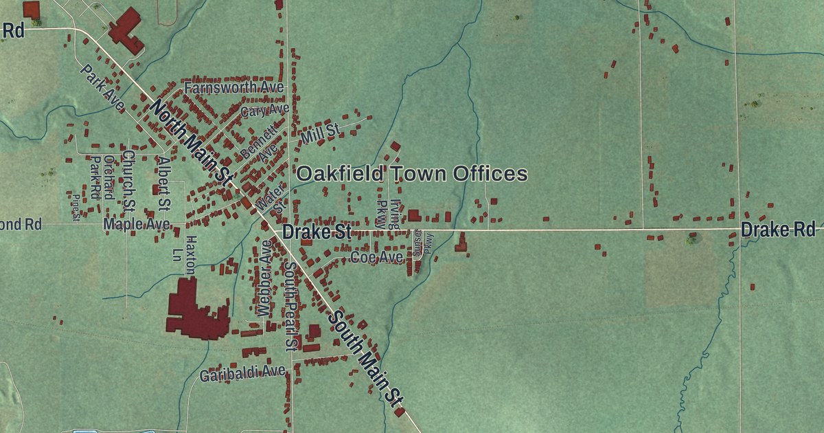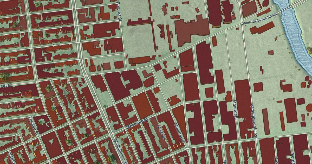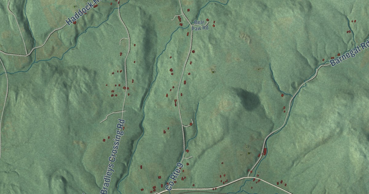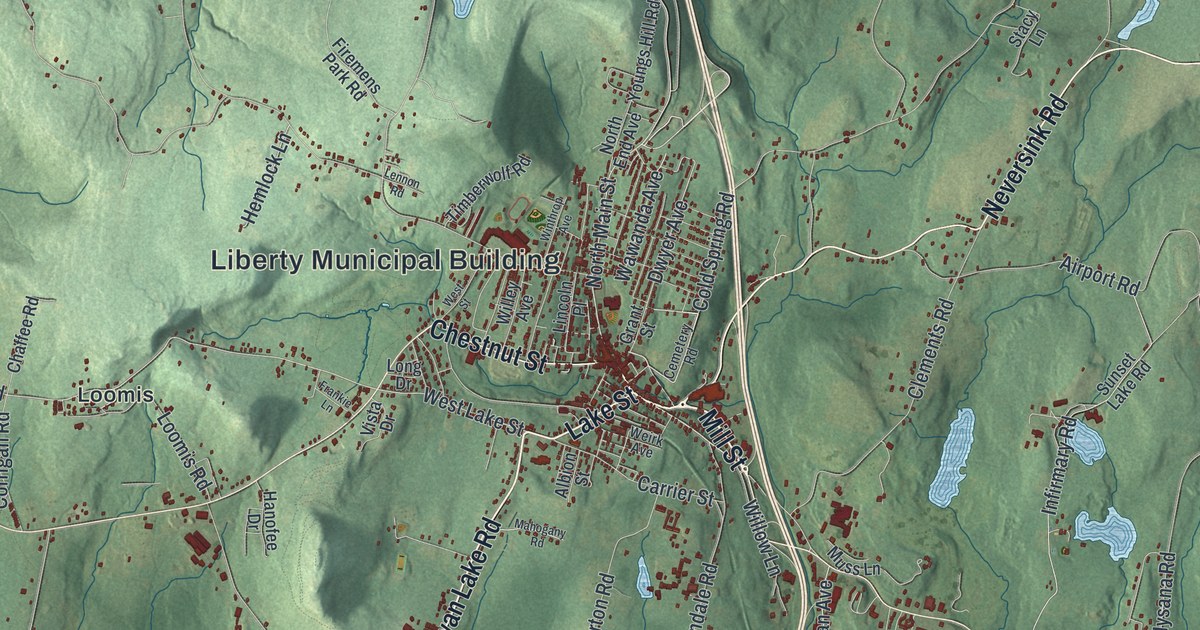
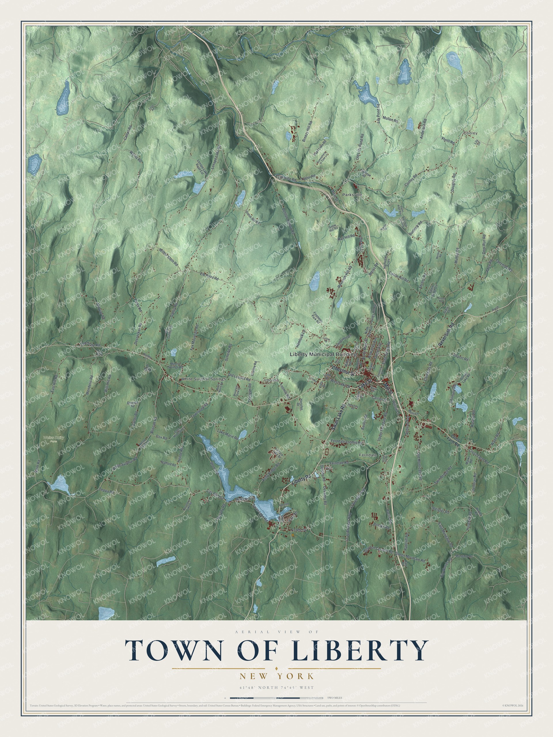
This beautifully detailed map of the Town of Liberty, New York was created in 2026 using aerial imagery combined with modern topographical, census, street and landmark data. It’s a one-of-a-kind view of the Town of Liberty that combines accurate data with a vintage aesthetic. The map shows every building in its true location, many of the roads carry their names, and the shaded topographic relief shows the shape of the land.
Explore an aerial view of the Town of Liberty, New York
On the map you’ll find Liberty Municipal Building, Cooley, Ferndale, Loomis, Parksville, and White Sulphur Springs, along with Swan Lake Road, Mill Street, Neversink Road, Chestnut Street, and more. If you look closely you can even find your house accurately drawn in its correct location. Zoom in on the preview to look for yours.
Did You Know?
Liberty was carved from the large town of Lumberland, and at first it also held today’s Callicoon and Fremont. Its first settlers came from Connecticut and built homes near Revonah Lake, then called Broadhead Pond. Once they cleared the dark hemlock forest, tanneries grew into an early industry that lasted through the Civil War era.
Take a closer look at the Town of Liberty map
Names on this map
These names are printed on this map.
Places: Liberty Municipal Building, Cooley, Weiss Dairy Farm, Ferndale, Loomis, Parksville and White Sulphur Springs.
Streets and roads: Swan Lake Road, Mill Street, Neversink Road, Chestnut Street, Liberty Road, Lake Street, Stanton Corners Road, Devaney Road, County Route 74, North Main Street, Devany Road, Dwyer Avenue.
More street names, A to Z
Aden Road, Ahrens Road, Airport Road, Albion Street, Anderson Road, Baim Road, Barton Road, Beech Lane, Bennett Road, Benton Hollow Road, Big Woods Road, Black Bear Crossing, Boyd Road, Breezy Hill Road, Briscoe Road, Brooks Road, Budnick Road, Carrier Street, Carr Road, Castle Hill Road, Cattail Road, Cemetery Road, Chaffee Road, City Route 142, Clements Road, Cold Spring Road, Cooley Road, Corrigan Road, Cox Road, Cross Farm Road, Cutler Road, Dahlia Road, Deer Run Road, Denman Road, Deppa Road, Dessecker Road, Doughty Road, Eagles Ridge Way, East Hill Road, East Mongaup Road, Elk Point Road, Emerald Lane, Ferndale Loomis Road, Ferndale Road, Firemens Park Road, Fishman Road, Flynn Road, Fox Mountain Road, Frankie Lane, Golub Hill Road, Grant Street, Green Mountain Lane, Hall Hill Road, Hanofee Drive, Harris Road, Hector Farm Lane, Hector Road, Heinle Road, Hemlock Lane, Herner Road, Highview Acres, Horseshoe Lake Road, Huschke Road, Hysana Road, Infirmary Road, Kelly Bridge Road, Lake Marie Road, Leisure Lake Drive, Lenape Lake Road, Lenape Lake Road Extension, Lennon Road, Lily Lane, Lily Pond Road, Lincoln Place, Long Drive, Loomis Road, Lt Brender Highway, Lt Jg Brender Highway, Mahogany Road, Main Street, Marks Road, Martin Road, Menderis Road, Midway Road, Mineral Springs Road, Mongaup Road, Mountain View Lane, Mount Morris Road, Muhlig Road, Mullen Road, Murphy Road, Muss Lane, North End Avenue, Old Lilly Pond Road, Old Loomis Road, Old Monticello Road, Old Route 17, Old State Road, Ole Dahlia Road, Parks Road, Parksville Road, Pearl Lake Road, Pine Boulevard, Post Road, Queen Mountain Road, Radcliff Road, Redwood Lane, Revonah Hill Road, Salem Ridge Circle, Scheibe Road, Shore Road, Silver Lane, Snow Hill Road, Somewhere in Time Lane, Stacy Lane, Stafford Road, Station Hill Road, Steiglitz Road, Sullivan Avenue, Sunset Lake Road, Tanzman Road, Taylor Road, Timberwolf Road, Townsend Road, Treyz Road, Twin Bridge Road, Upper Ferndale Road, Vista Drive, Wade Road, Wards Road, Wawanda Avenue, Weirk Avenue, Weiss Road, Werbin Road, West Lake Street, Weston Way, West Street, White Sulphur Road, Wilbur Klein Road, Willey Avenue, Willi Hill Road, Willow Lane, Winthrop Avenue, Worden Lane, Youngs Hill Road.
See it on a wall
The Liberty map as a framed print. Swipe for more.


This beautifully detailed map of the Town of Liberty makes an attractive addition to your office, library, or den, and it can even be used to teach children the geography and history of the area. It also makes a great gift for someone who left the Town of Liberty and still calls it home. When you’re done exploring, click here to get your copy of the Town of Liberty map.