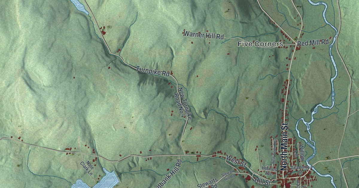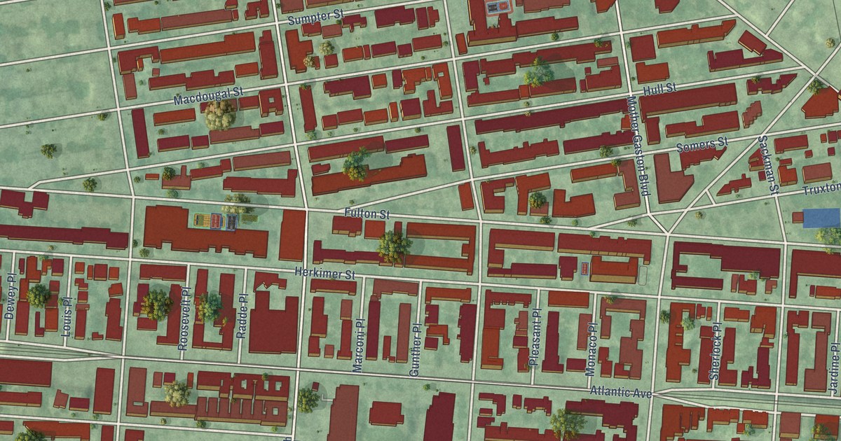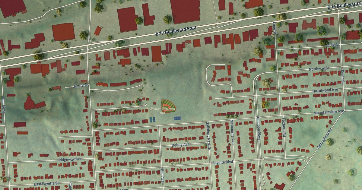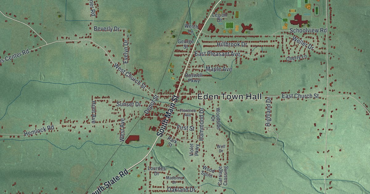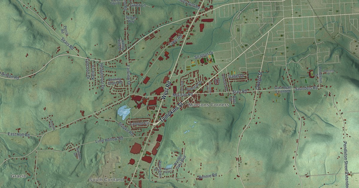
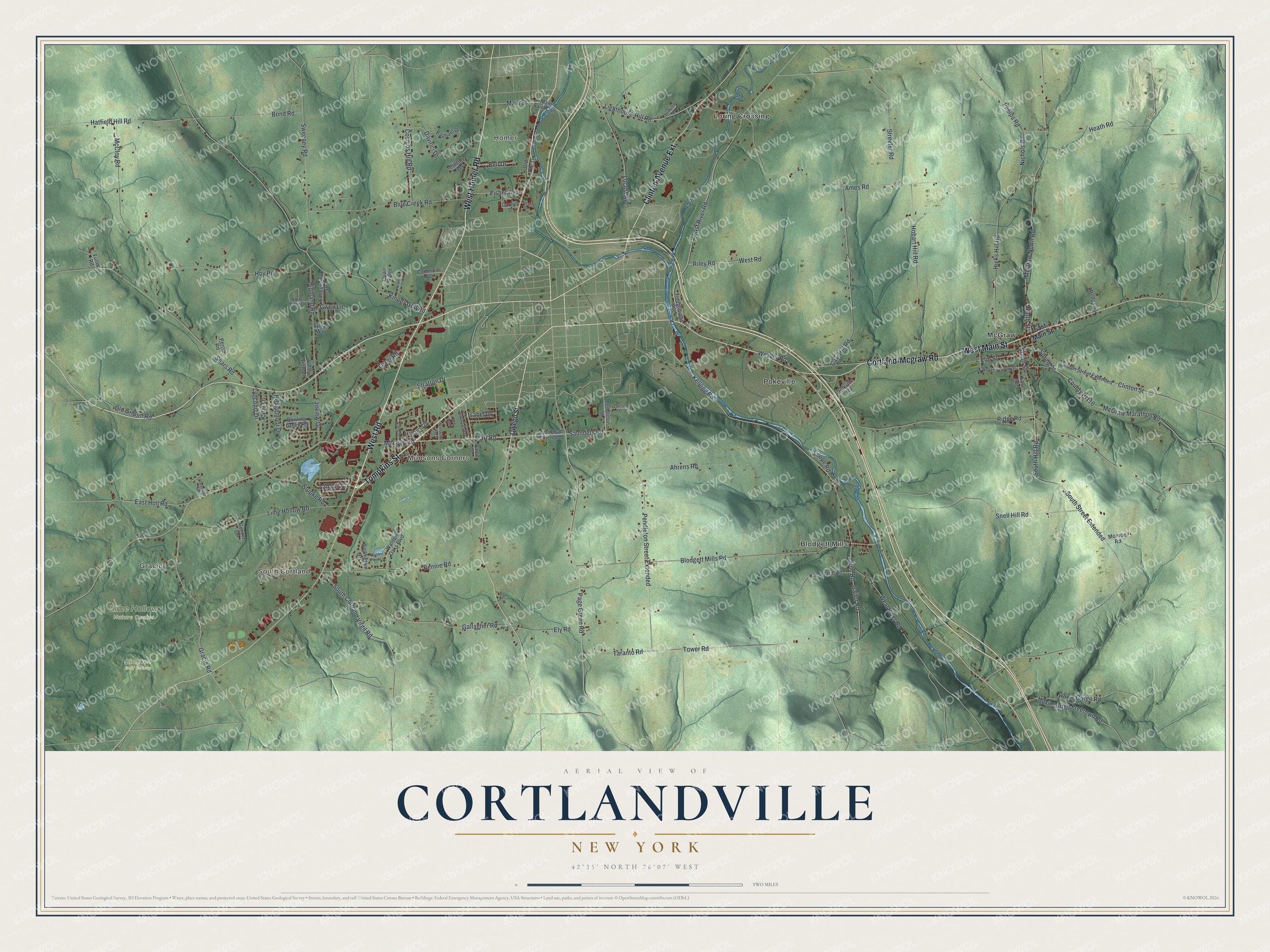
This beautifully detailed map of Cortlandville, New York was created in 2026 using aerial imagery combined with modern topographical, census, street and landmark data. It’s a one-of-a-kind view of Cortlandville that combines accurate data with a vintage aesthetic. The map shows every building in its true location, many of the roads carry their names, and the shaded topographic relief shows the shape of the land.
Explore an aerial view of Cortlandville, New York
On the map you’ll find Gracie, South Cortland, Munsons Corners, Homer, and Blodgett Mills, along with Tompkins Street, West Road, Homer Road, Main Street, Cortland-Mcgraw Road, and more. If you look closely you can even find your house accurately drawn in its correct location. Zoom in on the preview to look for yours.
Take a closer look at the Cortlandville map
Names on this map
These names are printed on this map.
Places: Gracie, South Cortland, Munsons Corners, Homer, Elm Tree Golf Course, Lime Hollow Nature Center, Blodgett Mills, Loring Crossing, McGraw, Pokeville and The Park.
Streets and roads: Tompkins Street, West Road, West Homer Road, West Main Street, Cortland-Mcgraw Road, Clinton Avenue Extension, Page Green Road, Lamont Circle, Saunders Road, Starr Road, South Street, South Hill Road.
More street names, A to Z
Abdallah Avenue, Ahrens Road, Allen Drive, Ames Road, Bell Drive, Bennie Road, Blodgett Mills Road, Blue Creek Road, Bond Road, Bowling Green Road, Carr Hill Road, Carroll Street, Clinton Street, Clinton Street Extended, Clute Road, Collegeview Drive, Commons Avenue, Cosmos Hill Road, County Rt116, Davinci Drive, Deerfield Heights, Demeree Drive, East Avenue, East Holl Road, East Main Street, East River Road, Elm Street, Ely Road, Fairview Drive, Fisher Avenue, Fuller Road, Gailor Road, Gallagher Road, Glenwood Avenue, Gracie Road, Gunzen Drive, Gwen Lane, Halstead Drive, Hatfield Hill Road, Heath Road, Hedgemoor Drive, Hicks Hill Road, Highland Road, Hillside Drive, Hobart Hill Road, Hoxie Gorge Freetown Road, Hoxie Gorge Road, Hoy Road, Isabel Drive, Katie Lane, Kellogg Road, Kinney Gulf Road, Kinney Hill Road, Lighthouse Hill Road, Lime Hollow Road, Locust Avenue, Loope Road, Luker Road, Lyncourt Drive, Main Saint Con, Main Street, McCloy Road, McGraw Marathon Road, McGraw North Road, McLean Road, Monroe Road, Nichols Road, North Street, Oakcrest Street, Old Groton Road, Old Route 11, Owego Street, Parti Drive, Pendleton Street, Pendleton Street Extended, Perris Road, Phelps Road, Polkville Road, Quail Ridge, Raphael Drive, Ridge Road, Riley Road, Sears Road, Snell Hill Road, South Cortland Virgil Road, South Street Extended, Spring Street, Starr Road Extended, Stratton Drive, Streeter Road, Stupke Road, Sweeney Road, Sylvan Way, Taranto Road, Tioughnioga Avenue, Tower Road, Traction Drive, Valley View Drive, Walden Oaks Boulevard, Walden Pond Lane, Weaver Road, Wedge Road, Wellington Drive, West Academy Street, Westmore Lane, West River Road, Woods Edge Drive.
See it on a wall
The Cortlandville map as a framed print. Swipe for more.


This beautifully detailed map of Cortlandville makes an attractive addition to your office, library, or den, and it can even be used to teach children the geography and history of the area. It also makes a great gift for anyone who grew up in Cortlandville or moved away. When you’re done exploring, click here to get your copy of the Cortlandville map.