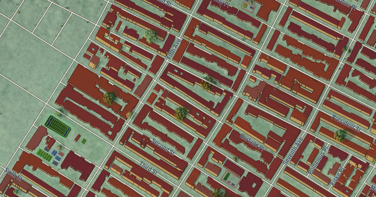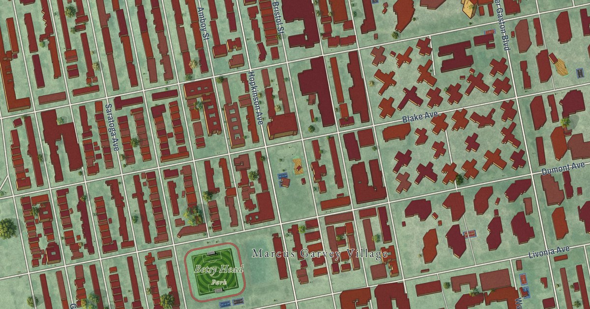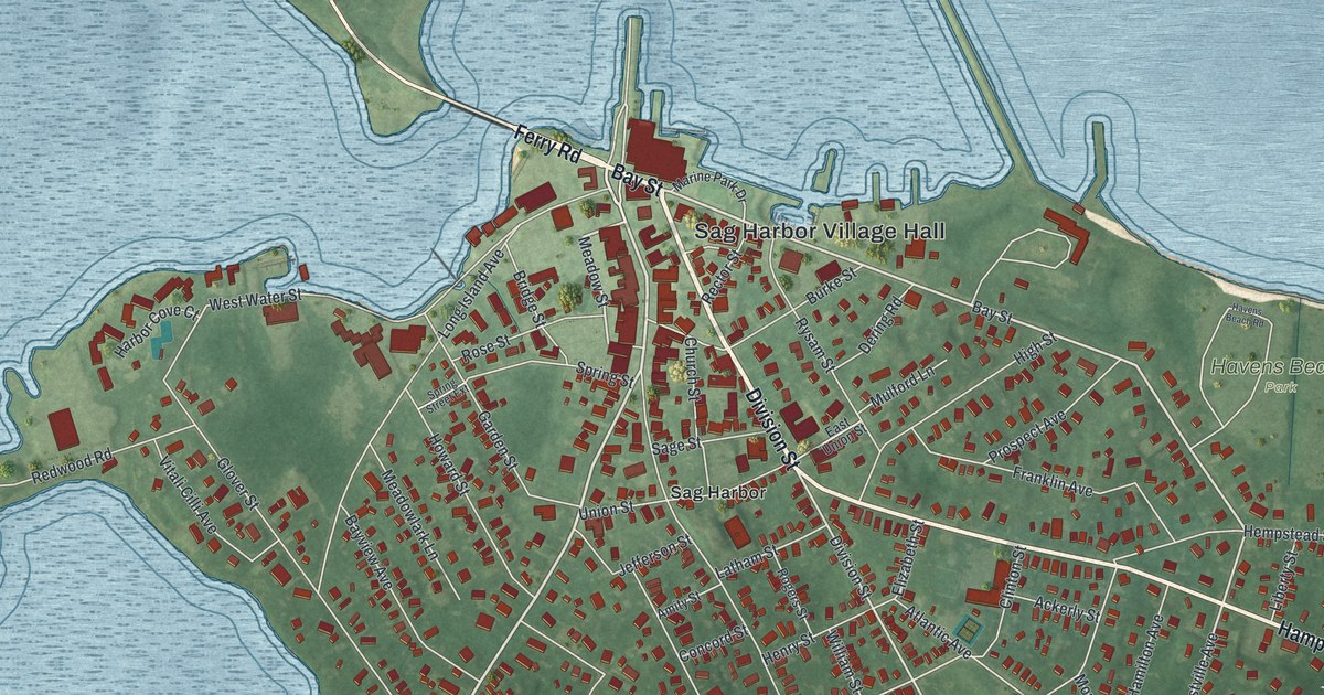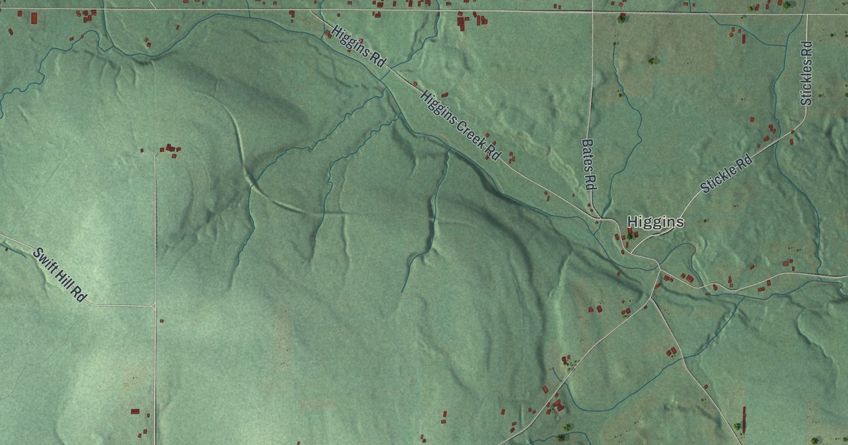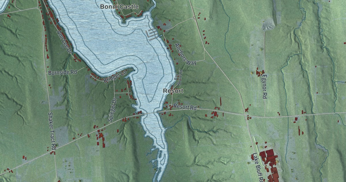
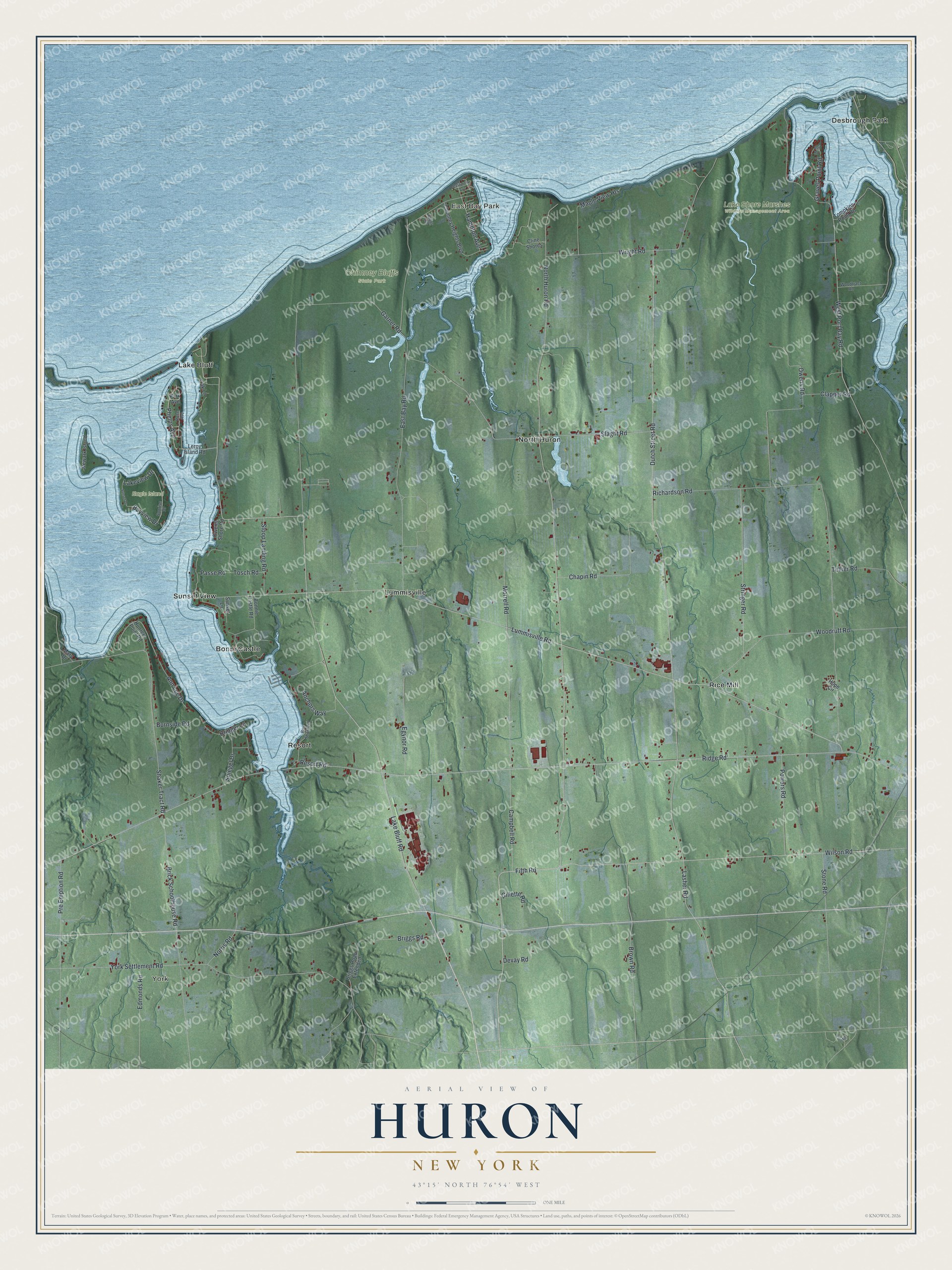
This beautifully detailed map of Huron, New York was created in 2026 using aerial imagery combined with modern topographical, census, street and landmark data. It’s a one-of-a-kind view of Huron that combines accurate data with a vintage aesthetic. The map shows every building in its true location, many of the roads carry their names, and the shaded topographic relief shows the shape of the land.
Explore an aerial view of Huron, New York
On the map you’ll find York, East Bay Park, Bonni Castle, Desbrough Park, Lake Bluff, Chimney Bluffs State Park, and Lake Shore Marshes Wildlife Management Area, along with Fifth Road, Lasher Road, Huron Road, Lummisville Road, Wilson Road, and more. If you look closely you can even find your house accurately drawn in its correct location. Zoom in on the preview to look for yours.
Did You Know?
Huron began in 1826, when it was split from Wolcott and named Port Bay. In 1834 it was renamed to honor the Huron people. From 1826 to 1837, a Shaker community stood partly in town. The Shakers felt Huron had grown too worldly, so they moved away to Groveland.
Take a closer look at the Huron map
Names on this map
These names are printed on this map.
Places: York, East Bay Park, Chimney Bluffs State Park, Eagle Island, Lake Shore Marshes Wildlife Management Area, Bonni Castle, Desbrough Park, Lake Bluff, Lummisville, North Huron, Resort, Rice Mill and Sunset View.
Streets and roads: Fifth Road, Lasher Road, North Huron Road, Lummisville Road, Wilson Road, Lake Bluff Road, Shaker Tract Road, Bayview Drive, Ridge Road, Dutch Street Road, Clapper Road, East Bay Road.
More street names, A to Z
Anchors Way, Ann Lee Drive, Ash Road, Bay Shore Road, Bonnie Castle Road, Brick Schoolhouse Road, Bridger Lane, Briggs Avenue, Briggs Road, Briggs Road Extended, Brown Road, Burnside Road, California Avenue, Campbell Road, Chapin Road, Chimney Heights Boulevard, Cline Shores, Devay Road, Edmonds Road, Egynor Road, Garner Road, Gillette Road, Graves Point Road, Hampton Avenue, Hope Circle, Hunters Point Road, Lakeview Drive, Leroy Island Road, Maple View Heights, Mary Drive, Morrell Road, Newark Island, Norris Road, Oak Lane, Owens Road, Owens Shore Road, Park Avenue, Passe Road, Phelps Avenue, Powers Road, Pre Emption Road, Resort Road, Richardson Road, Rose Avenue, Slaght Road, Sloop Landing Road, Spiegel Drive, Stone Road, Stringer Road, Sunrise Drive, Sunset Drive, Sunset Lane, Tellier Road, Tompkins Point Road, Tosch Road, West Port Bay Road, Woodruff Road, Woodtract Road, Wright Road, York Settlement Road.
See it on a wall
The Huron map as a framed print. Swipe for more.


This beautifully detailed map of Huron makes an attractive addition to your office, library, or den, and it can even be used to teach children the geography and history of the area. It also makes a great gift for anyone who grew up in Huron or moved away. When you’re done exploring, click here to get your copy of the Huron map.