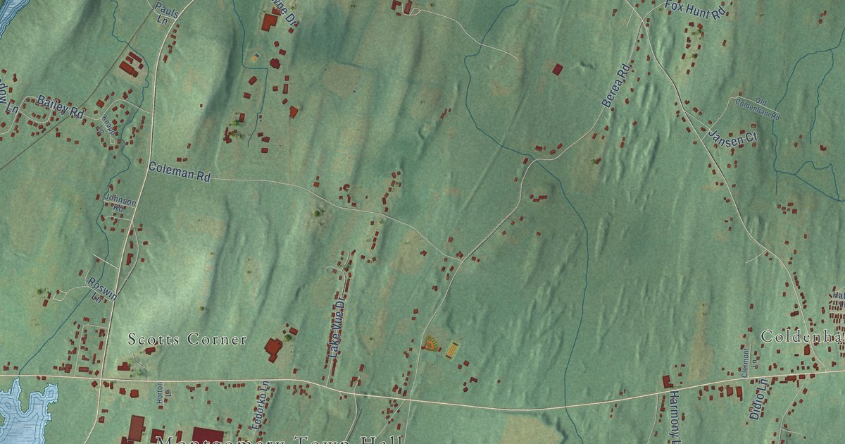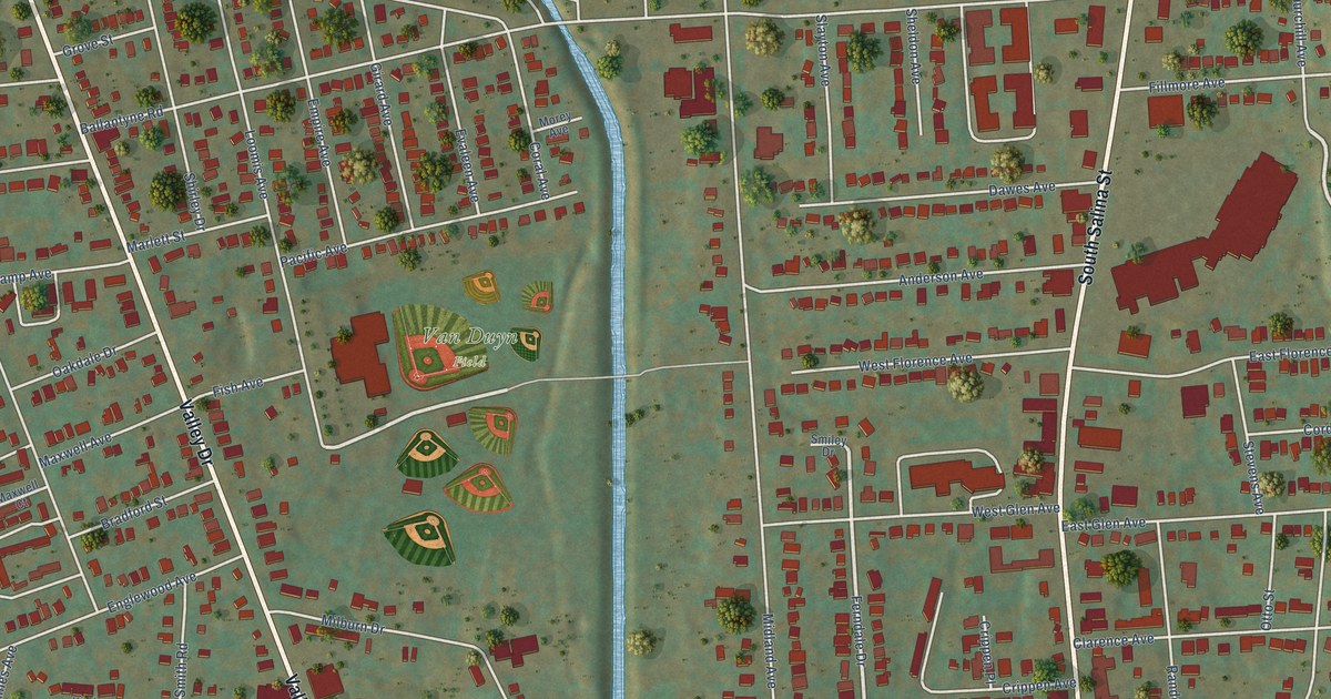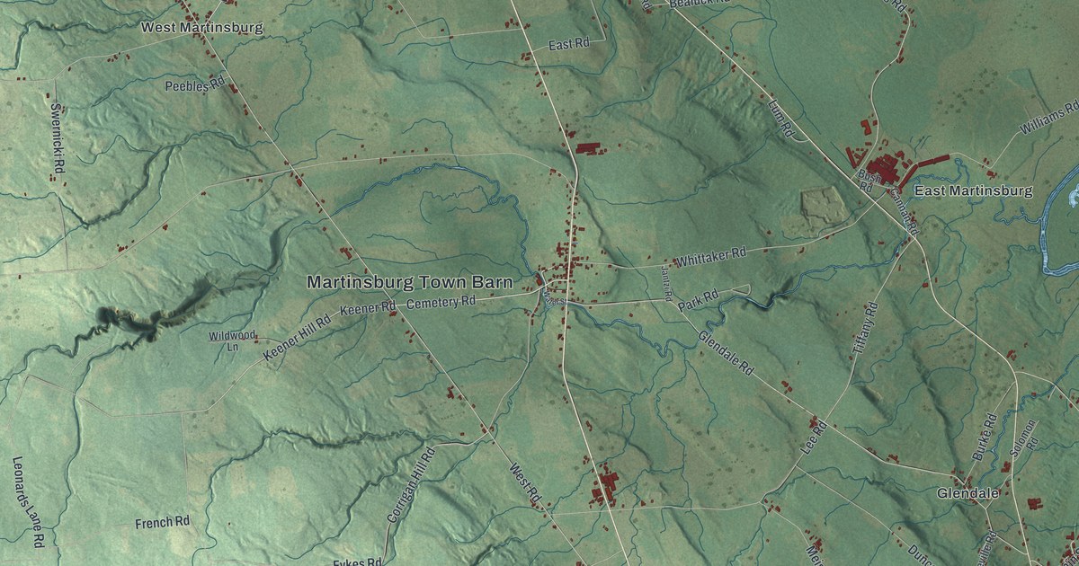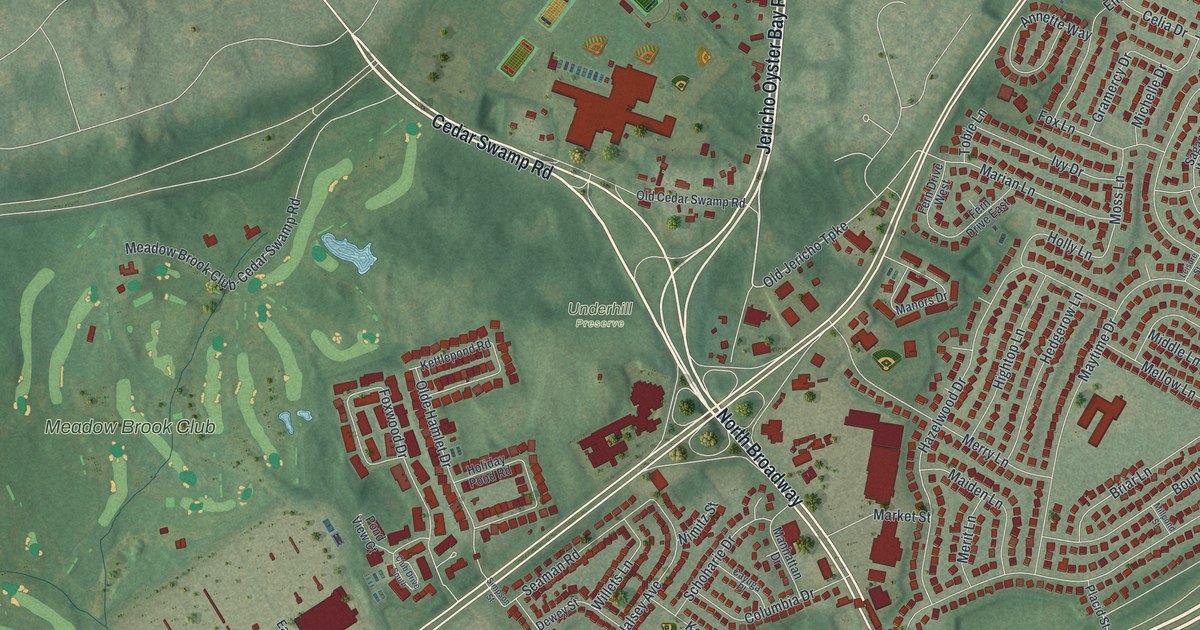
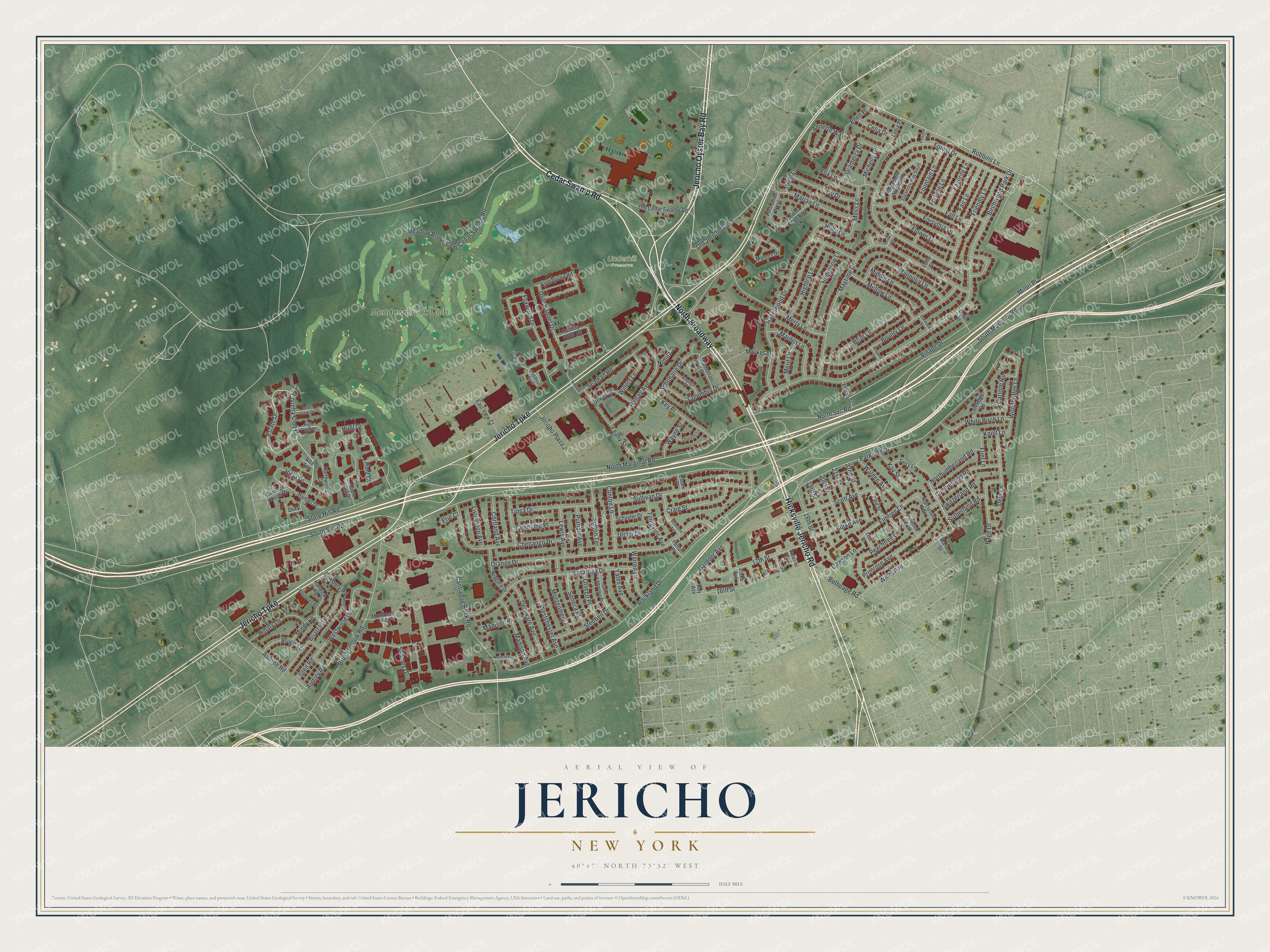
This beautifully detailed map of Jericho, New York was created in 2026 using aerial imagery combined with modern topographical, census, street and landmark data. It’s a one-of-a-kind view of Jericho that combines accurate data with a vintage aesthetic. The map shows every building in its true location, many of the roads carry their names, and the shaded topographic relief shows the shape of the land.
Explore an aerial view of Jericho, New York
On the map you’ll find North Broadway and Underhill Preserve, along with Cedar Swamp Road, Jericho Oyster Bay Road, Hicksville Jericho Road, Jericho Turnpike, and more. If you look closely you can even find your house accurately drawn in its correct location. Zoom in on the preview to look for yours.
Did You Know?
During the Revolution, British troops occupied Long Island, and Jericho’s Quakers suffered for it. They were forced to house soldiers in their homes, yet they held to their peaceful beliefs. After the war the village prospered again. Its Friends Meeting House dates from 1788, and worshipers gather there today.
Take a closer look at the Jericho map
Names on this map
These names are printed on this map.
Places: Underhill Preserve and Meadow Brook Club.
Streets and roads: Cedar Swamp Road, Jericho Oyster Bay Road, Hicksville Jericho Road, Jericho Turnpike, North Broadway, Robbins Lane, Old Jericho Turnpike, Estate Drive, Hunt Drive, Country Club Drive, South Marginal Road, Birchwood Park Drive.
More street names, A to Z
16th Street, 17th Street, 18th Street, 19th Street, 20th Street, 21st Street, 22nd Street, 23rd Street, Aberdeen Road, Aintree Road, Alta Terrace, Annette Way, Audrey Road, Bethpage Road, Bounty Lane, Briarcliff Road, Briar Lane, Bruce Lane, Brush Hollow Road, Burke Avenue, Cantiague Rock Road, Carlisle Road, Carriage House Drive, Cayuga Place, Celia Drive, Chemung Place, Chenango Drive, Clinton Lane, Club Drive South, Coleridge Road, Columbia Drive, Cortland Avenue, Craig Street, Cumberland Road, Dawson Lane, Deer Lane, Delaware Avenue, Dewey Street, Doral Court, East View Court, Ellen Place, Elmtree Lane, Erie Court, Essex Place, Fair Lane, Fall Lane, Favorite Lane, Fern Drive East, Fern Drive West, Flint Lane, Flower Lane, Forest Drive, Forsythia Lane, Fortune Lane, Fountain Lane, Fox Lane, Foxwood Drive, Freedom Drive, Friendly Lane, Fulton Place, Gardner Avenue, Glen Road, Golf View Drive, Gramercy Drive, Halsey Avenue, Hamlet Drive, Harwick Road, Hazelwood Drive, Hedgerow Lane, High Pond Drive, Hightop Lane, Hillary Lane, Holiday Pond Road, Holly Lane, Hunt Court, Ivy Drive, Jericho Plaza, Kay Street, Kettlepond Road, Key Place, Knoll Lane, Leahy Street, Leisure Street, Lewis Avenue, Lilac Lane, Livingston Avenue, Lofty Street, Lydia Place, Madison Avenue, Madison Place, Magnolia Lane, Maiden Lane, Manhattan Drive, Manors Drive, Maple Run Drive, Marian Lane, Marion Street, Market Street, Maytime Drive, Meadow Brook Club-Cedar Swamp Road, Mellow Lane, Merit Lane, Merry Lane, Michelle Drive, Middle Lane, Miller Place, Millpond Street, Mindy Lane, Montgomery Place, Montrose Road, Moss Lane, Narcissus Avenue, Neubrech Court, Niagara Drive, Nimitz Street, North Marginal Road, North Svc Road, Northumberland Road, Northwood Court, Oakwood Street, Old Cedar Swamp Road, Olde Hamlet Drive, Open Street, Orange Drive, Orleans Lane, Otsego Place, Page Drive, Parkside Drive, Peachtree Lane, Pinetree Avenue, Placid Street, Pond View Court, Primrose Avenue, Procop Avenue, Putnam Avenue, Richard Avenue, Richmond Avenue, Rockland Drive, Roxbury Road, Roy Avenue, Sagamore Way North, Sagamore Way South, Saint Lawrence Place, Saratoga Drive, Schoharie Drive, Schuyler Drive, Scott Avenue, Seaman Road, Seneca Place, Shames Drive, Simpson Street, South Svc Road, Steuben Drive, Store Hill Road, Sullivan Drive, Sutherland Road, Sutton Terrace, Switzerland Road, Terry Lane, Tioga Drive, Tobie Lane, Tompkins Avenue, Ulster Drive, Valerie Avenue, Village Drive, Vista Drive, Walden Avenue, Warren Lane, Wayne Street, Westchester Avenue, Westwood Drive, White Birch Lane, Willet Avenue, Willets Lane, Woodbridge Lane, Yates Avenue, Ziska Avenue.
See it on a wall
The Jericho map as a framed print. Swipe for more.


This beautifully detailed map of Jericho makes an attractive addition to your office, library, or den, and it can even be used to teach children the geography and history of the area. It also makes a great gift for anyone with Jericho roots. When you’re done exploring, click here to get your copy of the Jericho map.