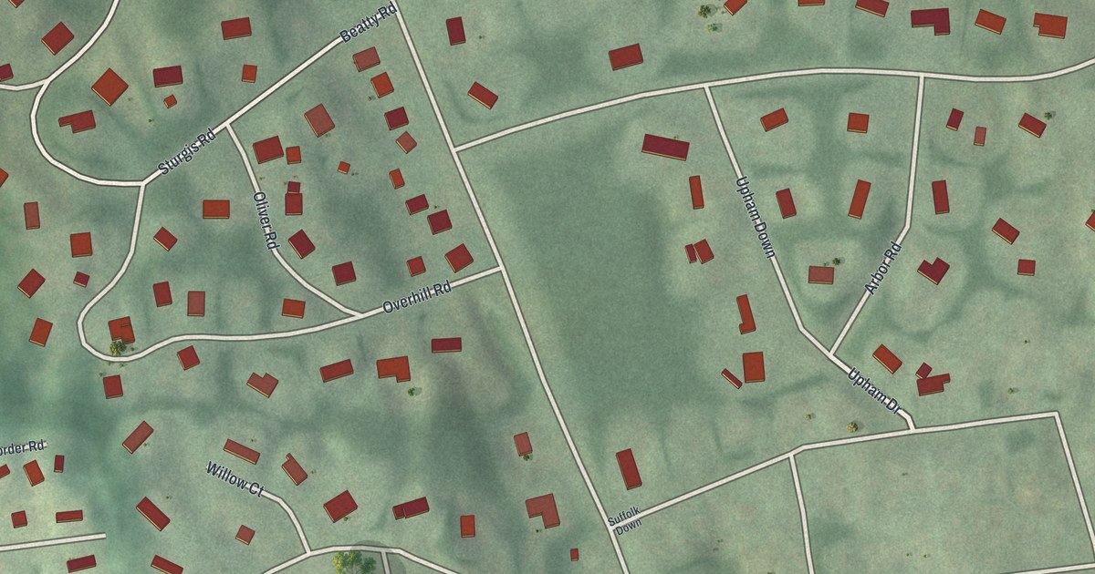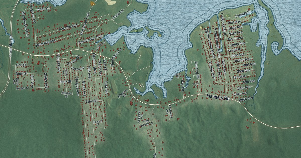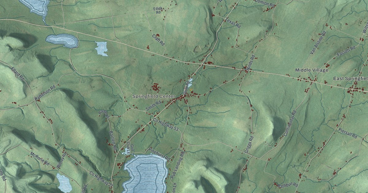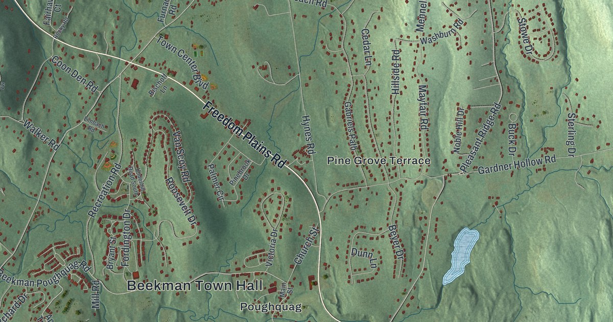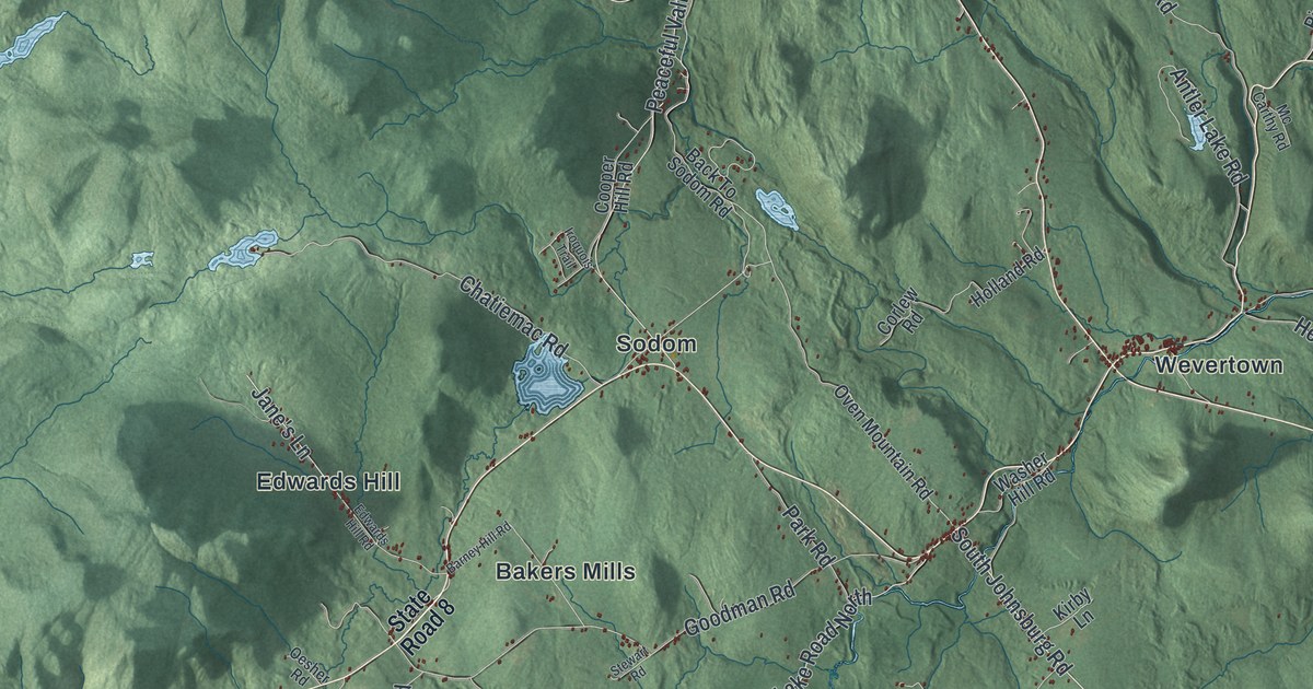
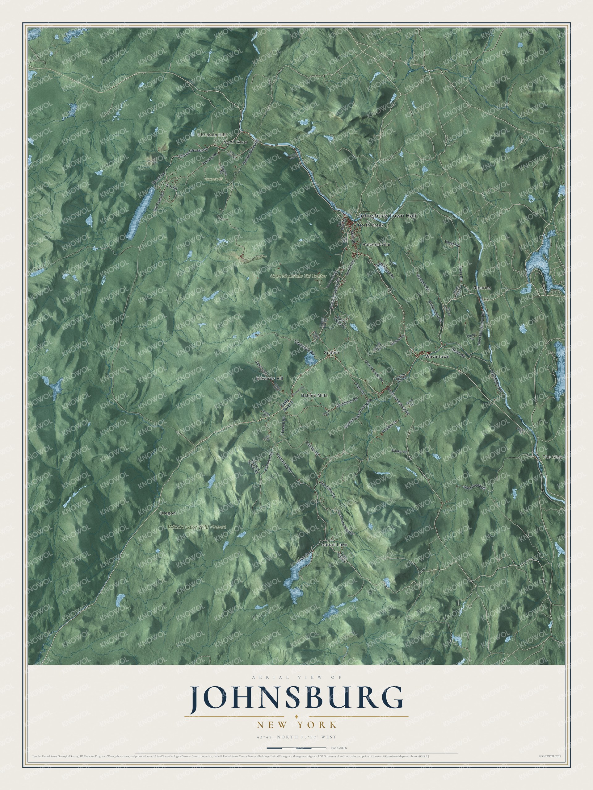
This beautifully detailed map of Johnsburg, New York was created in 2026 using aerial imagery combined with modern topographical, census, street and landmark data. It’s a one-of-a-kind view of Johnsburg that combines accurate data with a vintage aesthetic. The map shows every building in its true location, many of the roads carry their names, and the shaded topographic relief shows the shape of the land.
Explore an aerial view of Johnsburg, New York
On the map you’ll find Johnsburg Town Hall, The Glen, Christian Hill, Bakers Mills, Edwards Hill, Garnet Lake, and Wilcox Lake Wild Forest, along with Garnet Lake Road, Thirteenth Lake Road, Johnsburg Road, Old Farm Road, and more. If you look closely you can even find your house accurately drawn in its correct location. Zoom in on the preview to look for yours.
Did You Know?
Johnsburg is named for John Thurman, an early settler who founded the community. Settlement began around 1788. In 1805 the town was split off from the town of Thurman. Today it covers more land than any other town in Warren County.
Take a closer look at the Johnsburg map
Names on this map
These names are printed on this map.
Places: Johnsburg Town Hall, The Glen, Christian Hill, Garnet Hill, Gore Mountain Ski Center, Wilcox Lake Wild Forest, Bakers Mills, Edwards Hill, Garnet Lake, Holcombville, North Creek, North River, Oregon, Riparius, Sodom and Wevertown.
Streets and roads: Garnet Lake Road North, Thirteenth Lake Road, 4-H Road, South Johnsburg Road, Old Farm Road, Harvey Road, Heath Road, River Road, Barton Mines Road, Glen Creek Road, Peaceful Valley Road, Goodman Road.
More street names, A to Z
Antler Lake Road, Armstrong Road, Austin Pond Road, Back To Sodom Road, Barney Hill Road, Bartman Road, Bartman School Road, Beach Road, Chatiemac Road, Cleveland Road, Colvin Road, Cooper Hill Road, Corlew Road, Coulter Road, Crane Mountain Road, Cross Road, Danker Road, Durkin Road, Edwards Hill Road, Gore Mountain Road, Harrington Road, Holland Road, Hudson Street, Iroquois Trail, Jane's Lane, Kirby Lane, Main Street, Mc Carthy Road, Oesher Road, Ordway Pond Road, Oven Mountain Road, Park Road, Pasco Road, Porter Road, River Road Court, Riverside Station Road, Rogers Road, School House Road, Ski Bowl Road, State Road 8, Stewart Road, The Loop, Thissell Road, Town Section, Vacar Road, Waddell Road, Washer Hill Road.
See it on a wall
The Johnsburg map as a framed print. Swipe for more.


This beautifully detailed map of Johnsburg makes an attractive addition to your office, library, or den, and it can even be used to teach children the geography and history of the area. It also makes a great gift for someone who left Johnsburg and still calls it home. When you’re done exploring, click here to get your copy of the Johnsburg map.