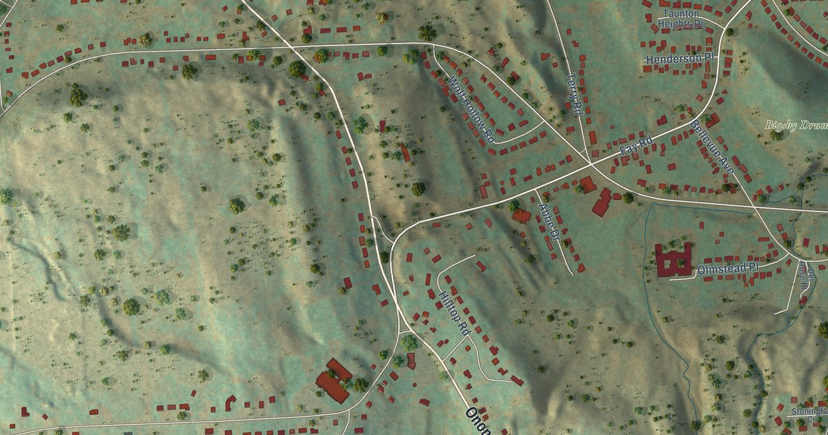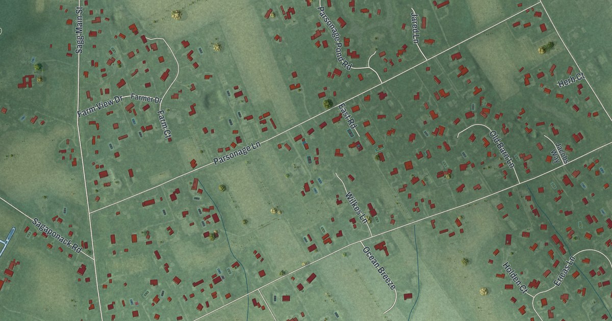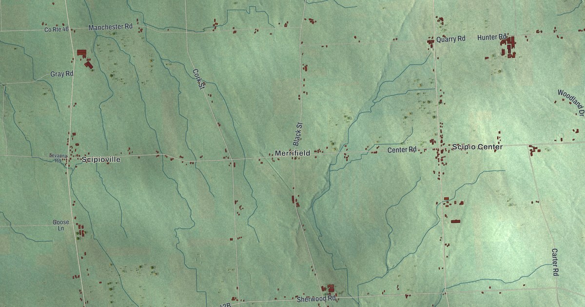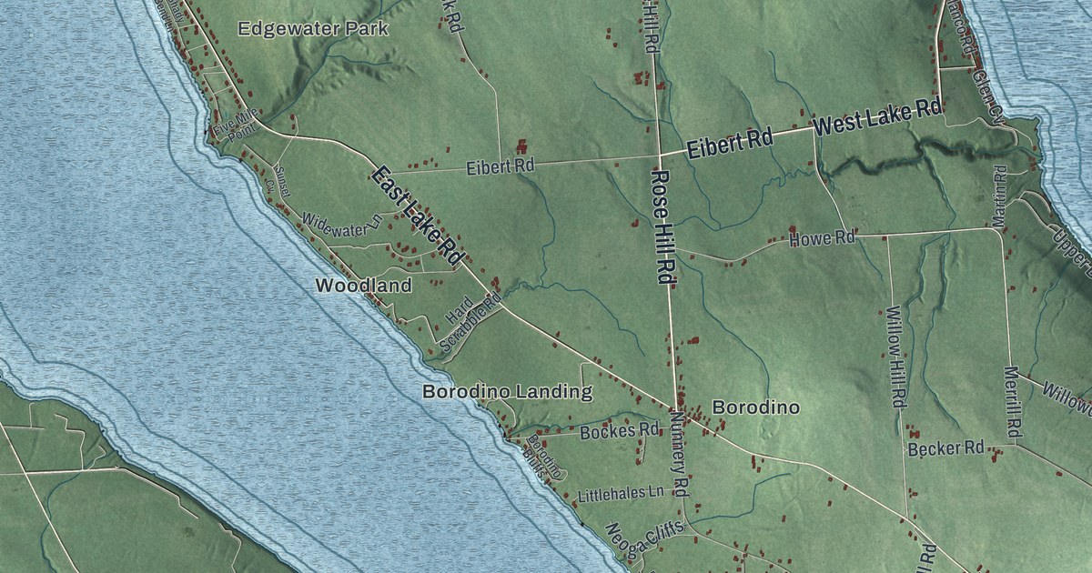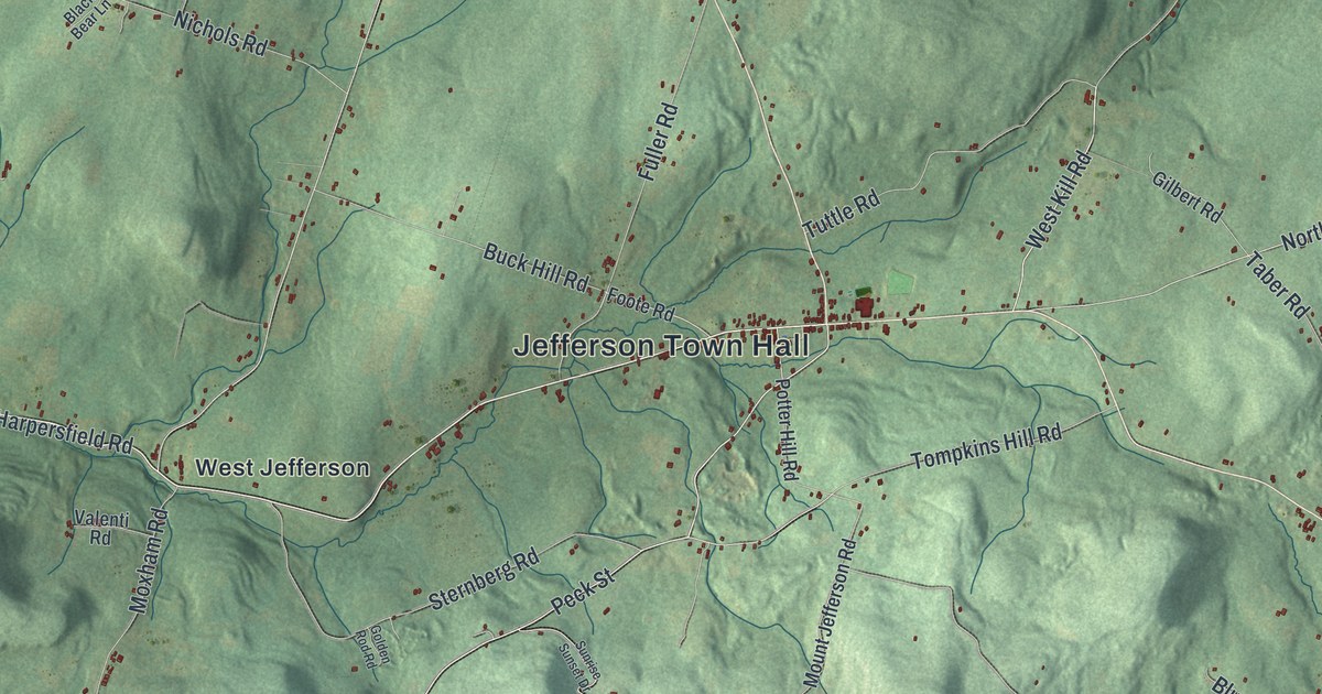
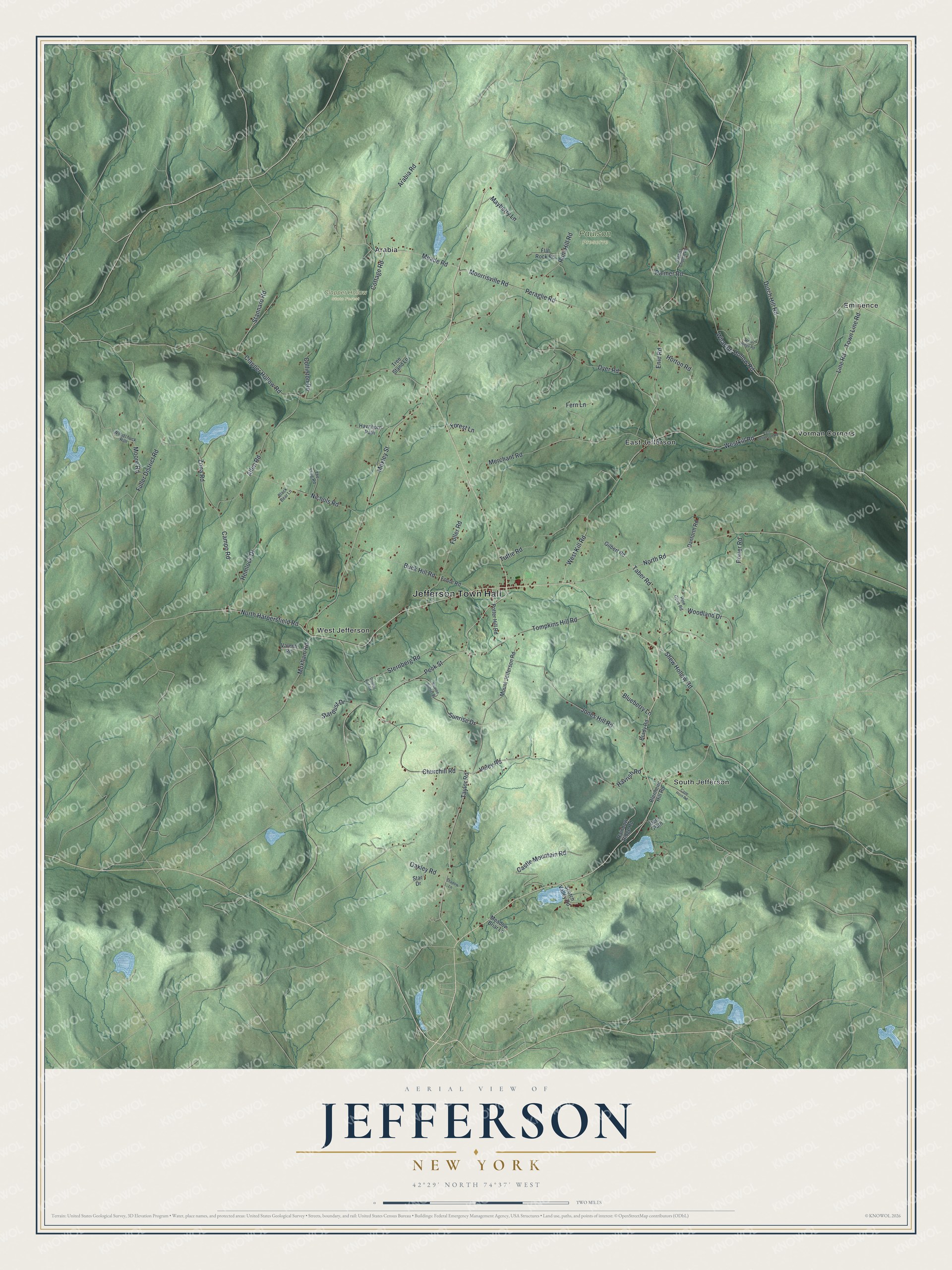
This beautifully detailed map of Jefferson, New York was created in 2026 using aerial imagery combined with modern topographical, census, street and landmark data. It’s a one-of-a-kind view of Jefferson that combines accurate data with a vintage aesthetic. The map shows every building in its true location, many of the roads carry their names, and the shaded topographic relief shows the shape of the land.
Explore an aerial view of Jefferson, New York
On the map you’ll find Jefferson Town Hall, Arabia, East Jefferson, Eminence, South Jefferson, Vorman Corners, Clapper Hollow State Forest, and Paulson Preserve, along with Taylor Road, Veley Road, Harpersfield Road, Allen Road, and more. If you look closely you can even find your house accurately drawn in its correct location. Zoom in on the preview to look for yours.
Did You Know?
New England families settled Jefferson in 1793 and 1794. Years later a western village of the same name asked to have this village and post office renamed, since mail kept going to the wrong office. Jefferson answered with a petition and a map showing itself as a sizable city with a large park. Washington ruled for Jefferson. That’s from the 1882 History of Schoharie County, New York, 1713-1882.
Take a closer look at the Jefferson map
Names on this map
These names are printed on this map.
Places: Jefferson Town Hall, Clapper Hollow State Forest, Paulson Preserve, Arabia, East Jefferson, Eminence, South Jefferson, Vorman Corners and West Jefferson.
Streets and roads: Taylor Road, Veley Road, North Harpersfield Road, Allen Road, Stannard Road, Peck Street, West Kill Road, Line Road, Town Line Road, Meade Road, Fuller District Road, Westkill Road.
More street names, A to Z
Arabia Road, Baptist Church Road, Black Bear Lane, Blenheim Hill Road, Blueberry Lane, Brady Road, Buck Hill Road, Campo Road, Cape Horn Road, Castle Mountain Road, Churchill Road, Clapper Hollow Road, Collinton Road, Cottage Road, Danforth Road, Deer Path, Dutch Hill Road, Dyer Road, East Jefferson Road, Enid Road, Fern Lane, Flat Rock Road, Foote Road, Forest Lane, Fuller Road, Gilbert Road, Golden Rod Road, Havrish Road, Hawthorn Path, Hemlock Drive, Horton Road, Jones Hill Road, Mayberry Lane, Meadow Briar Lane, Merchant Road, Moore Road, Moorrisville Road, Mount Jefferson Road, Moxham Road, Moxley Street, Nichols Road, North Road, Oakley Road, Palmer Road, Peraglie Road, Pine Gove Road, Porter Road, Potter Hill Road, Rainbow Ridge Road, Rebel Ridge Road, Rum Hill Road, Scotch Valley Road, Shadow Lane, Shew Hollow Road, Star Drive, Stardust Drive, Sternberg Road, Sunrise Drive, Sunrise Sunset Drive, Taber Road, The Long Road, Tompkins Hill Road, Tree Stand Lane, Tuttle Road, Valenti Road, Wharton Hollow Road, Woodchuck Run, Woodland Drive, Zona Road.
See it on a wall
The Jefferson map as a framed print. Swipe for more.


This beautifully detailed map of Jefferson makes an attractive addition to your office, library, or den, and it can even be used to teach children the geography and history of the area. It also makes a great gift for anyone who grew up in Jefferson or moved away. When you’re done exploring, click here to get your copy of the Jefferson map.