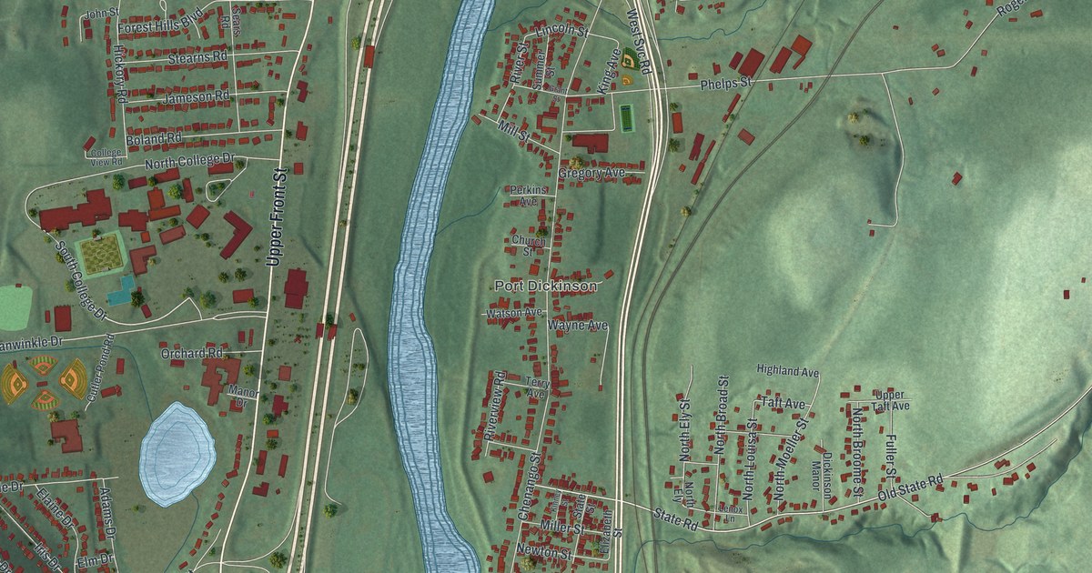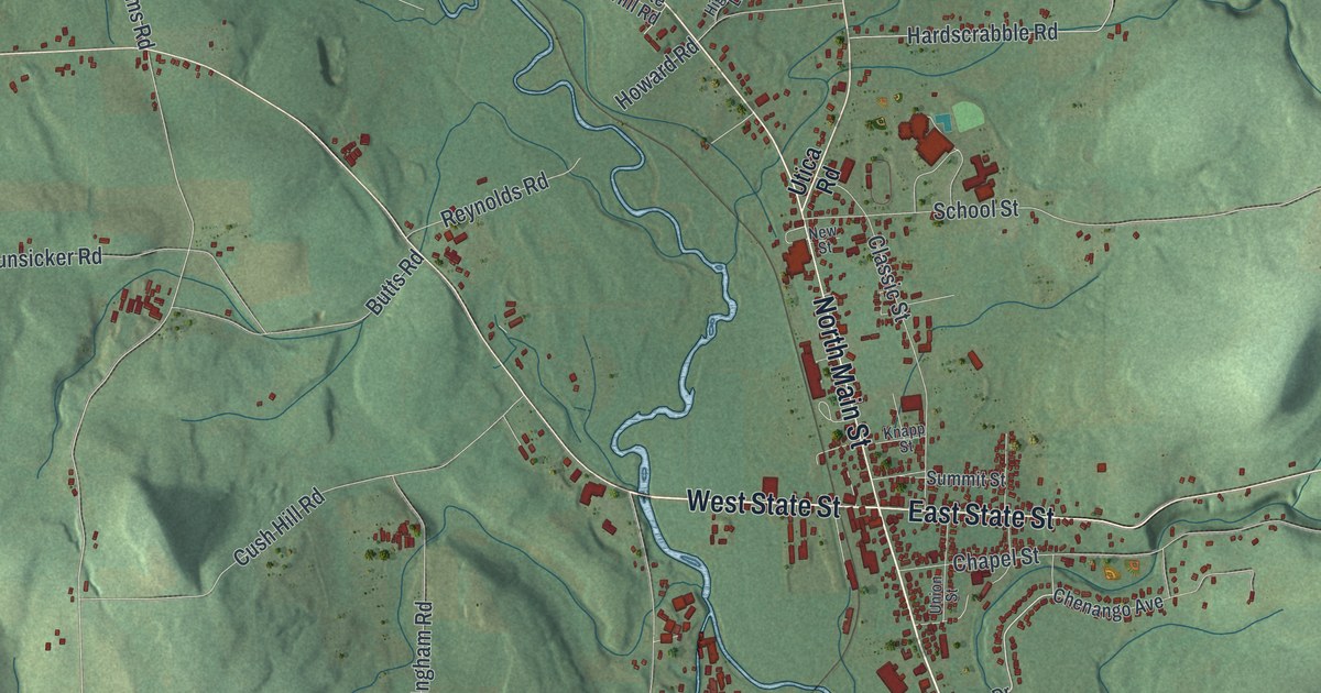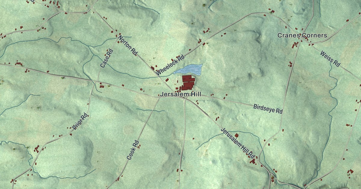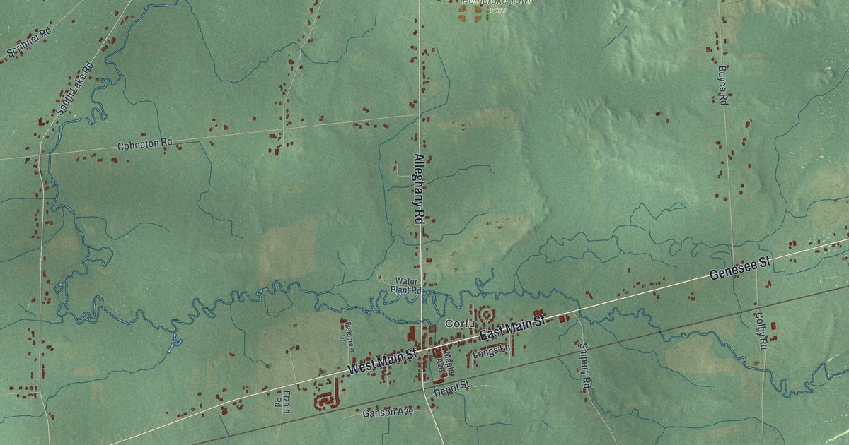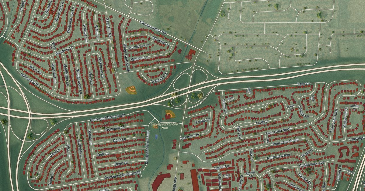
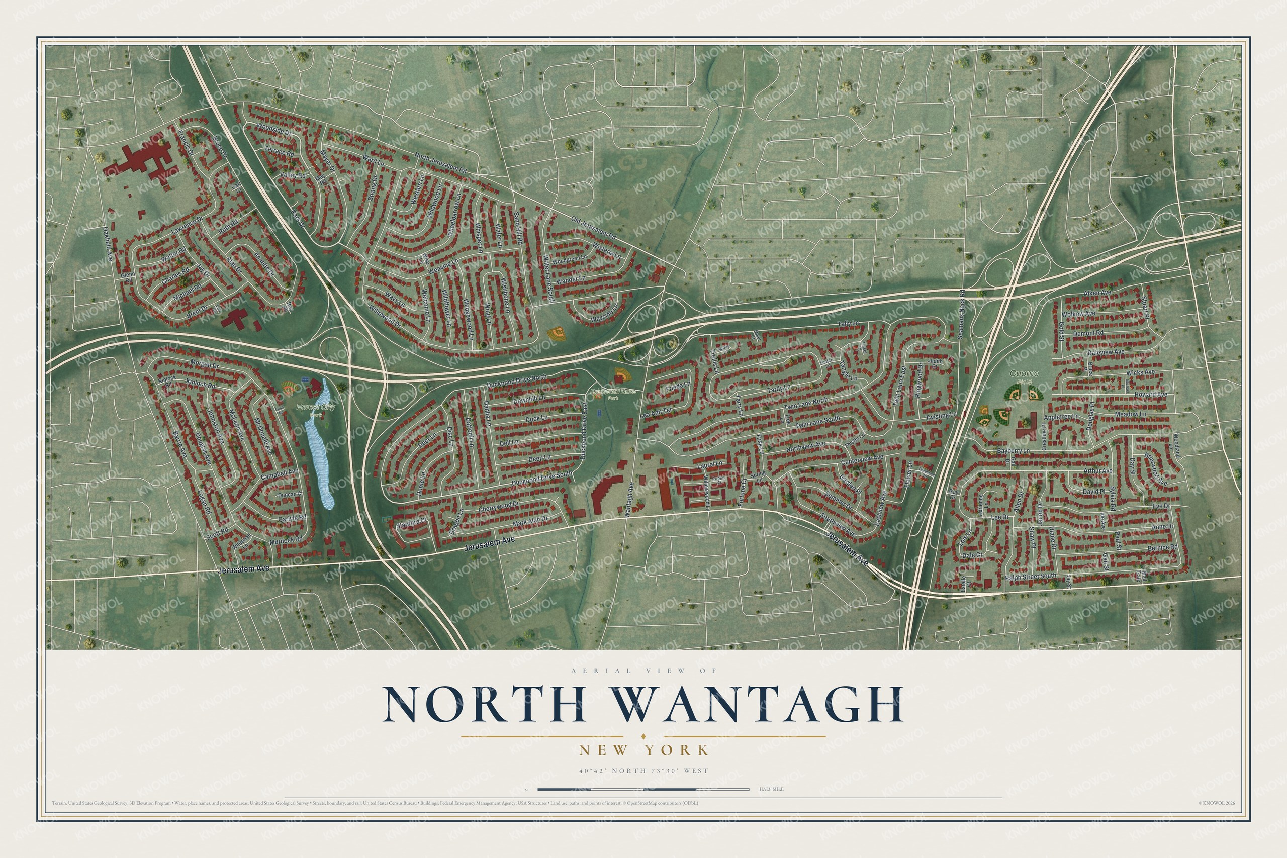
This beautifully detailed map of North Wantagh, New York was created in 2026 using aerial imagery combined with modern topographical, census, street and landmark data. It's a modern aerial view of North Wantagh in Nassau County, New York, that combines modern data with a vintage aesthetic. The roads feature printed names, and if you look closely you can find your exact house accurately shown in its correct location.
Explore an aerial view of North Wantagh, New York
On this map you'll find Cuomo Field, Duckpond Drive Park, Forest City Park, Jerusalem Avenue, Park Drive, Woodside Drive, Lois Lane, Old Jerusalem Road, North Jerusalem Road, Willowood Drive, Oakfield Avenue, Alken Avenue, and more. Each red shape is a building, so zoom in on the preview and look for yours.
North Wantagh is a community in Nassau County. The Census Bureau counted 11,931 people here in 2020. North Wantagh sits about 2 miles south of Levittown, 2 miles northwest of Seaford and 2 miles east of North Merrick. The map prints the town name in its title panel, with the coordinates below it.
Take a closer look at the North Wantagh map
Names on this map
These names are printed on this map.
Places: Cuomo Field, Duckpond Drive Park and Forest City Park.
Streets and roads: Jerusalem Avenue, Park Drive, Woodside Drive, Lois Lane, Duckpond Drive South, Old Jerusalem Road, North Jerusalem Road, Willowood Drive, Oakfield Avenue, Alken Avenue, Twin Lane North, Tardy Lane.
More street names, A to Z
Adrienne Lane, Alan Drive, Allen Drive, Anne Drive, Annette Drive, Appletree Lane, Arthur Avenue, Barrie Avenue, Bayberry Lane, Bernice Road, Brent Drive, Briarwood Avenue, Bruce Drive, Bruce Place, Campbell Avenue, Carl Court, Carlyle Road, Centerview Avenue, Charles Road, Cherrywood Drive, Crestline Place, Daffodil Lane, Dahlia Lane, Dale Court, Daleview Avenue, David Place, Day Street, Deep Lane, Deer Lane, Dell Lane, Demont Road, Diane Drive, Disc Lane, Dock Lane, Dome Lane, Douglas Avenue, Douglas Place, Downhill Lane, Dragon Lane, Duckpond Drive East, Duckpond Drive North, Duncan Court, Eastview Avenue, Estelle Court, Eve Drive, Flower Lane, Fortune Court, Francis Drive, Frieda Lane, Gail Drive, Gail Street, Garden Place, Glenn Road, Gold Street, Greentree Drive, Guy Drive, Howard Avenue, Ide Avenue, Jacob Drive, Jay Drive, Jay Street, Johnston Avenue, Judith Court, Kinloch Road, Kinlock Road, Laurel Lane, Lawrence Drive, Lea Ann Terrace, Lee Drive, Lee Road, Logan Road, Mark Alan Drive, Mayer Drive, May Road, McDonald Avenue, McLean Avenue, Mead Court, Meadow Lane, Mell Gate, Michael Place, Michael Road, Morgan Drive, Murdock Road, Northview Avenue, Paul Street, Pond Road, Poplar Court, Ralph Street South, Ray Road, Ringwood Drive, Ruth Road, Sand Hill Road, Scott Road, Seamans Neck Road, Shaw Place, Southview Avenue, Spring Lane, Stanford Court, Strang Drive, Stuart Place, Summer Drive, Sylvia Road, Tally Lane, Tangle Lane, Terrace Road, Terry Lane, Thatch Lane, Thistle Lane, Tinsel Court, Tree Lane, Trellis Lane, Tusk Lane, Twin Lane East, Twin Lane South, Twisting Lane, Valley Road, Wafer Lane, Walter Road, Wander Lane, Wantagh Avenue, Ward Lane, Water Lane South, Wavy Lane, Wayside Lane, Weaving Lane, Wedgewood Lane, Welcome Lane, Western Lane, Wheelbarrow Lane, Whisper Lane, Whitehall Lane, Wicks Avenue, Wildflower Lane, Wildwood Lane, Willis Court, Willowwood Lane, Wing Lane, Wishbone Lane, Wisp Lane, Wisteria Lane, Wolkow Avenue, Woodgreen Lane, Woodland Lane.
Created by KNOWOL in 2026. The buildings are small red shapes, the roads carry their printed names, and shaded relief shows the shape of the land. The title panel reads "AERIAL VIEW OF NORTH WANTAGH, NEW YORK" with 40°42' NORTH 73°30' WEST.
It looks right in a kitchen, an office or a den, and it's a gift for anyone who grew up in North Wantagh or moved away. Open the preview and find your street. See sizes and frames for the North Wantagh map.