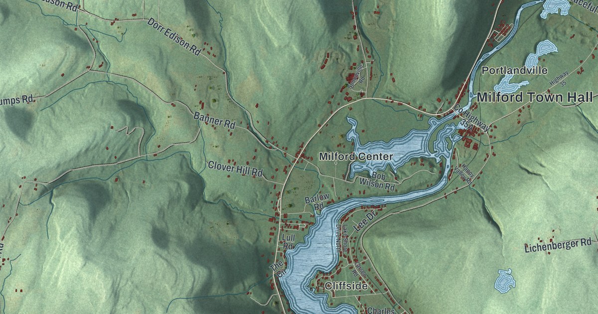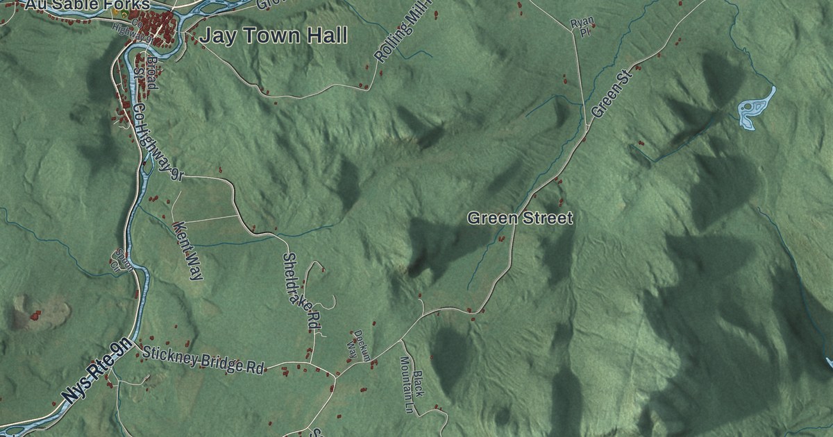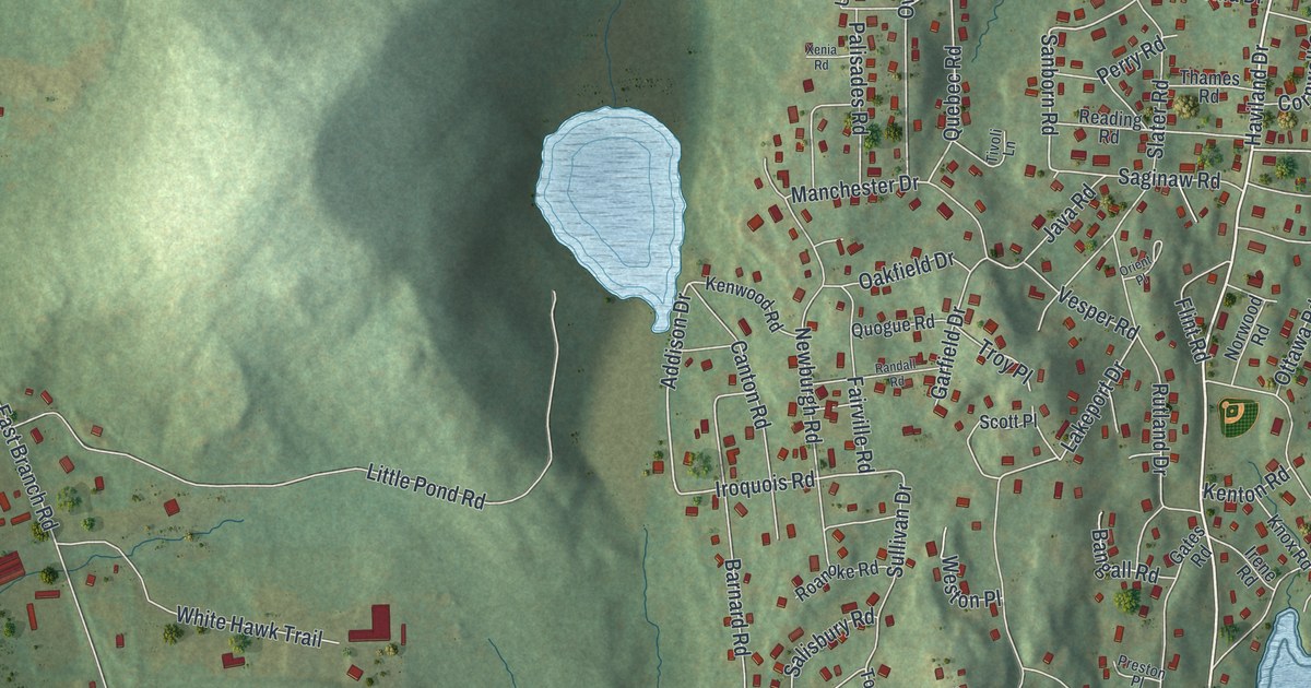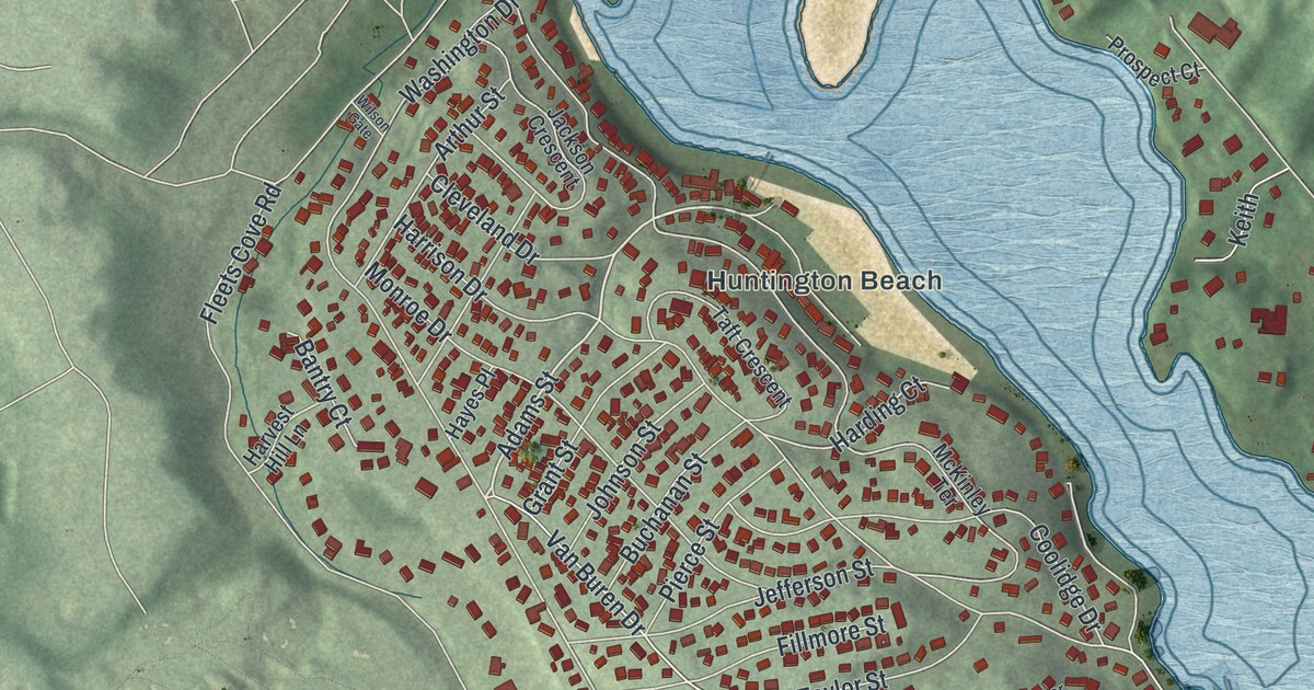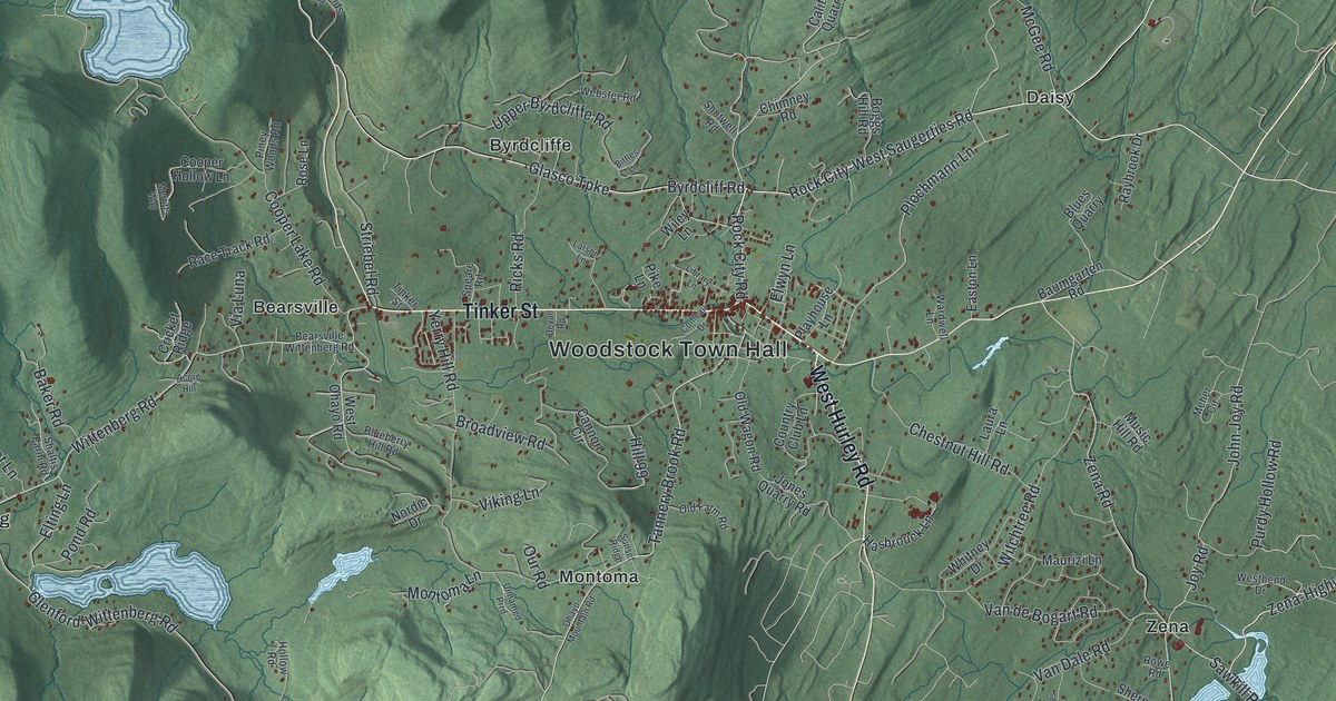
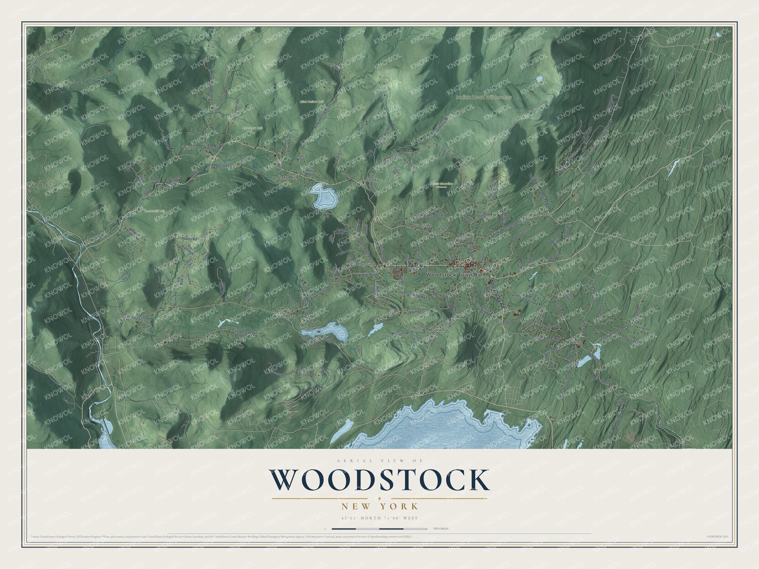
This beautifully detailed map of Woodstock, New York was created in 2026 using aerial imagery combined with modern topographical, census, street and landmark data. It’s a one-of-a-kind view of Woodstock that combines accurate data with a vintage aesthetic. The map shows every building in its true location, many of the roads carry their names, and the shaded topographic relief shows the shape of the land.
Explore an aerial view of Woodstock, New York
On the map you’ll find Woodstock Town Hall, Bearsville, Byrdcliffe, Daisy, Lake Hill, Montoma, and Mount Guardian Preserve, along with Hurley Road, Tinker Street, Glasco Turnpike, Saugerties-Woodstock Road, and more. If you look closely you can even find your house accurately drawn in its correct location. Zoom in on the preview to look for yours.
Did You Know?
The Arts and Crafts Movement reached Woodstock in 1902. That year Ralph Radcliffe Whitehead, Bolton Brown and Hervey White started the Byrdcliffe Colony. In 1906 the Art Students League of New York opened a summer school here. Woodstock has been known as an artists colony ever since.
Take a closer look at the Woodstock map
Names on this map
These names are printed on this map.
Places: Woodstock Town Hall, Beaverkill Unit, Indian Head Wilderness, Mink Hollow Unit, Mount Guardian Preserve, Olderbark Unit, Bearsville, Byrdcliffe, Daisy, Lake Hill, Montoma, Shady, Willow, Wittenberg and Zena.
Streets and roads: West Hurley Road, Tinker Street, Glasco Turnpike, West Saugerties-Woodstock Road, Byrdcliff Road, Church Road, Zena-Highwoods Road, Rock City-West Saugerties Road, Plochmann Lane, Rock City Road, Pitcairn Road, Tannery Brook Road.
More street names, A to Z
Aarons Way, Abbey Road, Acorn Hill, Allen Drive, Ashley Lane, Baker Road, Baumgarten Road, Bearsville Wittenberg Road, Beaver Ridge Road, Bittles Lane, Blueberry Hill Road, Blues Quarry, Boggs Hill Road, Broadview Road, California Quarry Road, Cannon Circle, Carle Road, Chestnut Hill Road, Chimney Road, Cold Brook Road, Comeau Drive, Cooper Hollow Lane, Cooper Lake Road, Country Club Lane, Cricket Ridge, Cross Patch Road, Day Road, Deer Road, Devall Road, Easton Lane, Eastwoods Drive, Eighmey Road, Elting Lane, Elwyn Lane, Erikas Walk, Garrison Road, Glenford-Wittenberg Road, Goat Hill Road, Grog Kill Road, Grogkill Road, Handys Walk, Harmati Lane, Hasbrouck Lane, Hickory Road, Hidden Valley Trail, Hill 99, Hollow Road, Hutchin Hill Road, Jessop Road, Jims Road, John Joy Road, Jones Quarry Road, Jonet Lane, Joy Road, Keefe Hollow Road, Lane Road, Larson Lane, Laura Lane, Lewis Hollow Road, Library Lane, Little Deer Road, Login Road, Louies Way, Louren Court, Macdaniel Road, Mamoud Hills, Maurizi Lane, McGee Road, Meher Circle, Merritts Way, Mink Hollow Road, Montoma Lane, Morey Hill Road, Mount Tobias Road, Music Hill Road, Mystic Road, New Cut Road, Niles Drive, Nordic Drive, Ohayo Mountain Road, Old Farm Road, Old Wagon Road, Ostrander Road, Our Road, Pike Lane, Piney Woods Road, Playhouse Lane, Pond Road, Purdy Hollow Road, Race Track Road, Raybrook Drive, Raycliffe Drive, Reynolds Lane, Ricks Road, Ridgerunner Road, Rose Lane, Rowe Road, Sawkill-Zena Road, Sawkill Road, Shady Lane, Shaltis Farm Road, Sherman Road, Shining Path, Shotwell Road, Sickler Road, Silver Hollow Road, Skye Drive, Speare Road, Stoll Road, Stony Clove Creek, Striebel Road, Sunset Ridge, Swimming Hole Road, Tannis Hollow, The High Road, The Middleway, The Middle Way, Unnamed Prrd, Upper Byrdcliffe Road, Valley View Way, Van Dale Road, Van de Bogart Road, Via Luna, Viking Lane, Walton Road, Wardwell Lane, Watson Woods, Webster Road, Westbend Drive, West Hurley-Zena Road, West Ohayo Road, Whitney Drive, Wiley Lane, Witchtree Road, Wittenberg Road, Woods Road, Yerry Hill Road, Zena Road.
See it on a wall
The Woodstock map as a framed print. Swipe for more.


This beautifully detailed map of Woodstock makes an attractive addition to your office, library, or den, and it can even be used to teach children the geography and history of the area. It also makes a great gift for anyone with Woodstock roots. When you’re done exploring, click here to get your copy of the Woodstock map.