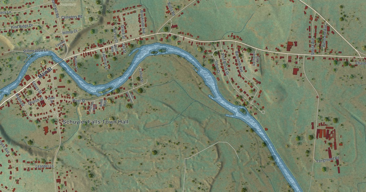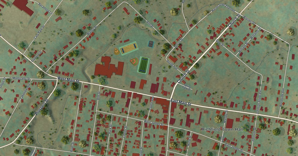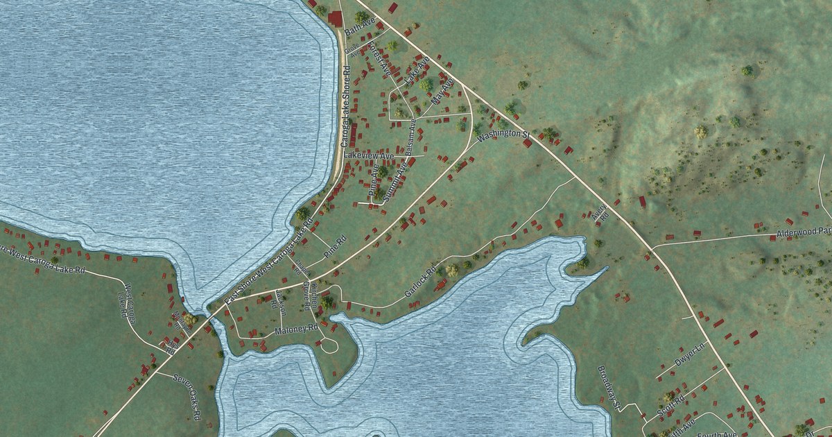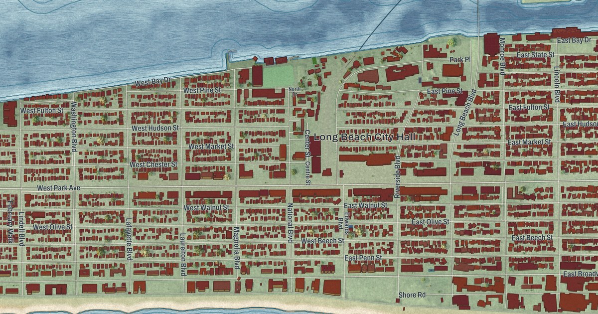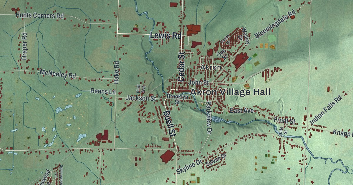
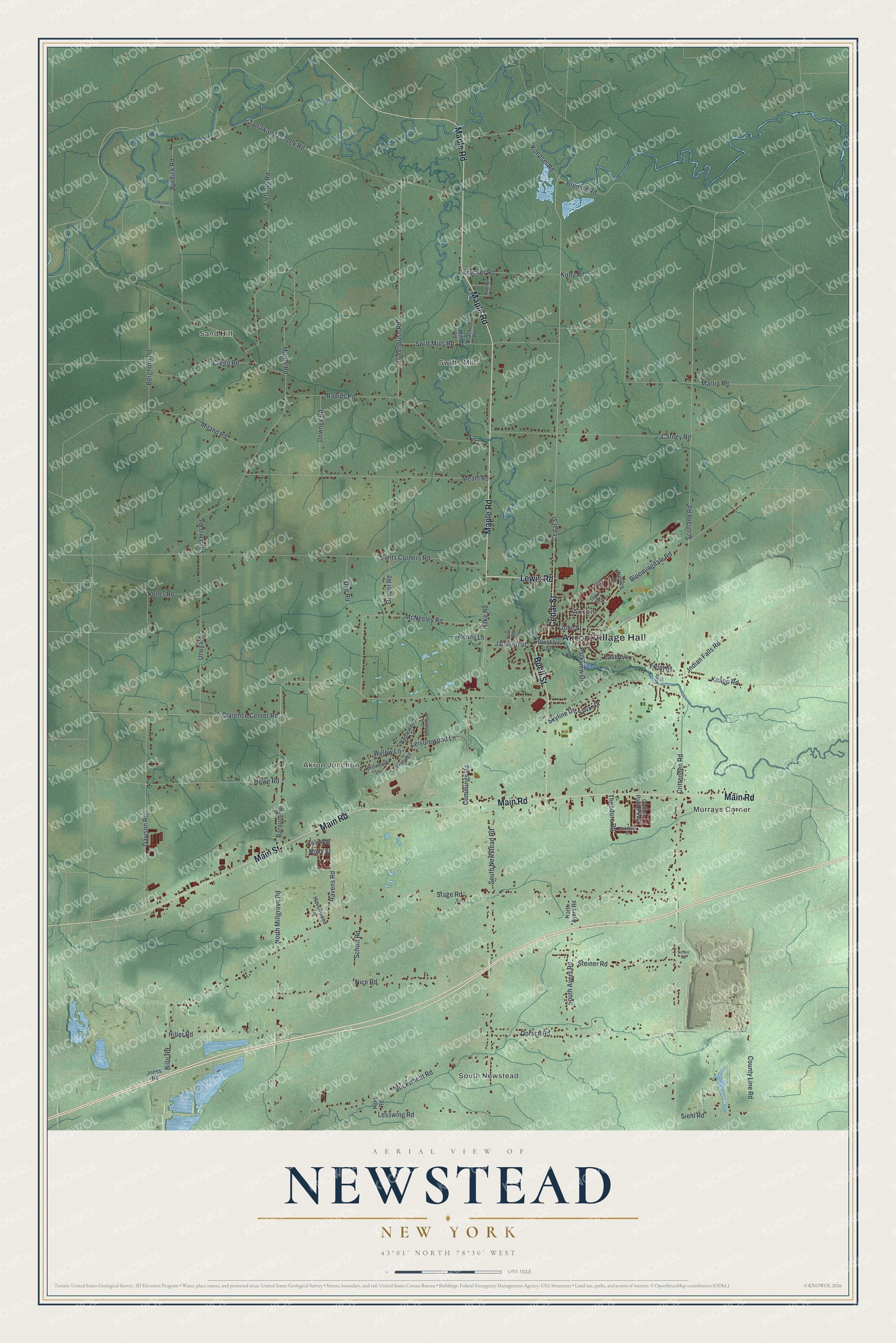
This beautifully detailed map of Newstead, New York was created in 2026 using aerial imagery combined with modern topographical, census, street and landmark data. It’s a one-of-a-kind view of Newstead that combines accurate data with a vintage aesthetic. The map shows every building in its true location, many of the roads carry their names, and the shaded topographic relief shows the shape of the land.
Explore an aerial view of Newstead, New York
On the map you’ll find Akron Village Hall, South Newstead, Murrays Corner, Sand Hill, Swifts Mills, and Akron Junction, along with Cedar Street, Main Street, Lewis Road, Maple Road, and more. If you look closely you can even find your house accurately drawn in its correct location. Zoom in on the preview to look for yours.
Did You Know?
Newstead was formed from Clarence in 1823 under the name Erie. In April 1831 it became Newstead. Millard Fillmore, then the county’s member of the State Assembly, gave the new name. His wife was reading Byron and suggested the poet’s ancient home, Newstead Abbey. That’s from Truman C White’s 1898 Our County and its People.
Take a closer look at the Newstead map
Names on this map
These names are printed on this map.
Places: Akron Village Hall, South Newstead, Murrays Corner, Sand Hill, Swifts Mills, Akron Junction and Akron.
Streets and roads: Cedar Street, Main Street, Lewis Road, Maple Road, Main Road, Buell Street, Bruning Road, Clarence Center Road, Indian Falls Road, Scotland Road, Crittenden Road, County Line Road.
More street names, A to Z
Applewood Lane, Barnum Road, Berghorn Road, Billo Road, Bloomingdale Road, Brackett Road, Brooklyn Street, Brucker Road, Buckwheat Road, Burdick Road, Carney Road, Crego Road, Cummings Road, Danita Drive, Davison Road, Dorsch Road, Downey Road, Draper Road, Dye Road, East Avenue, Fletcher Road, Flint Avenue, Front Street, Golden Pond Parkway, Greenbush Road, Hake Road, Havens Road, Havenwood Drive, Hiller Road, Holly Street, Howe Road, Hunts Corners Road, Jackson Street, John Street, Jones Road, Kathryn Drive, Kelkenberg Road, Keller Road, Kirby Road, Knapp Road, Koepsel Road, Laurel Street, Leisurewood Lane, Lesswing Road, Martin Road, McNeeley Road, Meahl Road, Miland Road, Mill Road, Moore Road, Nice Road, North Ayers Road, North Millgrove Road, Oak Street, Parkview Drive, Pineledge, Pohl Road, Rapids Road, Redwood Lane, Renns Lane, Sand Hill Road, Schurr Road, Schutt Road, Siehl Road, Skyline Drive, South Ayers Road, South Newstead Road, Sprucewood Lane, Stage Road, State Street, Steiner Road, Swift Mills Road, Sylvan Drive, Theodore Road, Tonawanda Creek Road, Utley Road, Wesley Drive, Willow Lane, Woodbine Court.
See it on a wall
The Newstead map as a framed print. Swipe for more.


This beautifully detailed map of Newstead makes an attractive addition to your office, library, or den, and it can even be used to teach children the geography and history of the area. It also makes a great gift for someone who left Newstead and still calls it home. When you’re done exploring, click here to get your copy of the Newstead map.