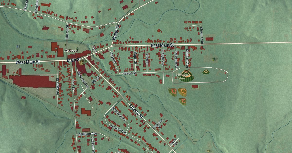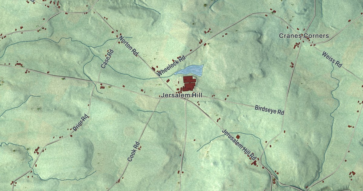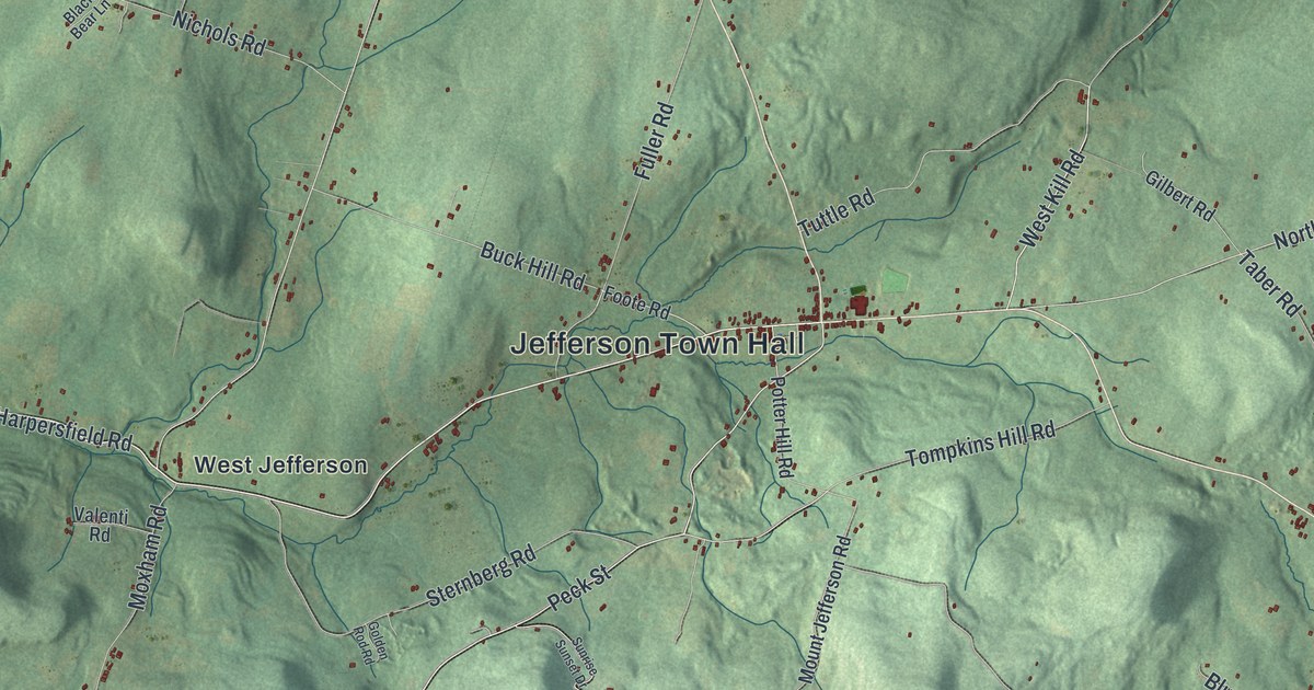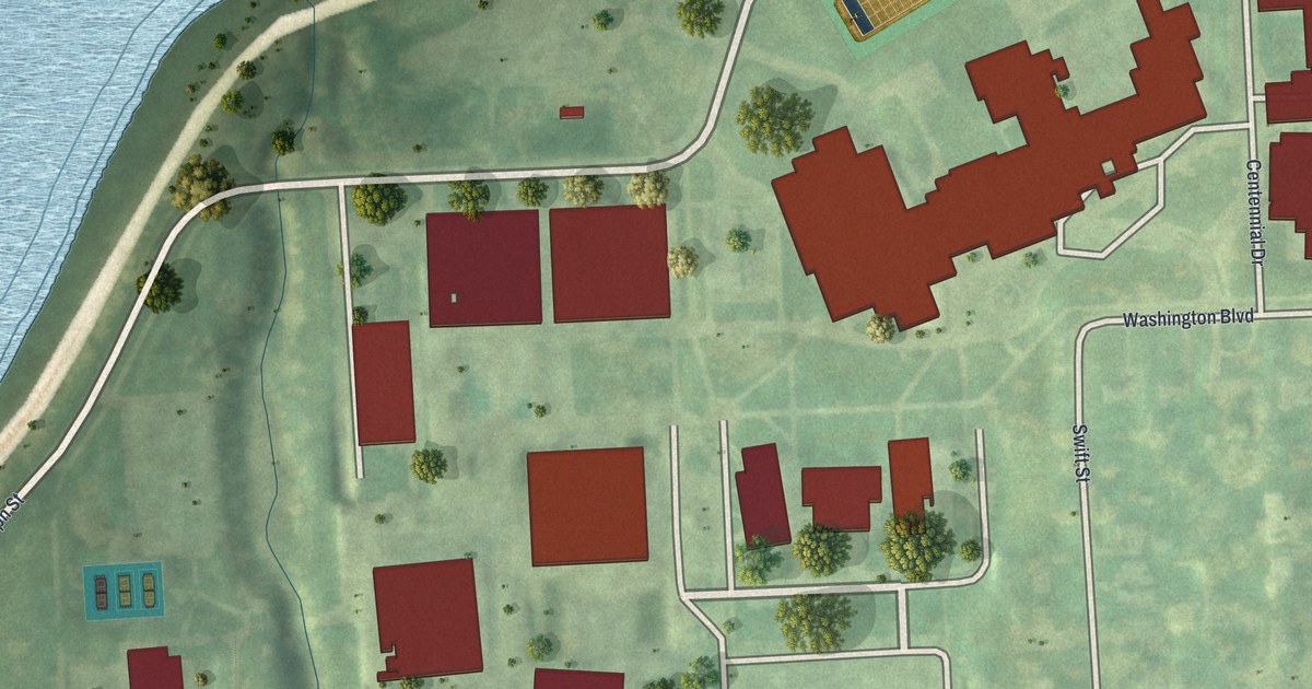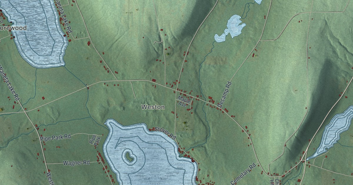
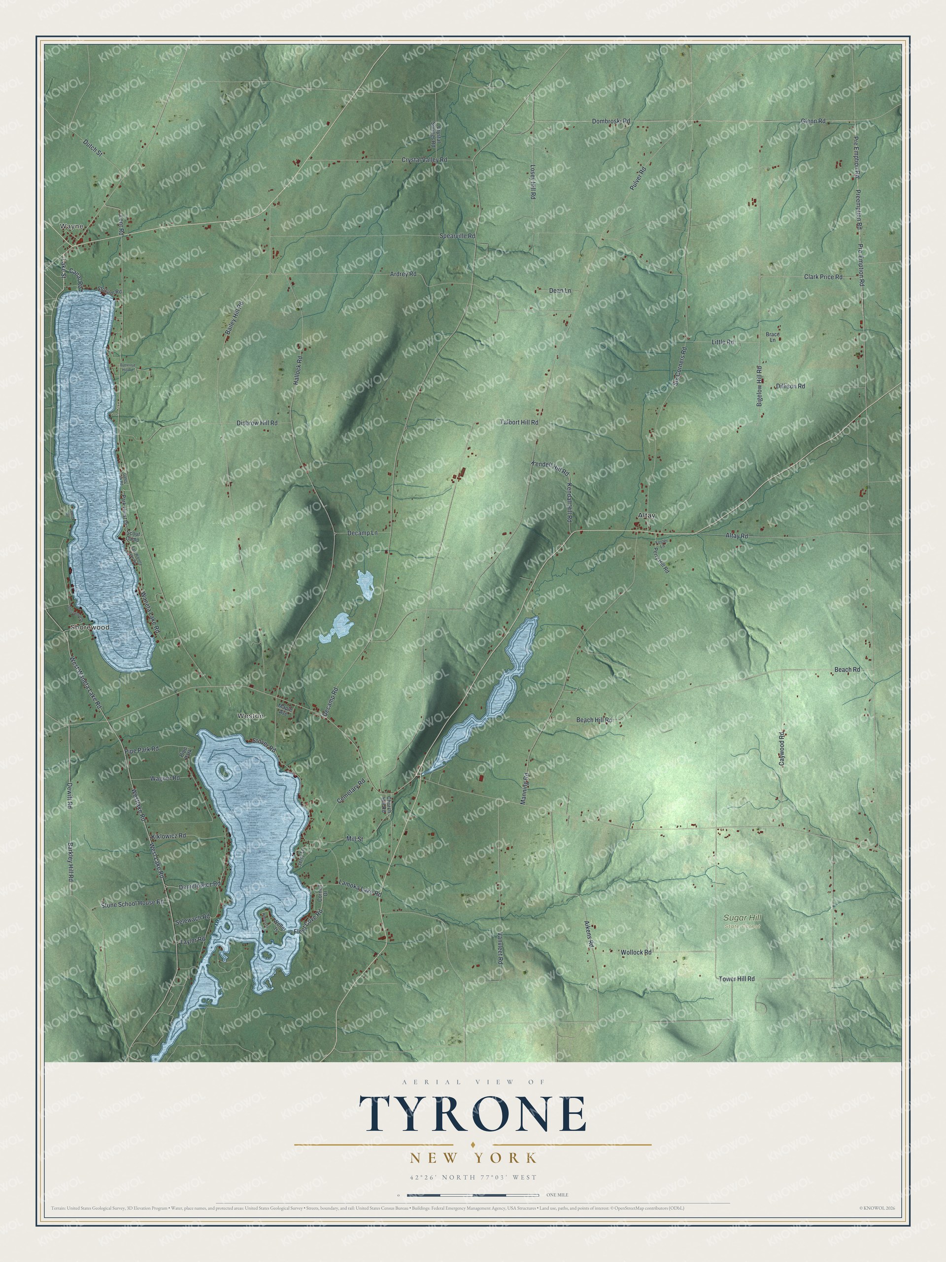
This beautifully detailed map of Tyrone, New York was created in 2026 using aerial imagery combined with modern topographical, census, street and landmark data. It’s a one-of-a-kind view of Tyrone that combines accurate data with a vintage aesthetic. The map shows every building in its true location, many of the roads carry their names, and the shaded topographic relief shows the shape of the land.
Explore an aerial view of Tyrone, New York
On the map you’ll find Wayne, Shorewood, Weston, Altay, and Sugar Hill State Forest, along with Lake Street, Barkley Hill Road, Dewitt Road, Kiklowicz Road, Selewach Road, and more. If you look closely you can even find your house accurately drawn in its correct location. Zoom in on the preview to look for yours.
Did You Know?
General William Kernan, one of the first settlers, named Tyrone after County Tyrone in Ireland. His son Francis Kernan later served as a United States senator. The town was formed from Wayne in 1822 and joined the new Schuyler County in 1845.
Take a closer look at the Tyrone map
Names on this map
These names are printed on this map.
Places: Wayne, Shorewood, Weston, Sugar Hill State Forest, Altay and Pipe Park.
Streets and roads: Lake Street, Barkley Hill Road, Dewitt Road, Kiklowicz Road, Selewach Road, Fleet Cove Road, Danielowicz Road, Taylor Road, Wagner Road, Bigelow Hill Road, Preemption Road, Glenn Road.
More street names, A to Z
Aikens Road, Altay Road, Ardrey Road, Bailey Hill Road, Beach Hill Road, Beach Road, Brace Lane, Butternut Hill Road, Canal Road, Caywood Road, Cemetary Road, Church Hill Road, Clark Price Road, Cornell Drive, Crystal Springs Road, Crystal Valley Road, Dean Lane, Decamp Lane, Decamp Road, Dillison Road, Disbrow Hill Road, Dombroski Road, Dutch Street, East Waneta Lake Road, Foster Lane, Gates Park Road, Hallock Road, Jerry Lane, Kendall Hill Road, Kendell Hill Road, Lamoka Lake Road, Lent Road, Little Road, Losey Hill Road, Manning Road, Maple Avenue, Mill Street, Park Hurst Drive, Perry Hill Road, Pipe Park Road, Pre-Emption Road, Pre Emption Road, Pulver Road, Scout Camp, Shorewood Drive, Six Corners Road, Spearville Road, Stocum Road, Stone School House Road, Stover Road, Talbort Hill Road, Tower Hill Road, Vanvleet Road, Waneta Lake Road, Weller Is, Wellers Is, West Lake Road, Westlake Road, West Waneta Lake Road, Wollock Road, Zemic Road.
See it on a wall
The Tyrone map as a framed print. Swipe for more.


This beautifully detailed map of Tyrone makes an attractive addition to your office, library, or den, and it can even be used to teach children the geography and history of the area. It also makes a great gift for someone who left Tyrone and still calls it home. When you’re done exploring, click here to get your copy of the Tyrone map.