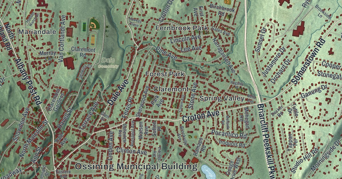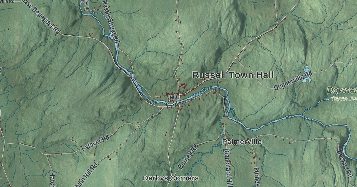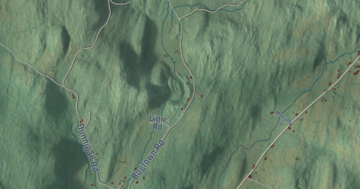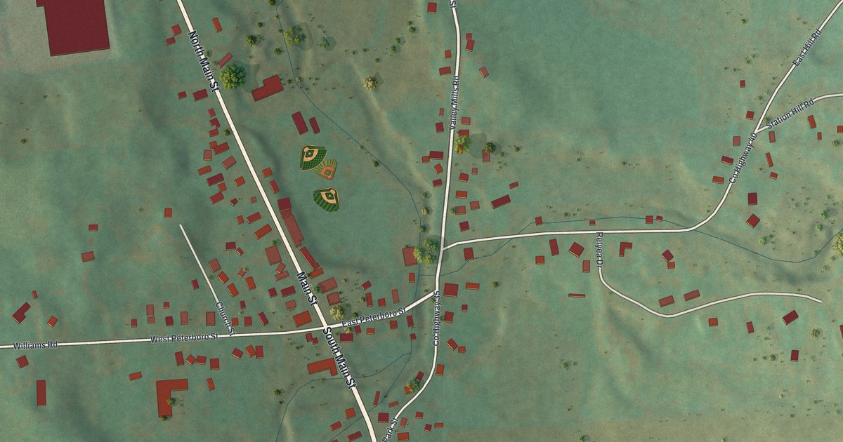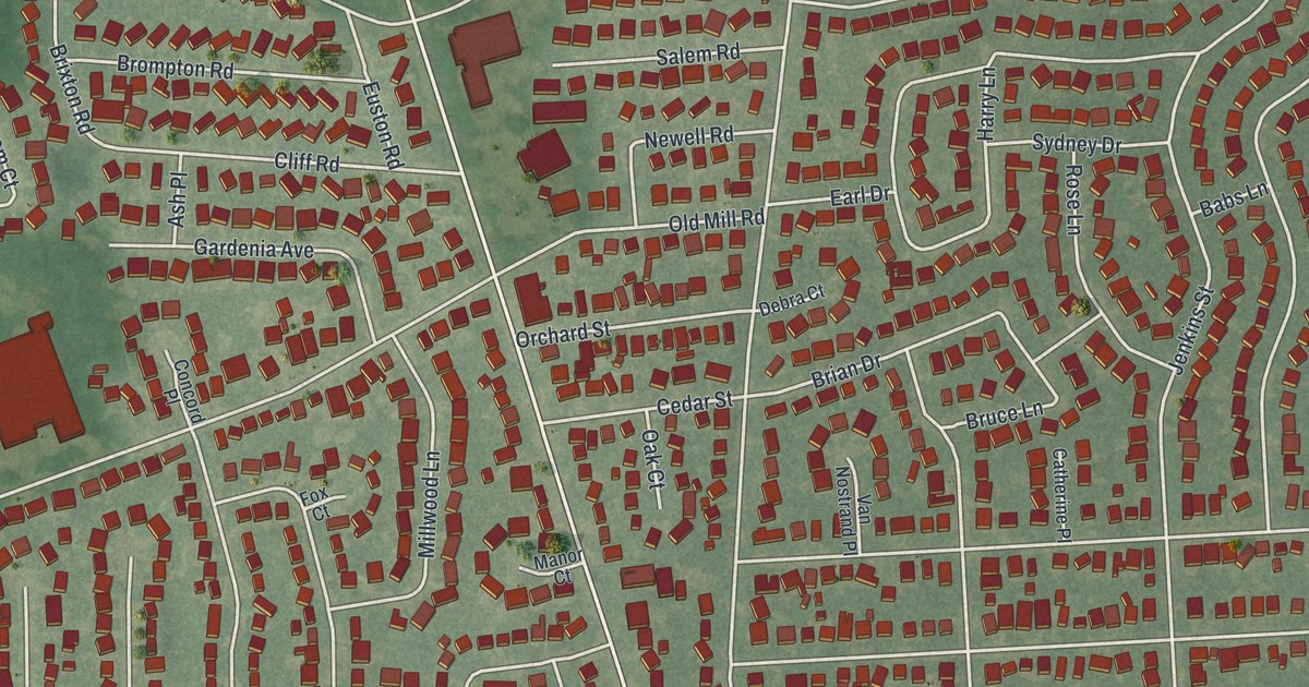
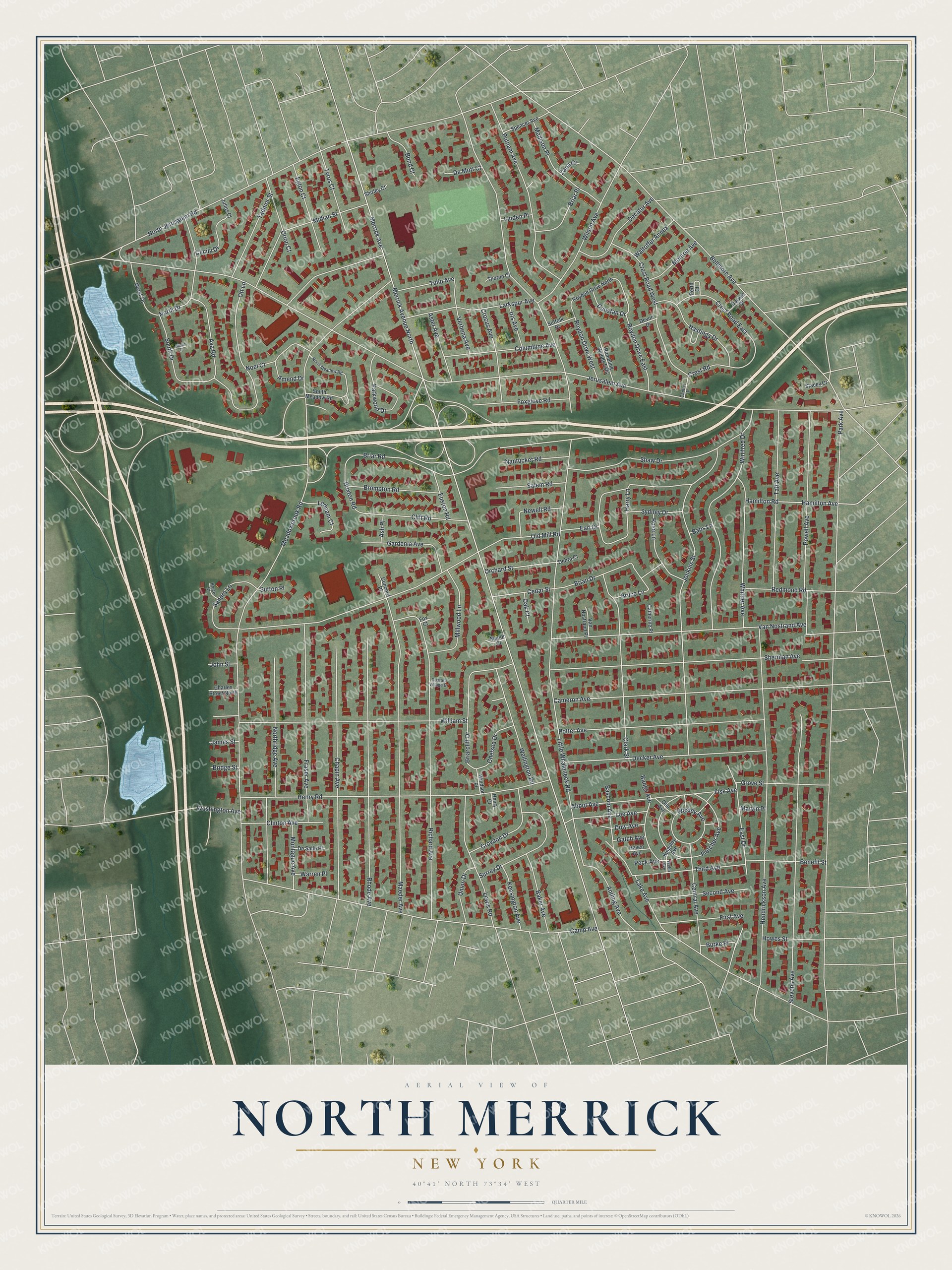
This beautifully detailed map of North Merrick, New York was created in 2026 using aerial imagery combined with modern topographical, census, street and landmark data. It’s a one-of-a-kind view of North Merrick that combines accurate data with a vintage aesthetic. The map shows every building in its true location, many of the roads carry their names, and the shaded topographic relief shows the shape of the land.
Explore an aerial view of North Merrick, New York
On the map you’ll find Merrick Avenue, Jerusalem Avenue, Little Whaleneck Road, Meadowbrook Road, Camp Avenue, and more. If you look closely you can even find your house accurately drawn in its correct location. Zoom in on the preview to look for yours.
Take a closer look at the North Merrick map
Names on this map
These names are printed on this map.
Streets and roads: Merrick Avenue, Merrick Avenue North, Jerusalem Avenue, Little Whaleneck Road, Meadowbrook Road, Camp Avenue, Park Avenue, North Jerusalem Road, Bellmore Avenue, William Street, Hendrickson Avenue, Old Mill Road.
More street names, A to Z
Abbot Avenue, Amend Drive, Anding Avenue, Ash Place, Aster Avenue, Ava Road, Babs Lane, Baker Avenue, Bangs Avenue, Bascom Avenue, Benefit Street, Bond Court, Brian Drive, Briarcliff Drive, Briar Place, Briar Road, Bridge Street, Brixton Road, Brompton Road, Bruce Court, Bruce Lane, Burke Place, Cameron Avenue, Canton Drive, Catherine Place, Cecily Drive, Cedar Street, Central Avenue, Chapin Avenue, Charles Street North, Chelsea Drive, Clark Street, Cliff Road, Clinton Avenue, Columbine Avenue, Concord Place, Crest Road, Crest Road East, Crest Road West, Crocus Avenue, Croydon Drive, Custom Village Drive, Darwin Drive, Debra Court, Decatur Avenue, Decker Avenue, De Mott Court, De Salle Place, Devon Drive, Dow Avenue, Dunstan Drive, Earl Drive, East Drive, Eglon Court, Euston Road, First Avenue, Fisk Avenue, Fletcher Avenue, Fox Court, Foxglove Road, Fraser Avenue, Gardenia Avenue, Gatch Avenue, Grove Street, Hamilton Avenue, Hamilton Road, Harry Lane, Hastings Drive, Haven Avenue, Henry Court, Henry Road, Howes Street, Iris Avenue, James Street, Jenkins Street, John Street, Julius Court, Kensington Avenue, Kingsley Avenue, Lake Avenue, Larkspur Avenue, Lednam Court, Lee Avenue, Lewis Road, Linden Place, Madison Place, Maeder Avenue, Manor Court, Marvin Place, Midian Street, Millwood Lane, Monroe Avenue, Montague Avenue, Nantucket Road, Newell Road, Noel Court, North Drive, North Meadow Road, Northridge Avenue, Oak Court, Olin Avenue, Orchard Street, Orion Court, Ott Lane, Parkwood Drive, Peck Avenue, Perth Court, Potter Avenue, Powell Avenue, Putnam Avenue, Rambling Woods Ests, Redmond Road, Rhode Avenue, Richard Avenue, Rose Lane, Roydon Drive East, Roydon Drive North, Roydon Drive West, Salem Road, Sandra Lane, Second Avenue, Shaw Drive, Sherman Avenue, Shirley Court, South Drive, South Meadow Road, Spencer Avenue, Stacey Court, Stevens Avenue, Suffolk Drive, Surrey Drive, Susan Court, Sutton Place, Sydney Drive, Tadmor Street, Taft Avenue, Third Avenue, Thorne Court, Tulip Avenue, Tyrus Court, Union Drive, Van Nostrand Avenue, Van Nostrand Place, Verbena Avenue, Waltoffer Annex, Warren Place, Washington Avenue, Webb Avenue, Wellington Road, Wesley Avenue, West Drive, Whittier Avenue, Wilson Avenue, Windsor Place, Winifred Drive, Zana Court.
See it on a wall
The North Merrick map as a framed print. Swipe for more.


This beautifully detailed map of North Merrick makes an attractive addition to your office, library, or den, and it can even be used to teach children the geography and history of the area. It also makes a great gift for someone who left North Merrick and still calls it home. When you’re done exploring, click here to get your copy of the North Merrick map.