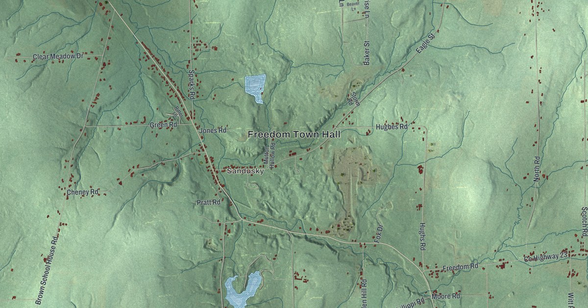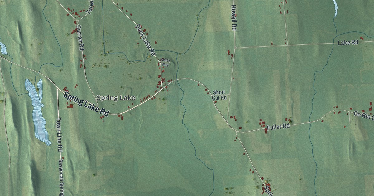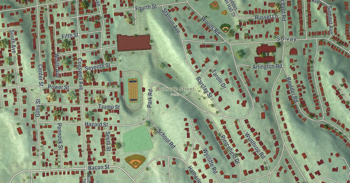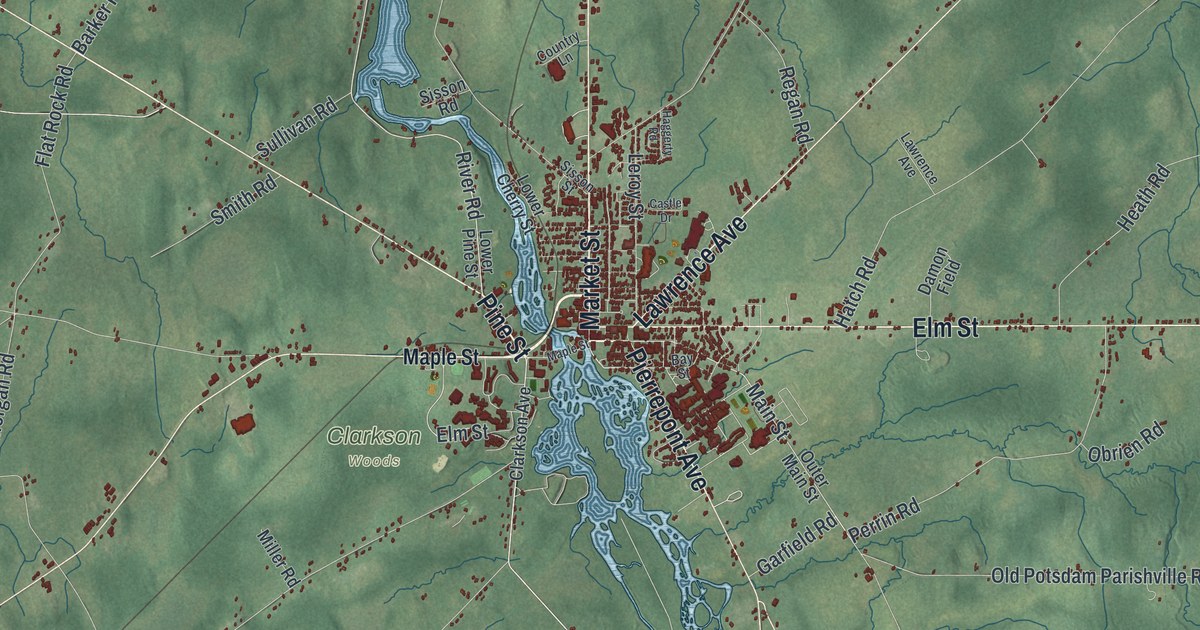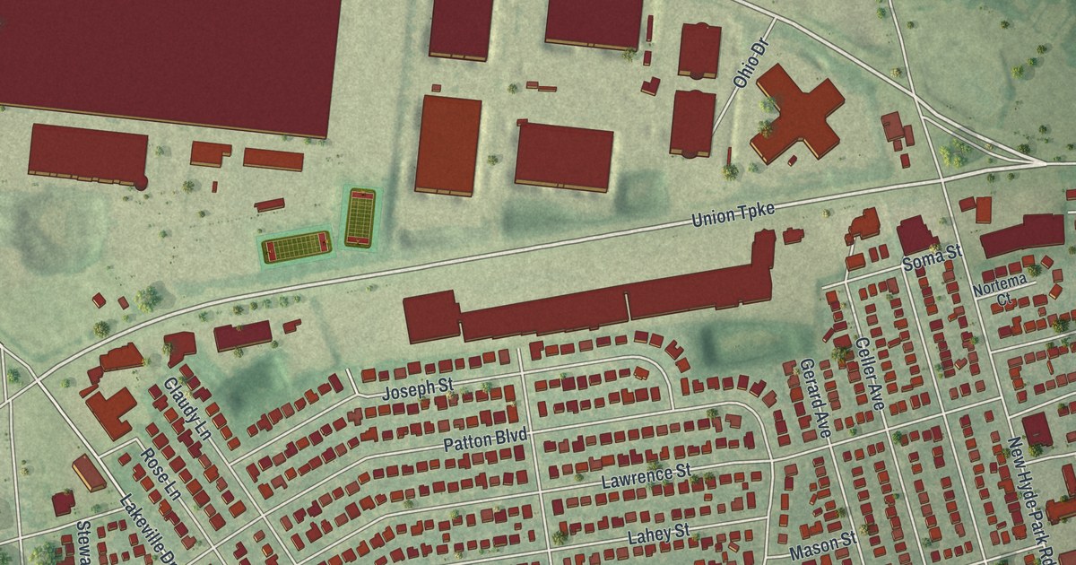
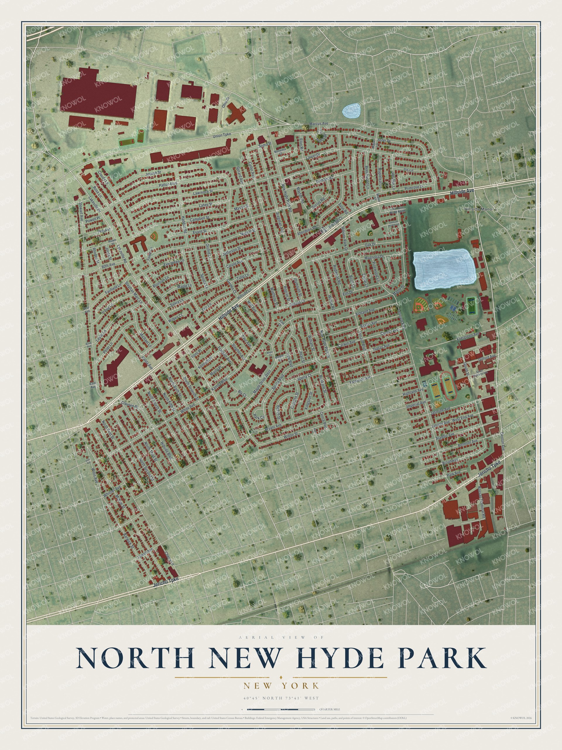
This beautifully detailed map of North New Hyde Park, New York was created in 2026 using aerial imagery combined with modern topographical, census, street and landmark data. It’s a one-of-a-kind view of North New Hyde Park that combines accurate data with a vintage aesthetic. The map shows every building in its true location, many of the roads carry their names, and the shaded topographic relief shows the shape of the land.
Explore an aerial view of North New Hyde Park, New York
On the map you’ll find Hillside Avenue, Jericho Turnpike, Marcus Avenue, Denton Avenue, Union Turnpike, and more. If you look closely you can even find your house accurately drawn in its correct location. Zoom in on the preview to look for yours.
Did You Know?
The Denton House in North New Hyde Park became a historic site after local citizens fought for it. The Town of North Hempstead made it a landmark. Today the old house is a fast-food restaurant nicknamed the McDonald’s Mansion. The chain kept its outside design and built a drive-through behind it.
Take a closer look at the North New Hyde Park map
Names on this map
These names are printed on this map.
Places: Hillside Manor.
Streets and roads: Hillside Avenue, Jericho Turnpike, Marcus Avenue, Denton Avenue, Union Turnpike, Lakeville Drive, Hillside Park Drive, Lakeville Road, New Hyde Park Road, Bryant Avenue, Lawrence Street, Leonard Boulevard.
More street names, A to Z
79th Avenue, 80th Avenue, 81st Avenue, 82nd Avenue, 83rd Avenue, 85th Avenue, Aberdeen Road, Aladdin Avenue, Albert Street, Ashland Avenue, Aster Drive, Avon Road, Barwick Street, Baxter Avenue, Beech Street, Beechwood Lane, Belmont Avenue, Birch Lane, Blossom Lane, Bly Court, Bregman Avenue, Brisbane Street, Broadway, Campbell Street, Carole Avenue, Carwin Avenue, Cedar Lane, Celler Avenue, Central Boulevard, Cherry Lane, Claudy Lane, Clausen Place, Corwin Avenue, Croyden Street, Dallas Avenue, Delano Court, Durham Road, Elm Court, Elm Drive, Eric Lane, Eton Road, Evans Street, Evergreen Avenue, Evergreen Lane, Fairfield Lane, Falmouth Avenue, Flower Lane, Franklin Avenue, Garden Court, Gerard Avenue, Gilford Avenue, Gould Street, Haddon Road, Heather Lane, Highland Avenue, Hillside Boulevard, Hillside Court, Hillside Lane, Hull Avenue, Imperial Avenue, Iris Lane, Irons Place, Irving Lane, Jasmine Avenue, Jefferson Street, Jones Street, Joseph Street, Kalda Avenue, Kamda Boulevard, Kenneth Place, Kent Road, Kingston Street, Lahey Street, Laurel Drive, Leslie Lane, Lincoln Avenue, Lowell Avenue, Magnolia Drive, Major Lane, Manly Place, Manor Court, Maple Circle, Maple Court, Maple Drive, Maple Drive West, Maple Lane, Mapleleaf Lane, Mason Street, Mayfair Road, McKee Street, Michael Lane, Nassau Terminal Road, New Hyde Park Drive, Nortema Court, North Fifth Street, North First Street, North Fourth Street, North Second Street, North Seventh Street, North Sixth Street, North Third Street, Nugent Street, Oak Drive, Ohio Drive, Old Farm Road North, Old Farm Road South, Orchid Lane, Park Avenue, Park Circle, Patton Boulevard, Paul Avenue, Pearl Street, Peter Lane, Pilgrim Street, Pinewood Lane, Plymouth Street, Powell Place, Primrose Drive, Redwood Road, Rhodes Street, Rose Lane, Rowe Place, Soma Street, South Highland Avenue, Sperry Boulevard, Sperry Court, Spruce Lane, Stephan Marc Lane, Stephen Avenue, Stewart Avenue, Surrey Road, Sylvia Lane, Terrace Boulevard, Tryon Court, Tudor Drive, Tulip Lane, West End Avenue, White Avenue, Whittier Avenue, Wilben Court, William Street, Willis Avenue, Willow Road, Wilton Street, Winthrop Street, Yale Boulevard.
See it on a wall
The North New Hyde Park map as a framed print. Swipe for more.


This beautifully detailed map of North New Hyde Park makes an attractive addition to your office, library, or den, and it can even be used to teach children the geography and history of the area. It also makes a great gift for someone who left North New Hyde Park and still calls it home. When you’re done exploring, click here to get your copy of the North New Hyde Park map.