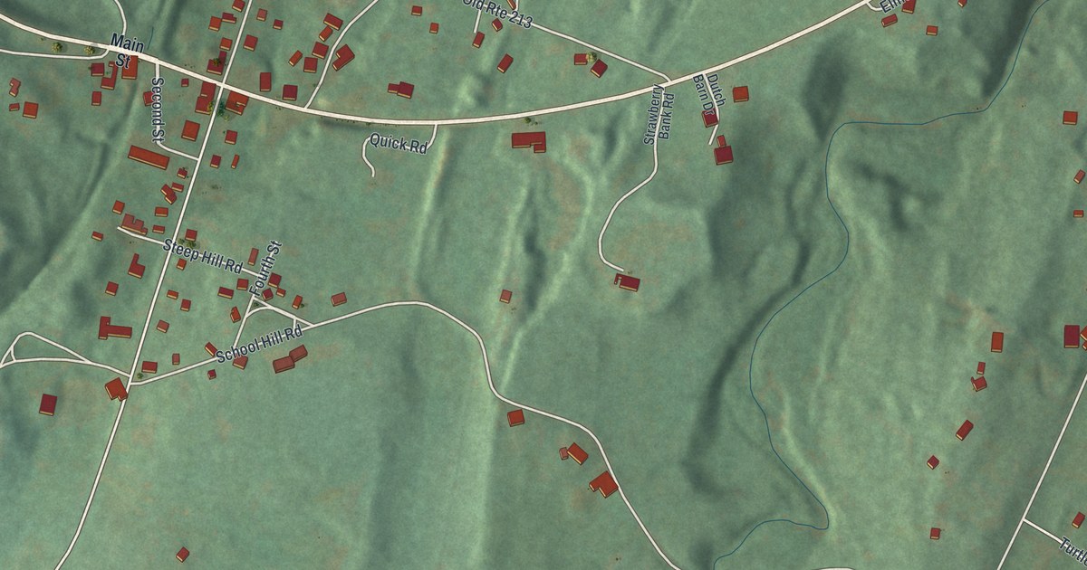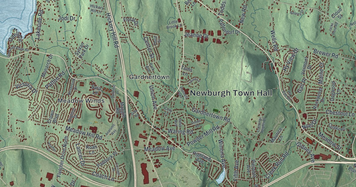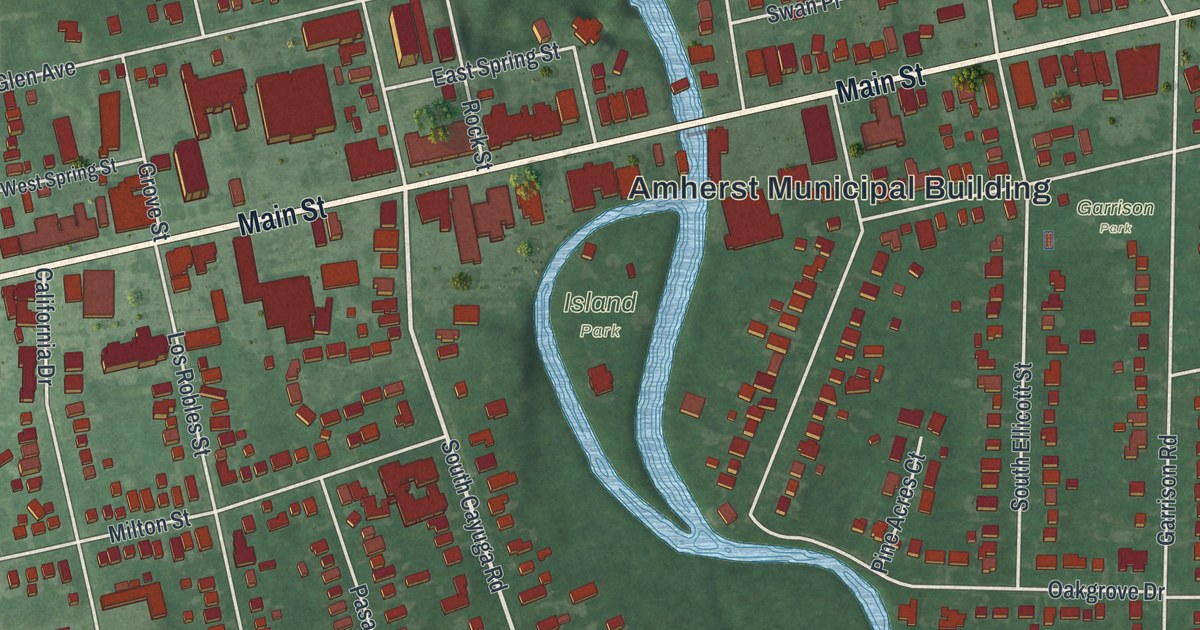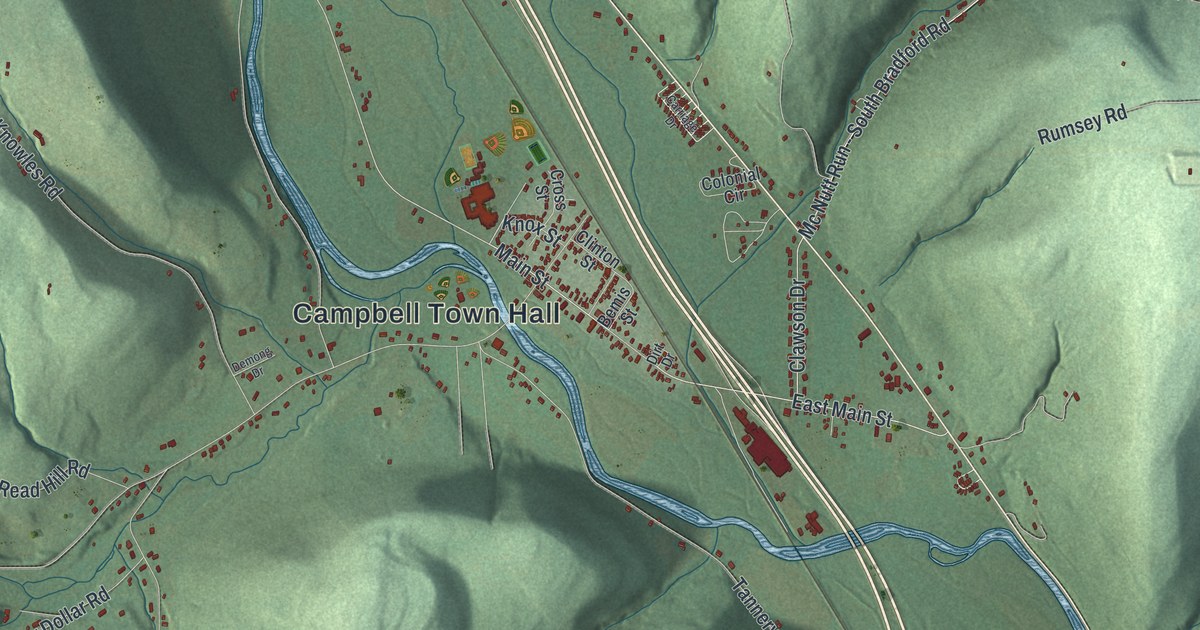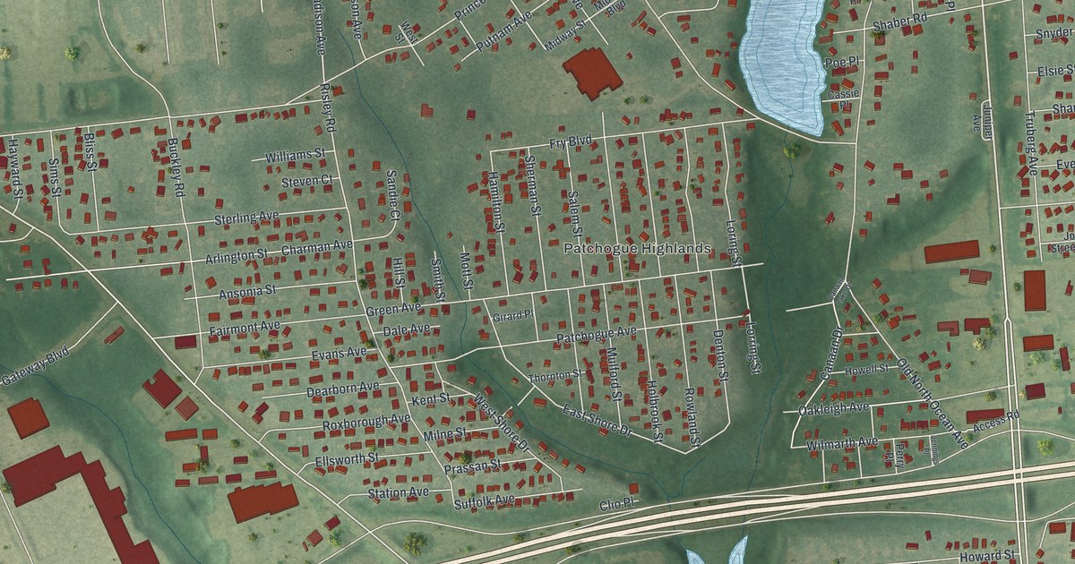
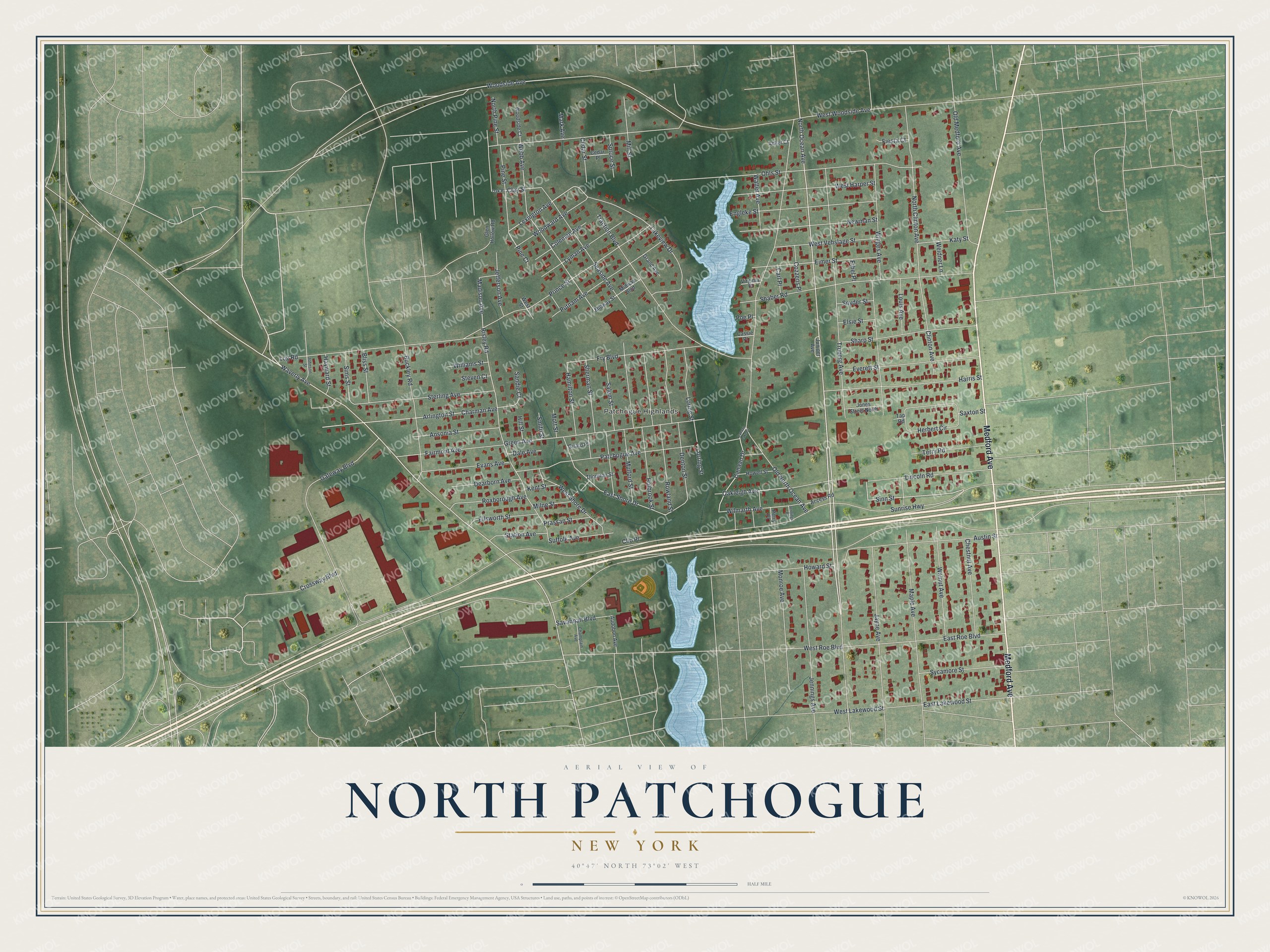
This beautifully detailed map of North Patchogue, New York was created in 2026 using aerial imagery combined with modern topographical, census, street and landmark data. It’s a one-of-a-kind view of North Patchogue that combines accurate data with a vintage aesthetic. The map shows every building in its true location, many of the roads carry their names, and the shaded topographic relief shows the shape of the land.
Explore an aerial view of North Patchogue, New York
On the map you’ll find Patchogue Highlands, along with Medford Avenue, Ocean Avenue, Jayne Avenue, Sinn Street, Waverly Avenue, and more. If you look closely you can even find your house accurately drawn in its correct location. Zoom in on the preview to look for yours.
Did You Know?
Michael P. Murphy, a United States Navy SEAL, was a native of North Patchogue. During a 2005 battle against the Taliban in Afghanistan, he showed great bravery. The nation awarded him the Medal of Honor after his death, in 2007.
Take a closer look at the North Patchogue map
Names on this map
These names are printed on this map.
Places: Patchogue Highlands.
Streets and roads: Medford Avenue, North Ocean Avenue, Jayne Avenue, Sinn Street, Waverly Avenue, Pine Street, Lexington Avenue, Madison Avenue, Chestnut Avenue, Traction Boulevard, Webb Avenue, Clay Street.
More street names, A to Z
Access Road, Anker Court, Ansonia Street, Arlington Street, Audobon Avenue, Austin Street, Bliss Street, Buckley Road, Canaan Drive, Canaan Lake Drive, Carl Place, Cassie Place, Cedar Place, Cedar Street, Champlain Avenue, Charman Avenue, Clinton Avenue, Clio Place, Coleman Avenue, Cozzens Place, Crossway Boulevard, Dale Avenue, Dearborn Avenue, Denton Street, East Lakewood Street, East Roe Boulevard, East Shore Drive, Eimer Street, Ellsworth Street, Elsie Street, Engleke Street, Ethel Place, Evans Avenue, Everett Street, Fairmont Avenue, Fiesta Court, Fry Boulevard, Gateway Boulevard, Girard Place, Glen Hollow Road, Grand Avenue, Green Avenue, Hamilton Street, Harris Street, Hayward Street, Herbert Circle, Hill Street, Holbrook Street, Howard Street, Howell Street, Jefferson Avenue, Jennings Avenue, Jennings Place, Johnson Street, Jones Street North, Juniper Avenue, Katy Street, Kent Street, Lakeview Drive, Lincoln Road, Log Road, Loring Street, Lorring Street, Louis Avenue, Lyman Avenue, Maple Avenue, Mark Avenue, Midway Boulevard, Midway Street, Mill Street, Milne Street, Monroe Avenue, Mott Street, Mulford Street, Newman Street, North Clinton Avenue, North Pine Street, Oakleigh Avenue, Oak Place, Ohls Street, Old Medford Avenue, Old North Ocean Avenue, Patchogue Avenue, Perry Place, Pine Court, Poe Place, Prassan Street, Prince Street, Putnam Avenue, Risley Road, Rowland Street, Roxborough Avenue, Salem Street, Sandie Court, Savannah Boulevard, Saxton Street, Seaside Avenue, Shaber Road, Sharp Street, Sherman Street, Sims Street, Smith Street, Snyder Street, Spruce Street, Station Avenue, Sterling Avenue, Steven Court, Suffolk Avenue, Sunrise Highway, Sycamore Street, Tap Road, Terry Road, Thornton Street, Truberg Avenue, Virginia Place, Walnut Avenue, Walter Avenue, Weidner Lane, West Harper Street, West Lakewood Street, West Roe Boulevard, West Shore Drive, West Street, West Vehslage Street, West Woodside Avenue, Williams Street, Wilmarth Avenue, Winges Avenue, Woodside Avenue, Woodside Court, Woodward Avenue.
See it on a wall
The North Patchogue map as a framed print. Swipe for more.


This beautifully detailed map of North Patchogue makes an attractive addition to your office, library, or den, and it can even be used to teach children the geography and history of the area. It also makes a great gift for anyone who grew up in North Patchogue or moved away. When you’re done exploring, click here to get your copy of the North Patchogue map.