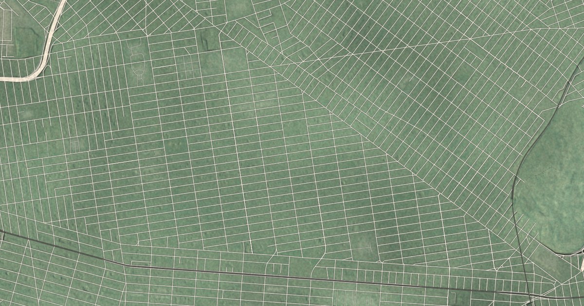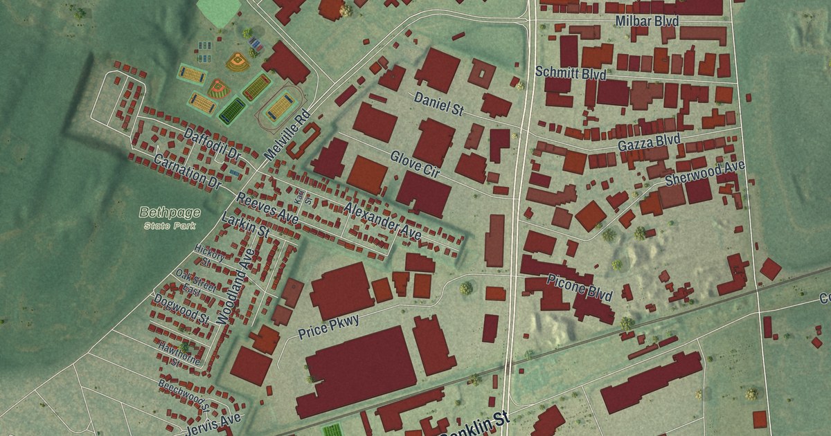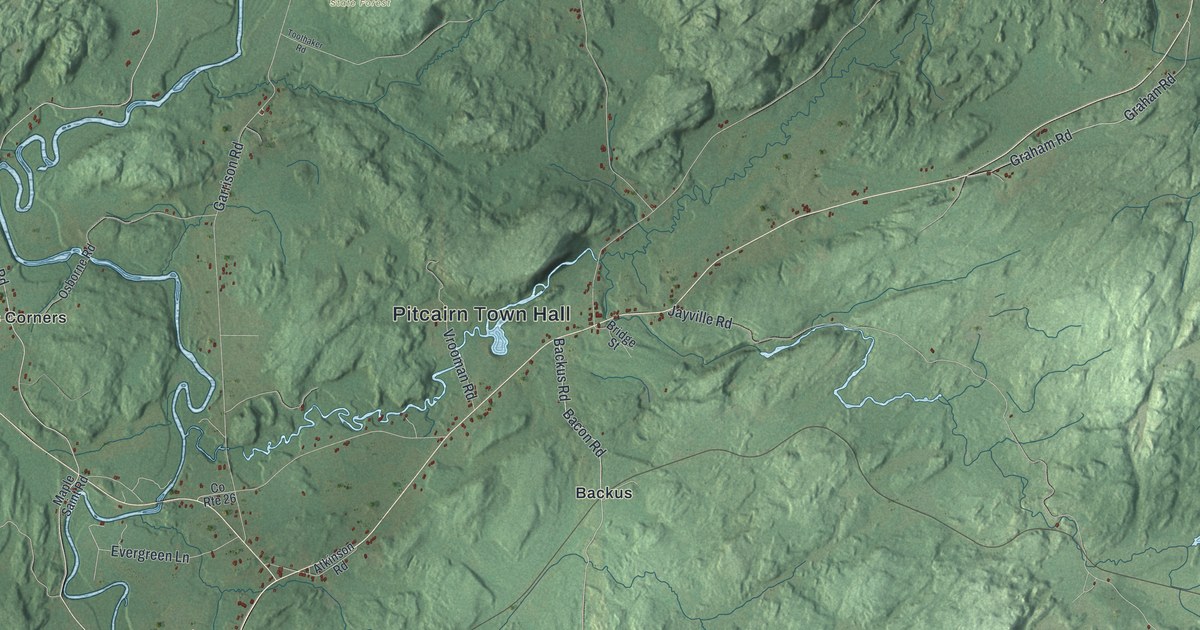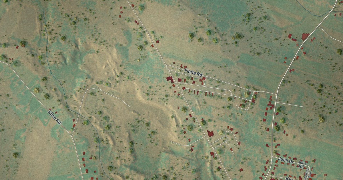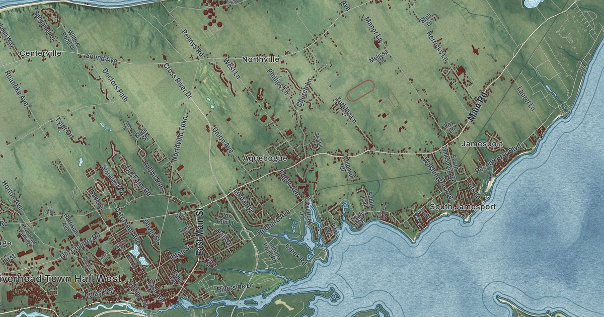
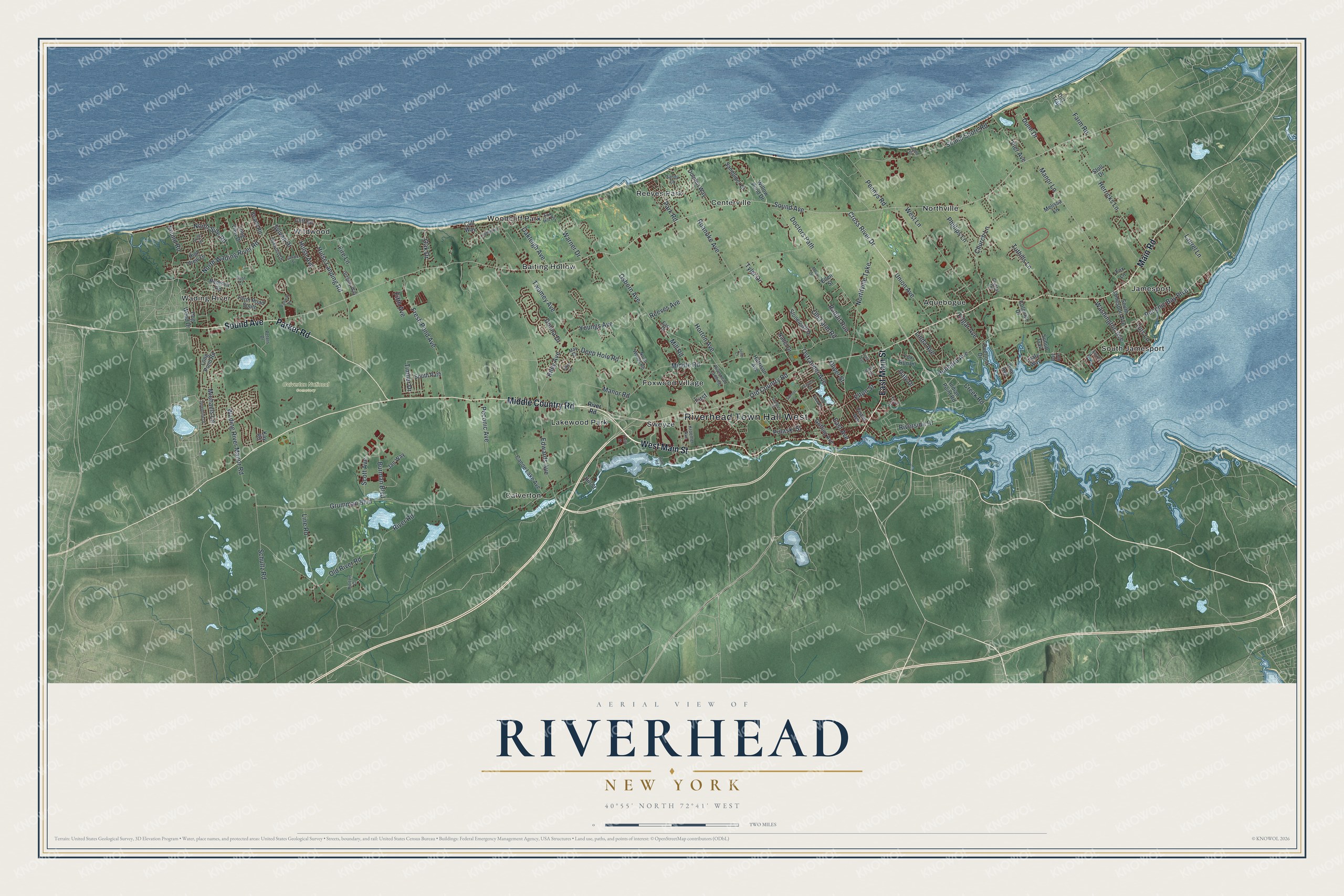
This beautifully detailed map of Riverhead, New York was created in 2026 using aerial imagery combined with modern topographical, census, street and landmark data. It’s a one-of-a-kind view of Riverhead that combines accurate data with a vintage aesthetic. The map shows every building in its true location, many of the roads carry their names, and the shaded topographic relief shows the shape of the land.
Explore an aerial view of Riverhead, New York
On the map you’ll find Riverhead Town Hall West, Aquebogue, Baiting Hollow, Calverton, Centerville, Foxwood Village, and Calverton National Cemetery, along with Middle Country Road, Main Street, Parker Road, Main Road, and more. If you look closely you can even find your house accurately drawn in its correct location. Zoom in on the preview to look for yours.
Did You Know?
Riverhead was once the poor western end of Southold. Its people told the state legislature that Southold was so long that getting to town meetings was a hardship. On March 13, 1792, lawmakers split them off as the new town of River Head. The name came from its spot on the Peconic River.
Take a closer look at the Riverhead map
Names on this map
These names are printed on this map.
Places: Riverhead Town Hall West, Calverton National Cemetery, Aquebogue, Baiting Hollow, Calverton, Centerville, Foxwood Village, Jamesport, Lakewood Park, Northville, Reeves Park, South Jamesport, Sweyze, Wading River, Wildwood and Woodcliff Park.
Streets and roads: Middle Country Road, West Main Street, East Main Street, Parker Road, Main Road, Sound Avenue, Old Country Road, Peconic Bay Boulevard, Sound Road, Edwards Avenue, Peconic Avenue, Manor Road.
More street names, A to Z
Bay Avenue, Beach Road, Burman Boulevard, Canoe Lake Avenue, Church Lane, Cliff Road, Cliff Way, Colonial Drive, Creek Road, Cross River Drive, Crystal Drive, Daly Drive, Dam Road, Deep Hole Road, Dirt Trail, Doctors Path, Dog Wood Drive, Dolphin Way, Donna Drive, Dune Drive, Duryea Street, East Avenue, East Court, East Drive, East Street, Edgar Avenue, Ellen Street, Elton Street, Fairway Drive, Farm Road, Farm Road South, Fifth Avenue, Fire Lane, First, First Street, Fishel Avenue, Fox Hill Drive, Fox Lane, Fox Run Lane, Fresh Pond Avenue, Gerald Street, Gregory Place, Gregory Way, Griffing Avenue, Grumman Boulevard, Harrison Avenue, Herricks Lane, High View Drive, Hill Street, Horten Court, Horton Avenue, Hubbard Avenue, Hulse Avenue, Hulse Landing Road, Indian Point Road, Jakes Lane, Jan Way, Josephine Drive, Josie Court, Kay Road, Kroemer Avenue, Landing Lane, Laurel Lane, Leafy Way, Lewis Street, Linda Avenue, Line Road, Long Pond Road, Long View Drive, Manor Lane, May Drive, Melissa Lane, Michaels Lane, Middle Road, Mill Road, Moet Drive, Nadel Drive, North Side Road, Northville Turnpike, North Wading River Road, North Woods Road, Oak Drive, Oakleigh Avenue, Oakwood Drive, Old Farm Road, Old River Road, Oliver Street, Osborn Avenue, Ostrander Avenue, Overlook Drive, Park Avenue, Park Road, Pennys Road, Peters Drive, Phillips Lane, Pier Avenue, Pine Avenue, Pond View Road, Pulaski Street, Rabbit Run, Reeves Avenue, Remsen Road, Riley Avenue, Riverhead Landing, River Road, Riverside Drive, Roanoke Avenue, Sandpiper Drive, Sandy Court, School Street, Schultz Road, Scott Avenue, Sound Drive, Sound Shore Road, South Jamesport Avenue, South Path, South Road, Stoll Drive, Stoneleigh Drive, Sunup Trail, Sylvan Drive, Third Street, Timber Drive, Tuthills Lane, Tuts Lane, Twomey Avenue, Tyler Drive, Union Avenue, Wading River Manor Road, Warner Drive, Washington Avenue, West Lane, Willow Pond Drive, Youngs Avenue.
See it on a wall
The Riverhead map as a framed print. Swipe for more.


This beautifully detailed map of Riverhead makes an attractive addition to your office, library, or den, and it can even be used to teach children the geography and history of the area. It also makes a great gift for someone who left Riverhead and still calls it home. When you’re done exploring, click here to get your copy of the Riverhead map.