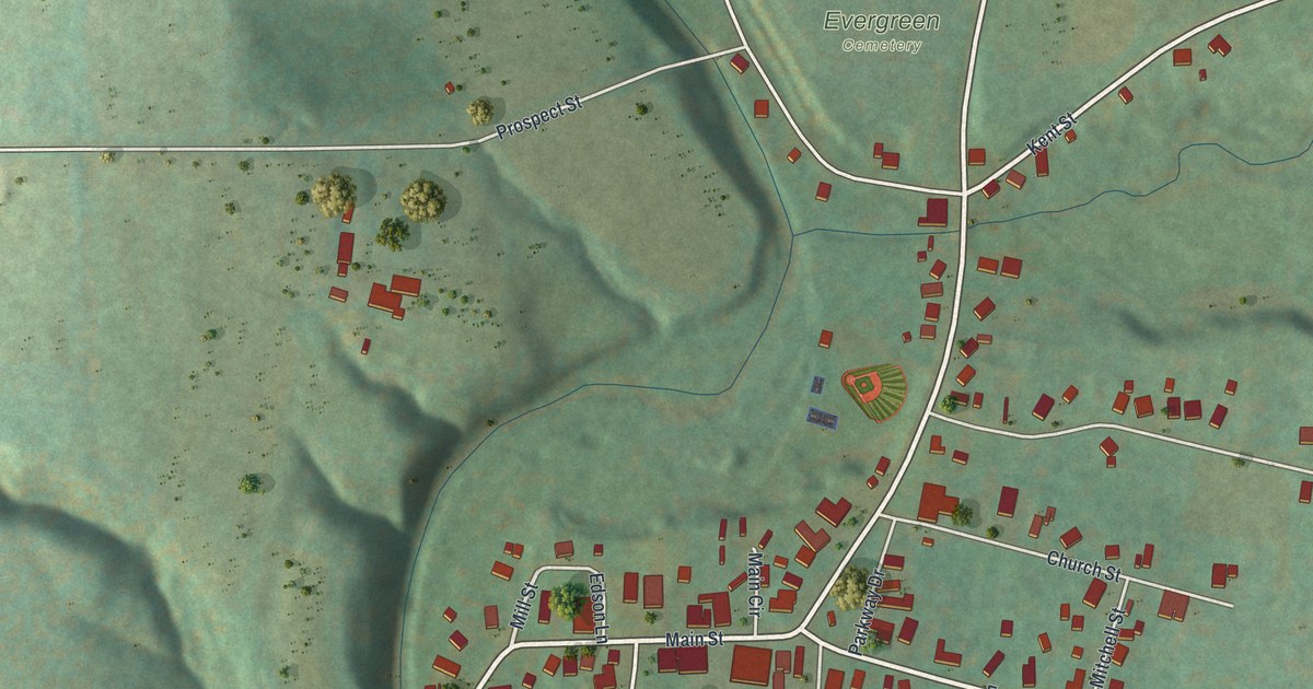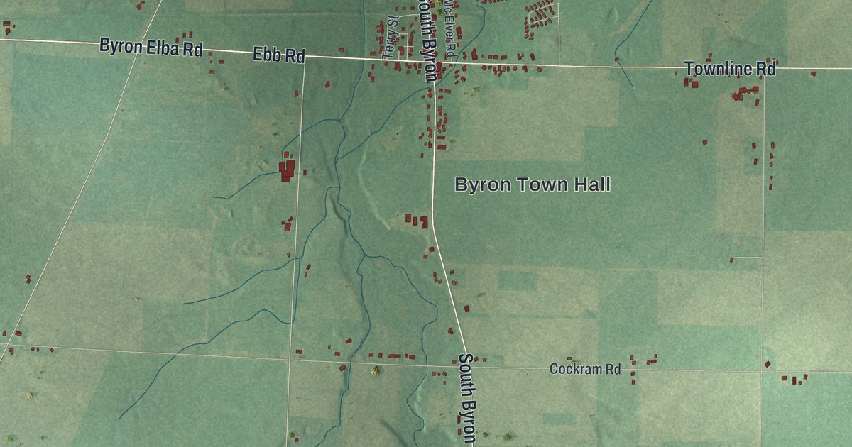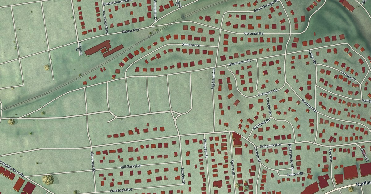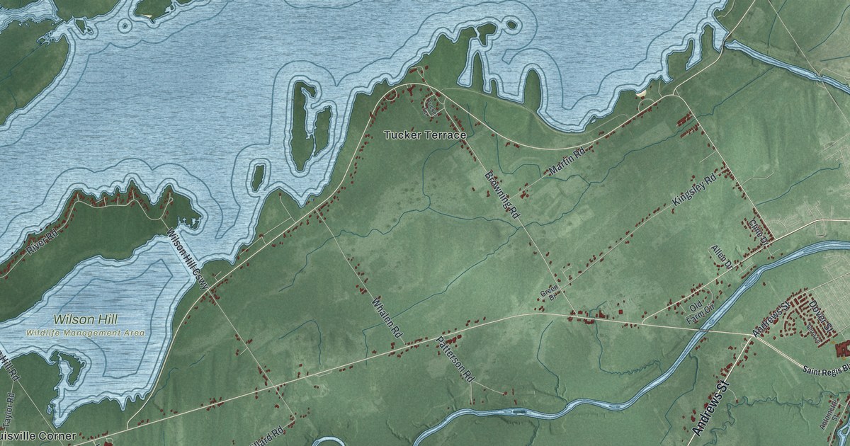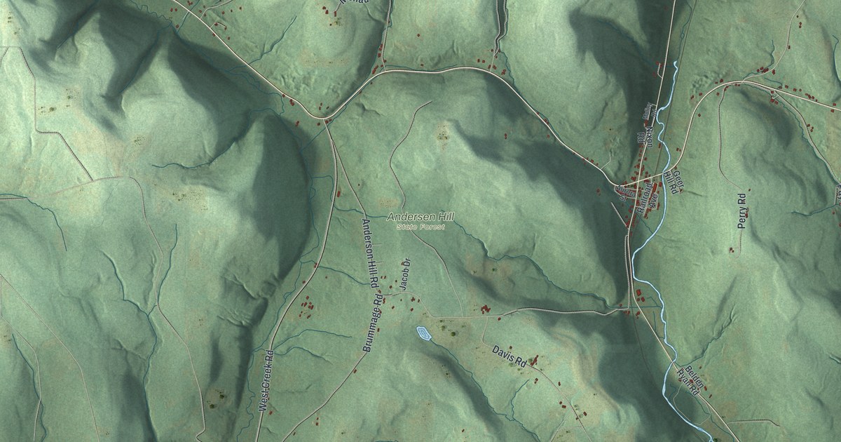
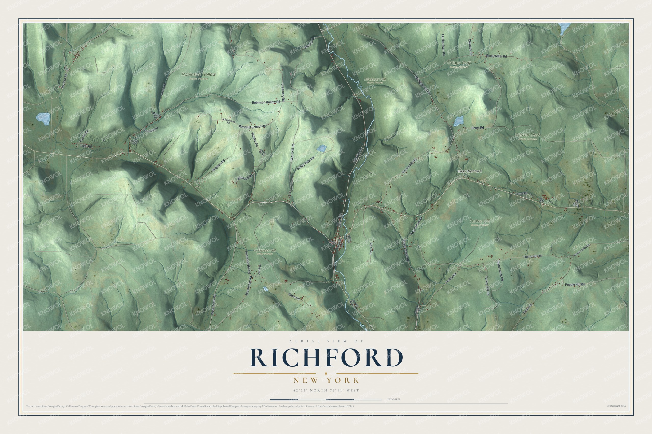
This beautifully detailed map of Richford, New York was created in 2026 using aerial imagery combined with modern topographical, census, street and landmark data. It’s a one-of-a-kind view of Richford that combines accurate data with a vintage aesthetic. The map shows every building in its true location, many of the roads carry their names, and the shaded topographic relief shows the shape of the land.
Explore an aerial view of Richford, New York
On the map you’ll find East Richford, Andersen Hill State Forest, Beaver Dam State Forest, Griggs Gulf State Forest, and Michigan Hill State Forest, along with Howe Road, Matson Road, Hubby Road, Creamery Road, Victory Hill Road, and more. If you look closely you can even find your house accurately drawn in its correct location. Zoom in on the preview to look for yours.
Did You Know?
John D. Rockefeller, who founded the Standard Oil company, was born in Richford. He came back to visit in the summers. The foundation of his childhood home still stands in Griggs Gulf State Forest. A sign marks the historic site.
Take a closer look at the Richford map
Names on this map
These names are printed on this map.
Places: East Richford, Andersen Hill State Forest, Beaver Dam State Forest, Griggs Gulf State Forest, Michigan Hill State Forest, Robinson Hollow State Forest and Turkey Hill State Forest.
Streets and roads: Howe Road, Matson Road, Hubby Road, Creamery Road, Victory Hill Road, Harford Road, Robinson Hollow Road, Michigan Hill Road, Tubbs Hill Road, Anderson Hill Road, State Lands Road, Rockefeller Road.
More street names, A to Z
Aurora Street, Barden Hill Road, Barden Road, Belden Ryan Road, Brigham Road, Brummage Road, Canaan Road, Chwalek Road, Davis Road, Faulkenham Road, Geer Hill Road, Glezen Road, Hayes Road, Hemlock Hill Road, Hog Hollow Road, Howland Hill Road, Jacob Drive, Lacey Road, Light Road, Michaud Road, Morton Road, Muliny Road, Nixon Road, Pacific Road, Payne Marsh Road, Payne Road, Perry Road, Popple Hill Road, Railroad Avenue, Rockbottom Road, Schoolhouse Road, Sears Road, Terrell Road, Turkey Hill Road, Valley View Road, Welch Road, West Creek Road, West Hill Road, West Hill School Road.
See it on a wall
The Richford map as a framed print. Swipe for more.


This beautifully detailed map of Richford makes an attractive addition to your office, library, or den, and it can even be used to teach children the geography and history of the area. It also makes a great gift for anyone who grew up in Richford or moved away. When you’re done exploring, click here to get your copy of the Richford map.