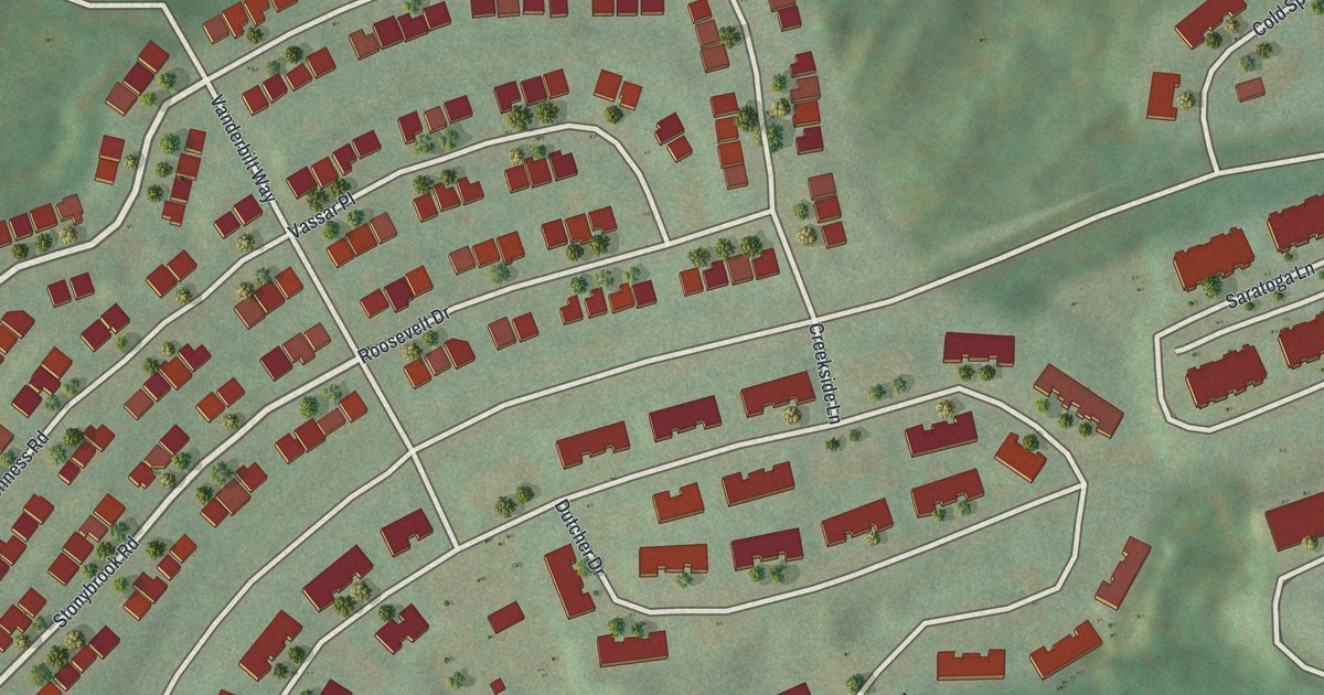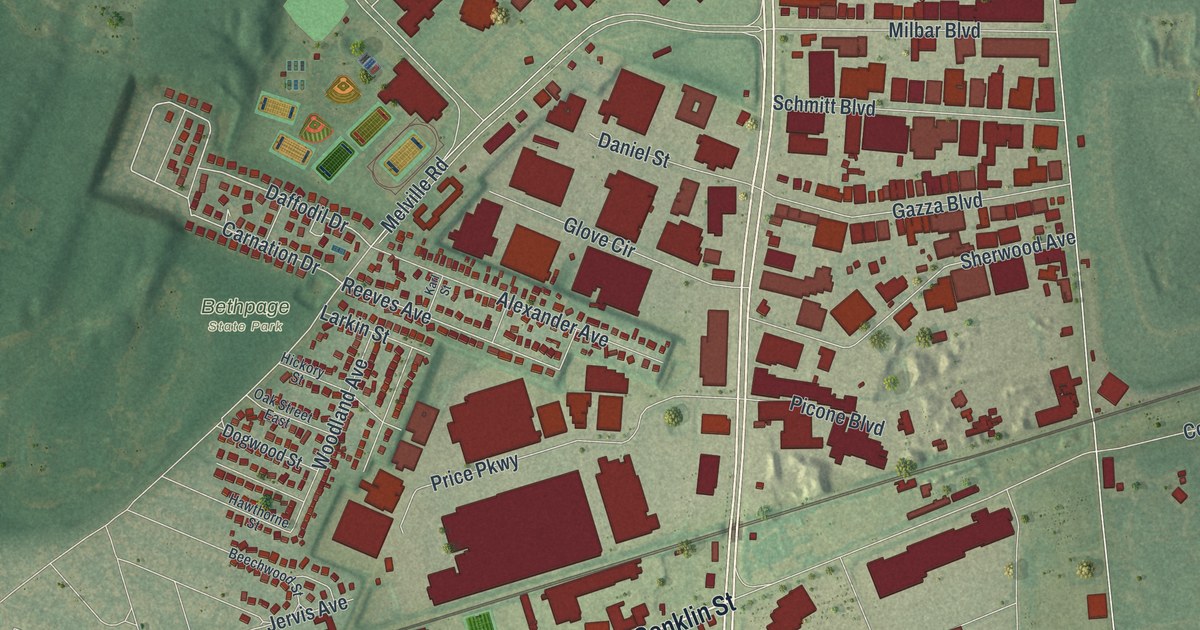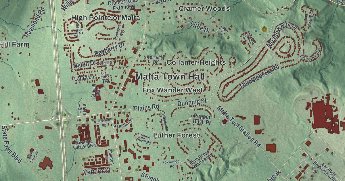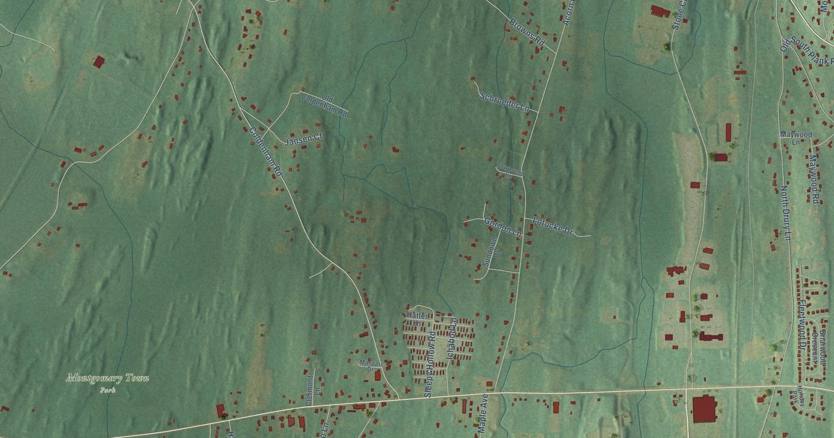
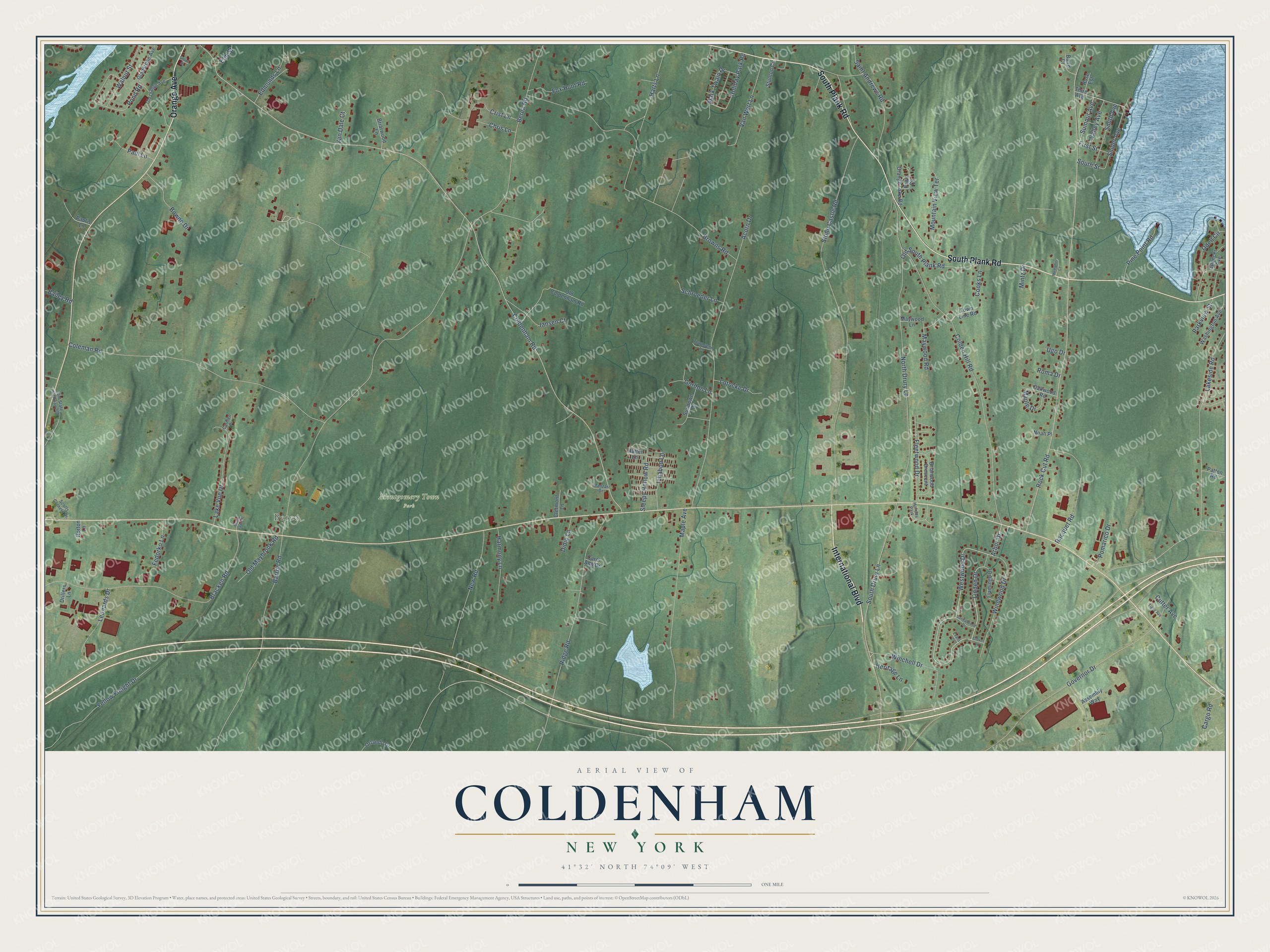
This beautifully detailed map of Coldenham, New York was created in 2026 using aerial imagery combined with modern topographical, census, street and landmark data. It’s a one-of-a-kind view of Coldenham that combines accurate data with a vintage aesthetic. The map shows every building in its true location, many of the roads carry their names, and the shaded topographic relief shows the shape of the land.
Explore an aerial view of Coldenham, New York
On the map you’ll find Berea and Montgomery Town Park, along with South Plank Road, International Boulevard, Orange Avenue, Westwood Drive, Linden Drive, Summit Avenue, Arbor Drive, New Road, Coldenham Road, Berea Road, and more. If you look closely you can even find your house accurately drawn in its correct location. Zoom in on the preview to look for yours.
Did You Know?
From Internet Archive: "For a number of years their settlement was known as Belknap's Ridge, but more recently has been classed as Coldenham, from the district post-oflBce of that name."
Coldenham is a community in Orange County.
Take a closer look at the Coldenham map
Names on this map
These names are printed on this map.
Places: Berea, Montgomery Town Park and Holiday Park.
Streets and roads: South Plank Road, International Boulevard, Orange Avenue, Westwood Drive, Linden Drive, Summit Avenue, Arbor Drive, New Road, Coldenham Road, Berea Road, Browns Road, Rock Cut Road.
More street names, A to Z
Acorn Drive, Assembly Way, Bailey Road, Baird Court, Barron Road, Bowne Drive, Bracken Road, Briarwood Crescent, Briarwood Lane, Cargo Road, Carmen Place, Carol Ann Drive, Chris Lane, Clermont Lane, Clover Lane, Colden Hill Road, Coleman Road, Cooks Lane, Crist Lane, Cutter Avenue, Didio Lane, Drillers Lane, Edmunds Lane, Elm Street, Evans Court, Fawn Circle, Fedorko Lane, First Street, Flamingo Drive, Fleetwood Drive, Fox Hunt Road, Gladstone Avenue, Gordon Lane, Governor Drive, Grove Street, Harmony Lane, Harts Lane, Hatter Lane, Heritage Lane, Holiday Park Road, Horton Lane, Ichabod Lane, Jansen Court, Lakeside Road, Lake Vue Drive, Leonards Drive, Lotocke Drive, Manzari Drive, Maple Avenue, Maple Drive, Mark Twain Drive, Maywood Lane, Maywood Road, Memphis Court, Mintz Drive, Mountain View Terrace, Noah Place, North Drury Lane, Oakwood Road, Odell Circle, Old Coldenham Road, Old Maybrook Road, Old Orange Avenue, Old South Plank Road, Old State Highway 208, Orange Lake Road, Orlando Drive, Parkview Street, Patton Road, Paul's Lane, Paul Lane, Pine Point Road, Pomarico Drive, Pond Road, Racquet Road, Ridge Road, Roma Drive, Rose Est, Saint Andrews Road, Sandalwood Drive, Schroeder Lane, Scotts Corners Drive, Shady Lawn Place, Sleepy Hollow Road, Smith Avenue, Snider Avenue, South Drury Lane, South Street, Spencer Avenue, Stone Castle Road, Stunton Circle, Sundown Drive, Third Avenue, Tighe Avenue, Town Line Road, Townsend Lane, Ugo Drive, Valley Avenue, Van Dale Court, Van Wert Lane, Walnut Street, Washington Avenue, Winchell Drive, Windwood Drive, Yellow Freight Drive.
See it on a wall
The Coldenham map as a framed print. Swipe for more.


This beautifully detailed map of Coldenham makes an attractive addition to your office, library, or den, and it can even be used to teach children the geography and history of the area. It also makes a great gift for anyone who grew up in Coldenham or moved away. When you’re done exploring, click here to get your copy of the Coldenham map.