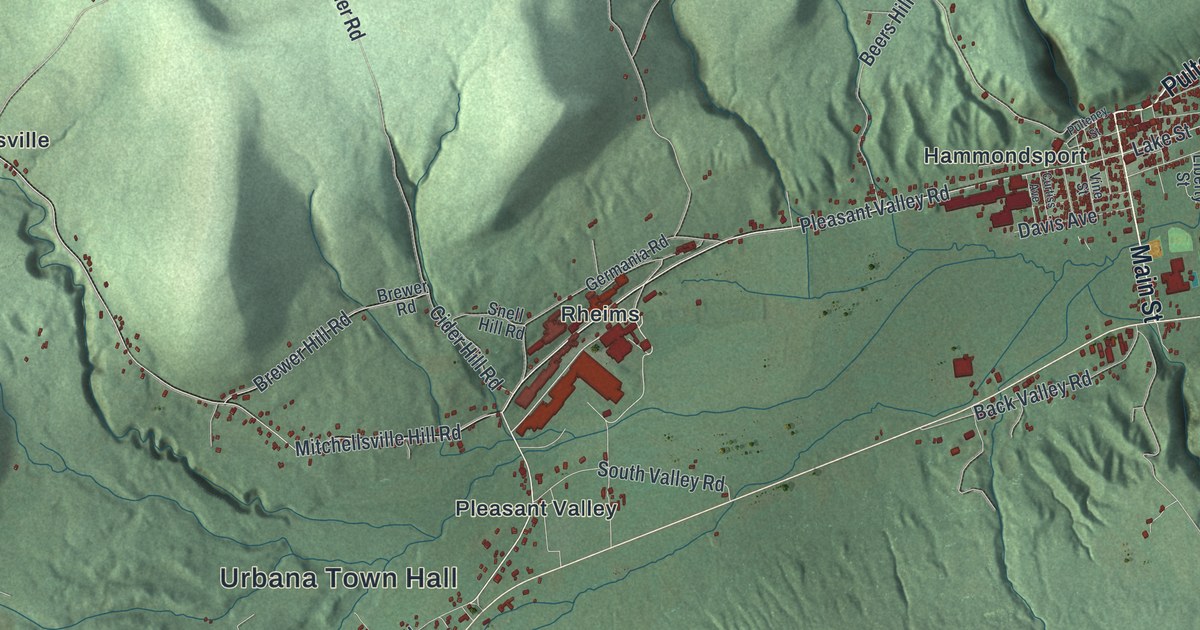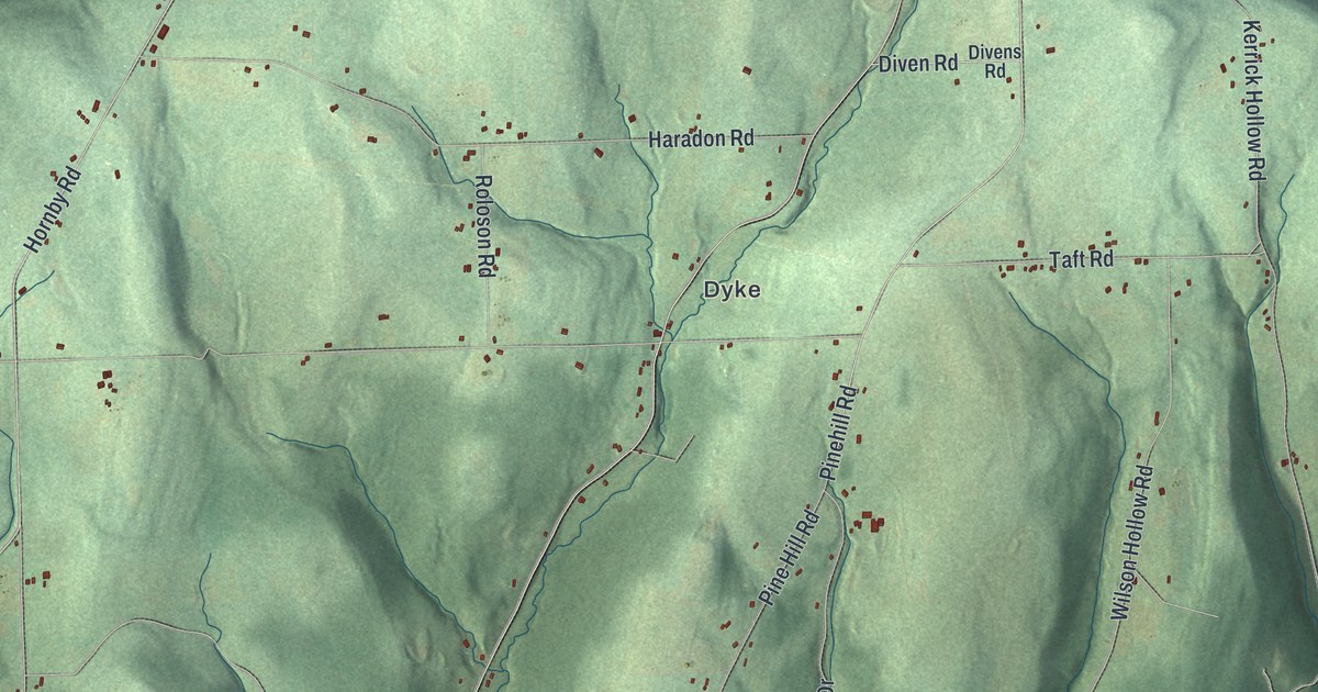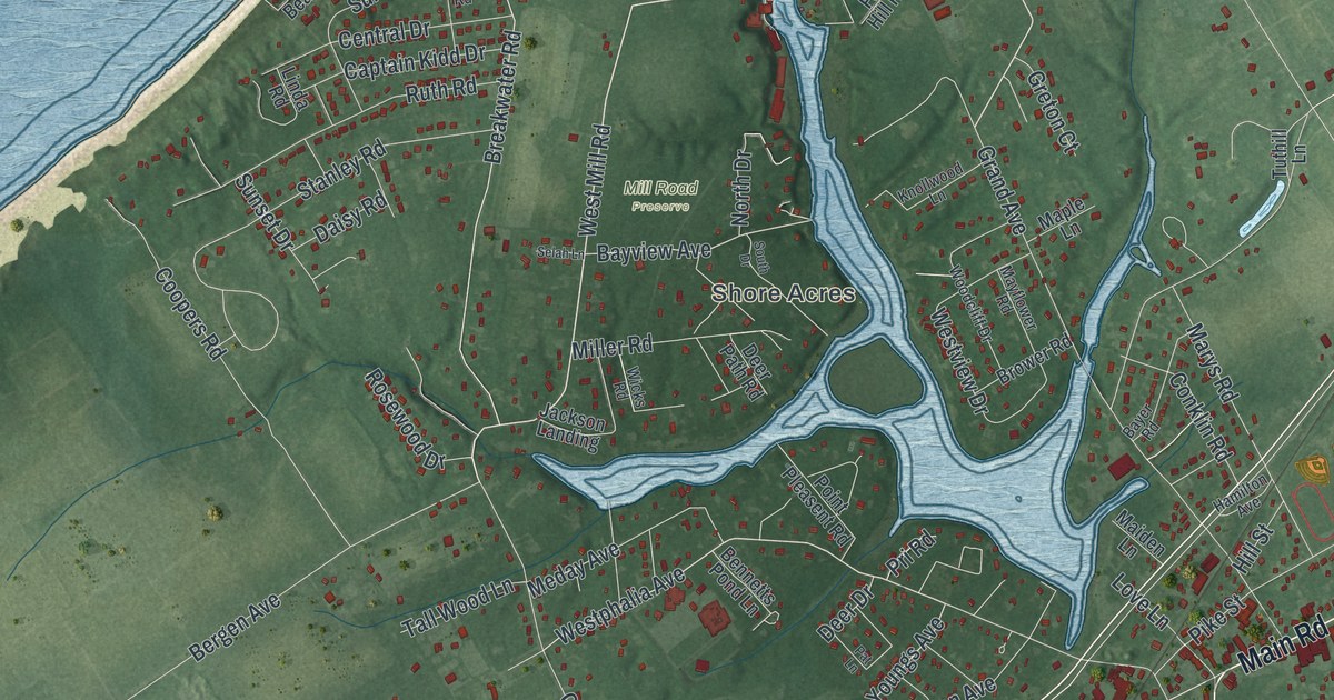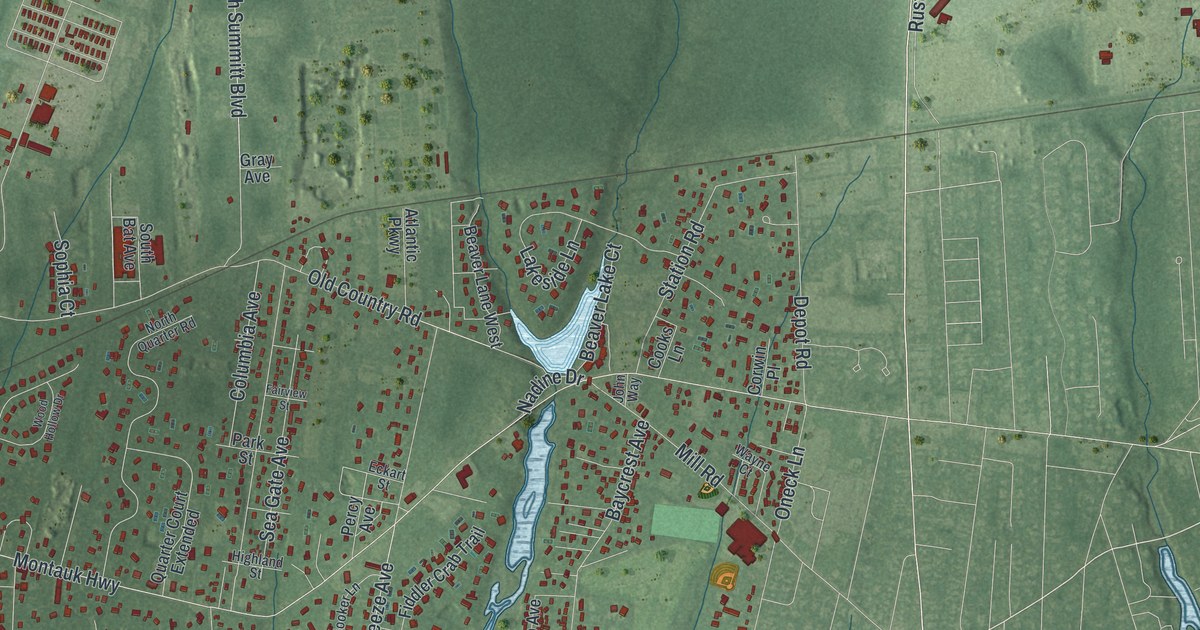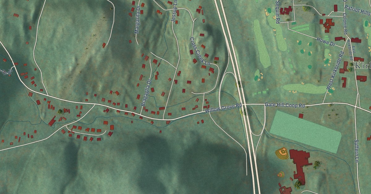
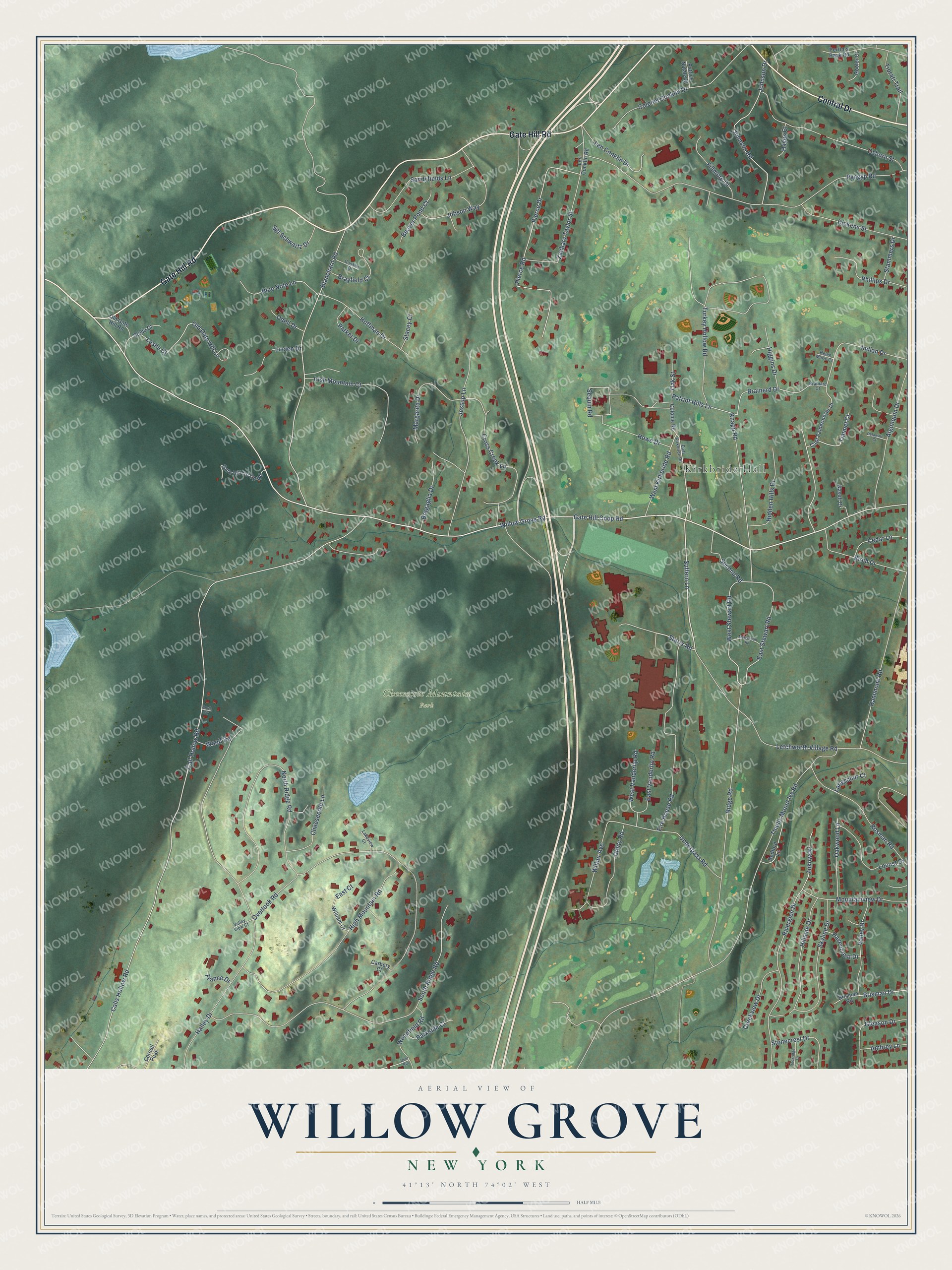
This beautifully detailed map of Willow Grove, New York was created in 2026 using aerial imagery combined with modern topographical, census, street and landmark data. It’s a one-of-a-kind view of Willow Grove that combines accurate data with a vintage aesthetic. The map shows every building in its true location, many of the roads carry their names, and the shaded topographic relief shows the shape of the land.
Explore an aerial view of Willow Grove, New York
On the map you’ll find Kirkbride Hall and Cheesecote Mountain Park, along with Gate Hill Road, Central Drive, Suffern Lane, Gate Hill Coop Road, Storrs Road, Willow Grove Road, Ridge Road, East Stewart Road, West Stewart Road, Patriot Hills Lane, and more. If you look closely you can even find your house accurately drawn in its correct location. Zoom in on the preview to look for yours.
Take a closer look at the Willow Grove map
Names on this map
These names are printed on this map.
Places: Kirkbride Hall and Cheesecote Mountain Park.
Streets and roads: Gate Hill Road, Central Drive, Suffern Lane, Gate Hill Coop Road, Storrs Road, Willow Grove Road, Ridge Road, East Stewart Road, West Stewart Road, Patriot Hills Lane, Brainerd Drive, Cross Creek Lane.
More street names, A to Z
Algonquin Drive, Ambrey Lane, Beaver Pond Court, Bedford Lane, Birch Drive, Blanchard Road, Blue Note Lane, Bragaglia Drive, Brainard Court, Brayfield Court, Brisman Drive, Brisman Road, Call Hollow Road, Calls Hollow Road, Capt Faldermeyer Drive, Carbery Court, Cedar Lane, Cheesecote Lane, Colonel Conklin Drive, Colonie Road, Conklin Drive, Cornell Peak, Creekview Drive, Deer Run, Delaware Court, Dickens Street, East Court, East Kirkbride Road, East Vanderlip Road, Fillmore Drive, Fire House Road, France Drive, Gate Hill Co Op Road, Gleason Drive, Gooler Court, Halley Drive, Hammond Road, Havencrest Drive, Hayes Court, Helen Marie Court, Hidden Hills Drive, Higgins Drive, High Mountain Road, Hillside Drive, Hoffman Drive, Howe Drive, Indian Drive, Irish Mountain Court, Jessup Lane, Jobson Way, Johnson Drive, Johnson Road, Knapp Road, Lakeview Court, Langschur Court, Len Conklin Drive, Len Conklin Road, Leslie Court, Letchworth Village Road, Locust Drive, Lucien Drive, Margarita Drive, Motivation Road, Mountainview Drive, Nasuti Drive, North Circle, North Ridge Road, Oak Street, Oakwood Lane, Odell Drive, Old Gate Hill Lane, Old Gate Hill Road, Osborn Street, Overlook Road, Parker Drive, Parkside Court, Patrick Natale Court, Perrin's Peak Road, Phillips Drive, Pierce Drive, Pierce Road, Pyngyp Road, Riverglen Drive, Rockridge Drive, Rosman Road, Sandyfields Lane, Second Road, Sequin Road, Sgt Schwartz Drive, Skyline Drive, South Ridge Road, Stacey Court, Stammers Drive, Stella Court, Stonecrest Drive, Thiells Mount Ivy Road, Timmel Court, Tiorati Trail, Turkey Hollow Road, Underpass Road, Utility Road, Valley Drive, Valley View Court, West Kirkbride Road, West Vanderlip Road, Wilbur Avenue, William Court, Woodfield Road, Woolf Road, Zachary Taylor Street, Zukowski.
See it on a wall
The Willow Grove map as a framed print. Swipe for more.


This beautifully detailed map of Willow Grove makes an attractive addition to your office, library, or den, and it can even be used to teach children the geography and history of the area. It also makes a great gift for anyone who grew up in Willow Grove or moved away. When you’re done exploring, click here to get your copy of the Willow Grove map.