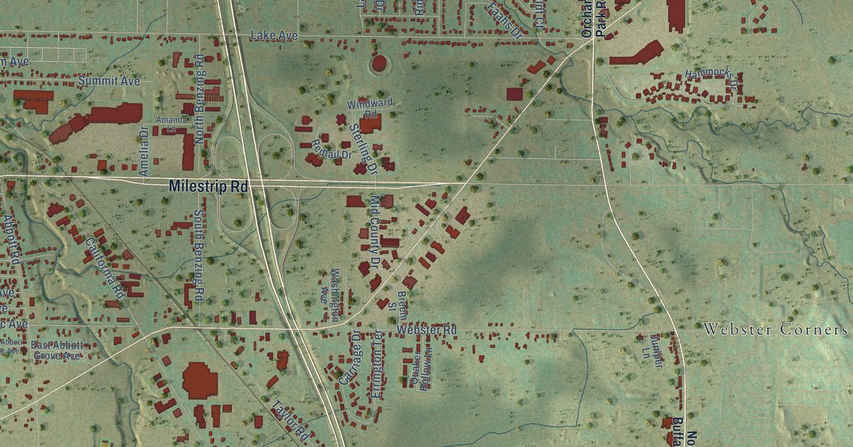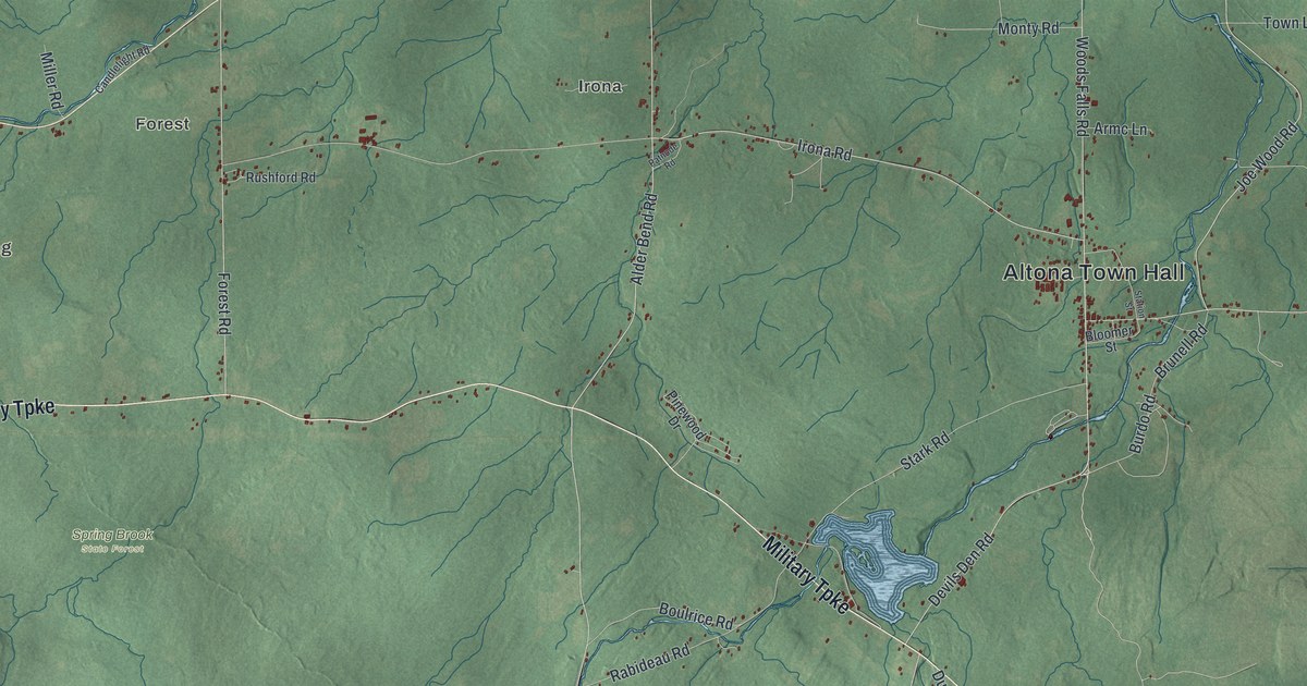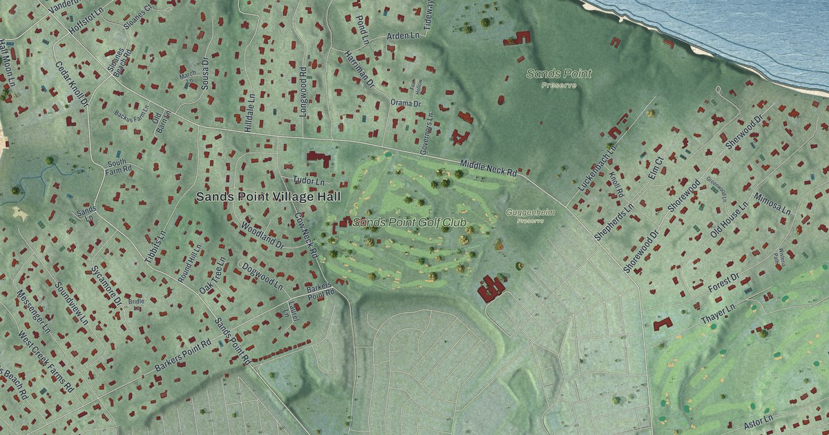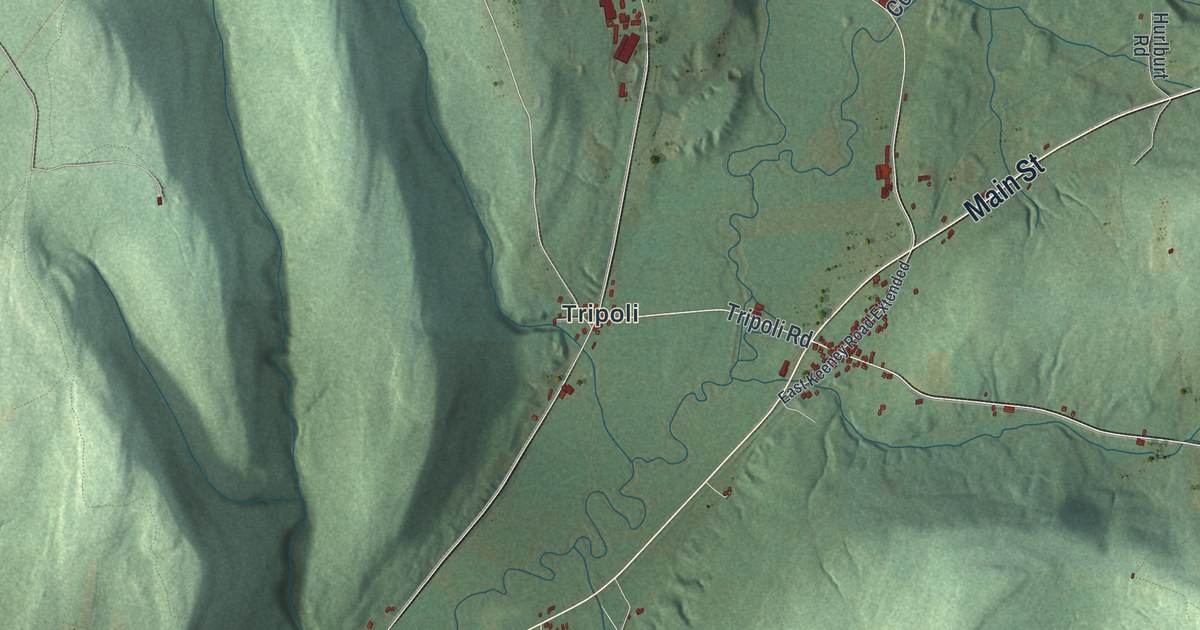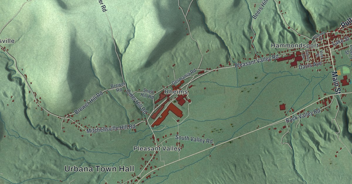
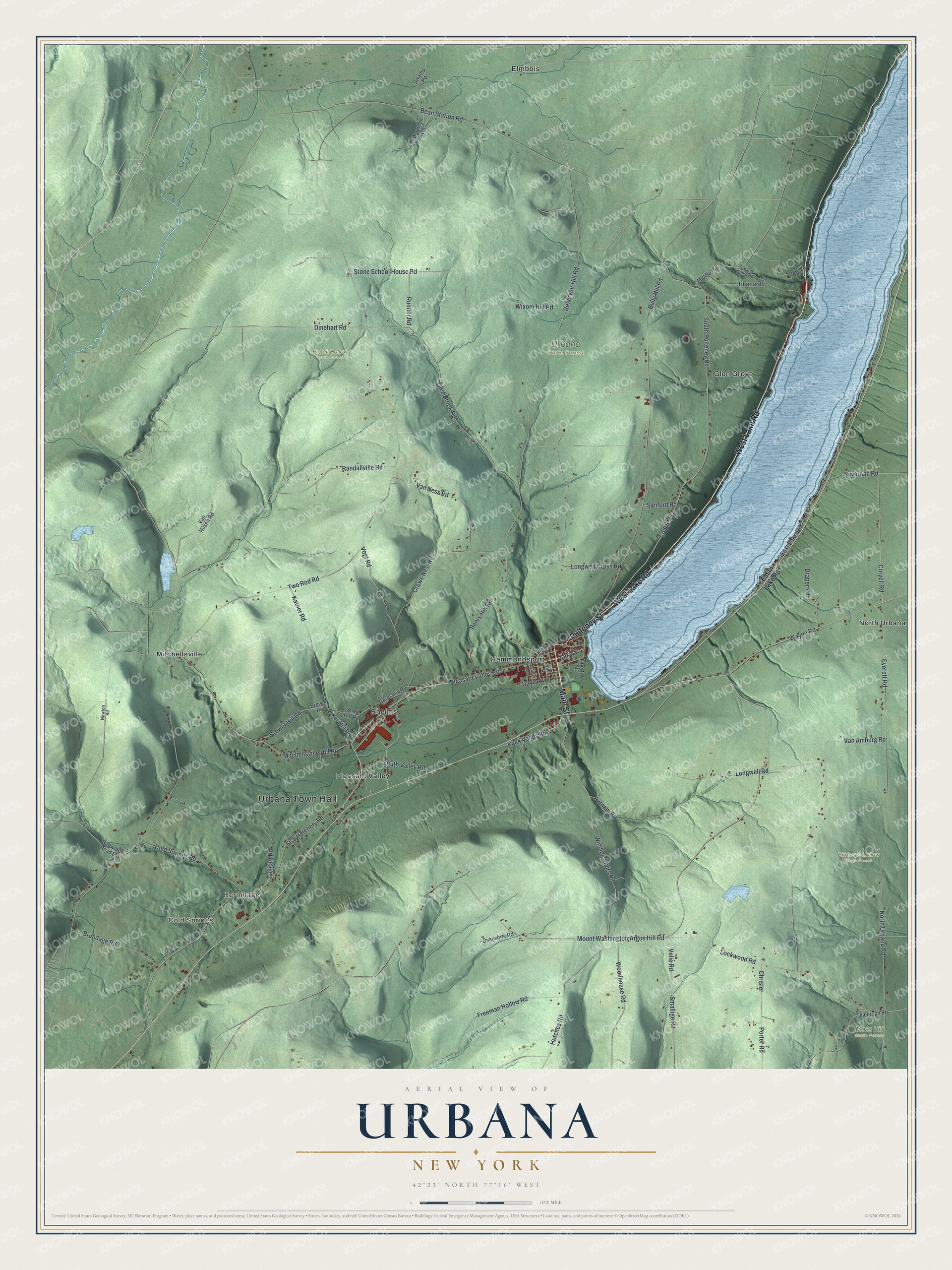
This beautifully detailed map of Urbana, New York was created in 2026 using aerial imagery combined with modern topographical, census, street and landmark data. It’s a one-of-a-kind view of Urbana that combines accurate data with a vintage aesthetic. The map shows every building in its true location, many of the roads carry their names, and the shaded topographic relief shows the shape of the land.
Explore an aerial view of Urbana, New York
On the map you’ll find Urbana Town Hall, Cold Springs, Hermitage, Elmbois, Glen Grove, Hammondsport, Birdseye Hollow State Forest, Moss Hill State Forest, and Pigtail Hollow State Forest, along with Lake Road, Main Street, Pulteney Street, Lake Street, and more. If you look closely you can even find your house accurately drawn in its correct location. Zoom in on the preview to look for yours.
Did You Know?
Urbana and its village of Hammondsport are known as a birthplace of flight, thanks to the inventions of Glenn Curtiss. The town also helped launch New York wine. Its first grape vines went into the ground around 1829, and the wine trade grew from there.
Take a closer look at the Urbana map
Names on this map
These names are printed on this map.
Places: Urbana Town Hall, Cold Springs, Hermitage, Birdseye Hollow State Forest, Moss Hill State Forest, Pigtail Hollow State Forest, Urbana State Forest, Elmbois, Glen Grove, Hammondsport, Mitchellsville, North Urbana, Pleasant Valley and Rheims.
Streets and roads: West Lake Road, Main Street, Pulteney Street, Pleasant Valley Road, Lake Street, East Lake Road, Reservoir Hill Road, North Urbana Road, Smallige Road, Dinehart Road, Stone School House Road, Lockwood Road.
More street names, A to Z
Back Valley Road, Bean Station Road, Beers Hill Road, Brewer Hill Road, Brewer Road, Brundage Road, Bully Hill Road, Chrisler, Cider Hill Road, Cold Springs Road, Coryell Road, County Route 76, Crows Nest Road, Curtiss Avenue, Davis Avenue, Draper Road, Everett Road, Fish Hatchery Road, Freeman Hollow Road, Germania Road, Glen Brook Road, Gold Seal Way, Hutches Road, Katner Road, Liberty Street, Longwell Cross Road, Longwell Road, Middle Road, Mitchellsville Hill Road, Mountain Road, Mount Washington Argus Hill Road, Newton Road, Ovenshire Road, Porter Road, Putnam Road, Randallville Road, Runner Road, Sanford Road, Silvernail Road, Snell Hill Road, Softwater Road Extension, Sonora Road, South Pulteney Road, South Valley Road, Swamp Road, Taggart Road, Telegraph Road, Two Rod Road, Urbana Gulch Road, Urbana Road, Van Amburg Road, Van Husen Road, Van Ness Road, Velie Road, Vine Street, Vogt Road, Wayne Road, Winding Stairs Road, Wixom Hill Road, Woodhouse Road.
See it on a wall
The Urbana map as a framed print. Swipe for more.


This beautifully detailed map of Urbana makes an attractive addition to your office, library, or den, and it can even be used to teach children the geography and history of the area. It also makes a great gift for someone who left Urbana and still calls it home. When you’re done exploring, click here to get your copy of the Urbana map.