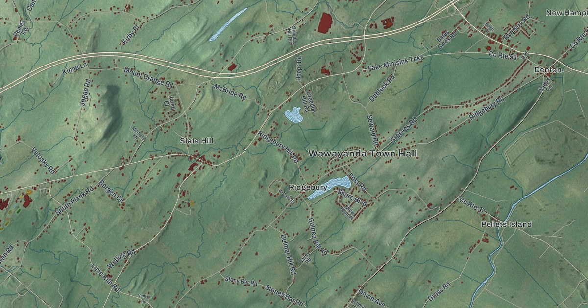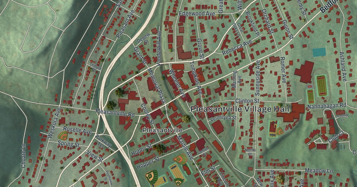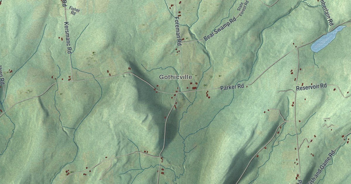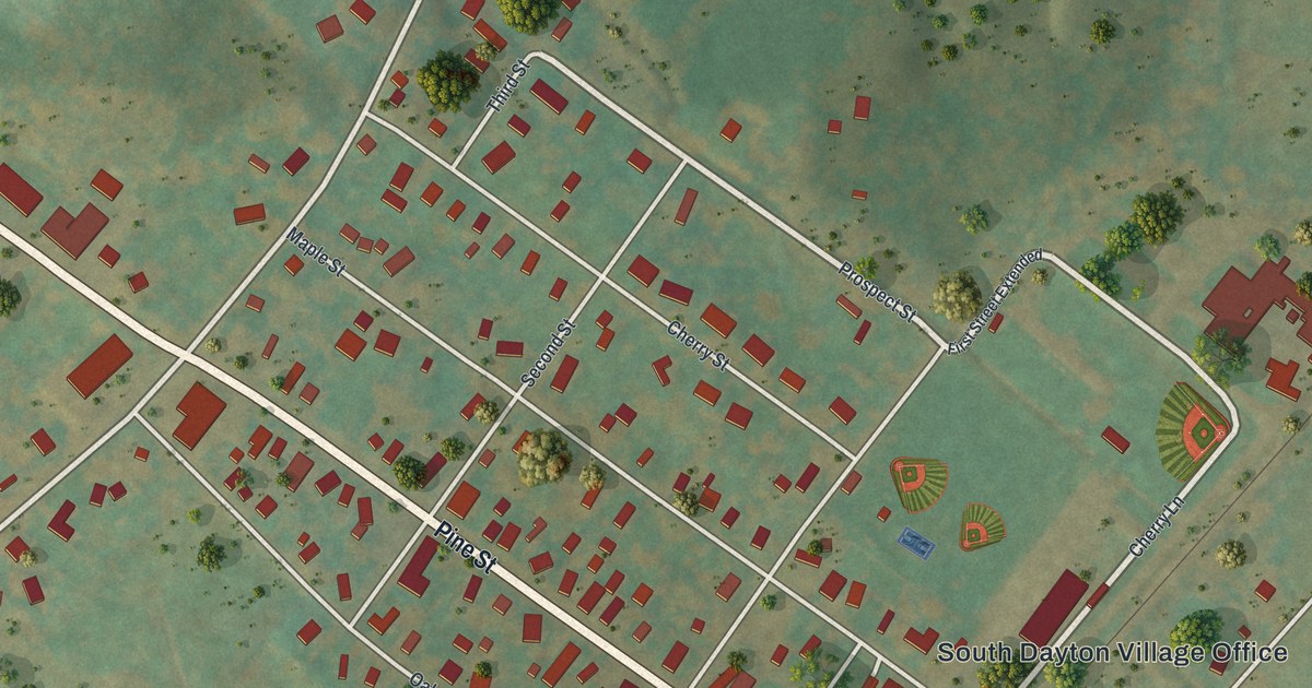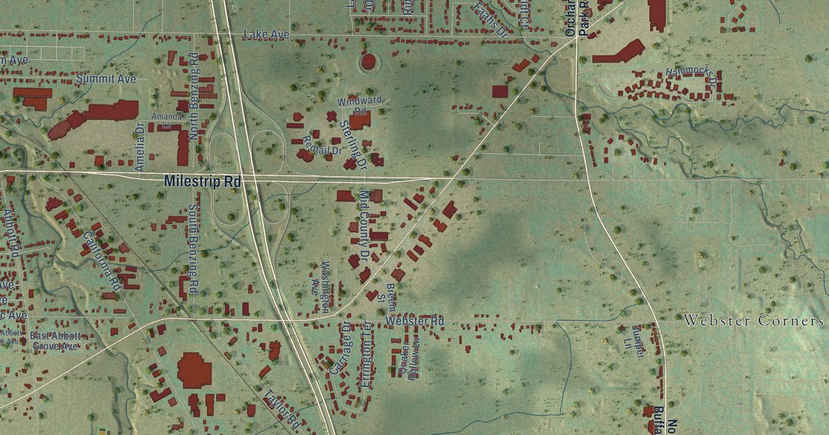
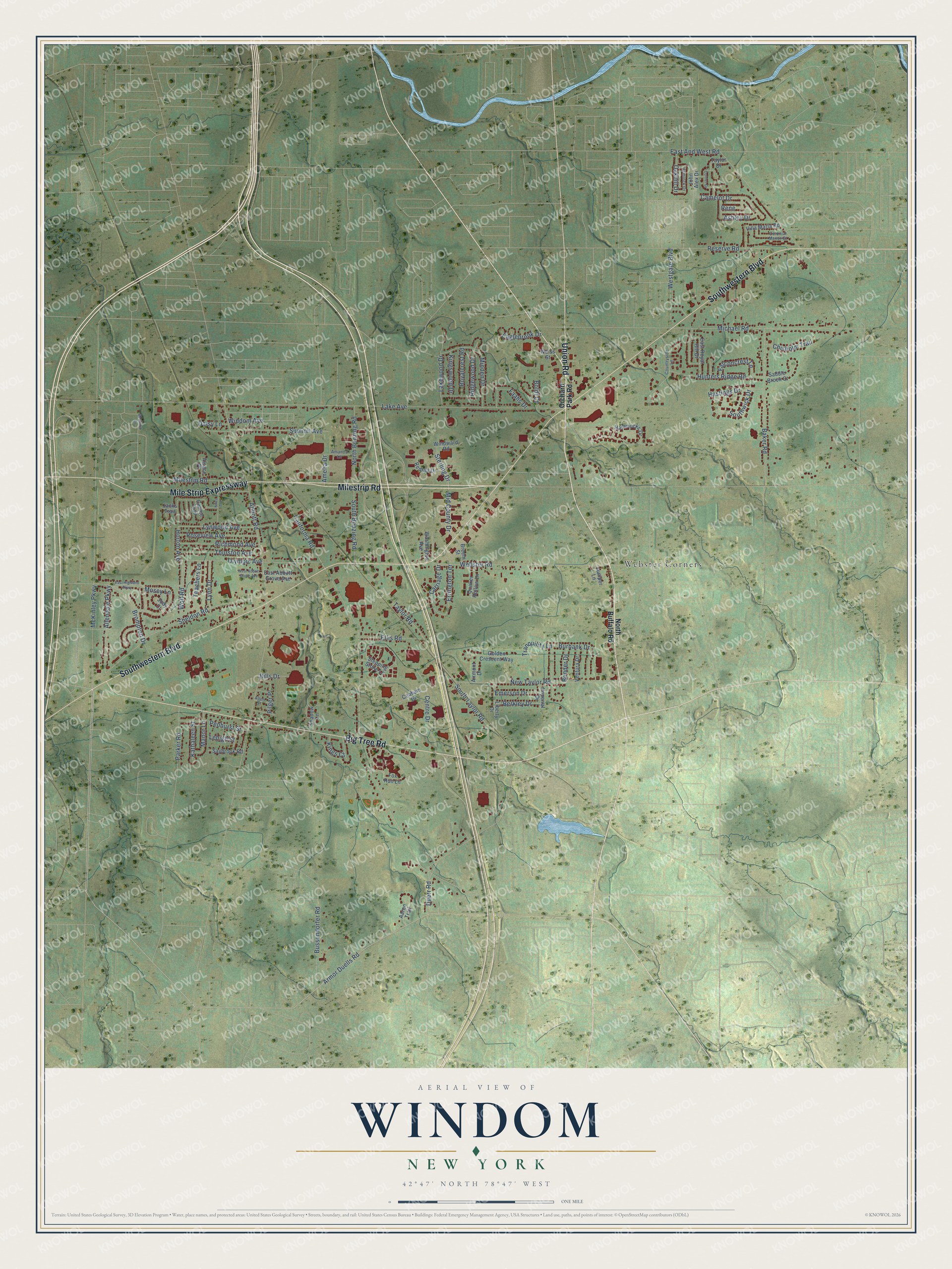
This beautifully detailed map of Windom, New York was created in 2026 using aerial imagery combined with modern topographical, census, street and landmark data. It’s a one-of-a-kind view of Windom that combines accurate data with a vintage aesthetic. The map shows every building in its true location, many of the roads carry their names, and the shaded topographic relief shows the shape of the land.
Explore an aerial view of Windom, New York
On the map you’ll find Webster Corners, along with Union Road, Milestrip Road, Mile Strip Expressway, Southwestern Boulevard, Big Tree Road, Armor Duells Road, Lynwood Avenue, Horton Avenue, Centre Drive, California Road, Lake Avenue, and more. If you look closely you can even find your house accurately drawn in its correct location. Zoom in on the preview to look for yours.
Did You Know?
From Internet Archive: "On the first ballot Grant had 304 votes, Blaine 284, Sherman 93, Edmunds 34, Washburne 30, Windom 10."
Windom is a community in Erie County.
Take a closer look at the Windom map
Names on this map
These names are printed on this map.
Places: Webster Corners.
Streets and roads: Union Road, Milestrip Road, Mile Strip Expressway, Southwestern Boulevard, Big Tree Road, Armor Duells Road, Lynwood Avenue, Horton Avenue, Centre Drive, California Road, Lake Avenue, Abbott Road.
More street names, A to Z
Aaron Trail, Airmont Drive, Allendale Parkway, Allen Street, Alsace Place, Amanda Lane, Amelia Drive, Ashley Drive, Baker Road, Bender Drive, Berkley Drive, Bethford Drive, Bills Drive, Boldt Court, Breem Street, Brompton Drive, Burbank Drive, Bussendorfer Road, Camelot Drive, Carriage Drive, Chisholm Trail, Cobham Drive, Colonial Manor Court, Conner Drive, Connie Trail, Countryside Lane, Daisy Lane, Duerr Road, Eaglebrook Drive, East Abbott Grove Avenue, East And West Road, East Highland Parkway, East Royal Hill Drive, Ellis Road, Emerson Drive, Errington Terrace, Faahs Drive, Falconcrest Lane, Fox Run Lane, Golden Crescent Way, Hammocks Drive, Hastings Drive, Hemlock Drive, Hunters Ridge Road, Imperial Drive, Jacks Trail, Jody Court, John Alex Drive, Juniper Lane, Kathaleen Street, Kings Court, Kingswood Drive, Lakewood Drive, Lehigh Street, Liberty Drive, Lynn Drive, Manor Lane, McKinley Parkway, Michael Road, Mid County Drive, Minden Drive, Mosey Lane, New Taylor Road, Niles Avenue, North Benzing Road, North Buffalo Road, Oakhill Drive, Olympic Avenue, Orchard Park Road, Parker Road, Penhurst Street, Pilger Place, Quaker Hollow Lane, Redtail Drive, Rene, Reserve Road, Richmond Avenue, Ridgewood Drive, Roseview Avenue, Royalcrest Road, Saddle Brook Court, Saybrook Road, Shadow Lane, Sheldon Road, South Benzing Road, South Taylor Road, Southwick Drive, Stepping Stone Lane, Sterling Drive, Summit Avenue, Taylor Drive, Taylor Road, Teachers Lane, Thurston Avenue, Tranquility Lane, Ventura Drive, Villa Maria Road, Washington Avenue, Webster Road, Weiss Street, West Abbott Grove Avenue, Westgate Boulevard, Windom Avenue, Windward Road, Wolf Road.
See it on a wall
The Windom map as a framed print. Swipe for more.


This beautifully detailed map of Windom makes an attractive addition to your office, library, or den, and it can even be used to teach children the geography and history of the area. It also makes a great gift for anyone with Windom roots. When you’re done exploring, click here to get your copy of the Windom map.