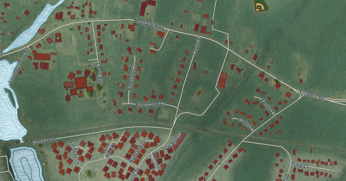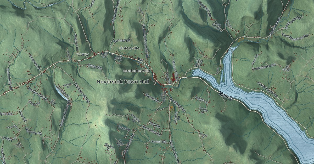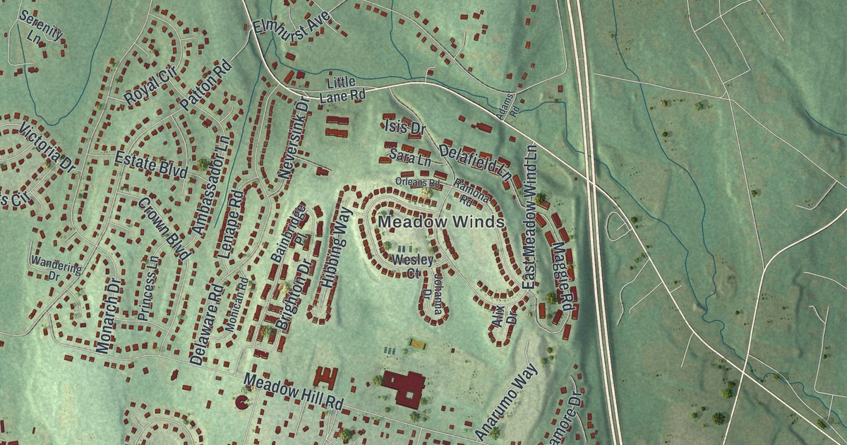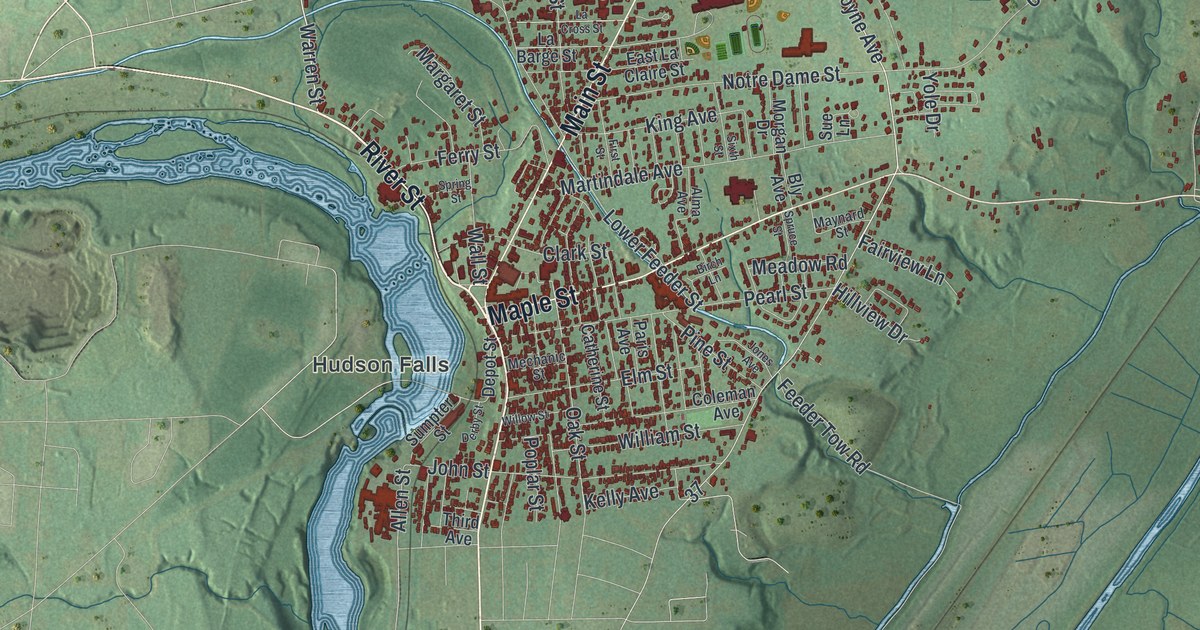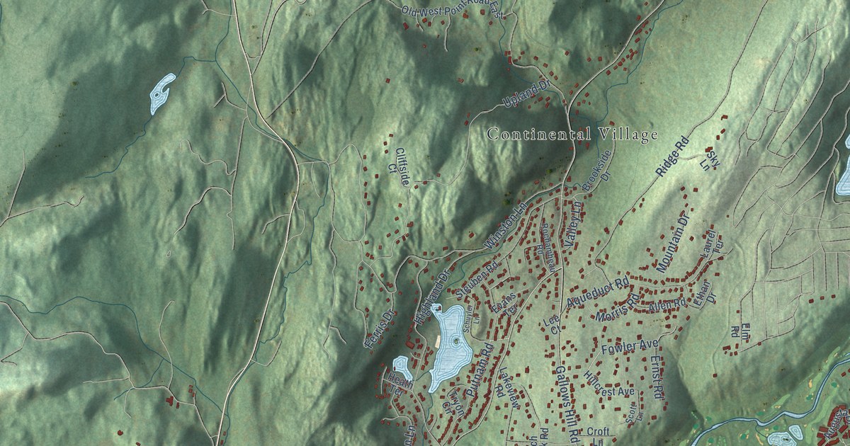
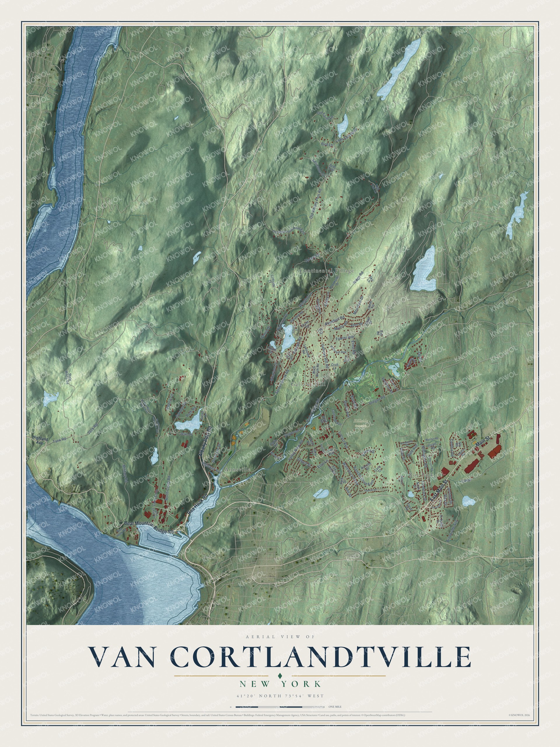
This beautifully detailed map of Van Cortlandtville, New York was created in 2026 using aerial imagery combined with modern topographical, census, street and landmark data. It’s a one-of-a-kind view of Van Cortlandtville that combines accurate data with a vintage aesthetic. The map shows every building in its true location, many of the roads carry their names, and the shaded topographic relief shows the shape of the land.
Explore an aerial view of Van Cortlandtville, New York
On the map you’ll find Hillside Cemetery, Continental Village, Annsville, Roe Park, and Gallows Hill, along with East Main Street, Main Street, Albany Post Road, Bear Mountain Bridge Road, Roa Hook Road, Sprout Brook Road, Jay Road, and more. If you look closely you can even find your house accurately drawn in its correct location. Zoom in on the preview to look for yours.
Did You Know?
From Internet Archive: "Peter's Church of the Manor of Cortlandt was built at Van Cortlandtville, about two miles northeast of Peekskill."
Van Cortlandtville is a community in Westchester County.
Take a closer look at the Van Cortlandtville map
Names on this map
These names are printed on this map.
Places: Hillside Cemetery, Continental Village, Annsville, Roe Park and Gallows Hill.
Streets and roads: East Main Street, Main Street, Albany Post Road, Bear Mountain Bridge Road, Roa Hook Road, Sprout Brook Road, Jay Road, Gallows Hill Road, North Camp Road, Eton Lane, Fowler Avenue, Old Albany Post Road.
More street names, A to Z
Aberdeen Road, Adair Road, Adrienne Lane, Allan Street, Allen Road, Ann Street, Aqueduct Road, Augusta Drive, Beverly Road, Birch Brook Road, Bird Lane, Brook Place, Brookside Avenue, Brookside Drive, Camp Smith, Camp Smith Drive, Canal, Carly Court, Carolyn Drive, Clara Court, Cliffside Court, Cortlandt Avenue, Crescent Drive, Croft Lane, Cynthia Road, Dale Avenue, Deer Trail, Di Rubbo Drive, Dogwood Road, Doris Lee Drive, Durrin Avenue, Elm Road, Ely Road, Enrico Drive, Ernst Road, Ethan Drive, Evans Terrace, Ferris Drive, Floral Road, Fox Hill Road, Frederick Street, Gabriel Drive, Gilbert Street, Heady Street, Heath Terrace, Highland Avenue, Highland Drive, Hillcrest Avenue, Jack Road, Jean Drive, Jefferson Road, Jerome Drive, Lake Celeste Drive, Lakeview Road, Laurel Terrace, Laurie Road, Lee Court, Locust Avenue, Marilyn Road, Military Road, Millington Road, Morris Road, Mountain Drive, North Street, Ny Military Reservation Sthy, Ny State Military Reservation, Old Farm Lane, Old West Point Road East, Oregon Road, Park Drive, Pump House Road, Putnam Road, Radio Terrace, Rancho Drive, Rancho Drive East, Red Oak Lane, Richmond Place, Ridge Road, Rita Drive, Rochambeau Road, Rush Road, Ruth Road, Schuyler Lane, Scott Lane, Sky Lane, Smith Road, State Militia Road, Steuben Road, Stuart Road, Susan Lane, Tank Road, The Oval, Tryon Circle, Upland Drive, Valerie Lane, Valley Lane, Valley View Road, Waterbury Parkway, Wharton Lane, Wilcox Lane, Winston Lane.
See it on a wall
The Van Cortlandtville map as a framed print. Swipe for more.


This beautifully detailed map of Van Cortlandtville makes an attractive addition to your office, library, or den, and it can even be used to teach children the geography and history of the area. It also makes a great gift for someone who left Van Cortlandtville and still calls it home. When you’re done exploring, click here to get your copy of the Van Cortlandtville map.