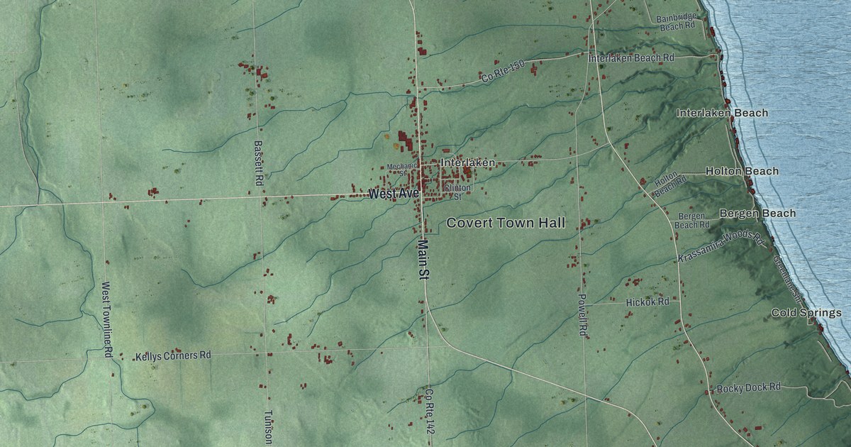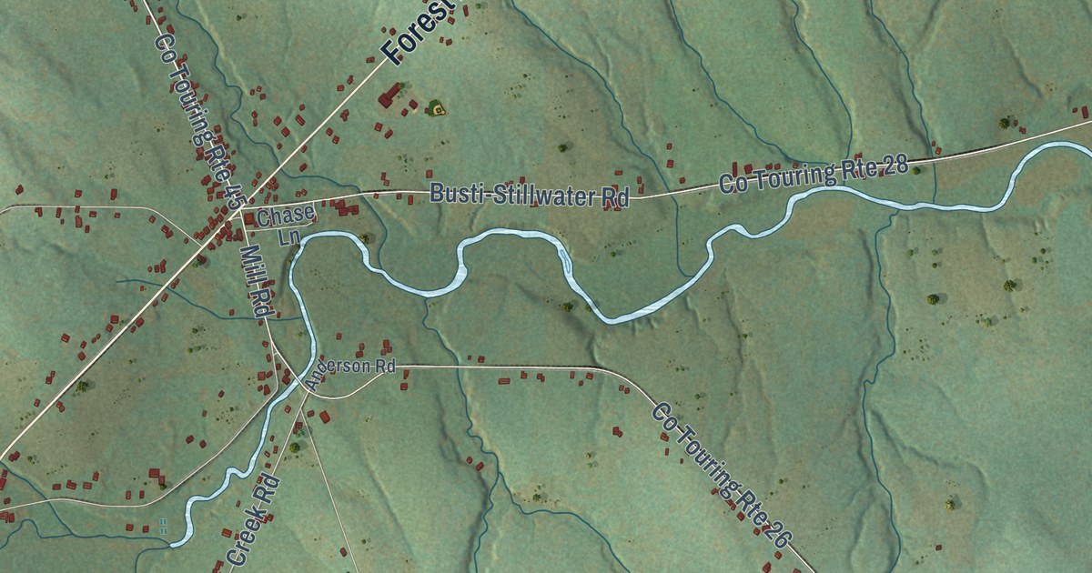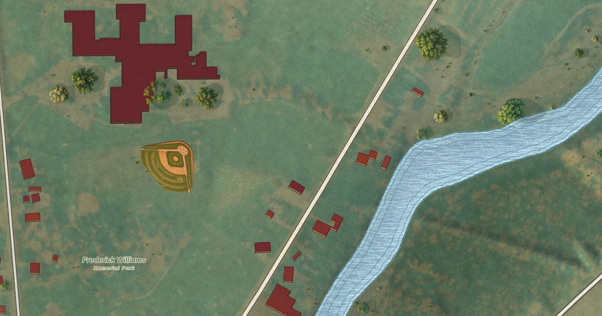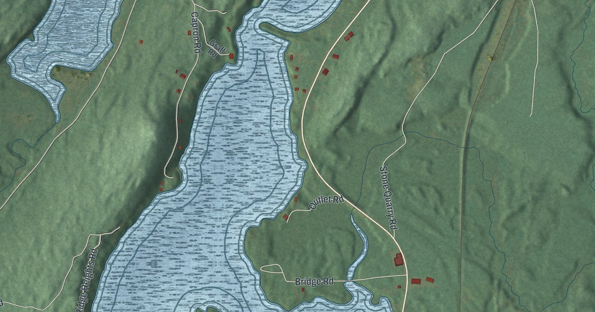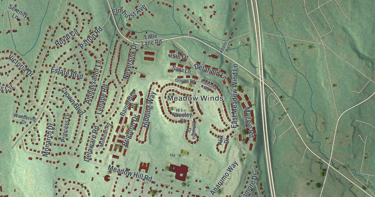
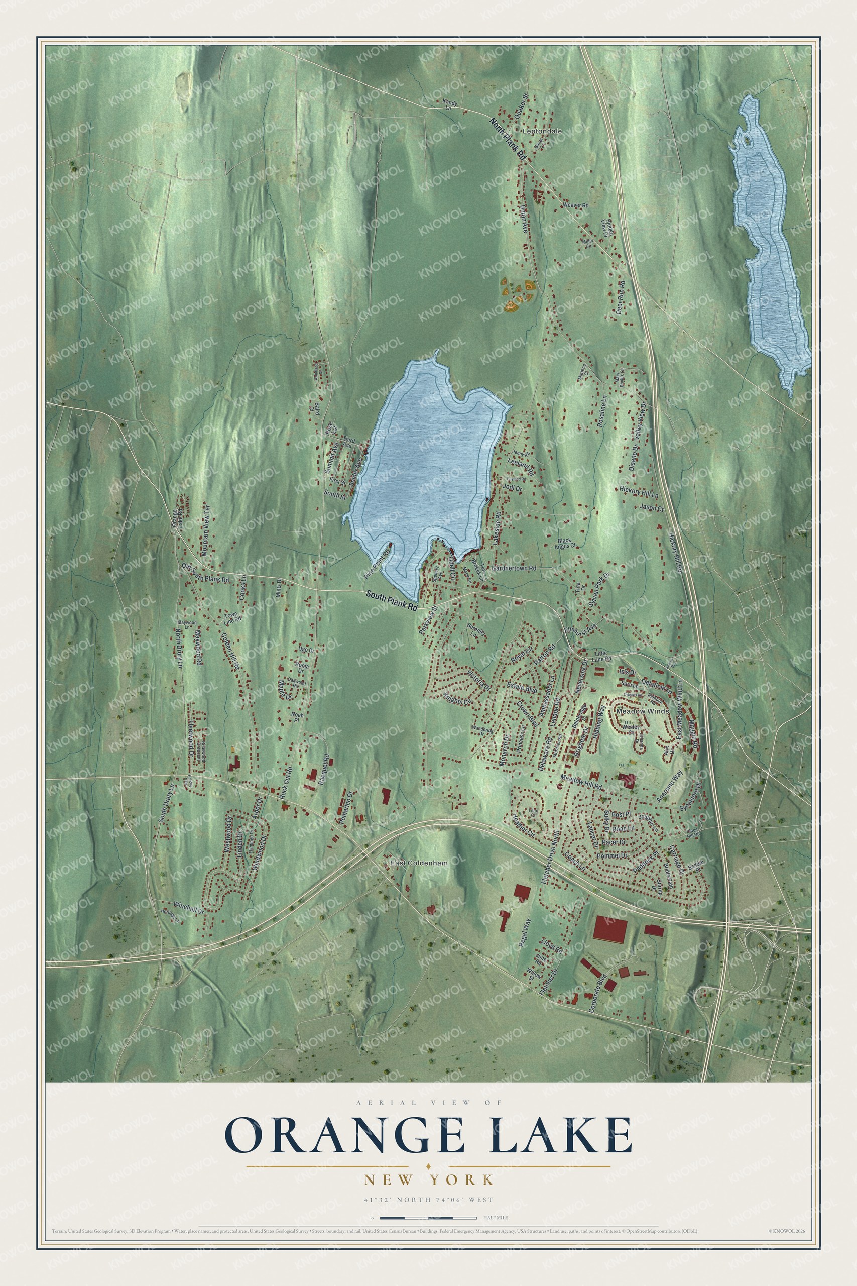
This beautifully detailed map of Orange Lake, New York was created in 2026 using aerial imagery combined with modern topographical, census, street and landmark data. It’s a one-of-a-kind view of Orange Lake that combines accurate data with a vintage aesthetic. The map shows every building in its true location, many of the roads carry their names, and the shaded topographic relief shows the shape of the land.
Explore an aerial view of Orange Lake, New York
On the map you’ll find Leptondale, East Coldenham, and Meadow Winds, along with Plank Road, Westwood Drive, Linden Drive, Union Avenue, Summit Avenue, and more. If you look closely you can even find your house accurately drawn in its correct location. Zoom in on the preview to look for yours.
Did You Know?
During the Revolutionary War, Captain Thomas Machin ran a saw mill, a grist mill and a mint here. They stood where the lake’s outlet stream begins. People then called the lake Machin’s Pond. In the 1830s a local minister, James R. Willson, began calling it Orange Lake, and the name stuck.
Take a closer look at the Orange Lake map
Names on this map
These names are printed on this map.
Places: Leptondale, East Coldenham, Meadow Winds and Holiday Park.
Streets and roads: North Plank Road, South Plank Road, Westwood Drive, Linden Drive, Union Avenue, Summit Avenue, Arbor Drive, Lakeside Road, Rock Cut Road, Meadow Hill Road, North Drury Lane, Colden Hill Road.
More street names, A to Z
Adams Road, Alix Drive, Ambassador Lane, Anarumo Way, Bainbridge Place, Baird Court, Bauer Lane, Black Angus Court, Briarwood Crescent, Bridle Path, Brighton Drive, Carriage Drive, Coach Lane, Cooks Lane, Corporate Boulevard, Crown Boulevard, Deer Run Road, Delafield Lane, Delaware Road, Disano Drive, East Meadow Wind Lane, Elmhurst Avenue, Estate Boulevard, First Street, Flamingo Drive, Fleetwood Drive, Fletcher Drive, Fletcher Drive North, Gardnertown Road, Heather Circle, Heritage Lane, Hibbing Way, Hickory Hill Lane, Hickory Hill Road, Hidden View Drive, Isis Drive, Jason Court, Jenny Road, Jodi Drive, Jodphur Lane, Johanna Drive, June Road, Kandy Lane, Knights Circle, Lancer Drive, Leeland Road, Lenape Road, Lilac Court, Little Lane Road, Lloyd Road, Mace Circle, Maggie Road, Maple Drive, Marlene Court, Mary Phyllis Lane, Maywood Lane, Maywood Road, Miller Circle, Mintz Drive, Mohican Road, Monarch Drive, Mountain View Terrace, Neversink Drive, Noah Place, Oakwood Road, Odell Circle, Old South Plank Road, Orange Lake Road, Orleans Road, Pacer Drive, Paddock Place, Parkview Street, Patton Road, Pine Point Road, Place Hill Road, Pomarico Drive, Pommel Drive, Post Place, Princess Lane, Quaker Street, Racquet Road, Ramona Road, Rayland Road, Regal Way, Roan Lane, Roma Drive, Rosaline Lane, Rose Est, Royal Circle, Saddle Place, Sara Lane, Serenity Lane, Snider Avenue, South Drury Lane, South Street, Spencer Avenue, Stirrup Drive, Sulky Drive, Sycamore Drive, Sylvan Park Drive, Ten Broeck Lane, Third Avenue, Tina Drive, Town Line Road, Ugo Drive, Valley View Drive, Victoria Drive, Wandering Drive, Weaver Road, Wesley Court, Willow Street, Winchell Drive, Windwood Drive, Woodland Drive.
See it on a wall
The Orange Lake map as a framed print. Swipe for more.


This beautifully detailed map of Orange Lake makes an attractive addition to your office, library, or den, and it can even be used to teach children the geography and history of the area. It also makes a great gift for someone who left Orange Lake and still calls it home. When you’re done exploring, click here to get your copy of the Orange Lake map.