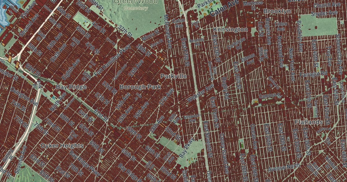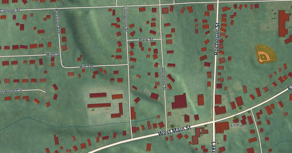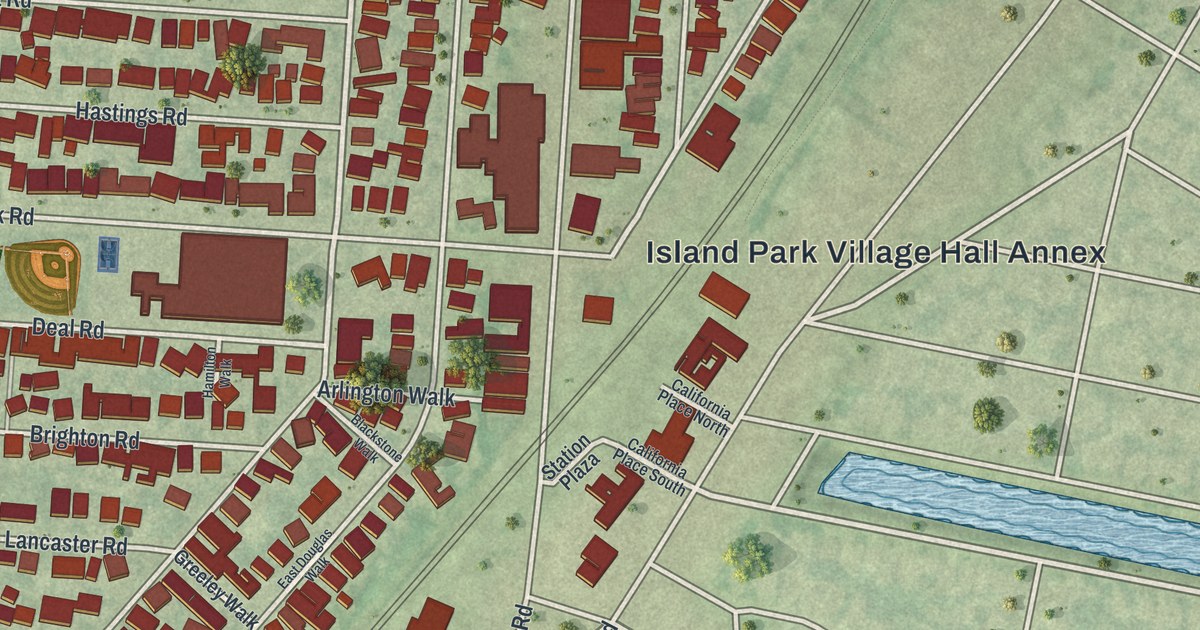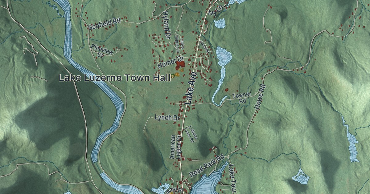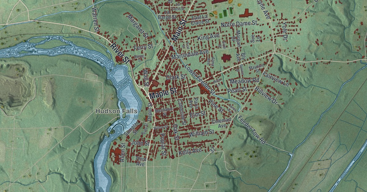
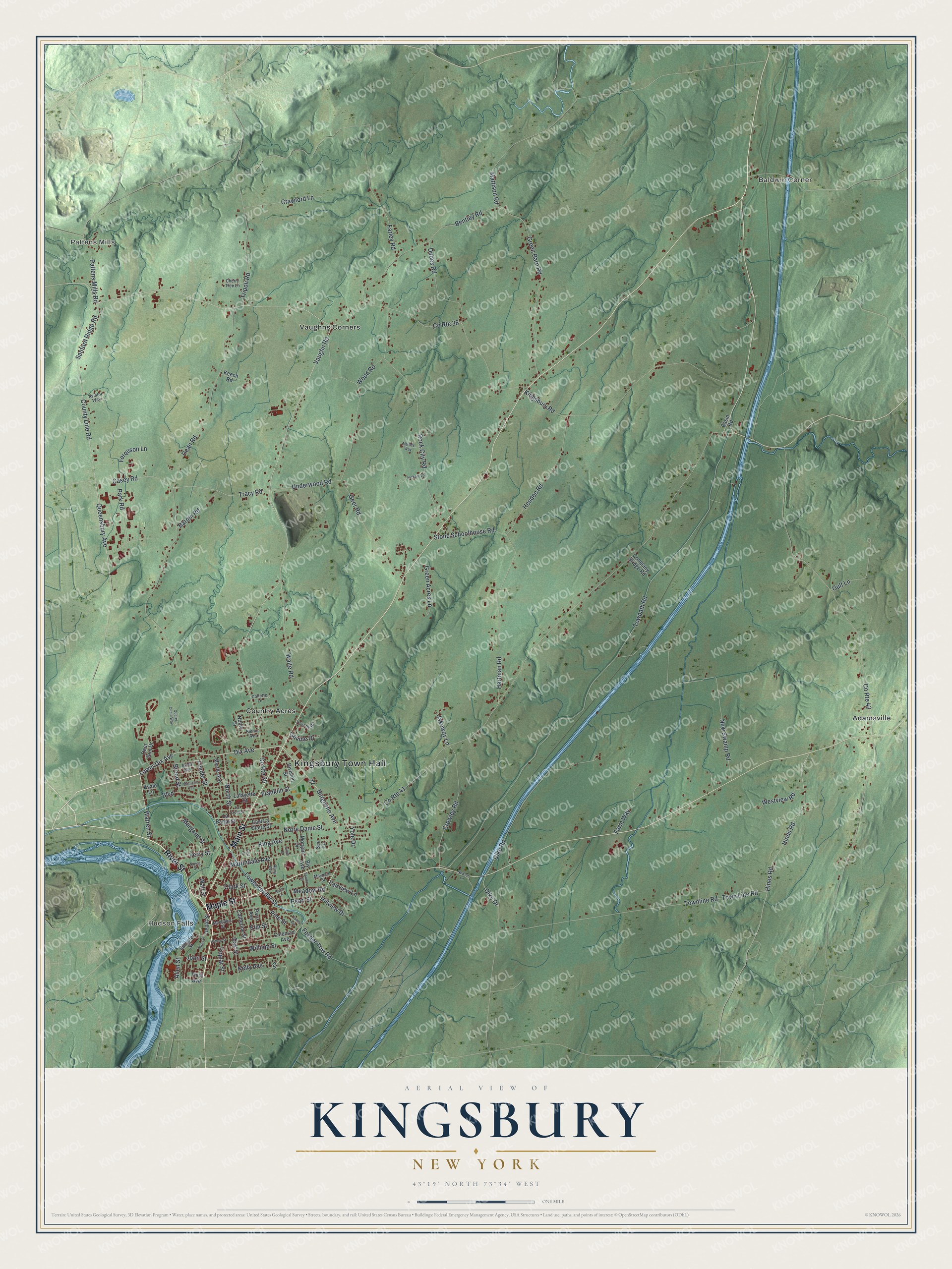
This beautifully detailed map of Kingsbury, New York was created in 2026 using aerial imagery combined with modern topographical, census, street and landmark data. It’s a one-of-a-kind view of Kingsbury that combines accurate data with a vintage aesthetic. The map shows every building in its true location, many of the roads carry their names, and the shaded topographic relief shows the shape of the land.
Explore an aerial view of Kingsbury, New York
On the map you’ll find Kingsbury Town Hall, Pattens Mills, Baldwin Corner, Hudson Falls, Adamsville, and Country Acres, along with Main Street, River Street, Maple Street, Warren Street, and more. If you look closely you can even find your house accurately drawn in its correct location. Zoom in on the preview to look for yours.
Did You Know?
King George III granted a charter for the Township of Kingsbury on May 11, 1762. Its name came from a small parish at the western edge of London. James Bradshaw was the first settler. Albert Baker came next and built a sawmill at what is now Baker’s Falls.
Take a closer look at the Kingsbury map
Names on this map
These names are printed on this map.
Places: Kingsbury Town Hall, Pattens Mills, Baldwin Corner, Hudson Falls, Adamsville, Country Acres and Vaughns Corners.
Streets and roads: Main Street, River Street, Maple Street, Warren Street, Dix Avenue, Burgoyne Avenue, Lower Dix Avenue, Vaughn Road, County Route 35, Dean Road, Tracy Road, Pattens Mills Road.
More street names, A to Z
Allen Street, Alma Avenue, Aviator Way, Bardin Road, Basin Road, Bentley Road, Birch Lane, Blenor Avenue, Bly Avenue, Boulevard, Broad Street, Casey Road, Catherine Street, Cherry Tree Lane, Clark Street, Coleman Avenue, Collette Lane, Company Bridge Road, County Line Road, County Route 36, County Route 41, County Route 43, Crawford Lane, Crowley Road, Deer Run Drive, Depot Street, Derby Street, Devine Drive, Dike Drive, Dike Road, Division Street, Dubes Road, East La Claire Street, Elm Street, Fairview Lane, Farley Road, Farm Way, Feeder Street, Feeder Tow Road, Ferquson Lane, Ferry Street, First Street, Franklin Street, Geer Road, Green Acres Lane, Green Barn Road, Gulf Lane, Hartman Road, Hendee Road, Hickory Lane, Hillview Drive, Hinds Road, Hines Road, Jakeway Lane, John Street, Jones Avenue, Keech Road, Kelly Avenue, King Avenue, Kingsbury Road, Kvale Lane, La Barge Street, La Cross Street, Lafayette Street, Lower Feeder Street, Manley Way, Margaret Street, Martindale Avenue, Mattison Road, Maynard Street, Meadow Road, Mechanic Street, Mohican Terrace, Morgan Drive, Myrtle Avenue, New Swamp Road, Newton Lane, Ninth Avenue, Noble Drive, North Street, Notre Dame Street, Oak Street, Paris Avenue, Park Road, Pearl Street, Pine Street, Poplar Street, Poverty Road, Quarry Circle Way, Queensbury Avenue, Rock City Road, Sanford Ridge Road, Sixth Street, Spring Street, Spruce Street, Stone Schoolhouse Road, Sue Lane, Sumpter Street, Third Avenue, Townline Road, Town Line Road, Towpath Road, Tripoli Road, Underwood Road, Waite Road, Wall Street, Westview Road, William Street, Willow Street, Wood Road, Yole Drive.
See it on a wall
The Kingsbury map as a framed print. Swipe for more.


This beautifully detailed map of Kingsbury makes an attractive addition to your office, library, or den, and it can even be used to teach children the geography and history of the area. It also makes a great gift for anyone with Kingsbury roots. When you’re done exploring, click here to get your copy of the Kingsbury map.