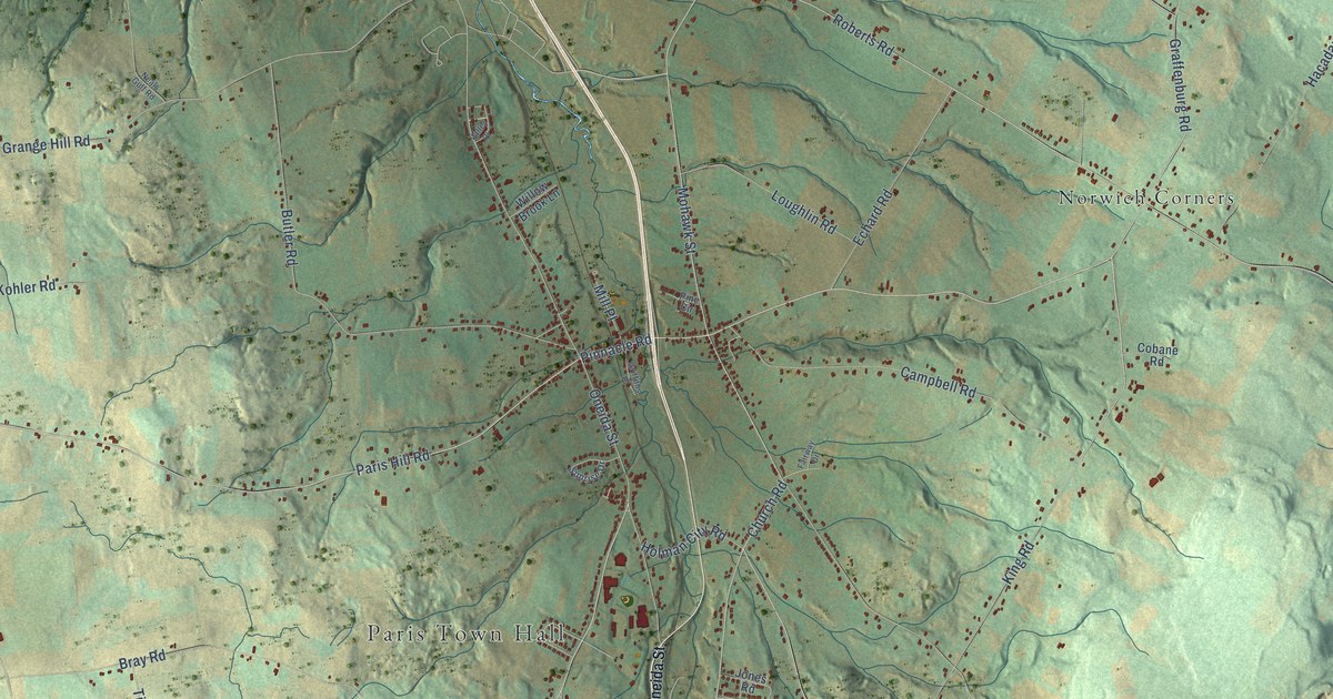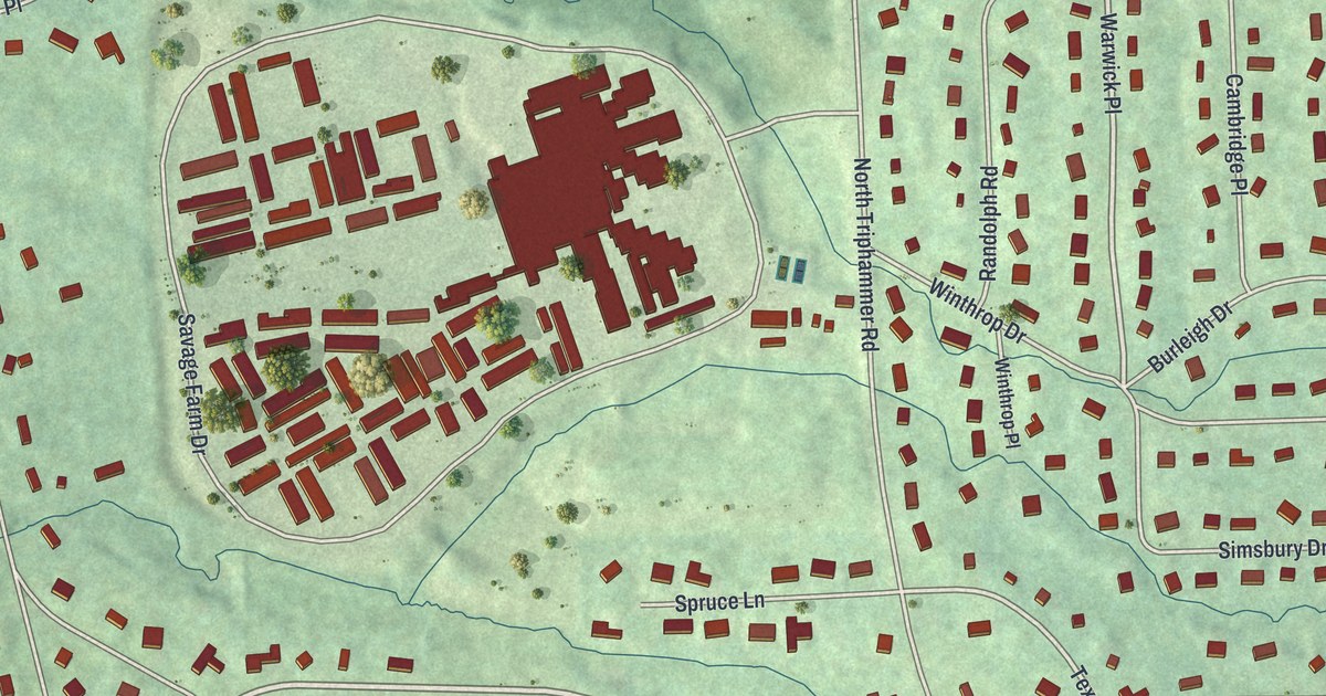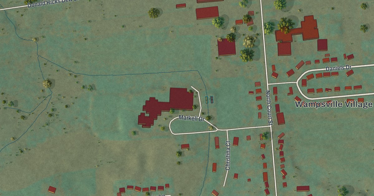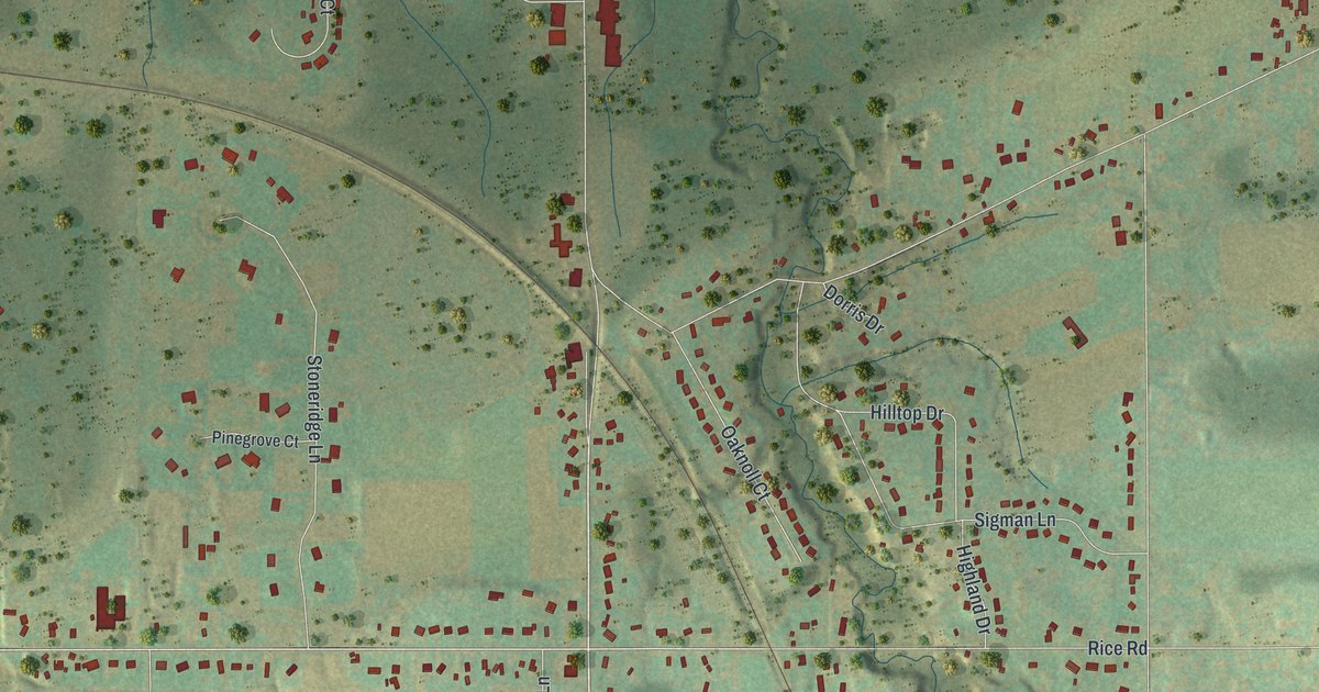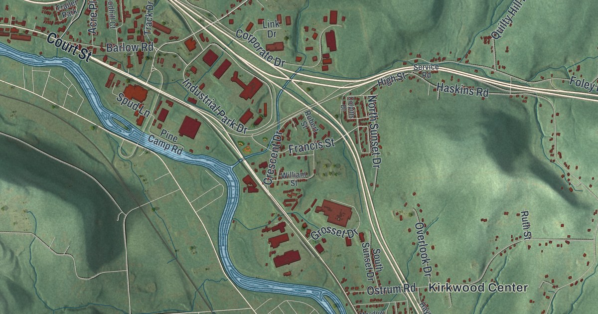
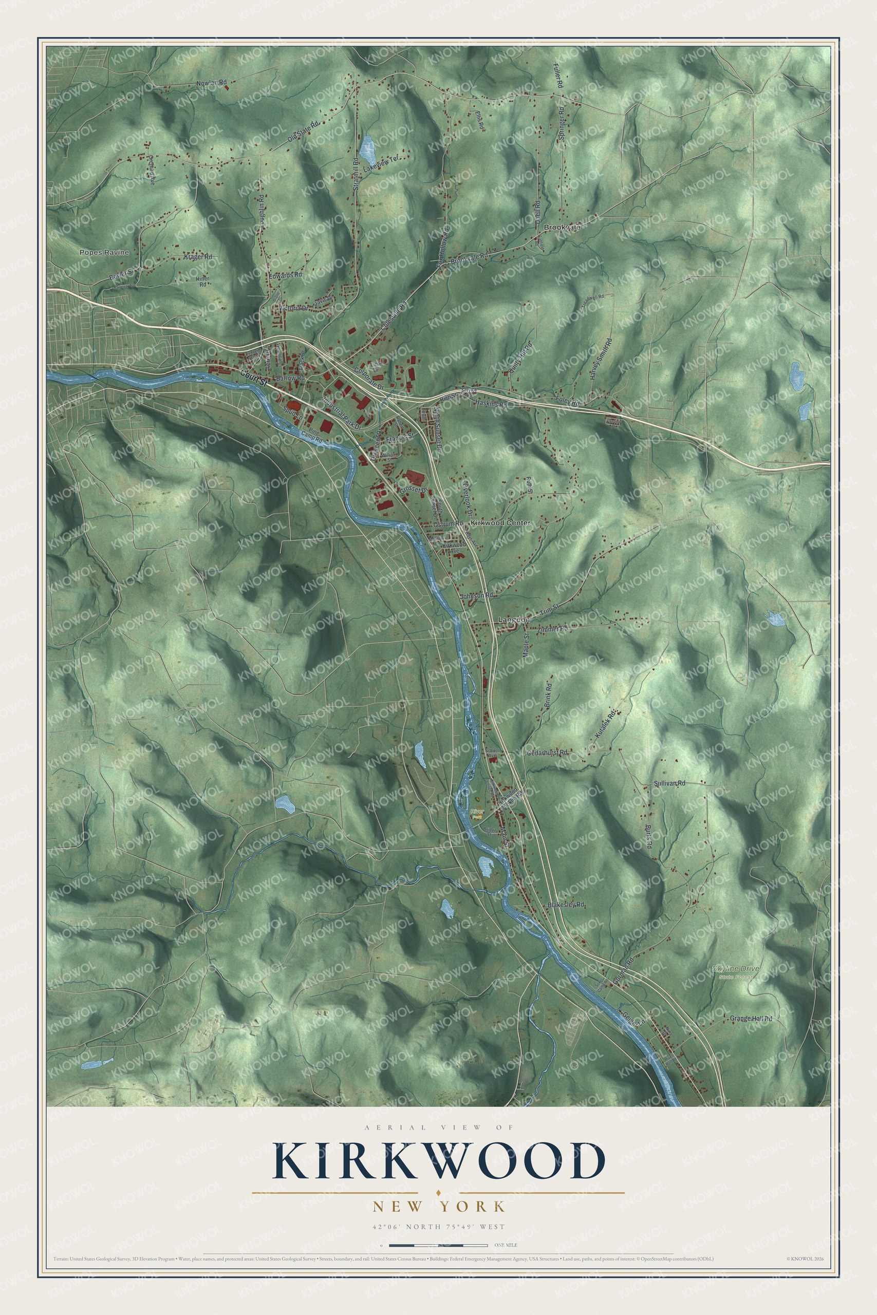
This beautifully detailed map of Kirkwood, New York was created in 2026 using aerial imagery combined with modern topographical, census, street and landmark data. It’s a one-of-a-kind view of Kirkwood that combines accurate data with a vintage aesthetic. The map shows every building in its true location, many of the roads carry their names, and the shaded topographic relief shows the shape of the land.
Explore an aerial view of Kirkwood, New York
On the map you’ll find Popes Ravine, Brookvale, Kirkwood Center, Langdon, River Park, and Skyline Drive State Forest, along with Court Street, Old State Road, Colesville Road, Cedarhurst Road, Francis Street, and more. If you look closely you can even find your house accurately drawn in its correct location. Zoom in on the preview to look for yours.
Did You Know?
Kirkwood was named for James P. Kirkwood, the civil engineer who built the local railroad. The land was once part of the town of Conklin. The Susquehanna River split the two halves, which made local government hard. Kirkwood became its own town in November 1859.
Take a closer look at the Kirkwood map
Names on this map
These names are printed on this map.
Places: Popes Ravine, River Park, Skyline Drive State Forest, Brookvale, Kirkwood Center, Langdon and Trailer Park.
Streets and roads: Court Street, Old State Road, Colesville Road, Cedarhurst Road, Francis Street, Sullivan Road, Haskins Road, Kutalek Road, Brookvale Road, Stratmill Road, Johnson Road, Gorman Road.
More street names, A to Z
Acre Place, Barlow Road, Bevier Street, Blakesley Road, Bridge Street, Brink Road, Burts Road, Canfield Road, Colpitts Drive, Corporate Drive, Crescent Drive, Diane Drive, Duell Road, Edwards Road, Ellis Road, Fairview Avenue, Fairview Drive, Foley Road, Fox Hollow Road, Fuller Road, Geiger Lane, Grange Hall Road, Grosset Drive, Harvey Smith Road, Hays Avenue, High Street, Hiner Road, Industrial Park Drive, Kirkwood Avenue, Kirkwood Conklin Road, Kirkwood Village Road, Krager Road, Lakeview Terrace, Link Drive, Loughlin Road, Main Street, Maple Street, Meadow Lane, Nina Drive, North Sunset Drive, Nowlan Road, Orchard Avenue, Ostrum Road, Overlook Drive, Pine Camp Road, Quilty Hill Road, River Run Road, Robert Street, Ruth Street, School Avenue, Service Road, Sokol Camp Road, South Sunset Drive, Springer Road, Spud Lane, Track Drive, Travis Drive, Treadwell Road, Trim Street, Victoria Drive, William Street, Woodhill Court, Zimmer Road.
See it on a wall
The Kirkwood map as a framed print. Swipe for more.


This beautifully detailed map of Kirkwood makes an attractive addition to your office, library, or den, and it can even be used to teach children the geography and history of the area. It also makes a great gift for anyone with Kirkwood roots. When you’re done exploring, click here to get your copy of the Kirkwood map.