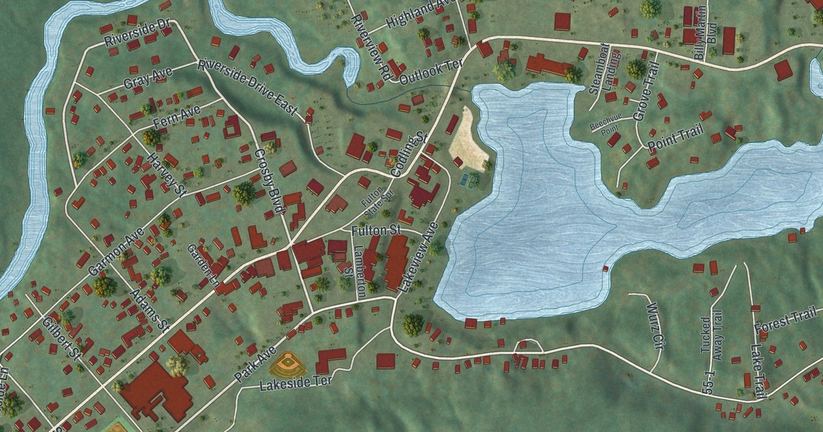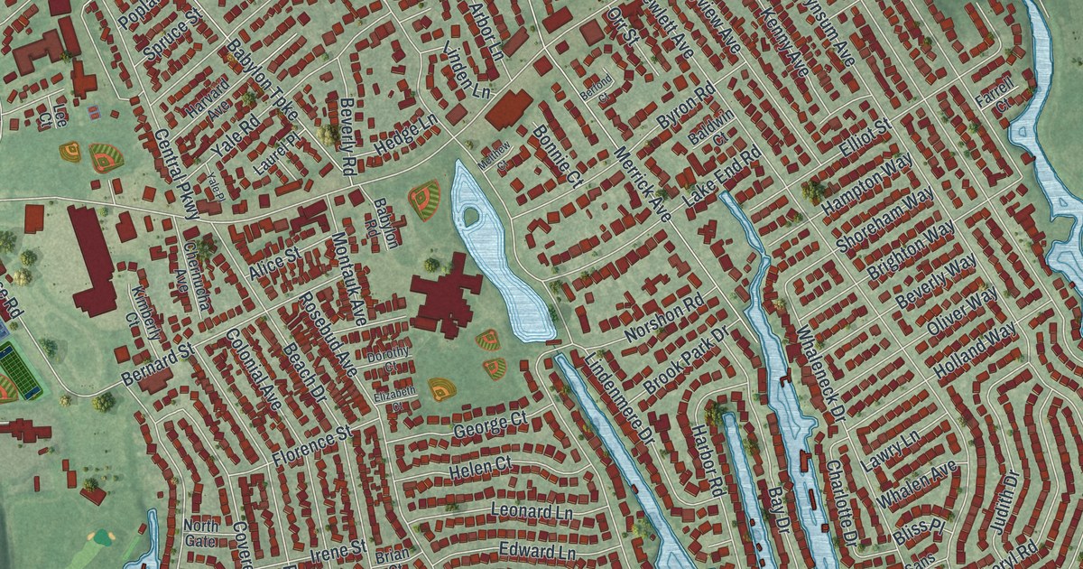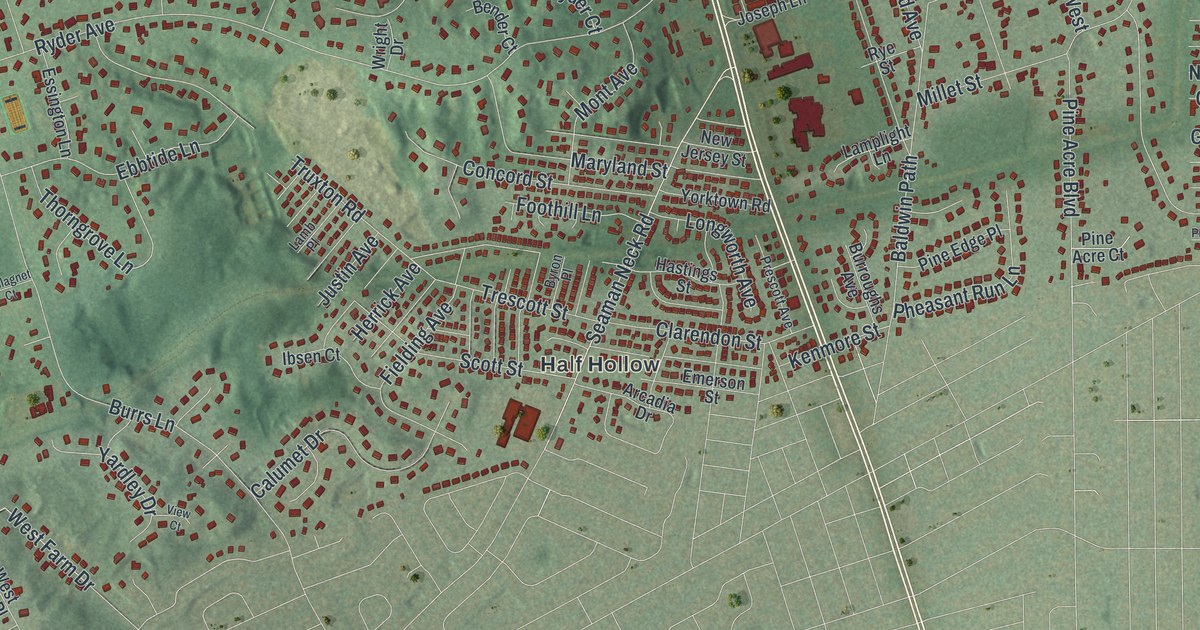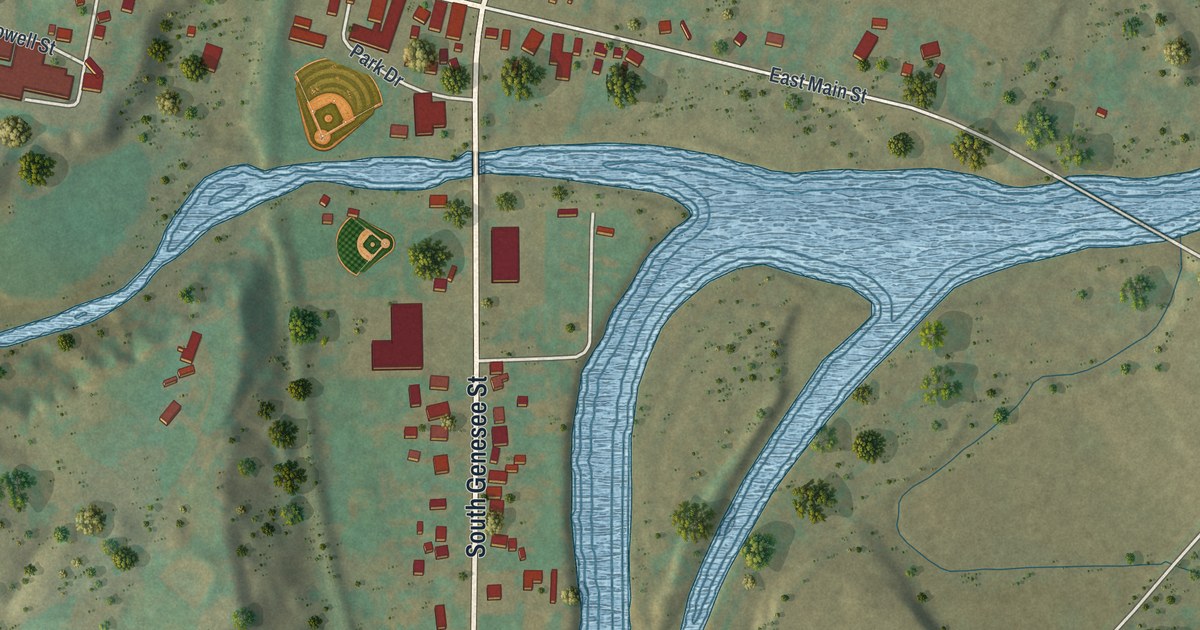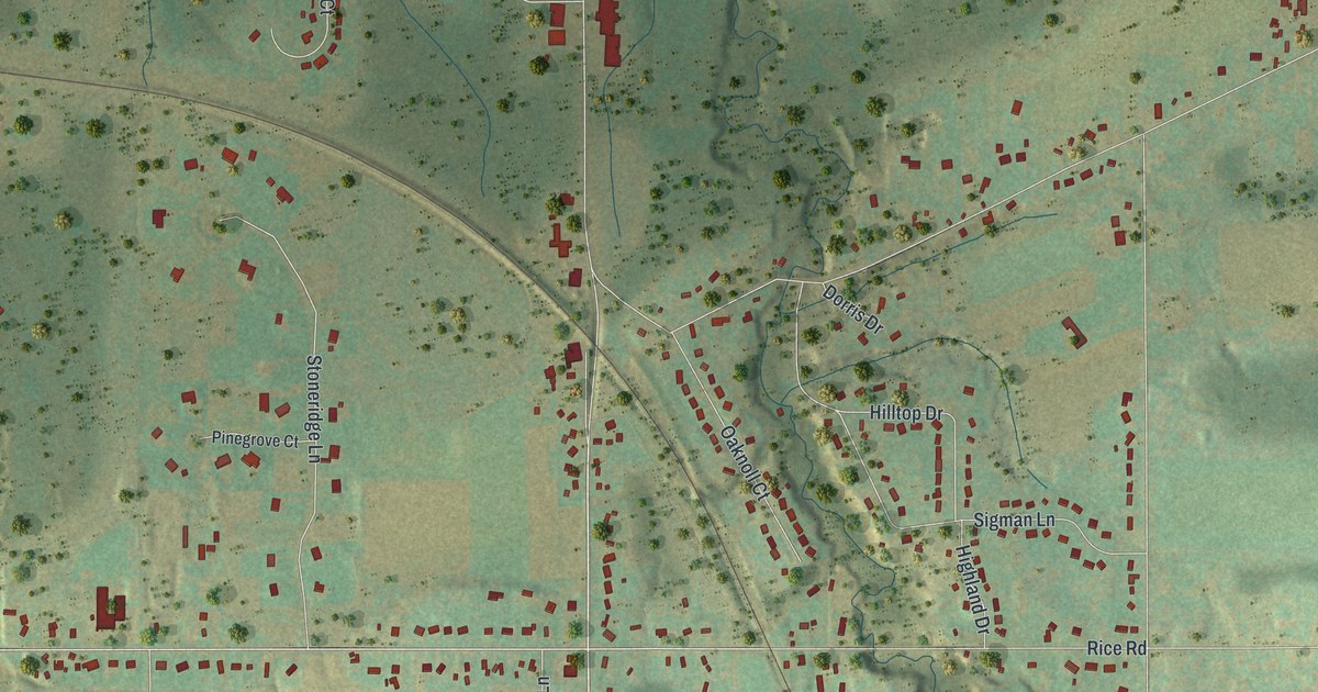
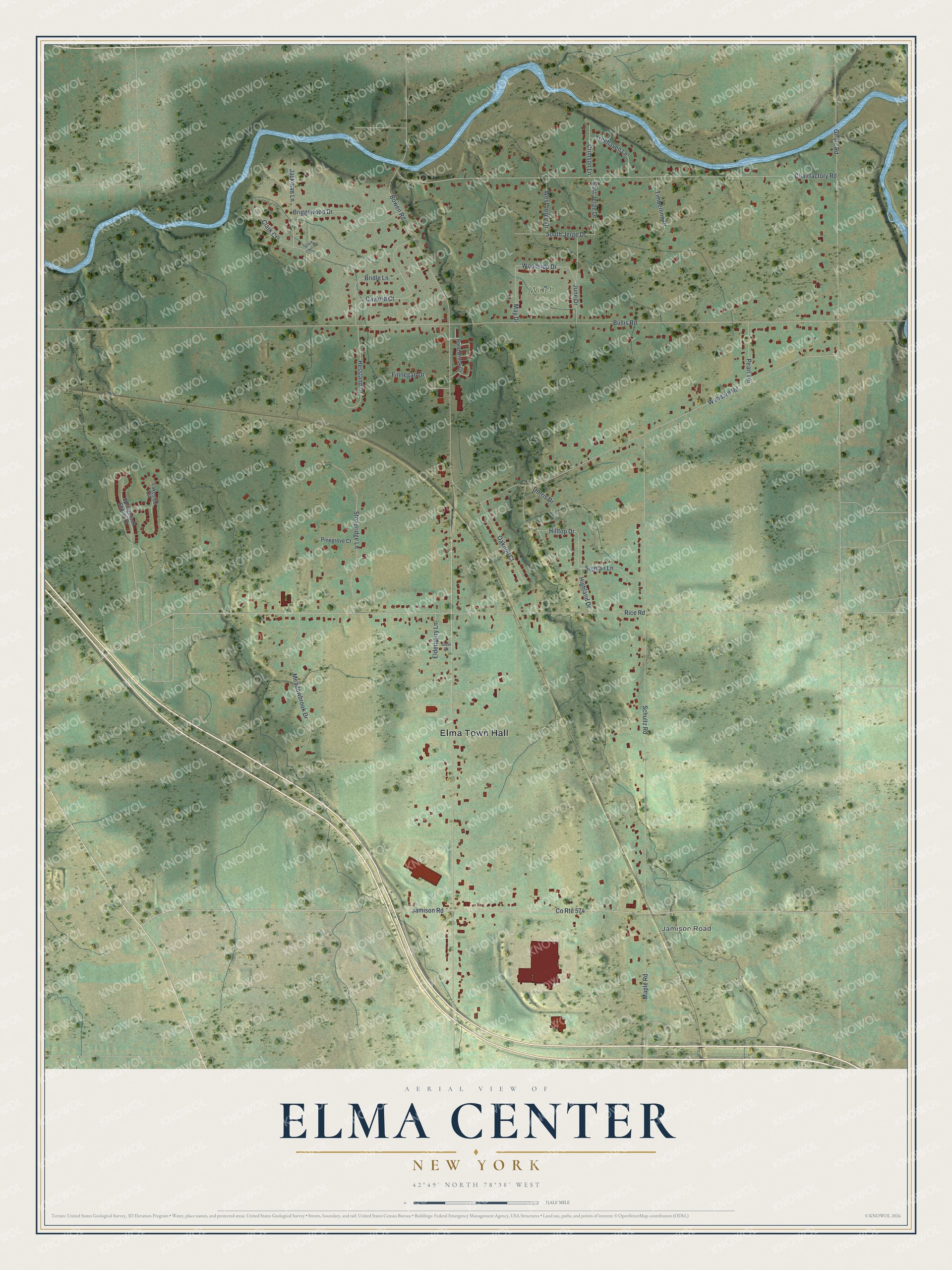
This beautifully detailed map of Elma Center, New York was created in 2026 using aerial imagery combined with modern topographical, census, street and landmark data. It's a modern aerial view of Elma Center in Erie County, New York, that combines modern data with a vintage aesthetic. The roads feature printed names, and if you look closely you can find your exact house accurately shown in its correct location.
Explore an aerial view of Elma Center, New York
On this map you'll find Elma Town Hall, Jamison Road, Winch Lake, Bowen Road, Clark Court, Woodside Drive, Bullis Road, Schultz Road, Chairfactory Road, Rice Road, Woodard Road, Girdle Road, and more. Each red shape is a building, so zoom in on the preview and look for yours.
Every town has a first chapter, and Elma Center is no exception. In 1868 the people of Elma put up a building by the railroad at Elma Center and offered it to the railroad company as a depot. The company refused it and built a board shanty instead. In 1878 Henry A. Wright opened a store in the townspeople's building, while the railroad's new depot was being built. The Elma Center post office opened that same year, on April 1, 1878, with Eron Woodard as postmaster. That's from the 1902 History of the Town of Elma.
Elma Center is a community in Erie County. The Census Bureau counted 2,851 people here in 2020. Elma Center sits about 3 miles north of Billington Heights, 4 miles north of East Aurora and 5 miles south of Lancaster. The map prints the town name in its title panel, with the coordinates below it.
Take a closer look at the Elma Center map
Names on this map
These names are printed on this map.
Places: Elma Town Hall, Jamison Road and Winch Lake.
Streets and roads: Bowen Road, Clark Court, Woodside Drive, Bullis Road, Schultz Road, Chairfactory Road, Rice Road, Woodard Road, Girdle Road, County Route 574, Hilltop Drive, Stoneridge Lane.
More street names, A to Z
Bridle Lane, Briggswood Drive, Clark Court Extension, Crimson Lane, Dorris Drive, East Jerge Drive, Elderberry Lane, Finnegan Drive, Gaylord Court, Geyer Road, Hessland Court, Highland Drive, Jackman Lane, June Drive, Lakeside Circle, Maple Road, May Drive, Meadowbrook Drive, Oaknoll Court, Pearl Terrace, Pinegrove Court, Pond Brook Drive, Sigman Lane, South Jerge Drive, Springbrook Shores Drive, Timberline Drive, Treehaven Lane, West Jerge Drive.
See it on a wall
The Elma Center map as a framed print. Swipe for more.


Created by KNOWOL in 2026. The buildings are small red shapes, the roads carry their printed names, and shaded relief shows the shape of the land. The title panel reads "AERIAL VIEW OF ELMA CENTER, NEW YORK" with 42°49' NORTH 78°38' WEST.
Hang it in the hallway, the office or the cabin, or give it to someone who left Elma Center and still calls it home. Open the preview and look for a street you know. See sizes and frames for the Elma Center map.