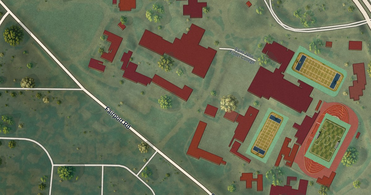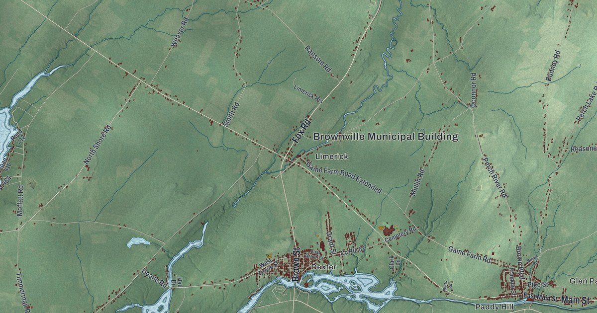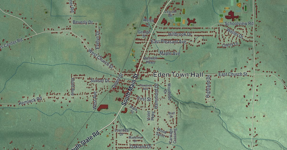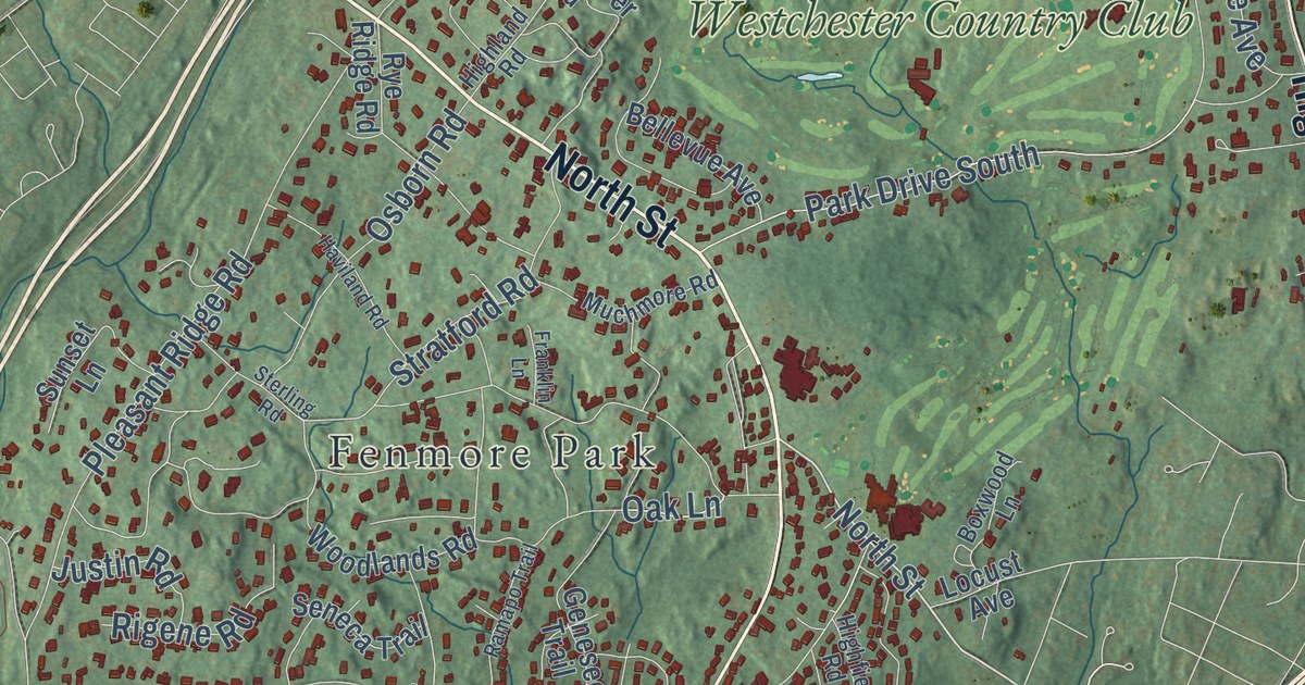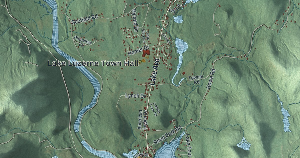
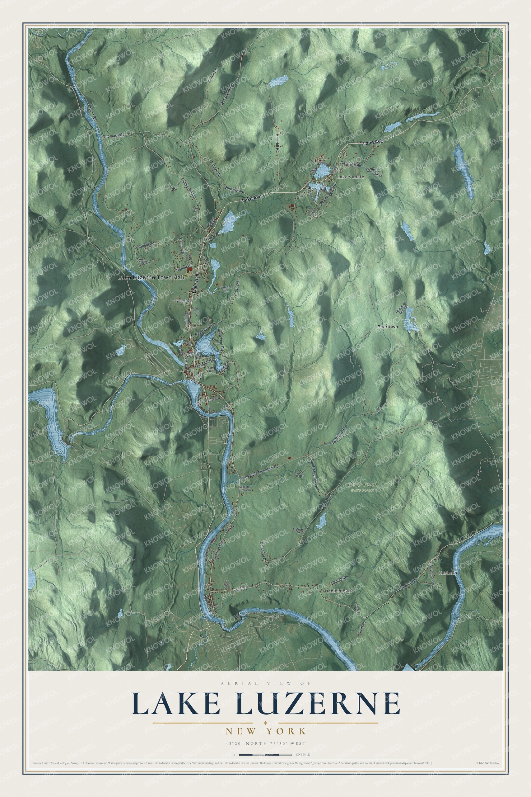
This beautifully detailed map of Lake Luzerne, New York was created in 2026 using aerial imagery combined with modern topographical, census, street and landmark data. It’s a one-of-a-kind view of Lake Luzerne that combines accurate data with a vintage aesthetic. The map shows every building in its true location, many of the roads carry their names, and the shaded topographic relief shows the shape of the land.
Explore an aerial view of Lake Luzerne, New York
On the map you’ll find Lake Luzerne Town Hall, Hartman, Danielstown, Lake Vanare, Beartown, and Ralph Road State Forest, along with Lake Avenue, Lane Avenue, River Drive, Bay Road, and more. If you look closely you can even find your house accurately drawn in its correct location. Zoom in on the preview to look for yours.
Did You Know?
The town split from Queensbury in 1792 as Fairfield. In 1808 it became Luzerne, after Anne-Cesar, Chevalier de la Luzerne. This French minister to the young nation backed a personal loan that fed American troops in the Revolution. The name grew to Lake Luzerne in 1963.
Take a closer look at the Lake Luzerne map
Names on this map
These names are printed on this map.
Places: Lake Luzerne Town Hall, Hartman, Danielstown, Lake Vanare, Ralph Road State Forest and Beartown.
Streets and roads: Lake Avenue, Lane Avenue, East River Drive, Bay Road, Main Street, Terrace Drive, Corinth Road, River Road, Call Street, Beartown Road, Glens Falls Mountain Road, Howe Road.
More street names, A to Z
Allison Drive, American Legion Drive, Beech Mountain Drive, Belanger Drive, Bluebird Drive, Butler Road, Chuckwagon Road, Circular Street, Clute Drive, Cowles Drive, Daniels Road, Davern Drive, Drive, Dunkley Road, Fifth Avenue, Forest Lake Road, Gage Hill Road, Gailey Hill Road, Griffin Road, Hall Hill Road, Hartman Loop, Hawk Road, Hidden Valley Road, Hillcrest Drive, Homer Drive, Hyland Drive, Ivy Lane, Ladys Slipper Lane, Lake Tour Road, Ll Water Tower Road, Locarno, Lynch Drive, Mill Street, North Drive, Northwoods Road, Old Stage Road, Pierpont Road, Pineview Court, Pinewoods Road, Pleasant View Road, Potash Road, Ralph Road, Randall Drive, Read Park Road, Rose Avenue, Sagamore Street, Schaeffer Brook Lane, Scofield Road, Sherman Road, Smith Mountain Road, Stephen Lane, Summit Place, Thomas Road, Towner Road, Unnamed Dirt Road, Wall Street.
See it on a wall
The Lake Luzerne map as a framed print. Swipe for more.


This beautifully detailed map of Lake Luzerne makes an attractive addition to your office, library, or den, and it can even be used to teach children the geography and history of the area. It also makes a great gift for someone who left Lake Luzerne and still calls it home. When you’re done exploring, click here to get your copy of the Lake Luzerne map.