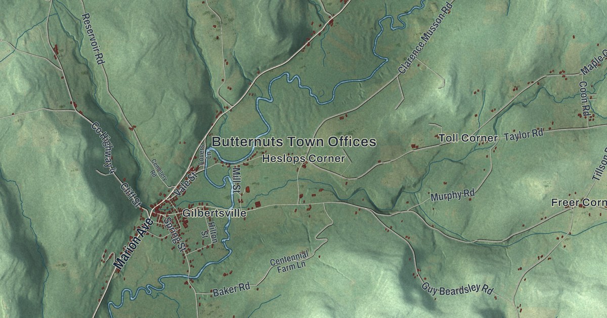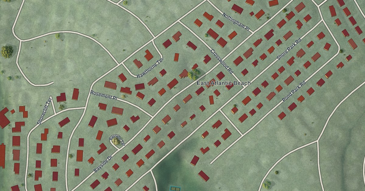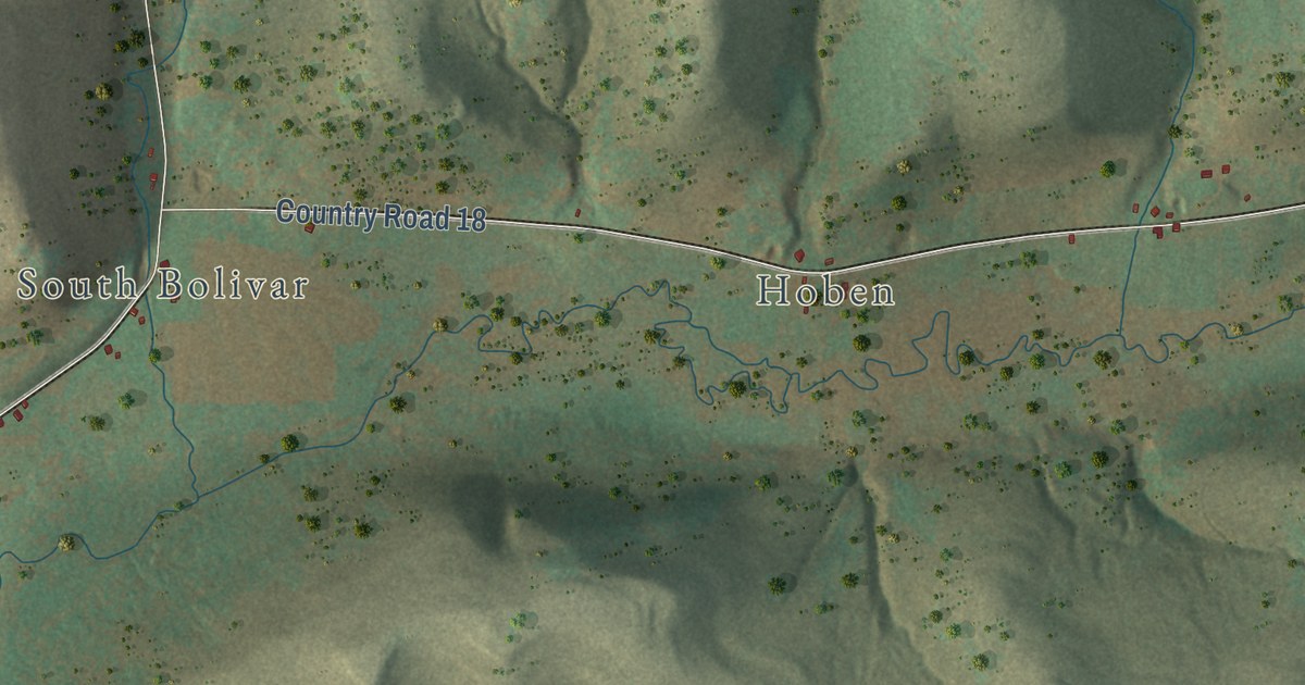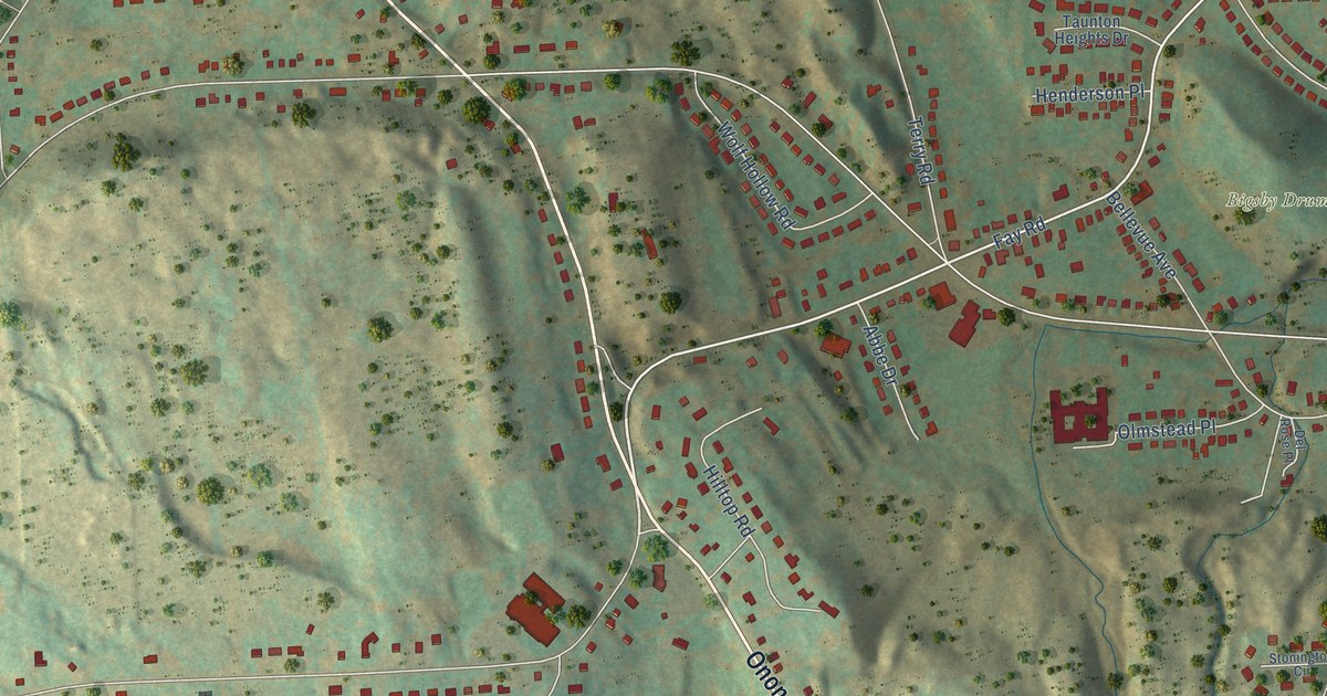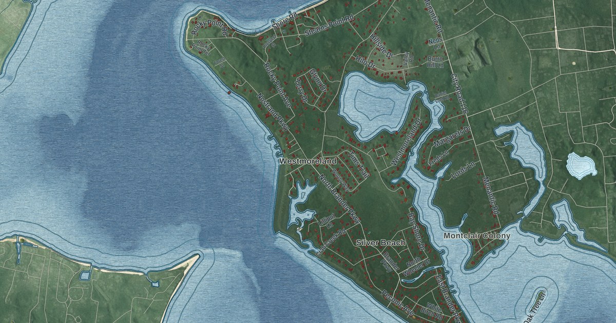
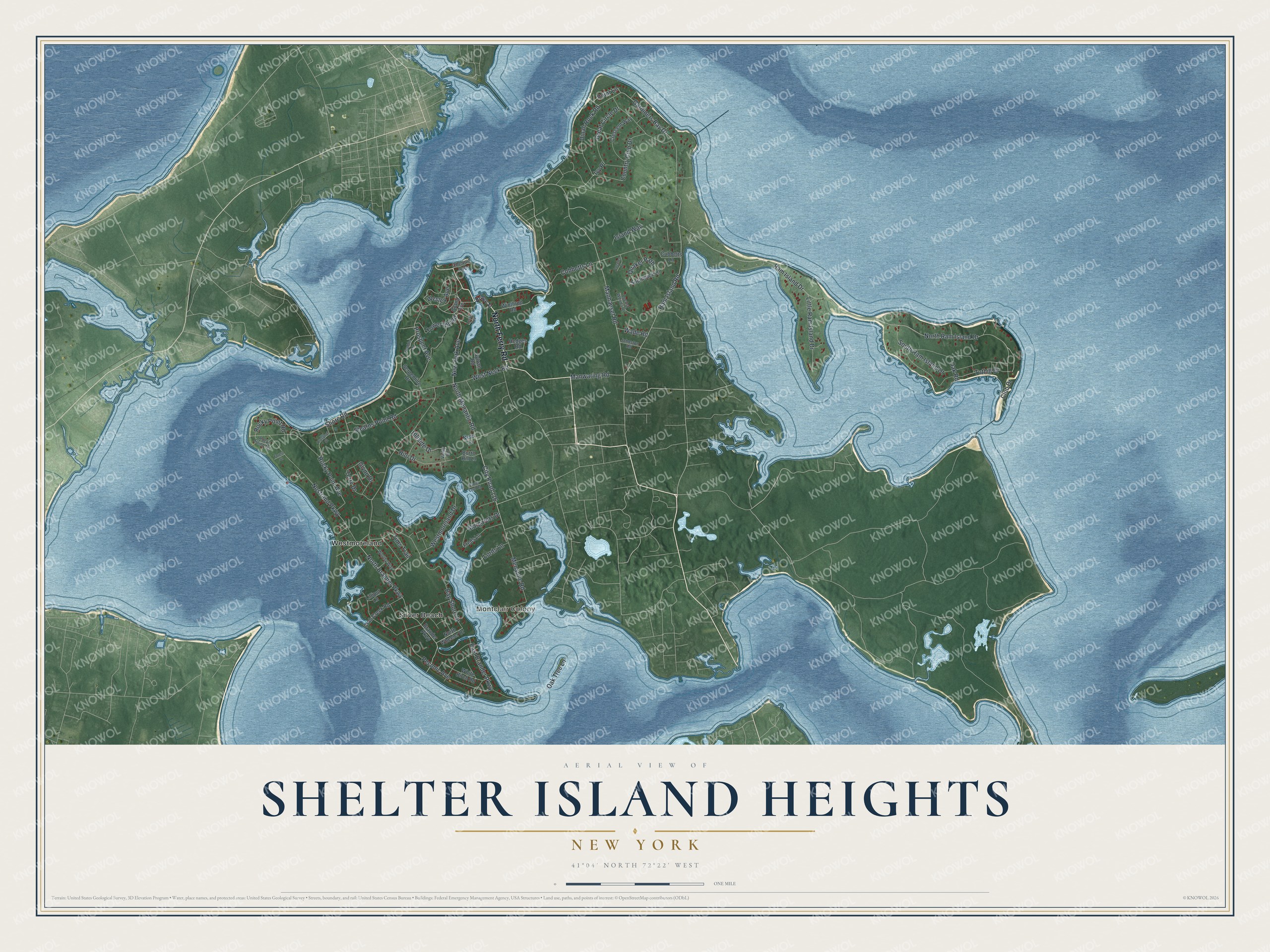
This beautifully detailed map of Shelter Island Heights, New York was created in 2026 using aerial imagery combined with modern topographical, census, street and landmark data. It’s a one-of-a-kind view of Shelter Island Heights that combines accurate data with a vintage aesthetic. The map shows every building in its true location, many of the roads carry their names, and the shaded topographic relief shows the shape of the land.
Explore an aerial view of Shelter Island Heights, New York
On the map you’ll find Montclair Colony, Silver Beach, and Westmoreland, along with Ferry Road, Bridge Street, Manhanset Road, Ram Island Road, Menantic Road, and more. If you look closely you can even find your house accurately drawn in its correct location. Zoom in on the preview to look for yours.
Did You Know?
Shelter Island Heights grew up as a resort community. It served as the southern landing for the ferry to Greenport. A car and driver once crossed for one dollar, and each passenger paid 15 cents. That’s from the 1940 WPA guide to New York.
Take a closer look at the Shelter Island Heights map
Names on this map
These names are printed on this map.
Places: Montclair Colony, Silver Beach and Westmoreland.
Streets and roads: North Ferry Road, Manhanset Road, Ram Island Road, Menantic Road, City Road 116, Ram Island Drive, North Menantic Road, New York Avenue, North Ram Island Drive, North Brander Parkway, Gardiners Bay Drive, West Neck Road.
More street names, A to Z
Bay Shore Drive, Brander Parkway, Bridge Street, Burro Hill Lane, Chequit Avenue, Club Drive, Cobbetts Lane, Coecles Place, Country Club Drive, Crab Creek Road, Crescent Way, Cubbetts Lane, Daniel Lord Road, Dinah Rock Road, East Brander Parkway, Forest Street, Freds Lane, Glynn Drive, Grand Avenue, Great Circle Drive, Hedges Road, Hillside Drive, Hilo Drive, Island Way, Ivy Place, Johnston Road, Lilliput Lane, Little Ram Island Drive, Locust Avenue, Locust Woods Drive, Lords Lane, Manwaring Road, Margarets Drive, Neds Lane, North Wheeler Drive, Nostrand Parkway, Oak Road, Oak Tree Lane, Peconic Avenue, Point Lane, Prospect Avenue, Prospect Street, Quaker Path, Rocky Point Avenue, Rocky Point Road, Rocky Point Terrace, Scudder Lane, Serpentine Drive, Shore Road, South Ram Island Drive, Southwick Lane, Stearns Point Road, Sylvan Road, Terry Drive, Tims Trail, Tower Hill Road, Tuthill Drive, Valley Road, Wade Road, Wesley Avenue, Westmoreland Drive, White Birch Road, Winthrop Road, Worthy Way.
See it on a wall
The Shelter Island Heights map as a framed print. Swipe for more.


This beautifully detailed map of Shelter Island Heights makes an attractive addition to your office, library, or den, and it can even be used to teach children the geography and history of the area. It also makes a great gift for someone who left Shelter Island Heights and still calls it home. When you’re done exploring, click here to get your copy of the Shelter Island Heights map.