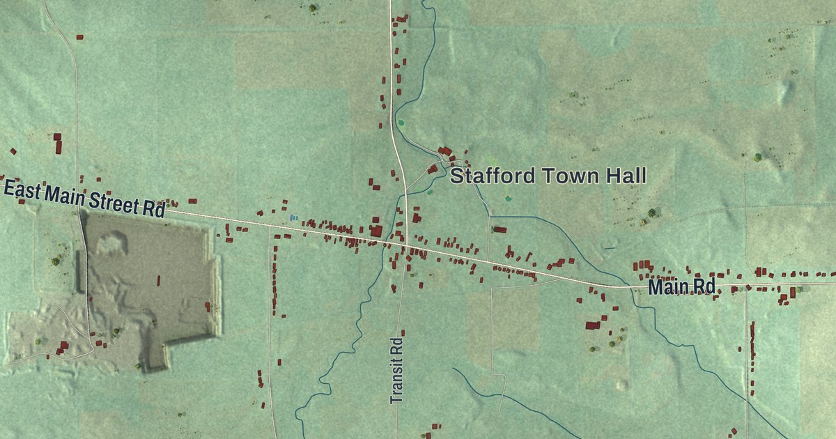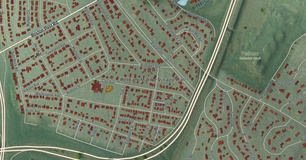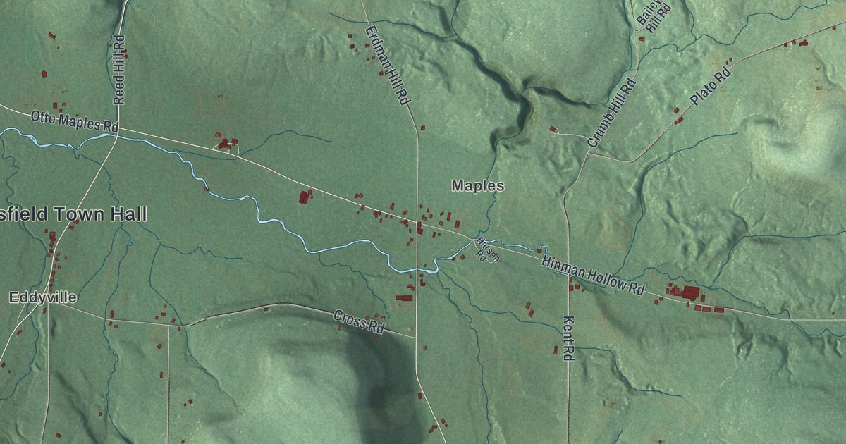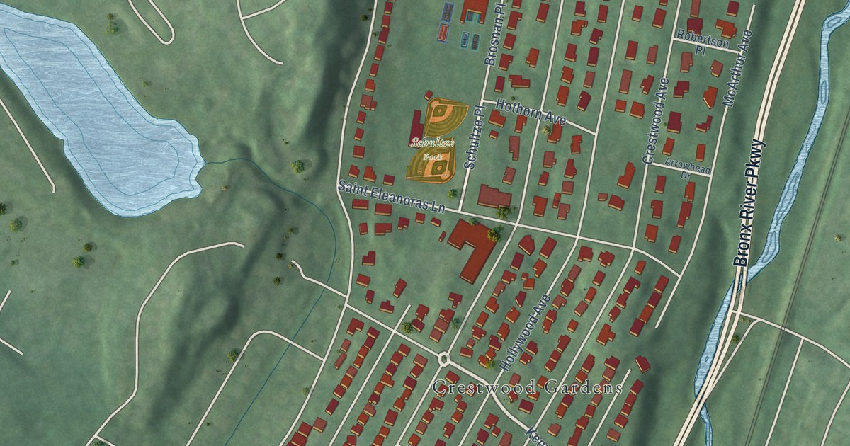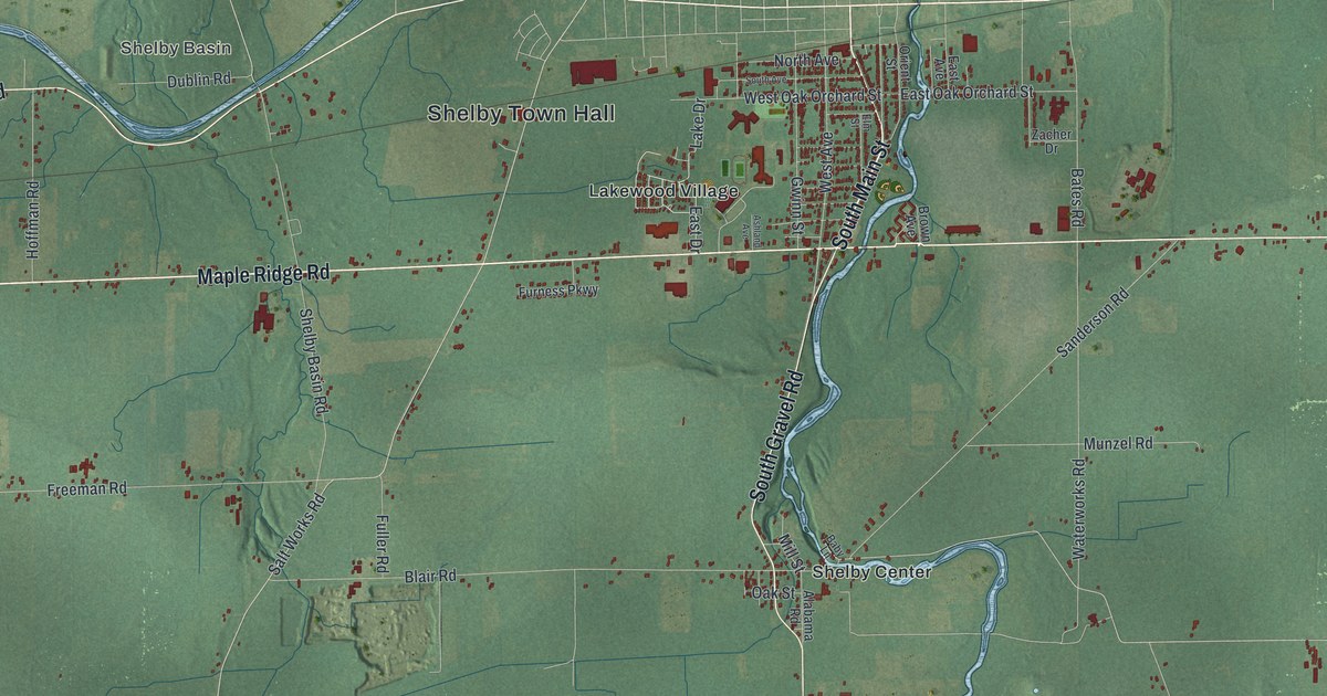
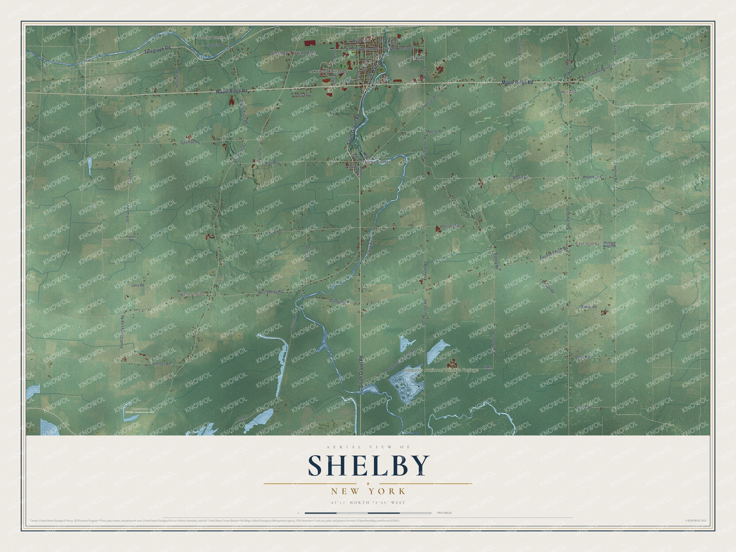
This beautifully detailed map of Shelby, New York was created in 2026 using aerial imagery combined with modern topographical, census, street and landmark data. It’s a one-of-a-kind view of Shelby that combines accurate data with a vintage aesthetic. The map shows every building in its true location, many of the roads carry their names, and the shaded topographic relief shows the shape of the land.
Explore an aerial view of Shelby, New York
On the map you’ll find Shelby Town Hall, Millville, Shelby Basin, East Shelby, West Shelby, Lakewood Village, Iroquois National Wildlife Refuge, and Tonawanda Wildlife Management Area, along with Maple Ridge Road, Main Street, Gravel Road, Telegraph Road, and more. If you look closely you can even find your house accurately drawn in its correct location. Zoom in on the preview to look for yours.
Did You Know?
Joseph Ellicott, who worked as the Holland Land Company’s agent, bought land near Shelby Center. He wanted the waterfall on the Oak Orchard River for power. Millville, in the town’s northeast corner, took its name from its several water-powered mills.
Take a closer look at the Shelby map
Names on this map
These names are printed on this map.
Places: Shelby Town Hall, Millville, Shelby Basin, East Shelby, West Shelby, Iroquois National Wildlife Refuge, Tonawanda Wildlife Management Area, Lakewood Village and Shelby Center.
Streets and roads: Maple Ridge Road, South Main Street, South Gravel Road, Telegraph Road, West County House Road, Townline Road, Martin Road, South County Line Road, East Shelby Road, Dresser Road, Access Road, Sour Springs Road.
More street names, A to Z
Alabama Road, Ashland Avenue, Baby Lane, Barber Road, Bates Road, Bigford Road, Blair Road, Brown Avenue, County Line Road, Creek Road, Culvert Road, Dublin Road, Dunlop Road, East Avenue, East Drive, East Oak Orchard Street, Edwards Road, Elm Street, Feeder Road, Fletcher Chapel Road, Freeman Road, Fuller Road, Furness Parkway, Gwinn Street, Harrison Road, Hellert Road, Hemlock Ridge Road, Hoffman Road, Jackson Road, Johnson Road, Lake Drive, Letts Road, Mill Street, Munzel Road, North Avenue, Oak Orchard Ridge Road, Oak Street, Orient Street, Palmer Road, Podunk Road, Posson Road, Ryan Road, Salt Works Road, Sanderson Road, Shelby Basin Road, Smith Road, South Avenue, Southwoods Road, Taylor Hill Road, Tibbits Road, Waterworks Road, West Avenue, West Oak Orchard Street, West Shelby Road, Wheeler Road, Zacher Drive.
See it on a wall
The Shelby map as a framed print. Swipe for more.


This beautifully detailed map of Shelby makes an attractive addition to your office, library, or den, and it can even be used to teach children the geography and history of the area. It also makes a great gift for anyone who grew up in Shelby or moved away. When you’re done exploring, click here to get your copy of the Shelby map.