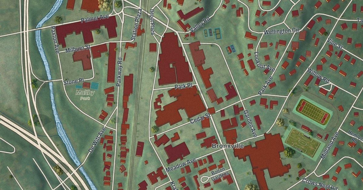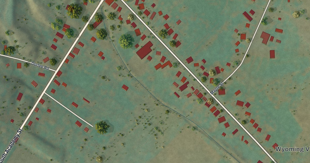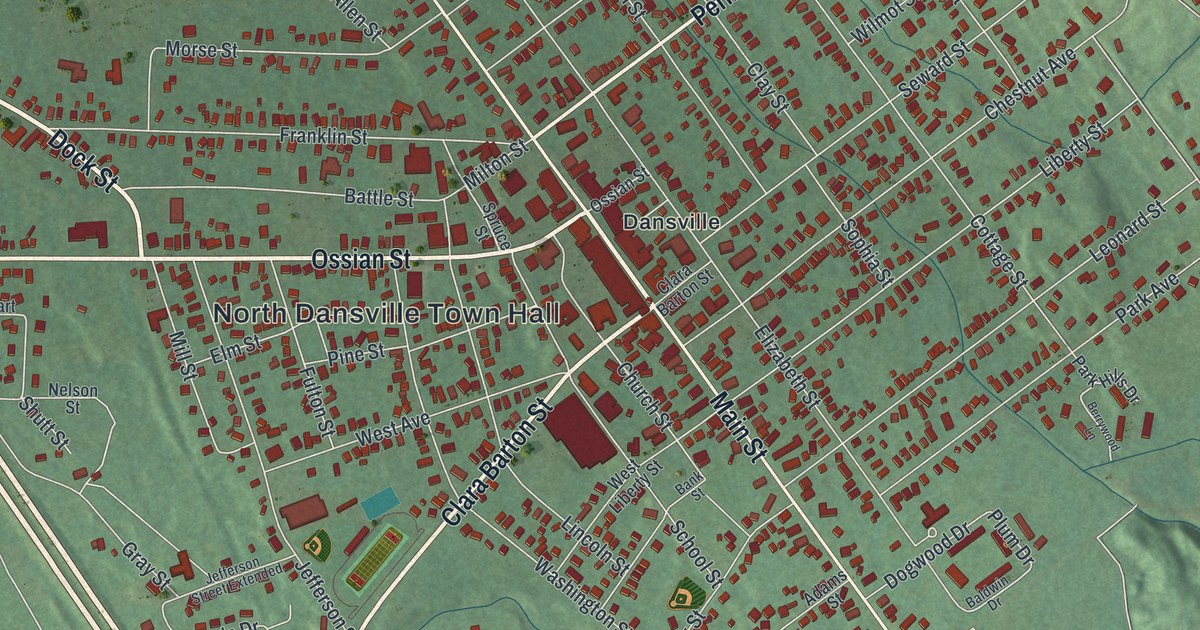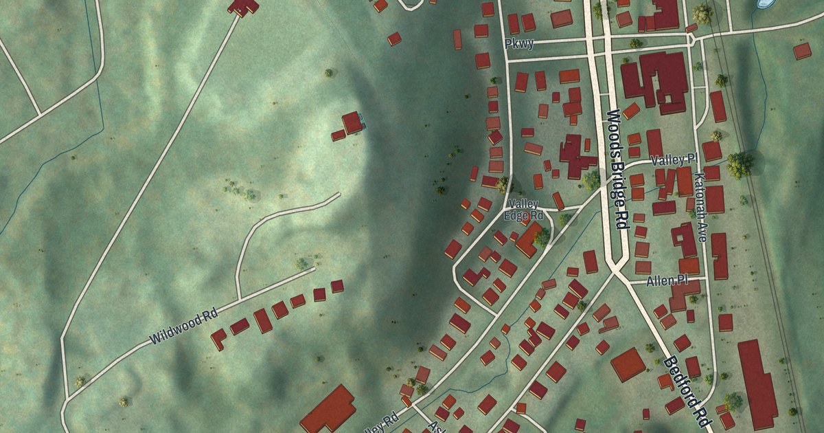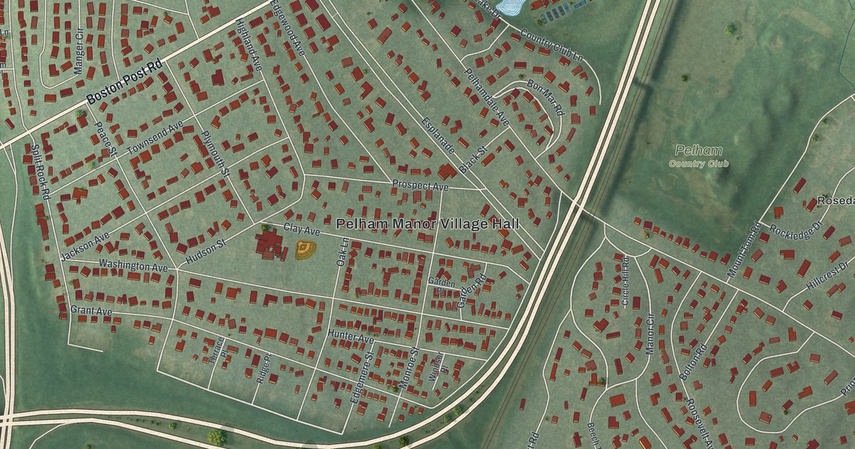
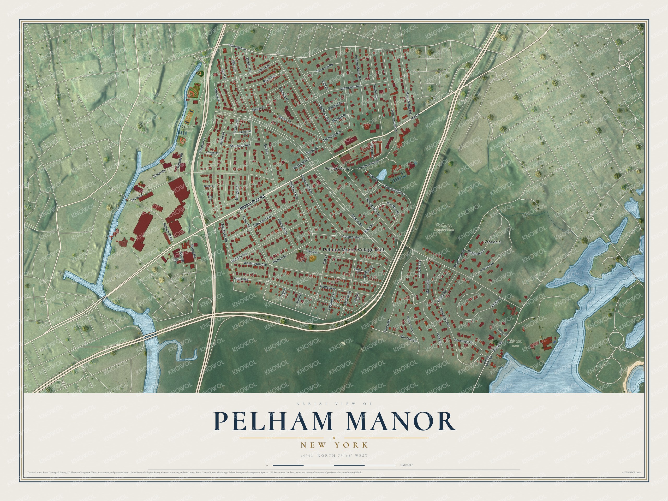
This beautifully detailed map of Pelham Manor, New York was created in 2026 using aerial imagery combined with modern topographical, census, street and landmark data. It’s a one-of-a-kind view of Pelham Manor that combines accurate data with a vintage aesthetic. The map shows every building in its true location, many of the roads carry their names, and the shaded topographic relief shows the shape of the land.
Explore an aerial view of Pelham Manor, New York
On the map you’ll find Pelham Manor Village Hall, Rosedale, and Shore Park, along with Boston Post Road, Main Street, Colonial Avenue, Shore Road, and more. If you look closely you can even find your house accurately drawn in its correct location. Zoom in on the preview to look for yours.
Did You Know?
Pelham Manor station opened in 1873 on the New Haven railroad’s Harlem River Branch. New homes soon grew up around it. Architect Cass Gilbert designed its station house. Trains stopped there in 1930, and the Westchester Model Club then used the building. It was torn down in 1955 to make room for the New England Thruway.
Take a closer look at the Pelham Manor map
Names on this map
These names are printed on this map.
Places: Pelham Manor Village Hall, Glover Field, Pelham Country Club, Shore Park, Pelham Manor and Rosedale.
Streets and roads: Boston Post Road, Colonial Avenue, Shore Road, Roosevelt Avenue, Manor Circle, Bon Mar Road, Esplanade, Pelhamdale Avenue, Grant Avenue, Wolfs Lane, Washington Avenue, Secor Lane.
More street names, A to Z
Beech Tree Lane, Black Street, Bolton Road, Brier Lane, Canal Road, Carol Place, Circle Hill Road, Clay Avenue, Cliff Place, Country Club Drive, Country Club Lane, Edgemere Street, Edgewood Avenue, Elm Place, Elm Tree Lane, Ely Avenue, Forest Road, Fowler Avenue, Francis Street, Garden Place, Garden Road, Good Place, Hazen Street, Heywood Road, Highbrook Avenue, Highland Avenue, Hillcrest Drive, Hillside Road, Hudson Street, Hunter Avenue, Iden Avenue, Jackson Avenue, James Street, Lake Drive, Lawrence Place, Main Street, Manger Circle, Manor Lane, Manor Ridge Road, Mitchell Place, Monroe Street, Monterey Avenue, Mount Tom Road, Murray Street, Oak Lane, Park Lane, Peace Street, Pelham Manor Road, Pelham Parkway, Pelham Shore Road, Plymouth Street, Priory Lane, Prospect Avenue, Randall Place, Reed Avenue, Ridge Place, Rockledge Drive, Roosevelt Place, Sherwood Avenue, Shoreview Circle, Siwanoy Place, Split Rock Road, Spring Road, Stellar Avenue, Stellar Place, Suburban Avenue, Terrace Place, The Hamlet, Timpson Street, Townsend Avenue, West Street, Westward Lane, Windsor Place, Witherbee Avenue, Wynnewood Road.
See it on a wall
The Pelham Manor map as a framed print. Swipe for more.


This beautifully detailed map of Pelham Manor makes an attractive addition to your office, library, or den, and it can even be used to teach children the geography and history of the area. It also makes a great gift for anyone with Pelham Manor roots. When you’re done exploring, click here to get your copy of the Pelham Manor map.