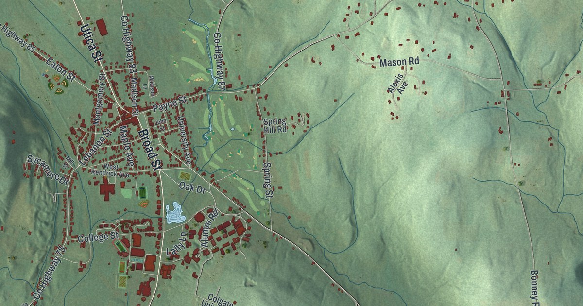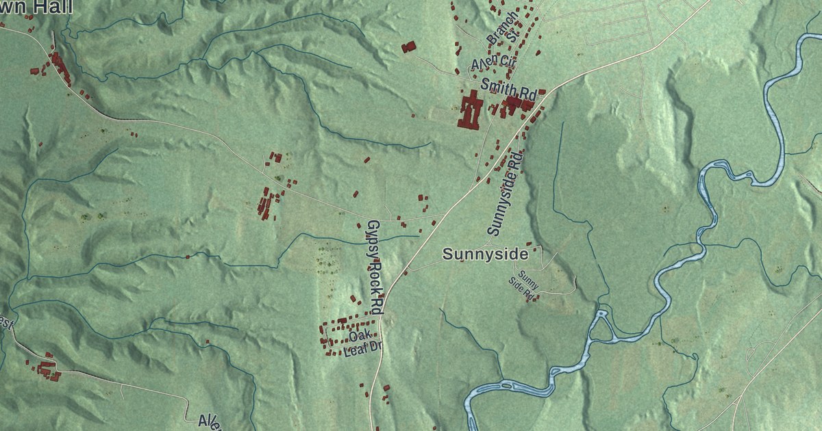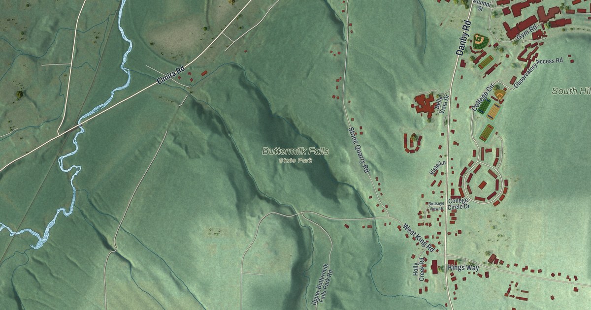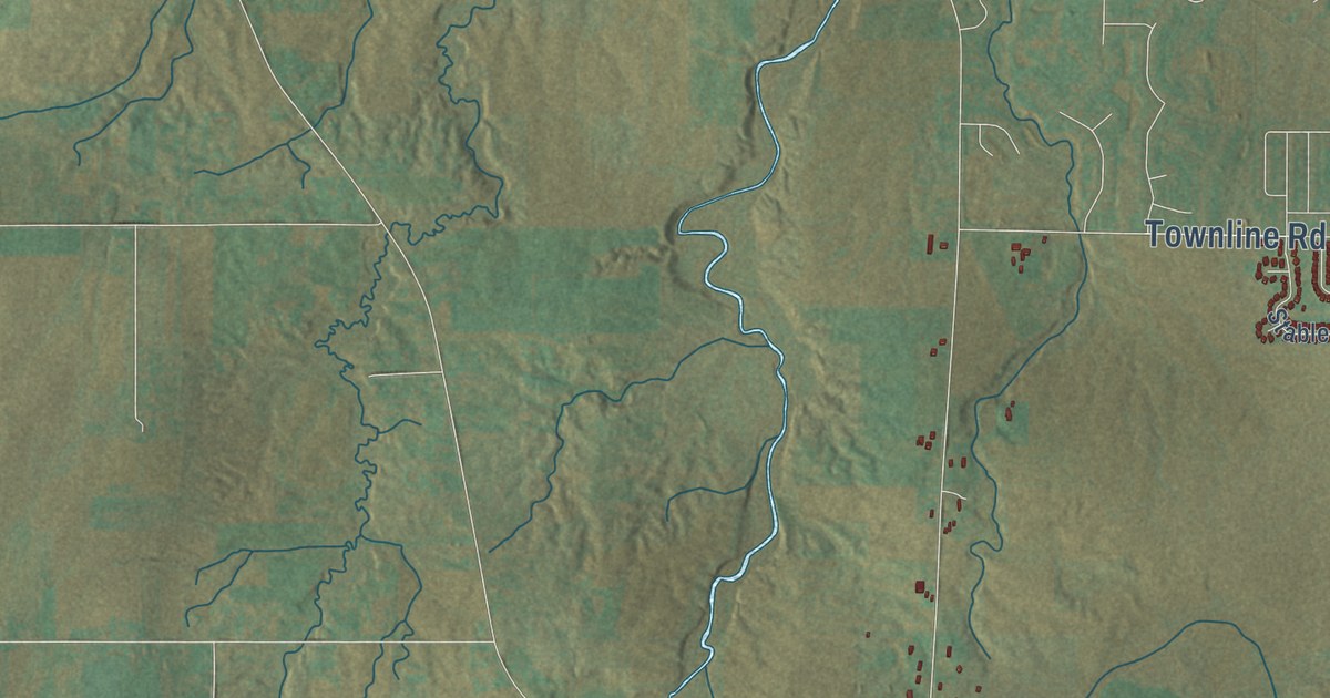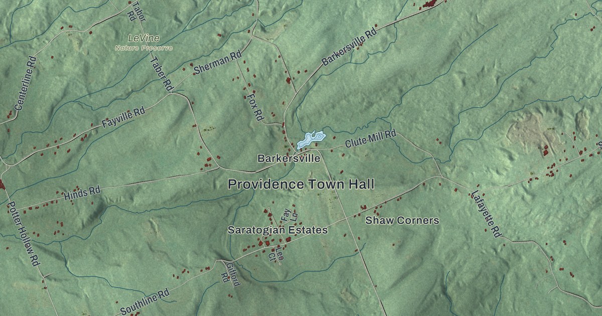
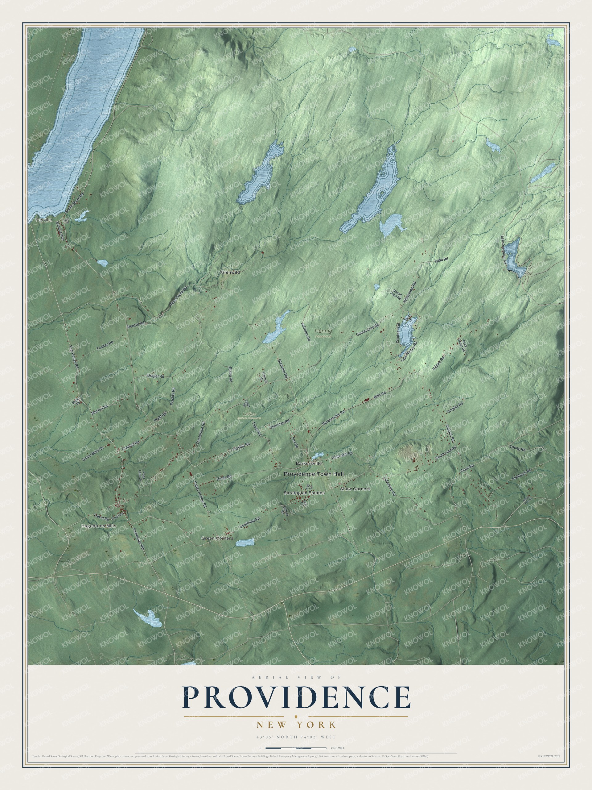
This beautifully detailed map of Providence, New York was created in 2026 using aerial imagery combined with modern topographical, census, street and landmark data. It’s a one-of-a-kind view of Providence that combines accurate data with a vintage aesthetic. The map shows every building in its true location, many of the roads carry their names, and the shaded topographic relief shows the shape of the land.
Explore an aerial view of Providence, New York
On the map you’ll find Providence Town Hall, Fayville, Hagedorns Mills, Barkersville, Glenwild, Green Corners, Hennig Preserve, and LeVine Nature Preserve, along with Fish House Road, Bills Road, Line Road, Potter Hollow Road, and more. If you look closely you can even find your house accurately drawn in its correct location. Zoom in on the preview to look for yours.
Take a closer look at the Providence map
Names on this map
These names are printed on this map.
Places: Providence Town Hall, Fayville, Hagedorns Mills, Hennig Preserve, LeVine Nature Preserve, Barkersville, Glenwild, Green Corners, Saratogian Estates and Shaw Corners.
Streets and roads: Fish House Road, Bills Road, South Line Road, Potter Hollow Road, Clark Road, Trevet Road, Fishhouse Road, Fayville Road, Center Line Road, Hans Creek Road, Glenwild Road, Centerline Road.
More street names, A to Z
Antioch Road, Barkersville Road, Clute Mill Road, Crannel Road, Crooked Trail, Dixon Road, Drager Road, Fay Lane, Finch Road, Fishback Road, Fox Road, Gifford Road, Hinds Road, Jeffords Road, Kilmer Road, Lafayette Road, Lake Desolation Road, Lake Nancy Road, Leda Road, Leo Court, Maston Road, Middle Grove Road, Patricia Court, Pischel Road, Pops Lake Drive, Prahl Road, Quigley Road, Rock Haven Road, Round Pond Road, Ryder Road, Seneca Avenue, Sherman Road, Sleezer Road, Southline Road, South Shore Road, Stella Lane, Taber Road, Tabor Road, Toohey Road, Trivet Road, Union Mills Road, Wileytown Road, Young Road.
See it on a wall
The Providence map as a framed print. Swipe for more.


This beautifully detailed map of Providence makes an attractive addition to your office, library, or den, and it can even be used to teach children the geography and history of the area. It also makes a great gift for anyone with Providence roots. When you’re done exploring, click here to get your copy of the Providence map.