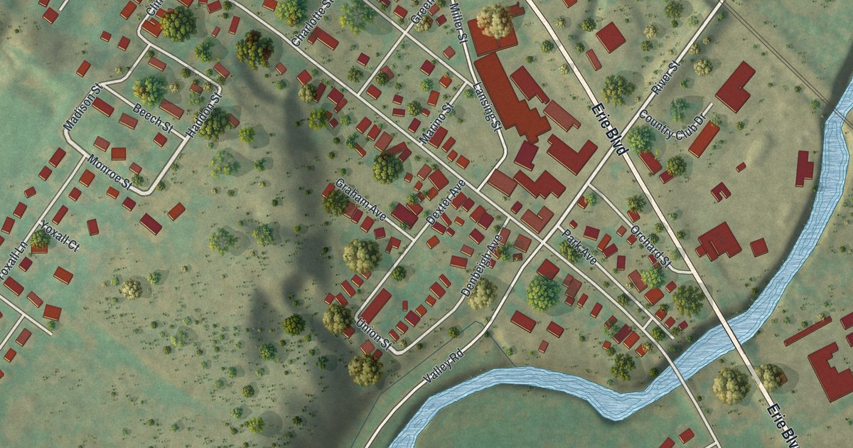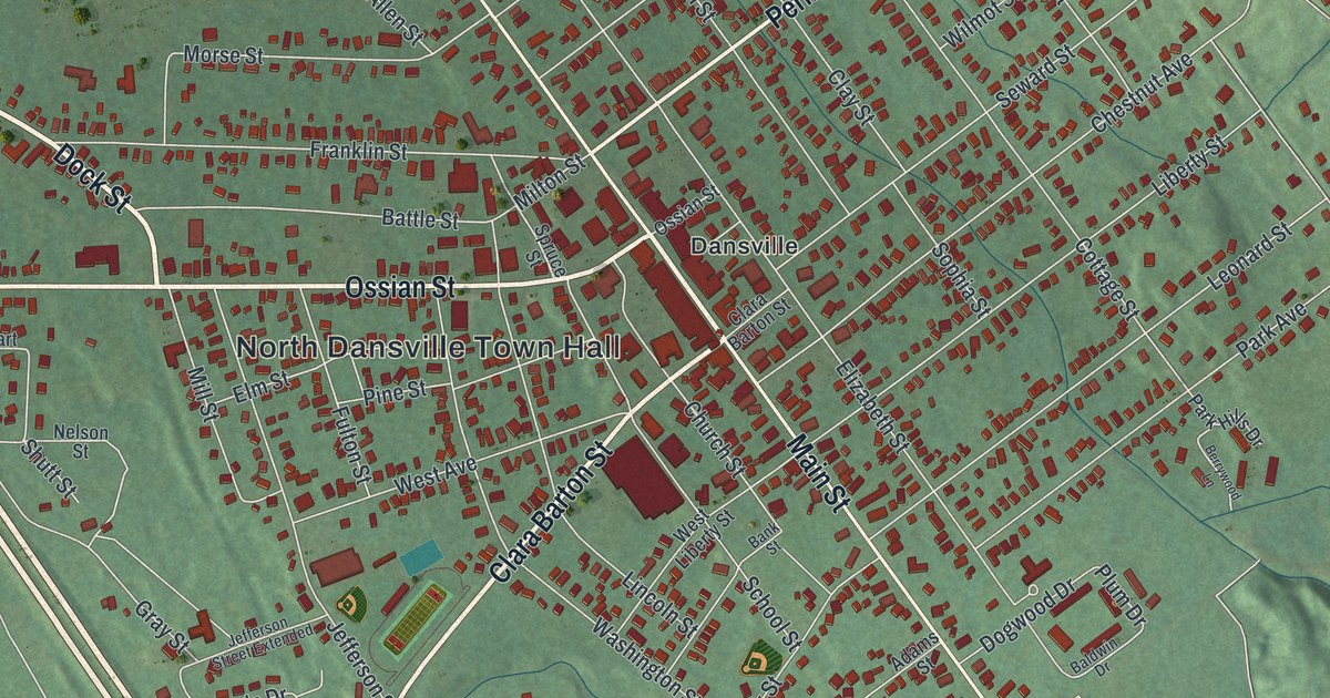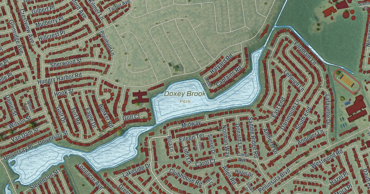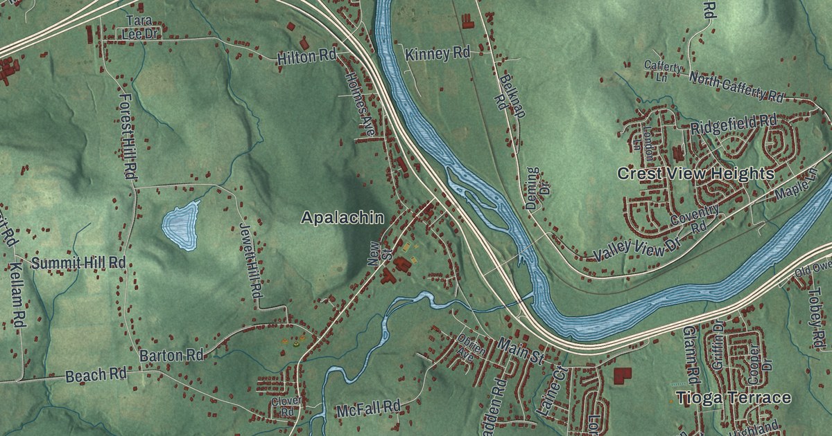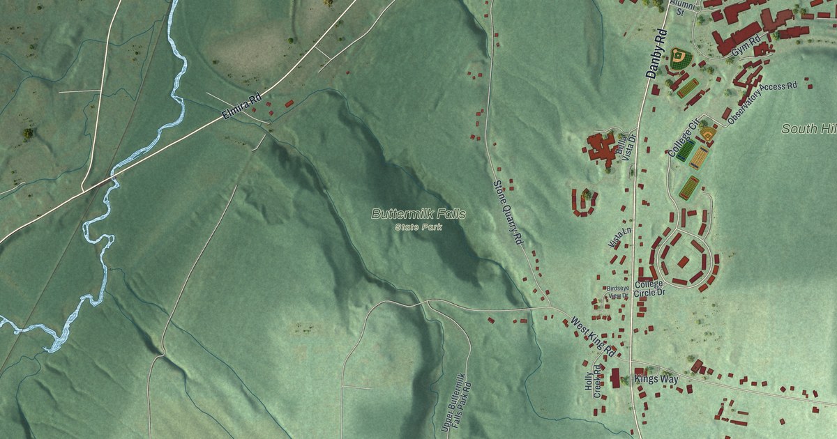
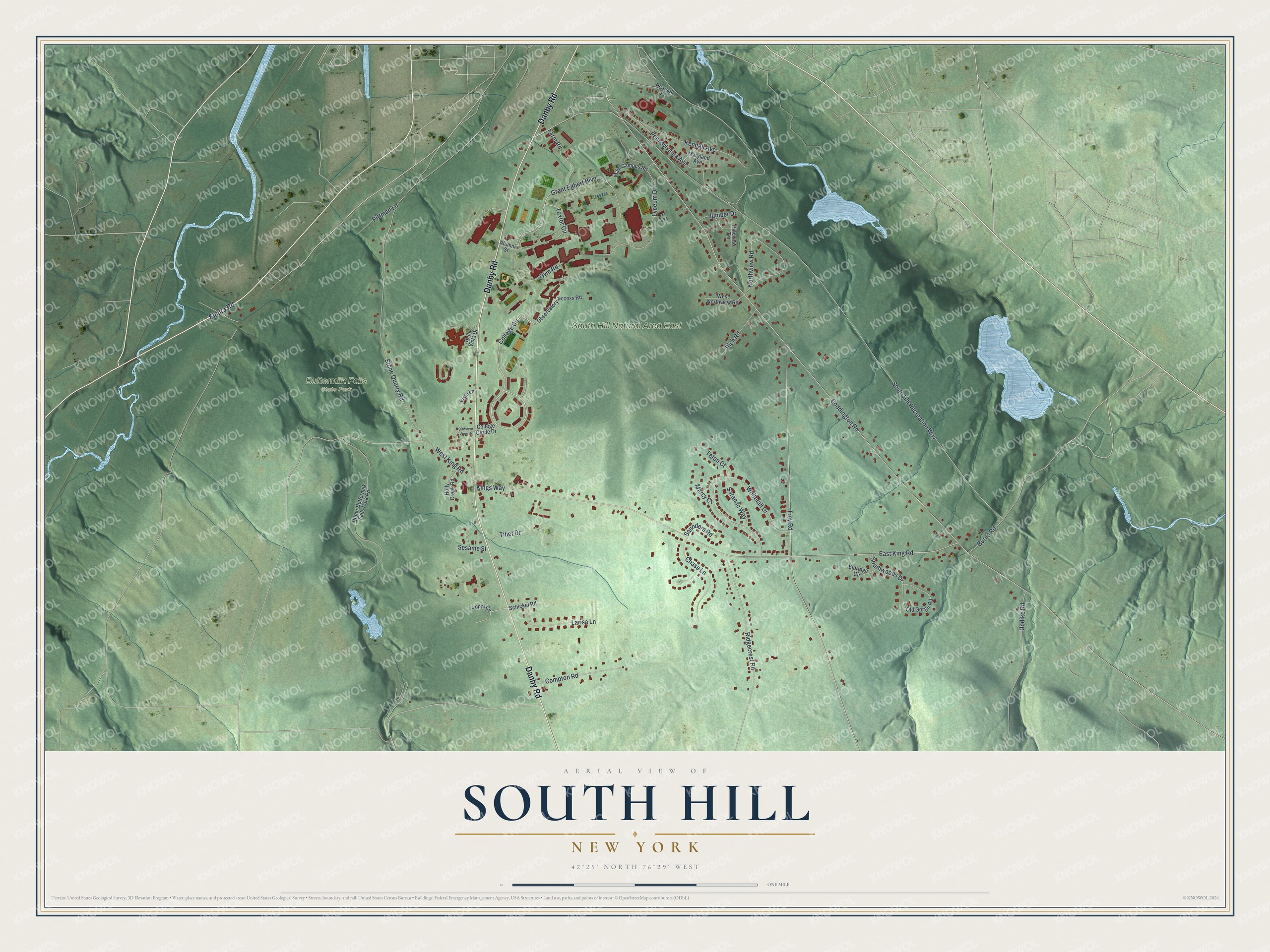
This beautifully detailed map of South Hill, New York was created in 2026 using aerial imagery combined with modern topographical, census, street and landmark data. It’s a one-of-a-kind view of South Hill that combines accurate data with a vintage aesthetic. The map shows every building in its true location, many of the roads carry their names, and the shaded topographic relief shows the shape of the land.
Explore an aerial view of South Hill, New York
On the map you’ll find Buttermilk Falls State Park, along with Danby Road, Elmira Road, College Circle, Grant Egbert Boulevard, Burns Road, and more. If you look closely you can even find your house accurately drawn in its correct location. Zoom in on the preview to look for yours.
Did You Know?
Ithaca College built its campus on South Hill in the 1960s. Students were bused between the old downtown site and the new campus while it went up. The last academic department moved up from downtown in 1968, finishing the move.
Take a closer look at the South Hill map
Names on this map
These names are printed on this map.
Places: Buttermilk Falls State Park and South Hill Natural Area East.
Streets and roads: Danby Road, College Circle, Grant Egbert Boulevard, Burns Road, Textor Circle, South Hill Recreation Way, Coddington Road, East King Road, Troy Road, Stone Quarry Road, Whitetail Drive, West King Road.
More street names, A to Z
Alumni Street, Bella Vista Drive, Birdseye View Drive, Chase Lane, College Circle Drive, Compton Road, Eldridge Circle, Elmira Road, Farm Road, Gym Road, Holly Creek Road, Jonni Circle, Juniper Drive, Kendall Avenue, Kings Way, Larisa Lane, Lyceum Drive, Main Campus Road, Marcy Court, Maryland Avenue, Northview Road, Observatory Access Road, Old Gorge Road, Pearsall Place, Pennsylvania Avenue, Pineview Terrace, Pittman Lane, Rich Road, Ridgecrest Road, Saranac Way, Saunders Road, Schickel Road, Sesame Street, Southwoods Drive, Teton Court, Tibet Drive, Updike Road, Upper Buttermilk Falls Park Road, Vista Lane, West Northview Road.
See it on a wall
The South Hill map as a framed print. Swipe for more.


This beautifully detailed map of South Hill makes an attractive addition to your office, library, or den, and it can even be used to teach children the geography and history of the area. It also makes a great gift for someone who left South Hill and still calls it home. When you’re done exploring, click here to get your copy of the South Hill map.