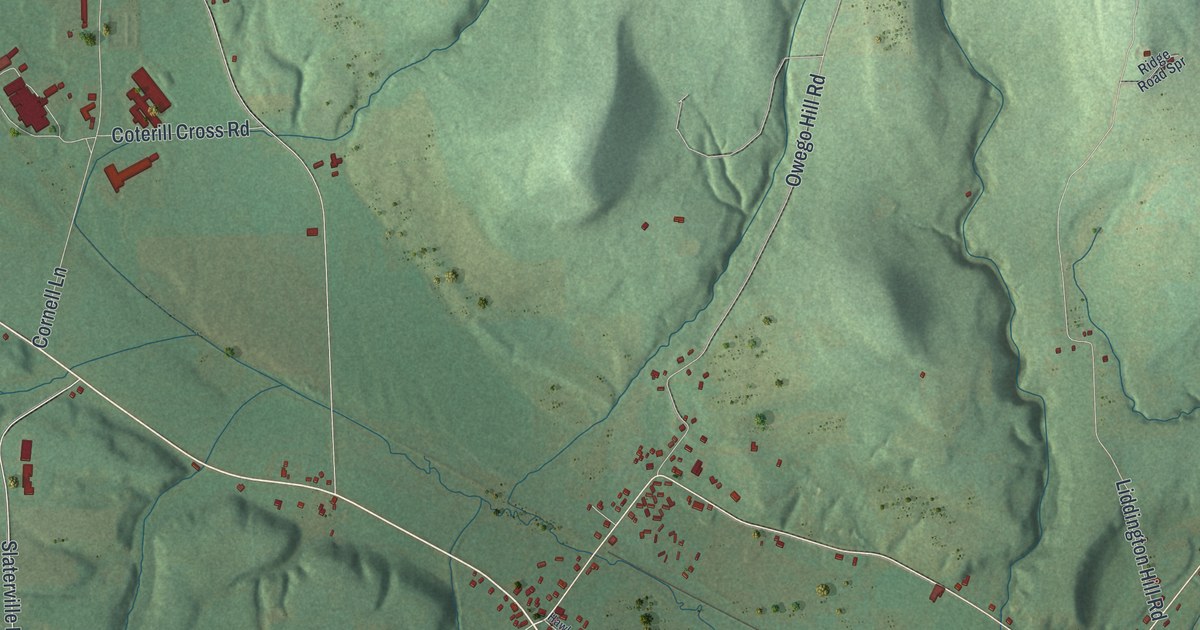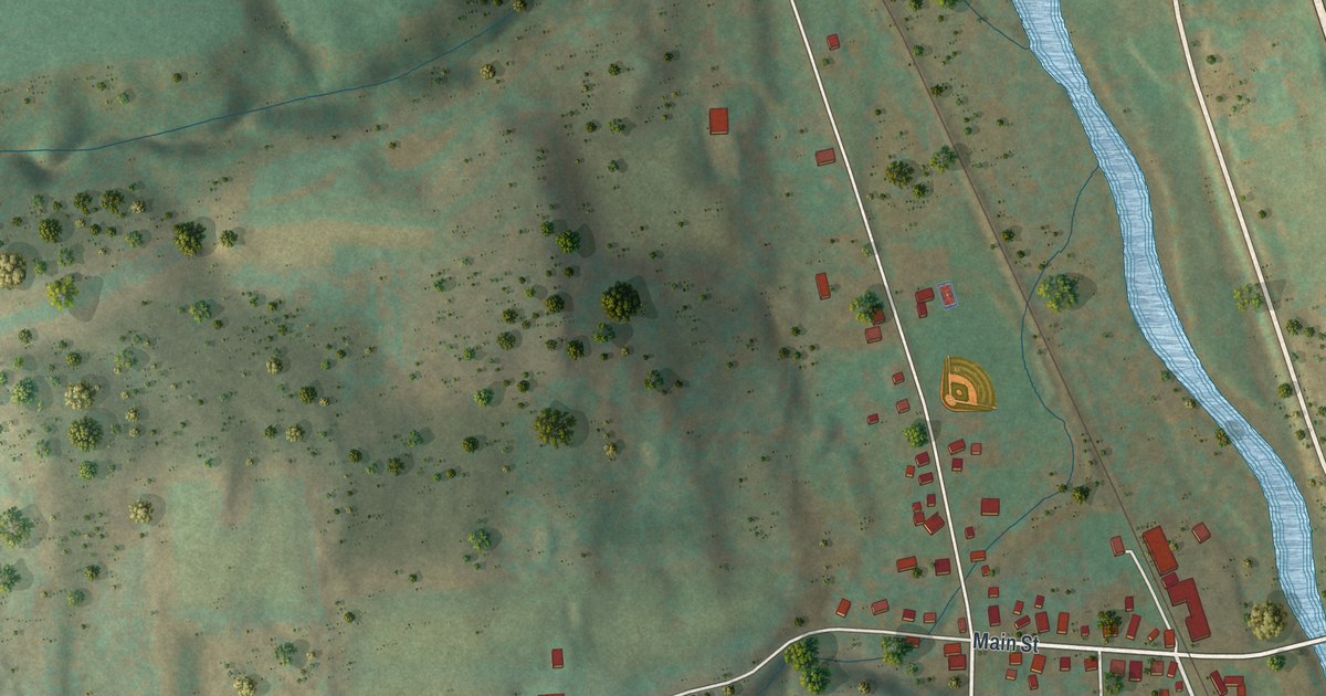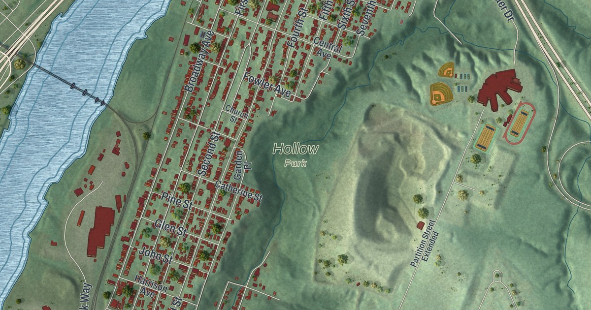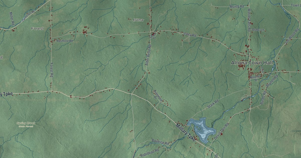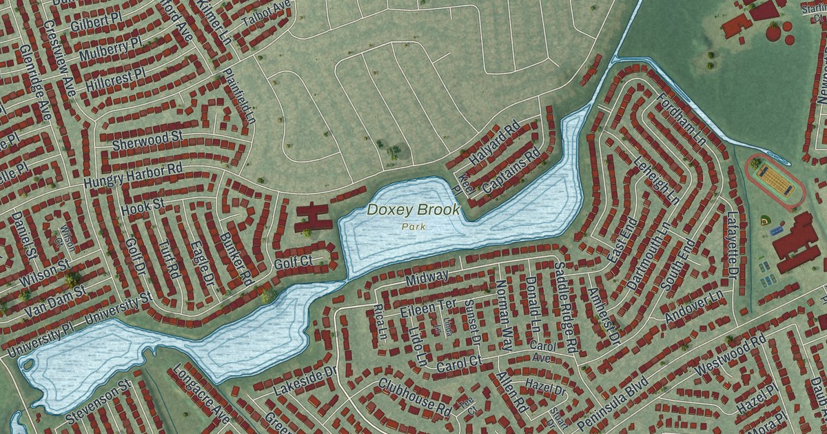
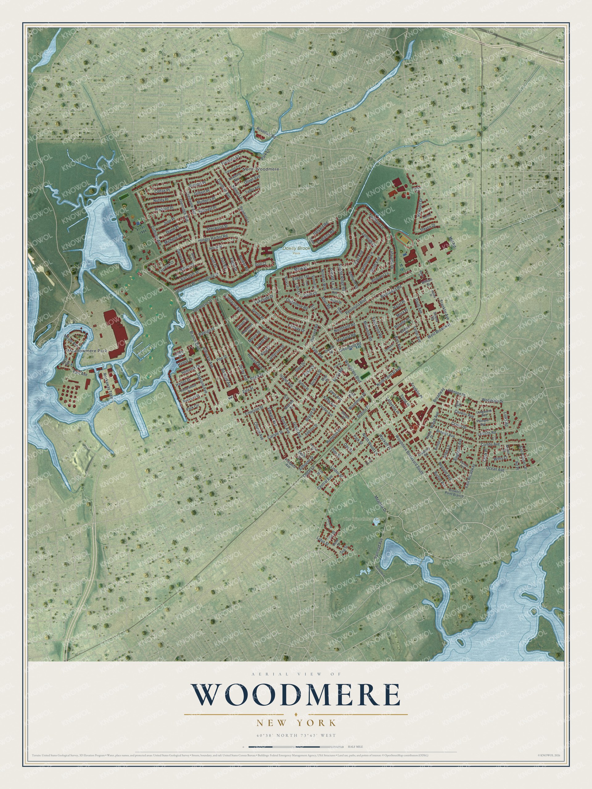
This beautifully detailed map of Woodmere, New York was created in 2026 using aerial imagery combined with modern topographical, census, street and landmark data. It’s a one-of-a-kind view of Woodmere that combines accurate data with a vintage aesthetic. The map shows every building in its true location, many of the roads carry their names, and the shaded topographic relief shows the shape of the land.
Explore an aerial view of Woodmere, New York
On the map you’ll find West Broadway, Meadowmere Park, North Woodmere, and Doxey Brook Park, along with Woodmere Boulevard, Rosedale Road, Branch Boulevard, Railroad Avenue, and more. If you look closely you can even find your house accurately drawn in its correct location. Zoom in on the preview to look for yours.
Take a closer look at the Woodmere map
Names on this map
These names are printed on this map.
Places: Doxey Brook Park, The Woodmere Club, Meadowmere Park and North Woodmere.
Streets and roads: Woodmere Boulevard, Woodmere Boulevard South, Rosedale Road, West Broadway, Branch Boulevard, Railroad Avenue, Midway, Combs Avenue, Rockaway Turnpike, Peninsula Boulevard, Broadway, Park Lane.
More street names, A to Z
Addison Street, Allen Lane, Allen Road, Althouse Street, Amherst Drive, Andover Lane, Arbuckle Avenue, Barnard Avenue, Barr Avenue, Benton Street, Briar Place, Brower Avenue, Browers Point Branch, Bryant Street, Bunker Road, Burton Avenue, Captains Road, Carlyle Street, Carman Avenue, Carol Avenue, Carol Court, Cedar Lane, Cedarwood Drive, Central Avenue, Centre Street, Church Avenue, Clark Place, Cliffside Avenue, Club Drive, Clubhouse Road, Colfax Place, Conklin Avenue, Cranford Avenue, Crawford Road, Crestview Avenue, Crestwood Road, Daniel Street, Dartmouth Lane, Daub Avenue, Derby Avenue, Diane Place, Dickens Street, Donald Lane, Dumont Place, Eagle Drive, East Avenue, East Broadway, East End, East Park Court, East Prospect Street, Eastwood Road, Edward Avenue, Eileen Terrace, Elm Street, Emerson Street, Eton Road, Fairway Drive, Fanwood Avenue, Felter Avenue, Fir Lane, Fiske Drive, Flanders Drive, Fordham Lane, Forest Avenue, Franklin Avenue, Franklin Place, Geoffrey Lane, Gilbert Place, Glen Drive, Glenridge Avenue, Golf Court, Golf Drive, Grant Avenue, Greenfield Road, Green Place, Halevy Drive, Halsey Street, Halyard Road, Hampton Road, Harbor Drive, Harvard Road, Haven Place, Hazel Drive, Hazel Place, Hemlock Drive, Hillcrest Place, Hook Street, Howard Avenue, Hungry Harbor Road, Ibsen Street, Ike Place, Iris Street, Irving Place, Island Avenue, Jefferson Street, Johnson Place, Jordan Avenue, June Place, Keel Place, Kilmer Lane, King Street, Kirby Avenue, Knota Road, Lafayette Drive, Lafayette Place, Lakeside Drive, Lark Court, Lefferts Road, Leheigh Lane, Lewis Avenue, Lido Lane, Linda Lane, Linden Street, Links Road, Loft Road, Longacre Avenue, Longworth Avenue, Lotus Street, Lowell Street, Lynn Place, Mayfield Road, Meadow Drive, Meyer Avenue, Michelle Place, Midfield Road, Midwood Road, Mill Road, Moore Street, Mora Place, Mulberry Place, Napoleon Street, Neptune Avenue, Nestor Street, Newburg Avenue, Newport Drive, Norman Way, North Central Avenue, Northfield Road, North Wood Lane, Nutley Place, Oakland Avenue, Oak Street, Ocean Avenue, Oliver Avenue, Oliver Street, Oxford Road, Palmyra Avenue, Park Circle, Park Street, Pearsall Place, Pine Street, Plainfield Lane, Poe Street, Prescott Place, Prospect Avenue, Quentin Place, Raleigh Street, Redwood Drive, Rica Lane, Roselle Place, Rose Street, Rutherford Lane, Saddle Ridge Road, Serena Road, Sherwood Lane, Sherwood Street, Singleton Avenue, Smith Street, South End, Starfire Court, Station Place, Steven Drive, Steven Place, Stevenson Street, Stuart Drive, Sunset Drive, Sutton Place, Talbot Avenue, Tee Court, Tenth Street, Tulip Street, Turf Road, University Place, University Street, Van Dam Street, Walsh Avenue, West Avenue, Westwood Road, William Street, Willis Court, Wilson Court, Wilson Street, Woodmere Place, Woodside Drive, Wood Street, Wyckoff Place, Yale Avenue, Zola Street.
See it on a wall
The Woodmere map as a framed print. Swipe for more.


This beautifully detailed map of Woodmere makes an attractive addition to your office, library, or den, and it can even be used to teach children the geography and history of the area. It also makes a great gift for anyone who grew up in Woodmere or moved away. When you’re done exploring, click here to get your copy of the Woodmere map.