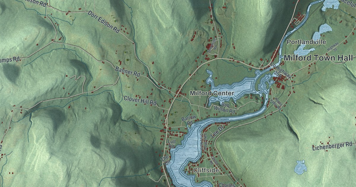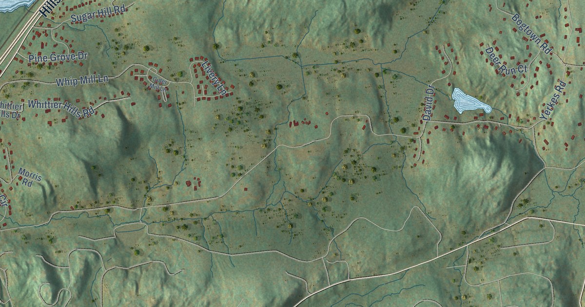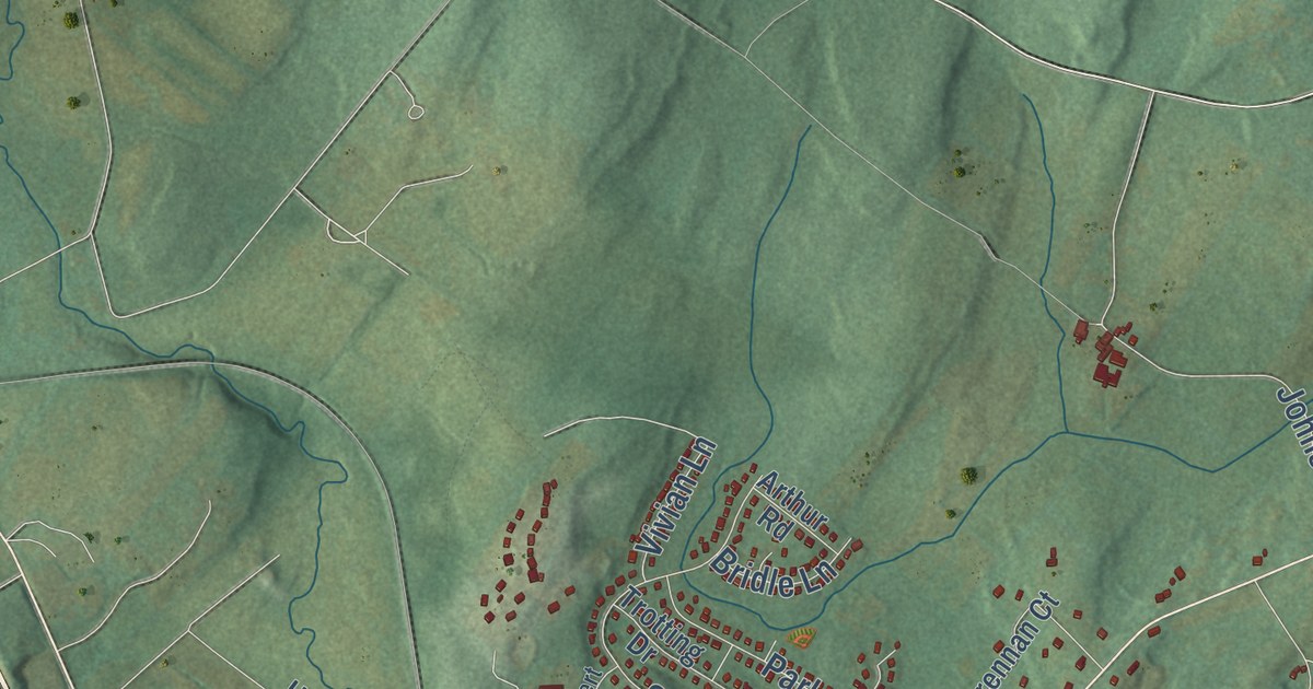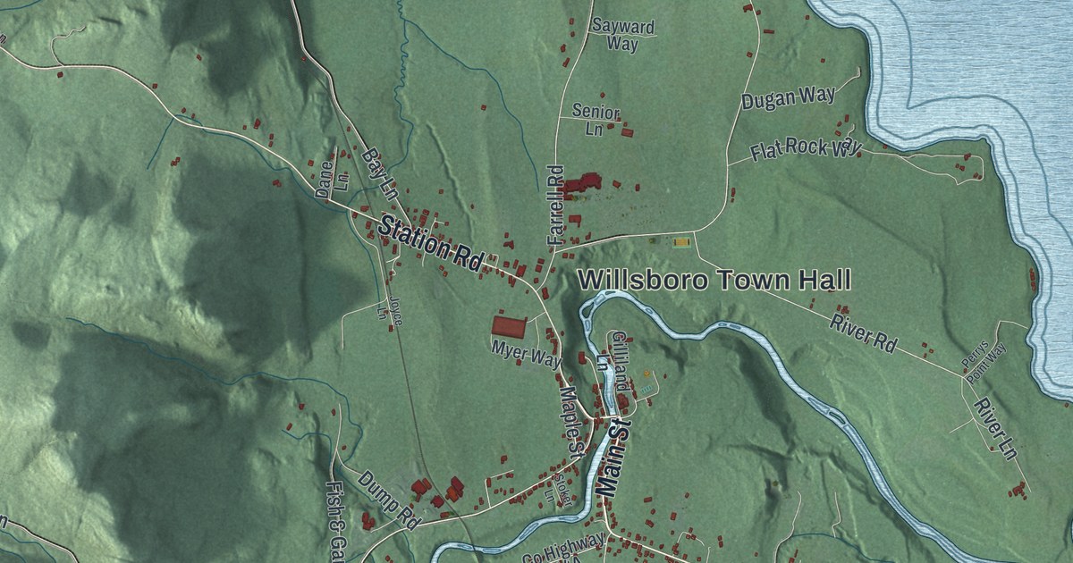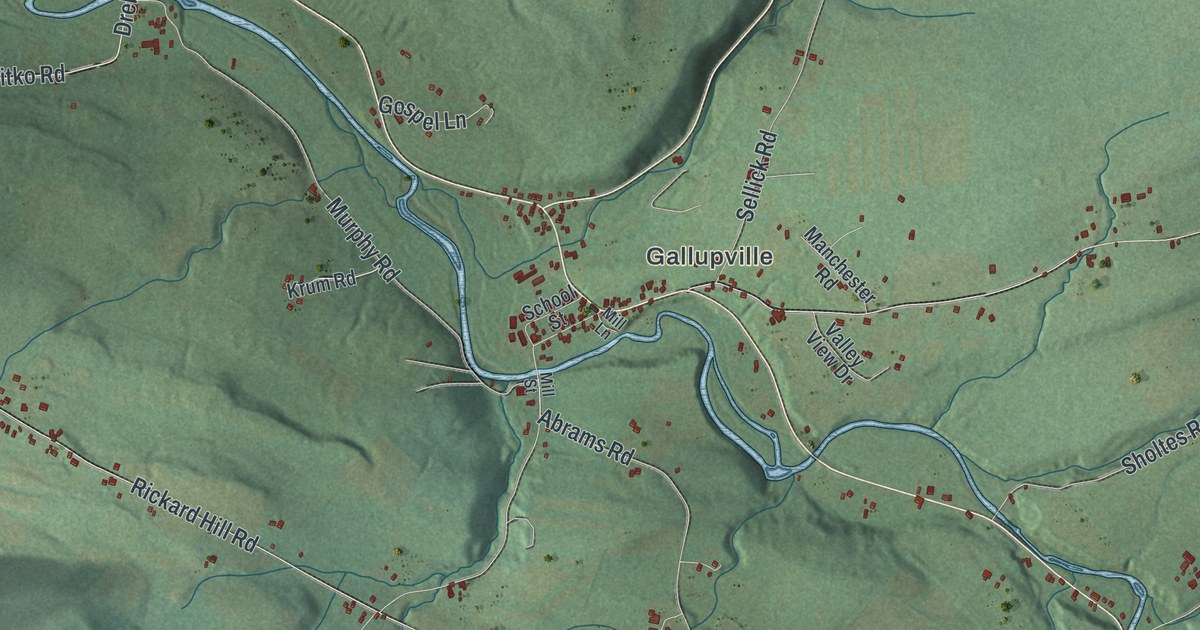
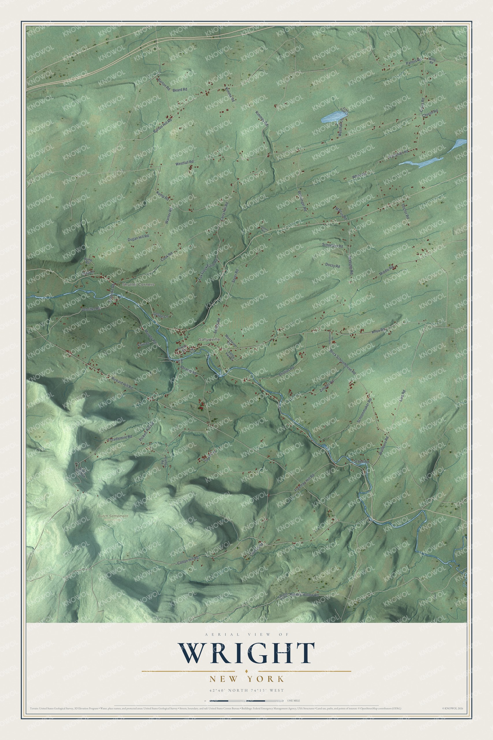
This beautifully detailed map of Wright, New York was created in 2026 using aerial imagery combined with modern topographical, census, street and landmark data. It’s a one-of-a-kind view of Wright that combines accurate data with a vintage aesthetic. The map shows every building in its true location, many of the roads carry their names, and the shaded topographic relief shows the shape of the land.
Explore an aerial view of Wright, New York
On the map you’ll find Shutter Corners, Gallupville, and Dutch Settlement State Forest, along with Ostrander Road, Cross Road, Church Road, Pannis Road, Haverly Hollow Road, and more. If you look closely you can even find your house accurately drawn in its correct location. Zoom in on the preview to look for yours.
Did You Know?
Wright is named for Governor Silas Wright. The Jacob Becker family settled here in 1735. Johannus Becker put up a stone house in 1772, and it still stands. Tories and Native Americans attacked the house on July 26, 1782, in the Revolution. The Beckers held them off.
Take a closer look at the Wright map
Names on this map
These names are printed on this map.
Places: Shutter Corners, Gallupville and Dutch Settlement State Forest.
Streets and roads: Ostrander Road, Cross Road, Church Road, Pannis Road, Haverly Hollow Road, Westfall Road, Line Road, Wolfboro Road, Brick Schoolhouse Road, Barton Hill Road, Debritko Road, Drebitko Road.
More street names, A to Z
Abrams Road, Barton Road, Beard Road, Benninger Road, Canaday Hill Road, Carlson Road, Child Lane, Cook Road, Cotton Hill Road, Doctor Road, Dozzy Road, Dugan Hill Road, Dump Road, Echo Pond Lane, Fox Creek Farm Road, Freeman Hill Road, Gathen Road, Gospel Lane, Kimmey Road, Kimmy Road, Knox Road, Krum Road, Kump Road, Larry Hill Road, Manchester Road, Marcus Road, Middle Road, Mill Lane, Mill Street, Murphy Road, Ogsbury Way, Pickett Hill Road, Rickard Hill Road, Schell Road, Schoelein Road, Schoolhouse Road, School Street, Schoonmaker Road, Sellick Road, Sever Road, Sholtes Road, Stolzenburg Road, Super Lou Boulevard, Treadlemire Road, Valley View Drive, Warner Road, Webster Road, Westfall Lane, White Road, Witty Road, Zimmer Road.
See it on a wall
The Wright map as a framed print. Swipe for more.


This beautifully detailed map of Wright makes an attractive addition to your office, library, or den, and it can even be used to teach children the geography and history of the area. It also makes a great gift for anyone who grew up in Wright or moved away. When you’re done exploring, click here to get your copy of the Wright map.