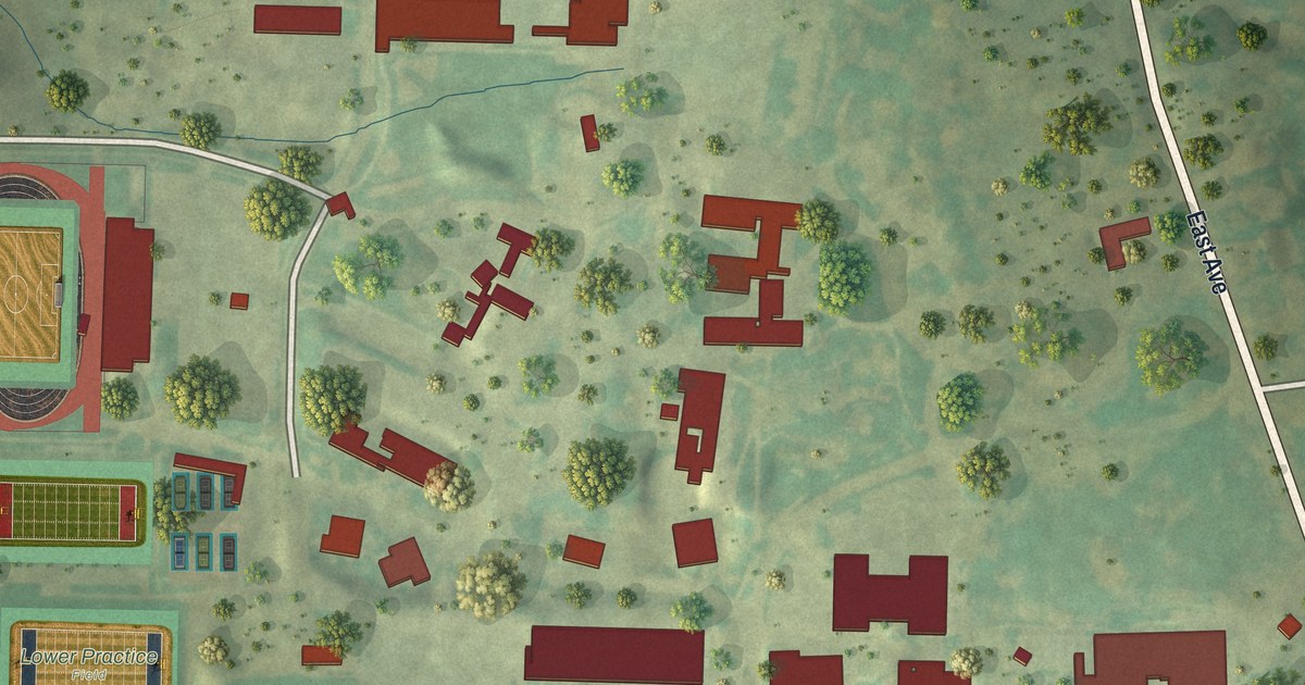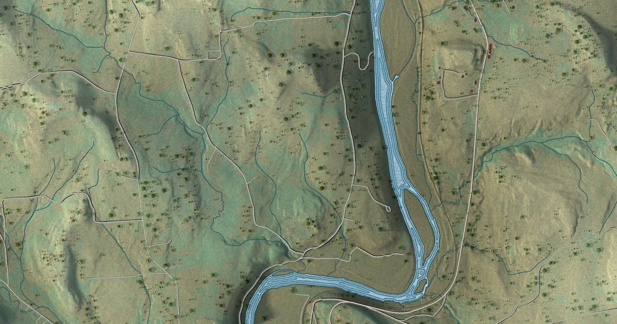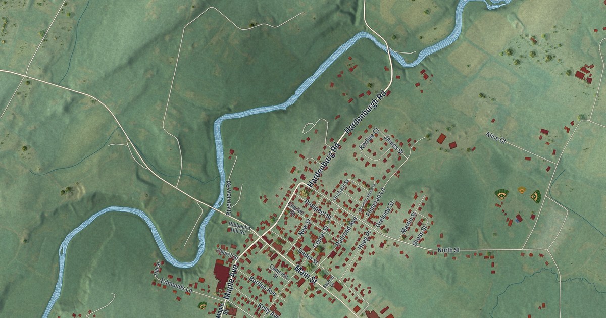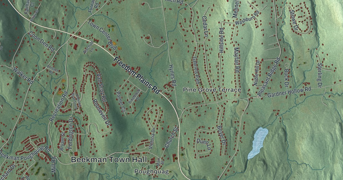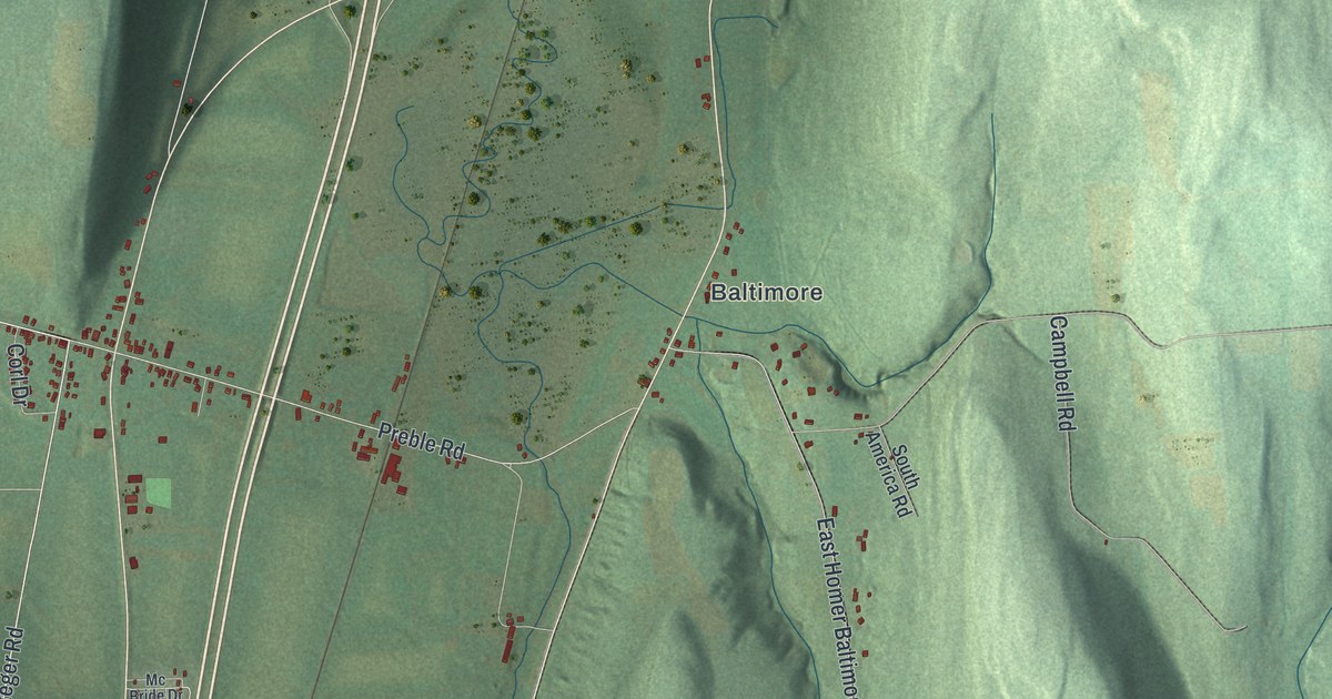
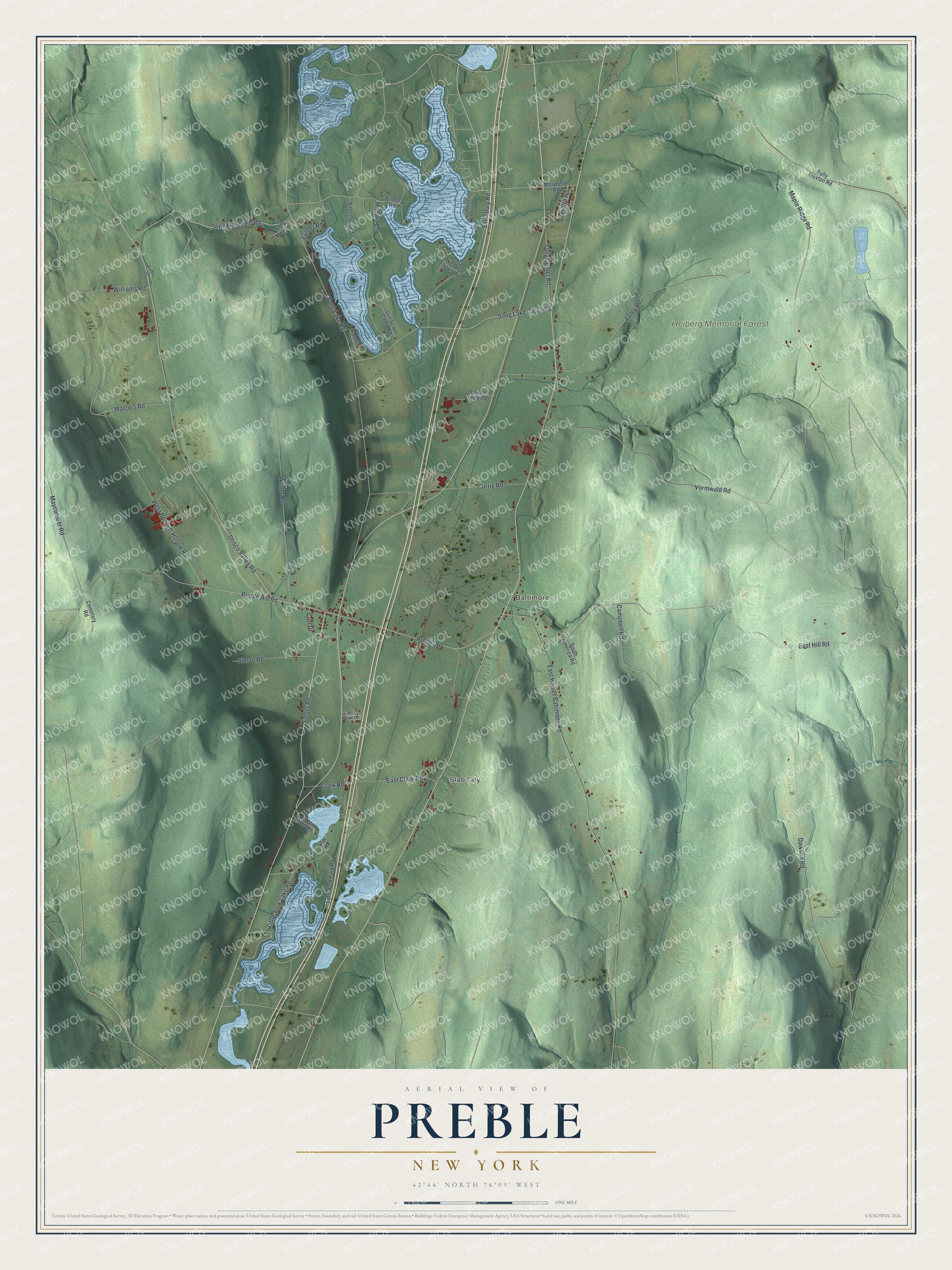
This beautifully detailed map of Preble, New York was created in 2026 using aerial imagery combined with modern topographical, census, street and landmark data. It’s a one-of-a-kind view of Preble that combines accurate data with a vintage aesthetic. The map shows every building in its true location, many of the roads carry their names, and the shaded topographic relief shows the shape of the land.
Explore an aerial view of Preble, New York
On the map you’ll find Slab City, Baltimore, and Heiberg Memorial Forest, along with Steger Road, Clark Road, Maple Ridge Road, Bennett Hollow Road, Vormwald Road, and more. If you look closely you can even find your house accurately drawn in its correct location. Zoom in on the preview to look for yours.
Did You Know?
Preble honors Commodore Edward Preble, a hero of the early American navy. The land lay in the old Military Tract and was settled around 1796. Preble was organized in 1808, the same year Cortland County began, and it was one of the county’s first towns.
Take a closer look at the Preble map
Names on this map
These names are printed on this map.
Places: Slab City, Baltimore and Heiberg Memorial Forest.
Streets and roads: Steger Road, Otisco Valley Road, East Clark Road, Maple Ridge Road, West Bennett Hollow Road, Vormwald Road, Song Lake Road, East Hill Road, Foley Road, East Homer Baltimore Road, Preble Hill Road, Dawson Road.
More street names, A to Z
Buffalo Street, Campbell Road, Cemetery Road, Clark Road, Corl Drive, Cummings Point Road, Currie Road, Evans Road, Fietta Road, Friendly Shores Road, Fulmer Road, Girl Scout Camp Road, Green Lake Road, Little York Lake Road, Little York Park Road, Mallard Lane, Marybelle Road, Masters Road, Maycumber Road, Mc Bride Drive, New Road, Palmer Road, Preble Road, Rittenhouse Square, Saulsbury Road, Simon Road, Song Lake Crossing, Song Mountain Road, Song Mount Drive, South America Road, Thomas Albert Drive, Tully Center Road, Tully Truxton Road, Williams Road, Wright Road.
See it on a wall
The Preble map as a framed print. Swipe for more.


This beautifully detailed map of Preble makes an attractive addition to your office, library, or den, and it can even be used to teach children the geography and history of the area. It also makes a great gift for anyone with Preble roots. When you’re done exploring, click here to get your copy of the Preble map.