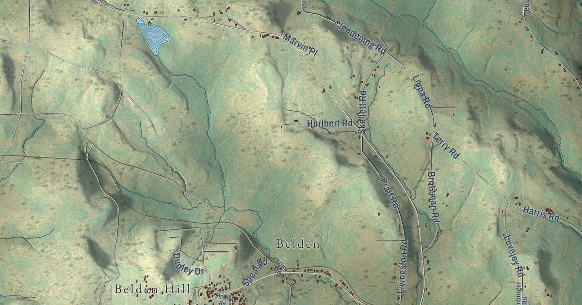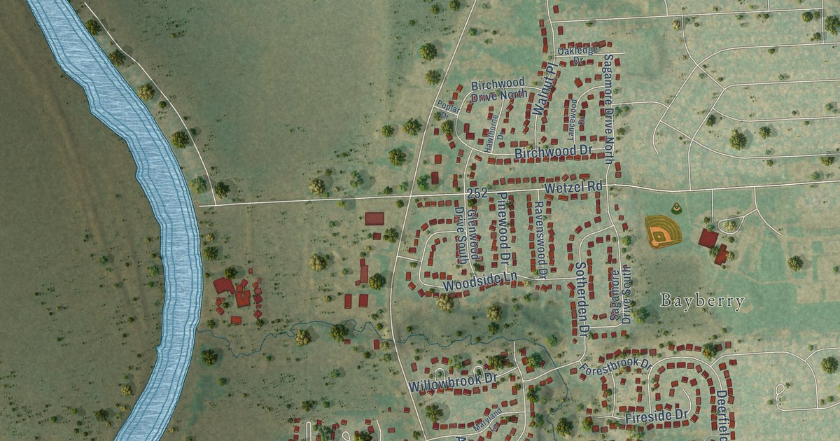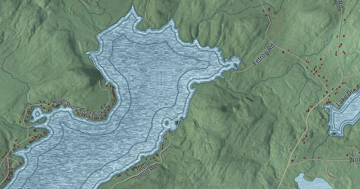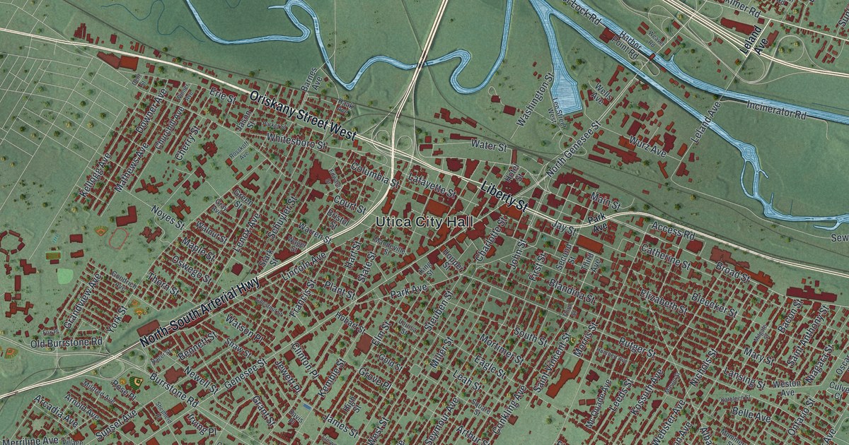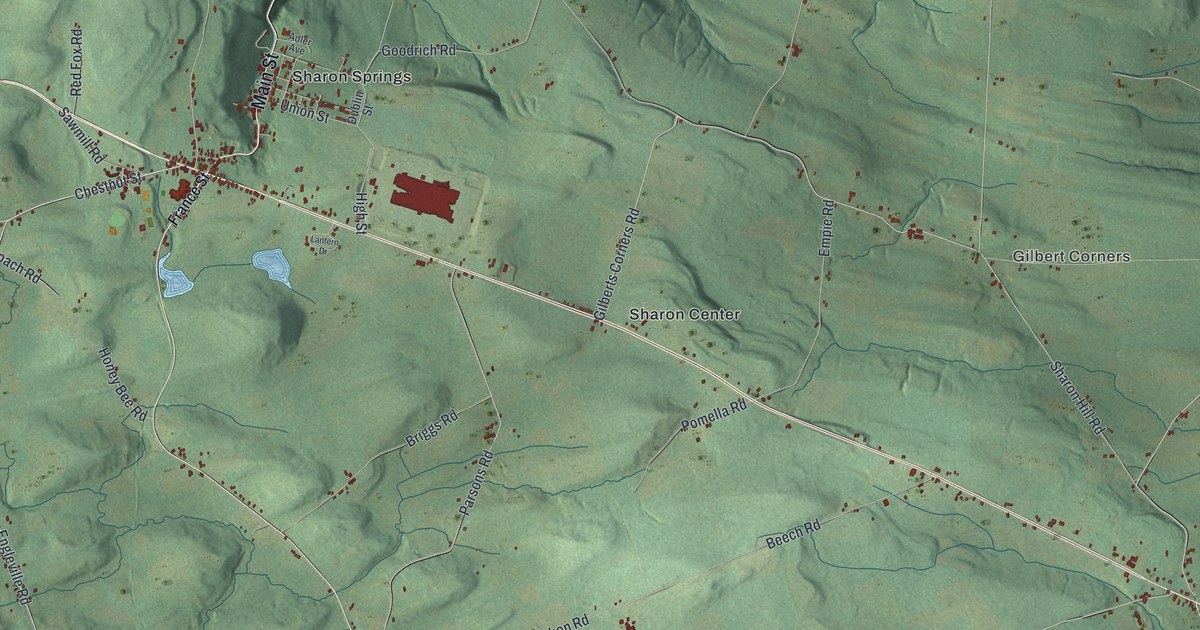
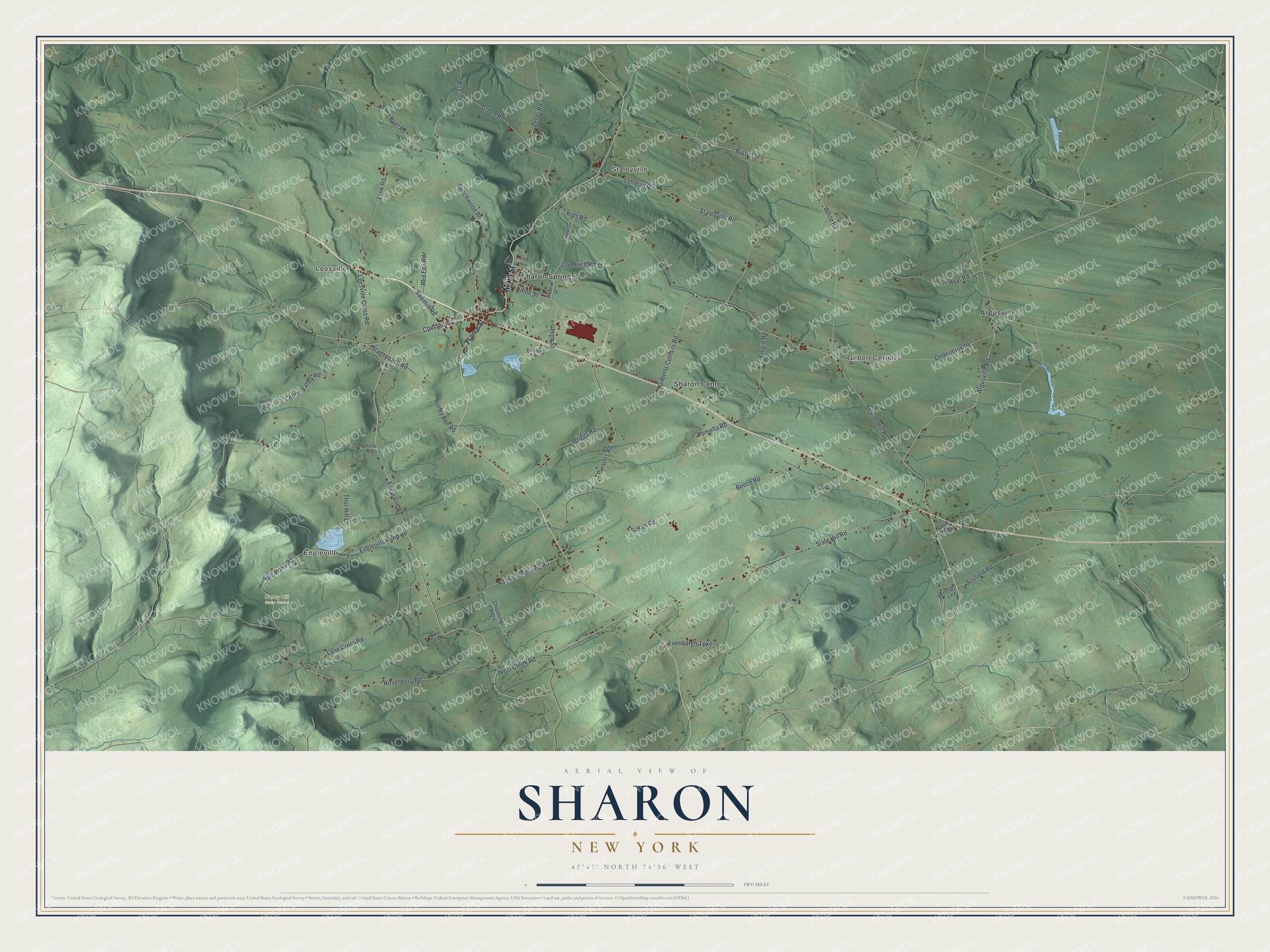
This beautifully detailed map of Sharon, New York was created in 2026 using aerial imagery combined with modern topographical, census, street and landmark data. It’s a one-of-a-kind view of Sharon that combines accurate data with a vintage aesthetic. The map shows every building in its true location, many of the roads carry their names, and the shaded topographic relief shows the shape of the land.
Explore an aerial view of Sharon, New York
On the map you’ll find Engleville, Leesville, Staleyville, Gilbert Corners, Argusville, and Honey Hill State Forest, along with Main Street, France Street, Chestnut Street, Jones Road, Beechwood Road, and more. If you look closely you can even find your house accurately drawn in its correct location. Zoom in on the preview to look for yours.
Did You Know?
Settlers arrived around 1780 and first called the place New Dorlach, after a spot in Germany they knew. When the town was created in 1797, it took the name of a Connecticut place, the old home of some early settlers. After the Erie Canal opened in 1825, traffic fell on the main turnpike through town.
Take a closer look at the Sharon map
Names on this map
These names are printed on this map.
Places: Engleville, Leesville, Staleyville, Gilbert Corners, Honey Hill State Forest, Argusville, Sharon Center and Sharon Springs.
Streets and roads: Main Street, Center Valley Road, Chestnut Street, Jones Road, Beechwood Road, Sharon Hill Road, White Road, Buel Road, Argusville Road, Scofield Road, Engleville Pond Road, Sakon Road.
More street names, A to Z
Adler Avenue, Beech Road, Bellinger Lane, Briggs Road, Burr Lane, Button Street, Chipmunk Alley, Doyle Road, Dublin Street, Empie Road, Engleville Road, France Street, Gilberts Corners Road, Goodrich Road, Green Road, Hanson Crossing Road, High Street, Hone Road, Honey Bee Road, Hoyt Road, Kilts Road, Lane Cross Road, Lantern Drive, Leesville Cross Road, Lehman Road, Luenburgh Turnpike, Lynk Road, Mill Pond Road, Onderdunk Road, Parsons Road, Pomella Road, Red Fox Road, Rosenberg Road, Sauerman Road, Sawmill Road, Short Road, Shultz Road, Slate Hill Road, Stagecoach Road, Staleyville Road, Thor Hill Lane, Union Street, West Creek Road, Zeller Road.
See it on a wall
The Sharon map as a framed print. Swipe for more.


This beautifully detailed map of Sharon makes an attractive addition to your office, library, or den, and it can even be used to teach children the geography and history of the area. It also makes a great gift for anyone with Sharon roots. When you’re done exploring, click here to get your copy of the Sharon map.