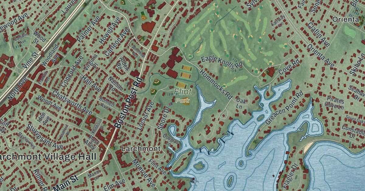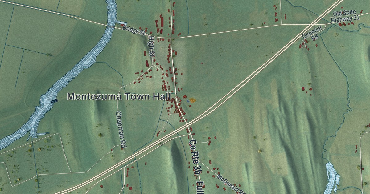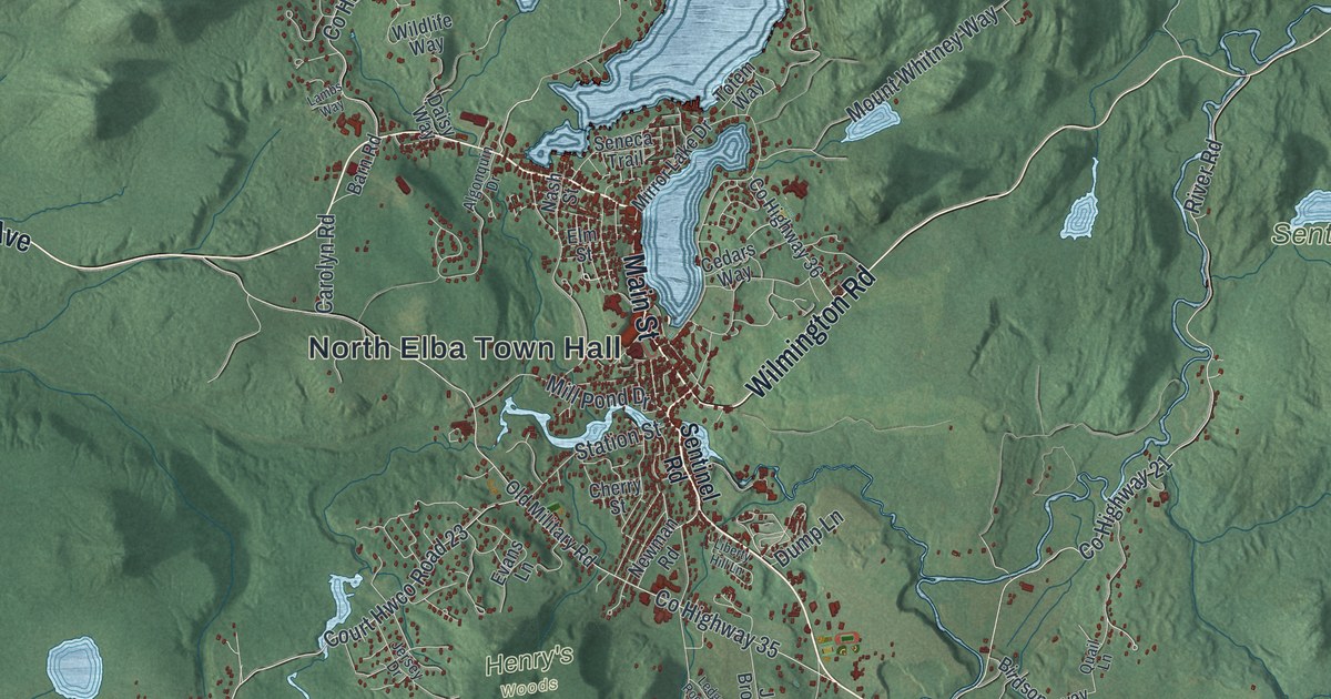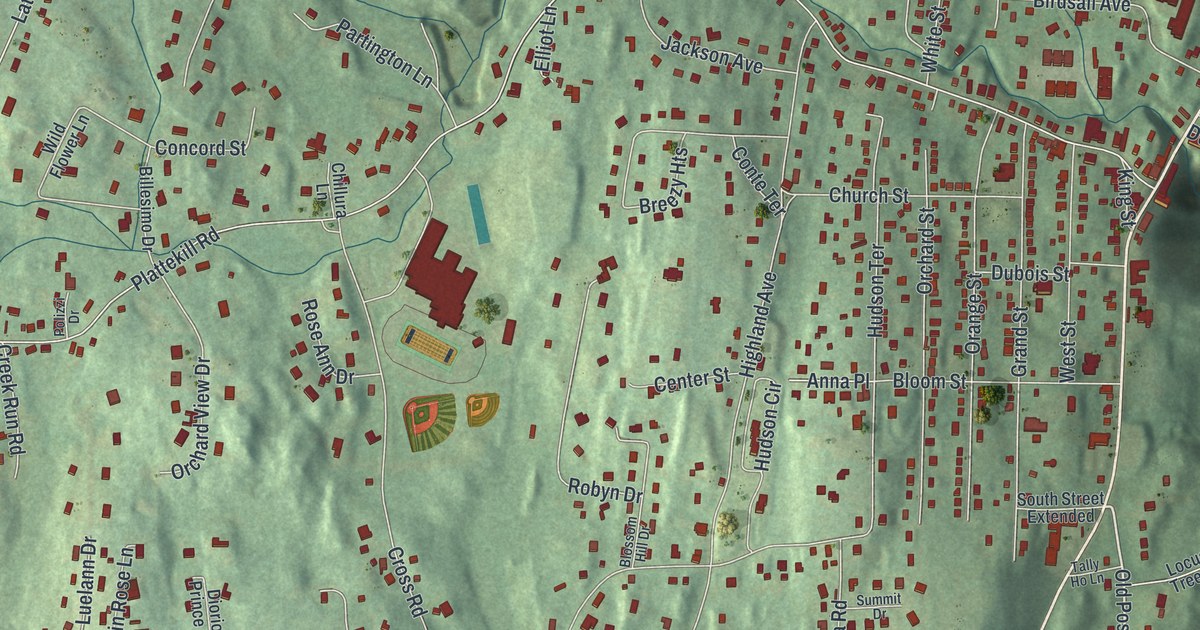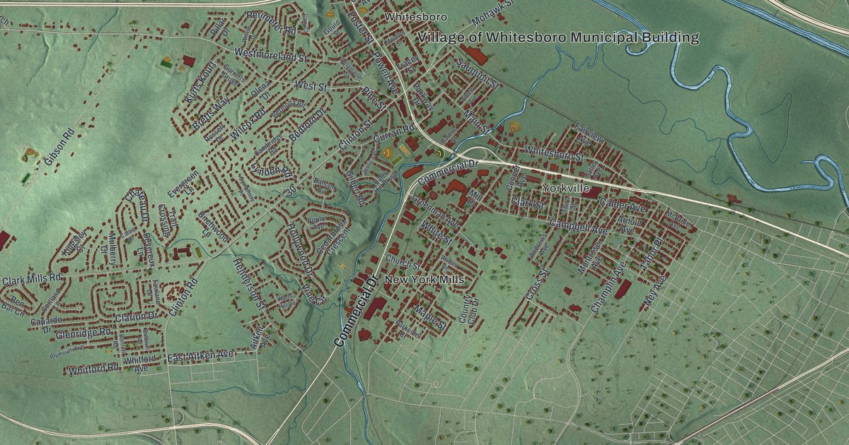
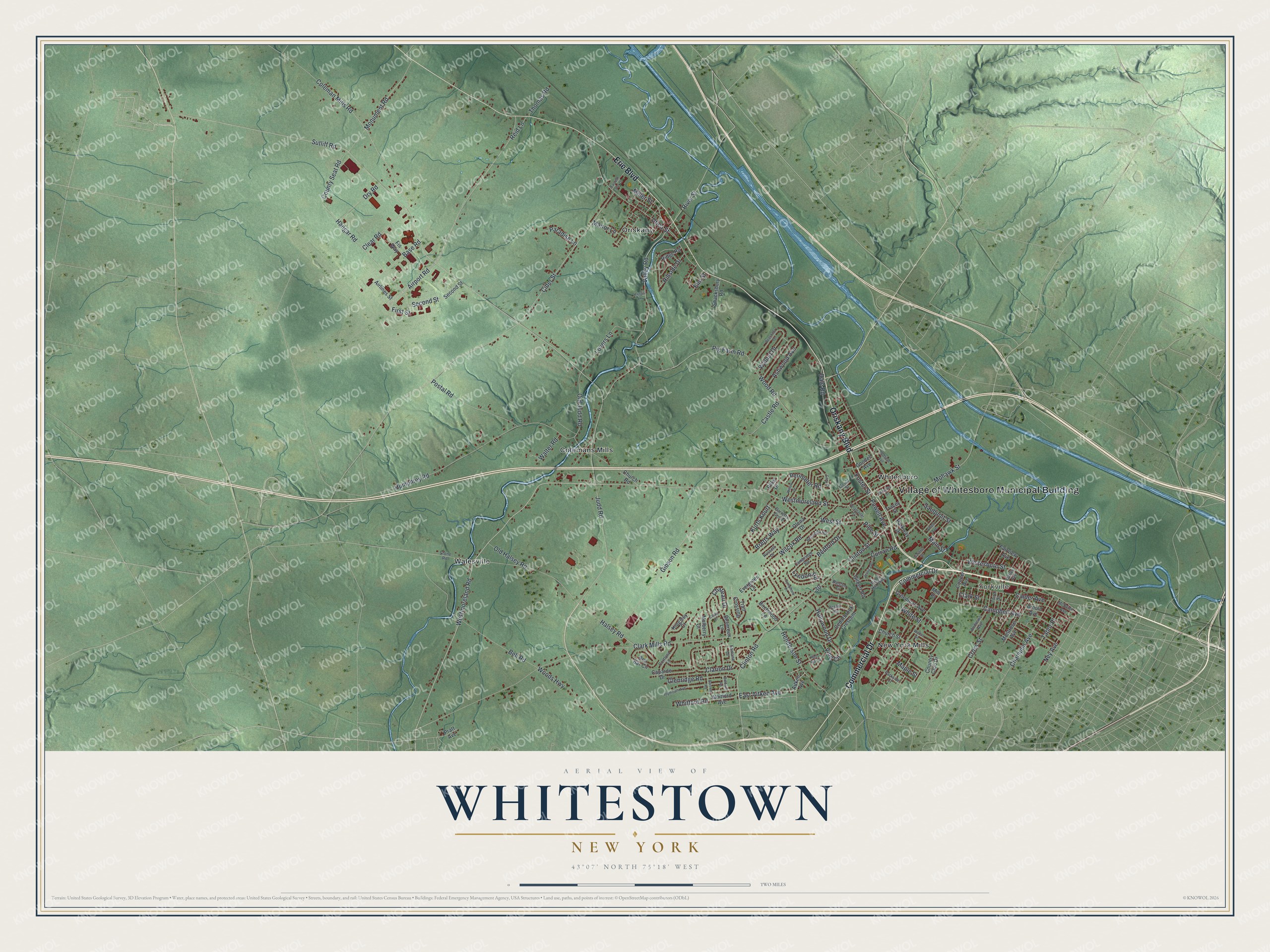
This beautifully detailed map of Whitestown, New York was created in 2026 using aerial imagery combined with modern topographical, census, street and landmark data. It’s a one-of-a-kind view of Whitestown that combines accurate data with a vintage aesthetic. The map shows every building in its true location, many of the roads carry their names, and the shaded topographic relief shows the shape of the land.
Explore an aerial view of Whitestown, New York
On the map you’ll find Yorkville, Colemans Mills, New York Mills, Oriskany, and Walesville, along with Oriskany Boulevard, Commercial Drive, Erie Boulevard, Westmoreland Road, Aitken Avenue, and more. If you look closely you can even find your house accurately drawn in its correct location. Zoom in on the preview to look for yours.
Did You Know?
Judge Hugh White scouted this land by traveling the Mohawk River in 1784. On June 5 of that year, he and his family reached the mouth of Sauquoit Creek and settled in the forest. The town took his name. It is called the Mother of Towns, since so many towns and counties were later carved from it.
Take a closer look at the Whitestown map
Names on this map
These names are printed on this map.
Places: Village of Whitesboro Municipal Building, Yorkville, Colemans Mills, New York Mills, Oriskany, Walesville and Whitesboro.
Streets and roads: Oriskany Boulevard, Commercial Drive, Erie Boulevard, Westmoreland Road, East Aitken Avenue, Westmoreland Street, West Street, Judd Road, Whitesboro Street, Bedford Drive, Bell Road, Hangar Road.
More street names, A to Z
Ablett Avenue, Airlines Street, Airport Road, Aitken Avenue, Andrews Avenue, Arnold Avenue, Ashwood Avenue, Baldwin Road, Balsam Circle, Bartlett Road, Base Road, Beechnut Terrace, Ben Bar Circle, Bermuda Road, Birchwood Lane, Bretts Way, Calais Drive, Calder Avenue, Cambridge Road, Campbell Avenue, Capardo Drive, Cary Court, Castle Road, Cedarbrook Crescent, Champlin Avenue, Chateau Drive, Church Road, Church Street, Cider Street, Clarion Drive, Clark Mills Road, Clark Street, Clear Road, Clinton Road, Clinton Street, Coleman Mills Road, Cooper Avenue, Cortland Lane, Country Club Drive, County Seat Road, Cross Street, Curran Road, Dale Road, Delamarter Street, Devereux Lane, Dry Road, Eastern Star Drive, Elm Street, Evergreen Lane, Fairlane Drive, Fairview Avenue, First Street, Fis Way, Foster Street, Gardner Street, Garretts Grove, Gibson Road, Gilbert Road, Glenridge Road, Goodell Avenue, Gould Street, Greenman Avenue, Haggis Lane, Halsey Road, Harts Hill Circle, Harts Hill Parkway, Henderson Street, Hillside Drive, Hollywood Drive, Humphrey Road, Jessica Place, Kingsley Court, Kurts Kourt, Lovers Lane, Lyndon Road, Main Street, Manor Lane, Maple Street, McBride Avenue, Miller Street, Mill Place, Mohawk Street, Montrose Avenue, Monument Road, Moseley Street, Mulberry Court, Ney Avenue, Oatley Avenue, Old Halsey Road, Old Judd Road, Olena Drive, Paradise Lane, Parkside Court, Parkway Drive, Perimeter Road, Pig Farm Road, Pillar Drive, Pine Street, Plymouth Avenue, Poplar Avenue, Postal Road, Powell Avenue, Pratt Avenue, Redfield Avenue, Reid Lane, Ridge Road, River Street, Russett Drive, Sauquoit Street, Second Street, Shacksbury Road, Stone Road, Sutliff Road, Symphony Place, Tabor Place, Third Street, Thomas Road, Tracey Street, Trail Crossing, Utica Street, Valley Road, Vine Circle, Wadas Drive, Walnut Drive, Walter Road, White Street, Whitford Avenue, Whitford Road, Wilcox Road, Willow Drive, Wood Road, Woods Highway.
See it on a wall
The Whitestown map as a framed print. Swipe for more.


This beautifully detailed map of Whitestown makes an attractive addition to your office, library, or den, and it can even be used to teach children the geography and history of the area. It also makes a great gift for someone who left Whitestown and still calls it home. When you’re done exploring, click here to get your copy of the Whitestown map.