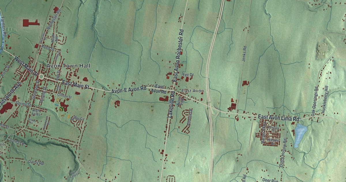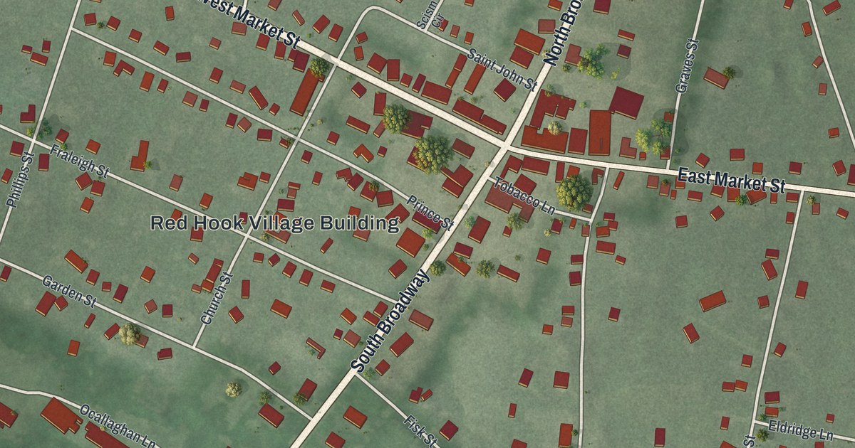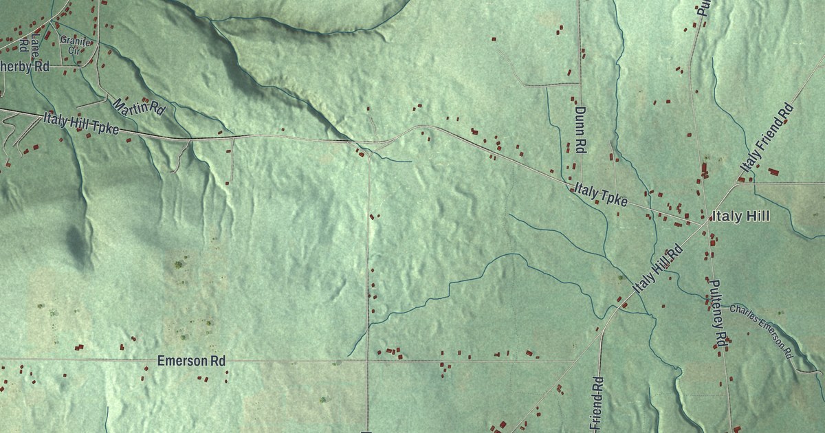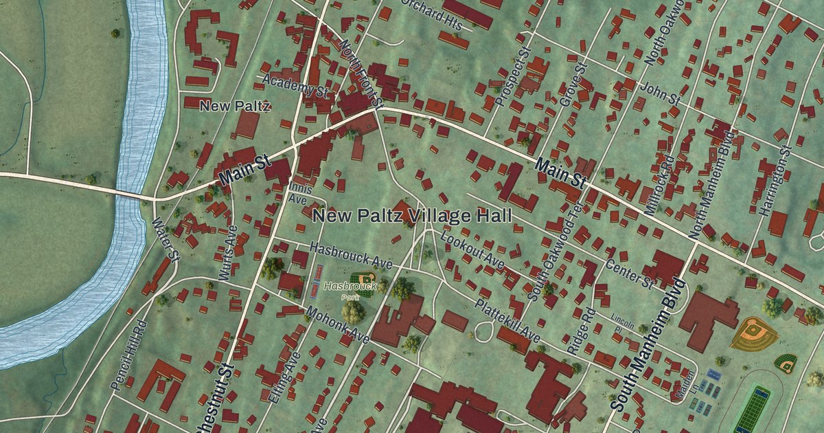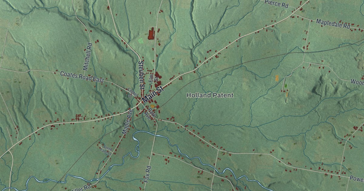
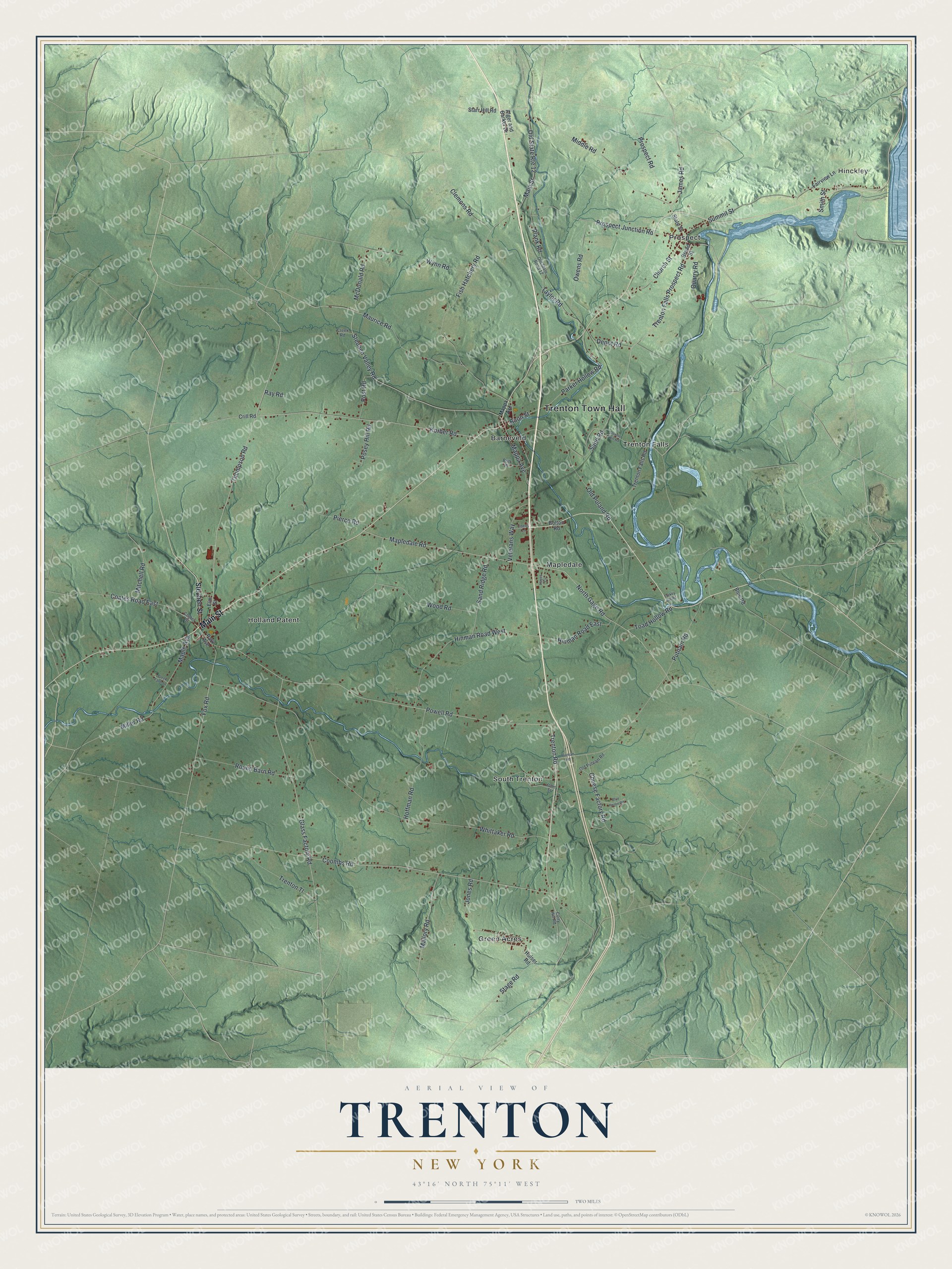
This beautifully detailed map of Trenton, New York was created in 2026 using aerial imagery combined with modern topographical, census, street and landmark data. It’s a one-of-a-kind view of Trenton that combines accurate data with a vintage aesthetic. The map shows every building in its true location, many of the roads carry their names, and the shaded topographic relief shows the shape of the land.
Explore an aerial view of Trenton, New York
On the map you’ll find Trenton Town Hall, Hinckley, Barneveld, Green Acres, Holland Patent, and Mapledale, along with Main Street, Steuben Street, Trenton Falls Prospect Road, Fox Road, and more. If you look closely you can even find your house accurately drawn in its correct location. Zoom in on the preview to look for yours.
Did You Know?
Gerrit Boon started the first settlement here in 1793, at Barneveldt. He worked for the Holland Land Company as its agent. Boon returned to Holland after a few years. Adam Gerard Mappa, a Dutch typesetter, took his place. The town itself was formed in 1797.
Take a closer look at the Trenton map
Names on this map
These names are printed on this map.
Places: Trenton Town Hall, Hinckley, Barneveld, Green Acres, Holland Patent, Mapledale, Prospect, South Trenton and Trenton Falls.
Streets and roads: Main Street, Trenton Falls Prospect Road, Fox Road, Trenton Road, Prospect Road, Thompson Road, Boon Street, Coates Road East, Miller Road, Whittaker Road, Powell Road, Coombs Road.
More street names, A to Z
Alger and Barker Drive, Blue Heron Road, Blue Road, Bolton Road, Britt Place, Broad Street, Center Street, Cheese Factory Road, Church Street, Clemons Road, Creek Farm Lane, Creek Road, Crill Road, Curry Hill Road, Depot Road, Downer Hill Road, Elm Street, Fairview Lane, Fish Hatchery Road, Glass Factory Road, Hayes Circle, Hinman Road East, Hinman Road West, Hoffman Road, Hulser Road, James Road, John Street, Jones Road, Korber Road, Liberty Lane, Mallory Road, Maple Avenue, Mapledale Road, Mappa Avenue, Maurice Road, McDonald Road, Middle Road, Mitchell Road, North Gage Road, Old Poland Road, Old Putnam Road, Old State Road 12, Old State Route 12, Owens Road, Park Avenue, Parker Hollow Road, Pierce Road, Plank Road, Posey Hill Road, Post Road, Prospect Junction Road, Putman Road, Putnam Road, Quarry Road, Ray Road, Round Barn Road, Sand Ridge Road, Sand Road, Smith Street, Stage Road, Starr Hill Road, State Street, Steuben Street, Steuben Valley Road, Summit Street, Taylor Road, Toad Hollow Road, Trenton Falls Road, Trenton Tl, Turkey Hill Road, Veterans Way, Wood Road, Wynn Road.
See it on a wall
The Trenton map as a framed print. Swipe for more.


This beautifully detailed map of Trenton makes an attractive addition to your office, library, or den, and it can even be used to teach children the geography and history of the area. It also makes a great gift for anyone who grew up in Trenton or moved away. When you’re done exploring, click here to get your copy of the Trenton map.