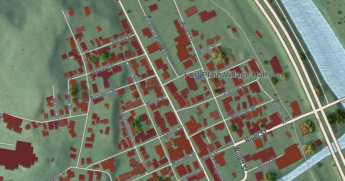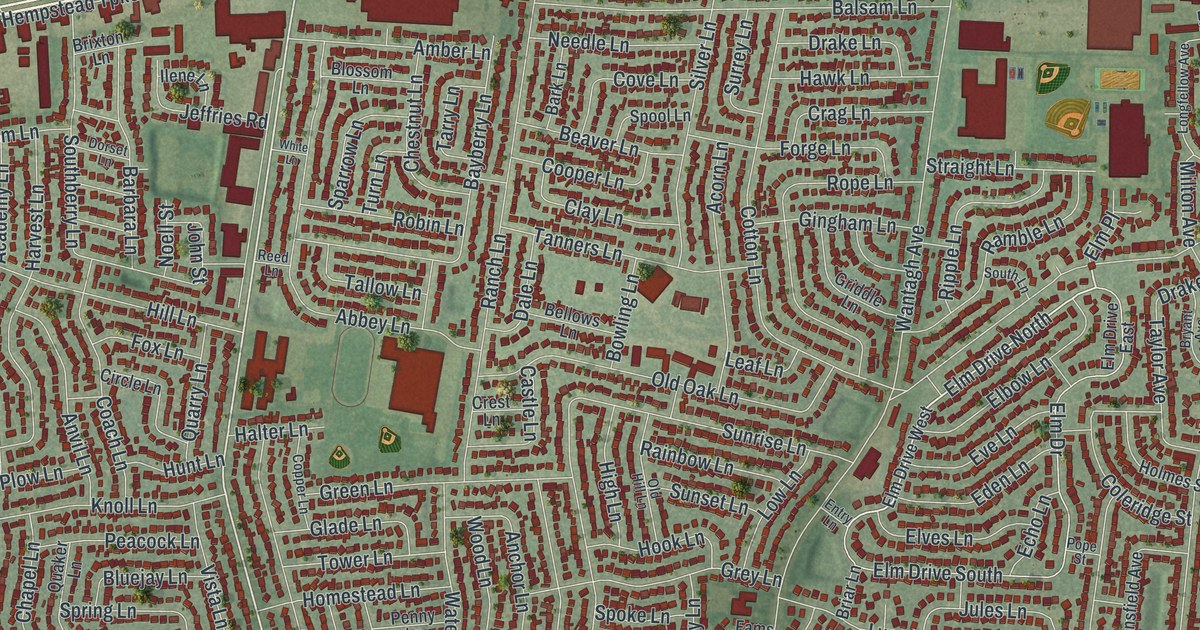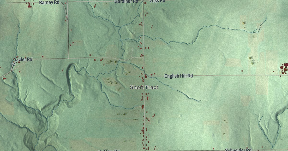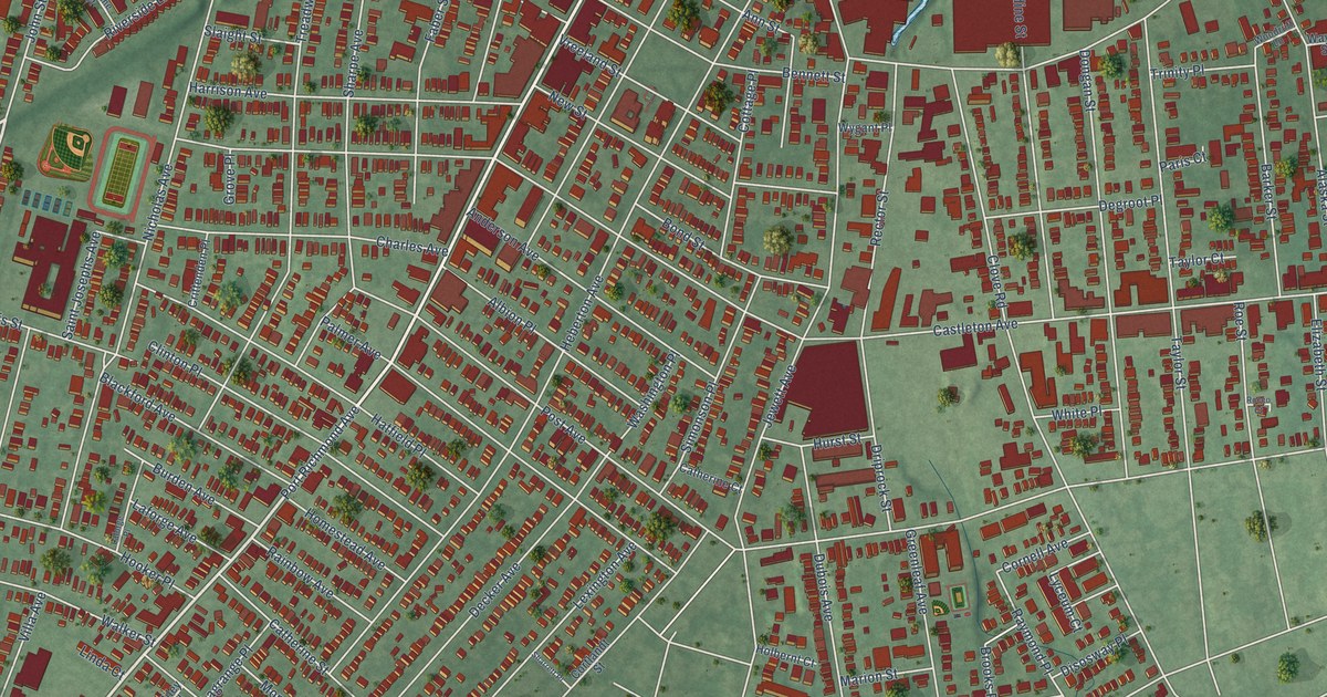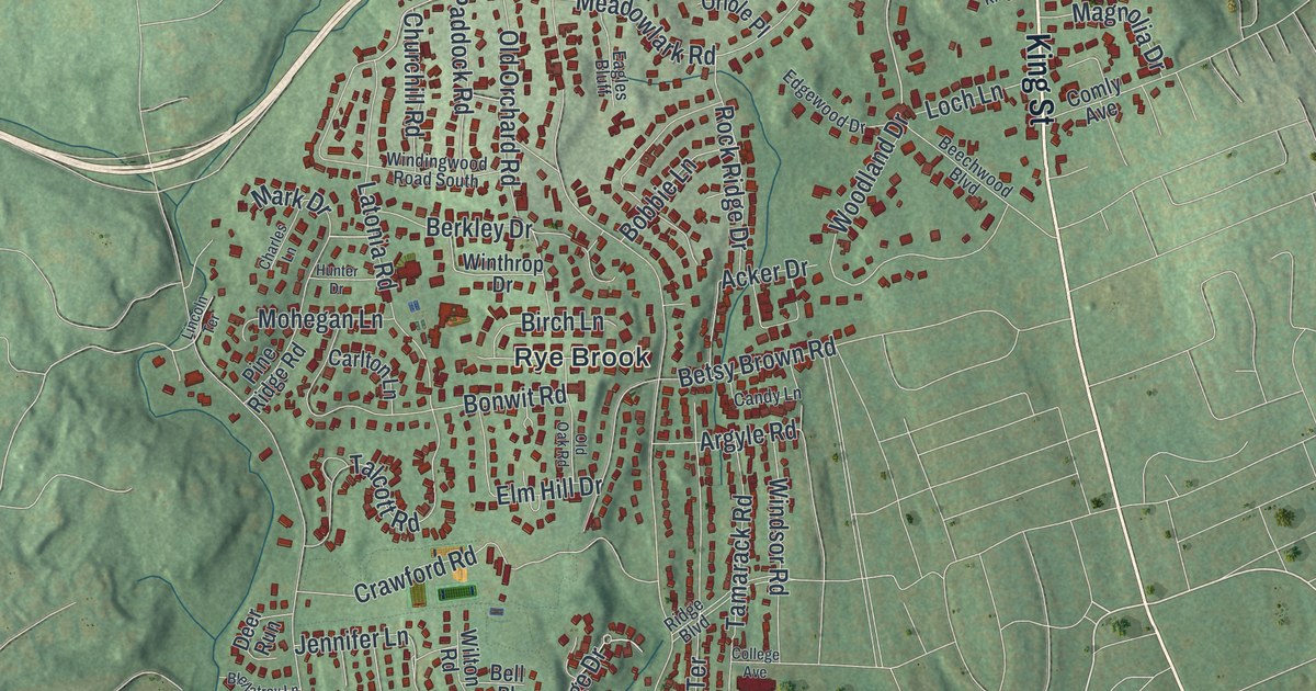
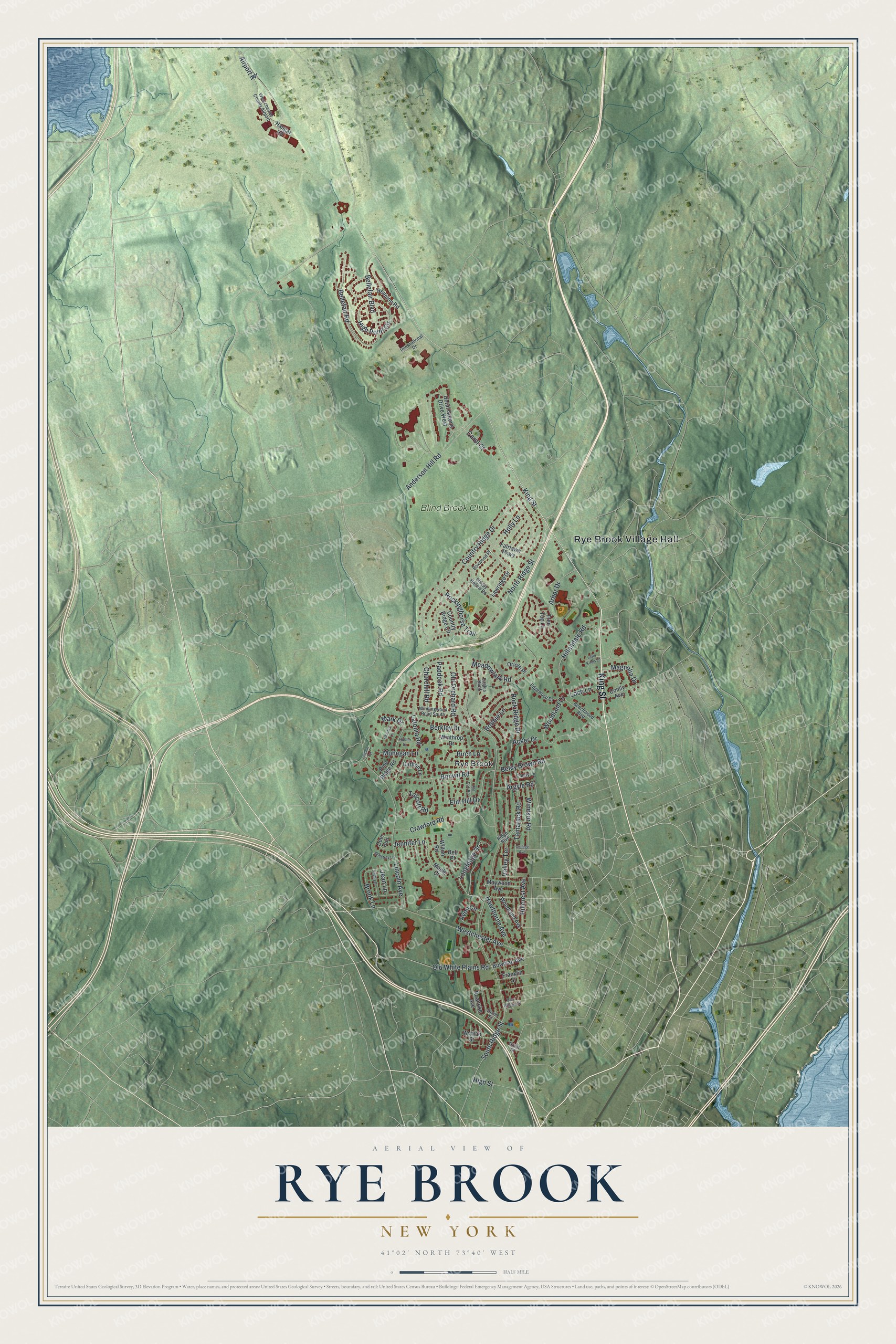
This beautifully detailed map of Rye Brook, New York was created in 2026 using aerial imagery combined with modern topographical, census, street and landmark data. It’s a one-of-a-kind view of Rye Brook that combines accurate data with a vintage aesthetic. The map shows every building in its true location, many of the roads carry their names, and the shaded topographic relief shows the shape of the land.
Explore an aerial view of Rye Brook, New York
On the map you’ll find Rye Brook Village Hall, along with King Street, Hillandale Road, Ridge Street, Old White Plains Road, and more. If you look closely you can even find your house accurately drawn in its correct location. Zoom in on the preview to look for yours.
Did You Know?
On December 2, 1781, a Revolutionary War skirmish called Mosier’s Fight took place in what is now Rye Brook. Lieutenant William Mosier led a small band of Westchester County militia. They drove back a much larger Loyalist unit known as De Lancey’s Cowboys.
Take a closer look at the Rye Brook map
Names on this map
These names are printed on this map.
Places: Rye Brook Village Hall, Rye Brook, Blind Brook Club and Westchester County Airport.
Streets and roads: King Street, Hillandale Road, South Ridge Street, Old White Plains Road, North Ridge Street, Lincoln Avenue, Country Ridge Drive, Westchester Avenue, Rock Ridge Drive, Bellefair Road, Crawford Road, Meadowlark Road.
More street names, A to Z
Acker Drive, Airport Road, Anderson Hill Road, Arbor Drive, Argyle Road, Avon Circle, Beechwood Boulevard, Bellefair Boulevard, Bell Place, Berkley Drive, Betsy Brown Road, Birch Lane, Blellatrey Lane, Bobbie Lane, Bonwit Road, Bowman Avenue, Boxwood Place, Brook Lane, Candy Lane, Carlton Lane, Carol Court, Charles Lane, Churchill Road, College Avenue, Comly Avenue, Country Ridge Circle, Deer Run, Dixon Street, Doral Greens Drive West, Eagles Bluff, Edgewood Drive, Elm Hill Drive, Fairlawn Parkway, Franklin Street, Grant Street, Hangar Road, Hawthorne Avenue, High Point Circle, High Street, Hillcrest Avenue, Holly Lane, Hunter Drive, International Drive, Jean Lane, Jennifer Lane, Latonia Road, Lawridge Drive, Lincoln Terrace, Little Kings Lane, Loch Lane, Longledge Drive, Magnolia Drive, Maple Court, Mark Drive, Maywood Avenue, Mohegan Lane, Old Oak Road, Old Orchard Road, Oriole Place, Paddock Road, Phyllis Place, Pine Ridge Road, Reunion Road, Ridge Boulevard, Roanoke Avenue, Rockinghorse Trail, Sleepy Hollow Road, Talcott Road, Tamarack Road, Tree Top Lane, Valley Terrace, West William Street, Wilton Road, Windingwood Road South, Windsor Road, Winthrop Drive, Woodland Avenue, Woodland Drive, Wyman Street.
See it on a wall
The Rye Brook map as a framed print. Swipe for more.


This beautifully detailed map of Rye Brook makes an attractive addition to your office, library, or den, and it can even be used to teach children the geography and history of the area. It also makes a great gift for someone who left Rye Brook and still calls it home. When you’re done exploring, click here to get your copy of the Rye Brook map.