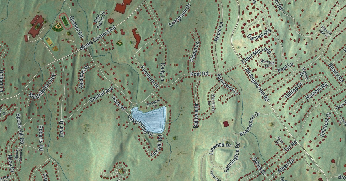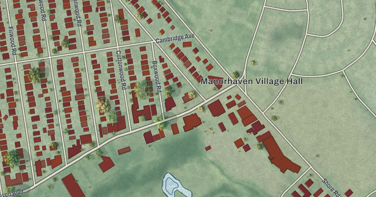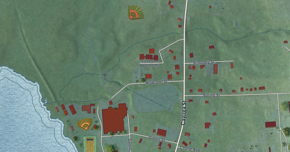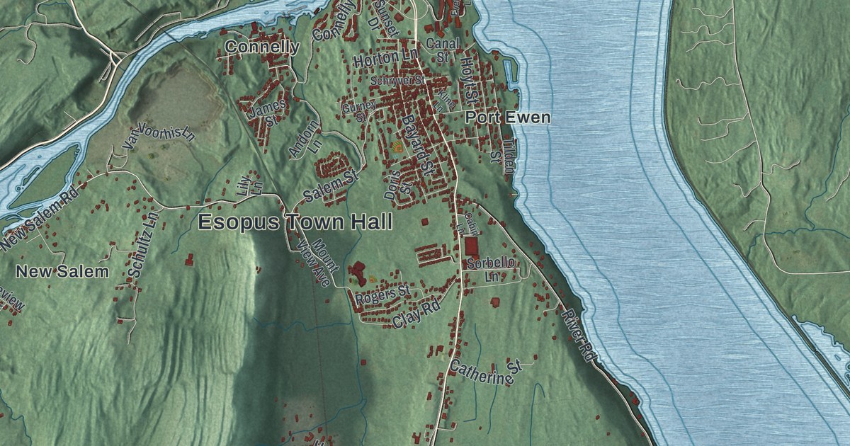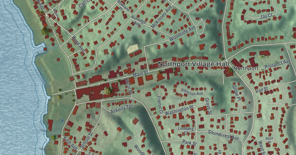
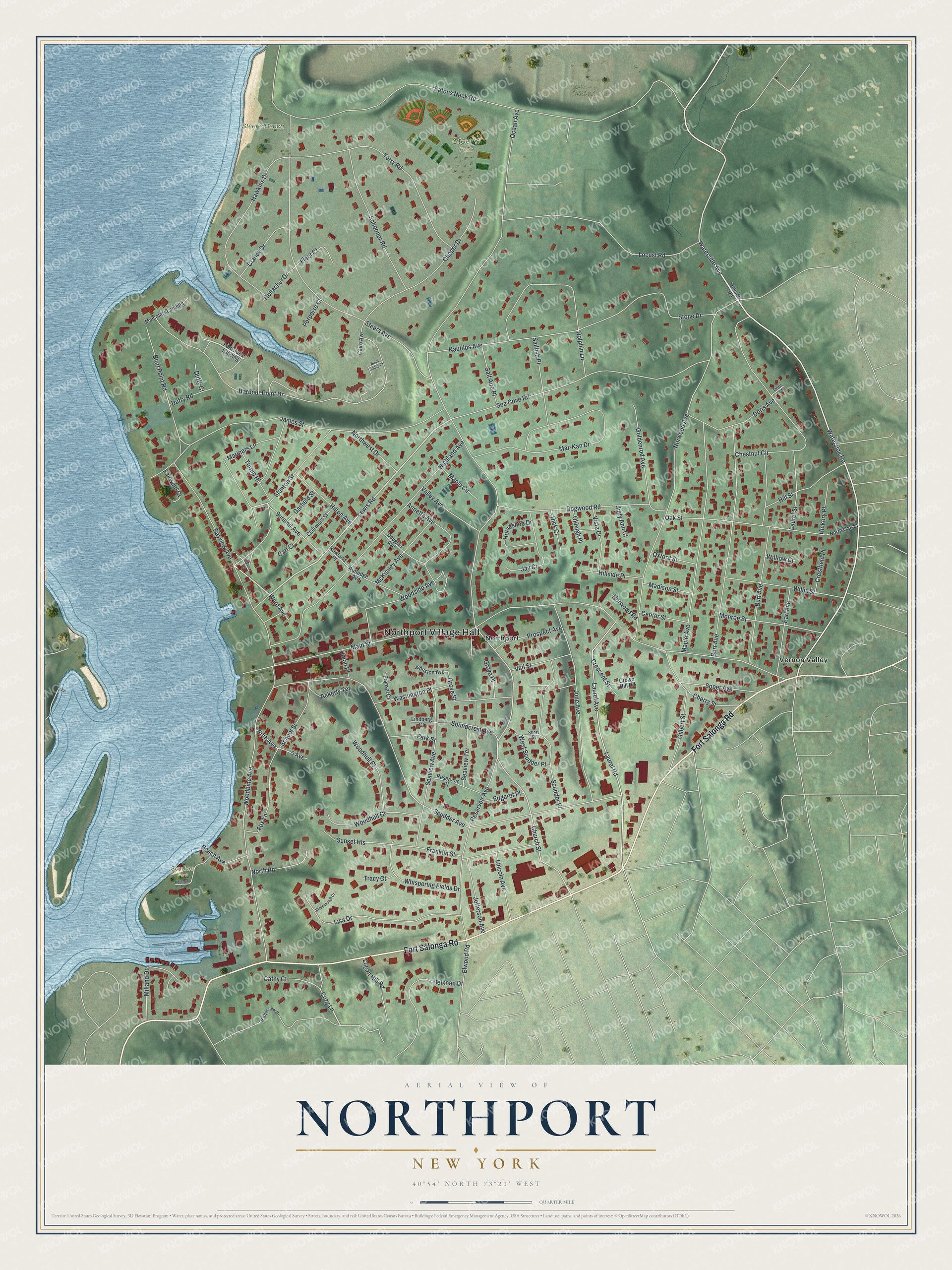
This beautifully detailed map of Northport, New York was created in 2026 using aerial imagery combined with modern topographical, census, street and landmark data. It’s a one-of-a-kind view of Northport that combines accurate data with a vintage aesthetic. The map shows every building in its true location, many of the roads carry their names, and the shaded topographic relief shows the shape of the land.
Explore an aerial view of Northport, New York
On the map you’ll find Northport Village Hall, Vernon Valley, Steer’s Park, Steer’s Beach, and Scudder Park, along with Fort Salonga Road, Waterside Avenue, Waterside Road, Lewis Road, and more. If you look closely you can even find your house accurately drawn in its correct location. Zoom in on the preview to look for yours.
Did You Know?
The Matinecock people called this land Opcathontyche, meaning wading place creek. Chief Asharoken sold it to three Englishmen in 1656. Settlers grazed cattle around the harbor, so it became Great Cow Harbour. After shipbuilding took off, the village was called Northport by 1837.
Take a closer look at the Northport map
Names on this map
These names are printed on this map.
Places: Northport Village Hall, Steer's Park, Steer's Beach, Scudder Park, Northport and Vernon Valley.
Streets and roads: Fort Salonga Road, Waterside Avenue, Waterside Road, Lewis Road, Church Street, Laurel Avenue, Mariners Lane, Main Street, Ocean Avenue, Scudder Avenue, Norwood Avenue, Steers Avenue.
More street names, A to Z
5 Avenue, Ackerly Terrace, Annetta Avenue, Bayview Avenue, Bayview Terrace, Beach Avenue, Belknap Drive, Bluff Point Road, Blydenburgh Court, Burr Avenue, Burt Avenue, Cairo Avenue, Carl Court, Cathy Court, Center Street, Cherry Street, Chestnut Circle, Clairmont Street, Clancy Drive, Clipper Drive, Cozy Lane, Crescent Street, Crestfield Place, Crown Hill Road, Dick Court, Dogwood Road, Dolphin Lane, Doris Avenue, Doris Court, Douglas Avenue, Duffy Court, Duffy Road, Earl Avenue, Eatons Neck Road, Edgaret Place, Elwood Road, Fairwind Court, Fifth Avenue, Fleet Court, Fox Lane, Franklin Street, Fransal Court, Garfield Street, Gilbert Street, Goldenrod Avenue, Grove Place, Grove Street, Harborview Drive, Harbour Point Drive, Hawkins Drive, Hickory Place, Highland Avenue, Hillside Place, Hillside Road, Hill Street, Hilton Avenue, Hollacher Drive, Horseshoe Drive, James Street, Jay Court, Jefferson Avenue, Johnston Avenue, Judy Ann Court, June Avenue, Ketchum Place, Laurel Road, Laurel Street, Lincoln Avenue, Lindberg Court, Lisa Drive, Locust Road, Logan Hill Road, Lord Joes Landing, Madison Street, Malcolms Landing, Maple Avenue, Maple Circle, Mar-Kan Drive, McKinney Avenue, Milland Drive, Monroe Street, Nautilus Avenue, North Oak Street, North Road, Northwest Drive, Norwood Road, Oak Street, Okleigh Place, Oxford Street, Park Street, Porpoise Court, Prospect Avenue, Reservoir Avenue, Reservoir Place, Rowland Place, Rutledge Avenue, Sailfish Place, Saint Jodes Court, Salt Aire Place, School Street, Schooner Road, Scudder Place, Sea Cove Road, Seaview Avenue, Seaview Terrace, Short Street, Soper Avenue, Soundcrest Avenue, Stanton Street, Stone Drive, Summit Avenue, Sunset Hls, Terry Road, Tracy Court, Turnip Hl, Union Place, Vail Street, Valley Avenue, Vista Drive, Ward Avenue, Washington Place, West Scudder Place, Whispering Fields Drive, Wilhow Court, Willis Street, Woodbine Avenue, Woodhull Court, Woodhull Place, Woodside Avenue.
See it on a wall
The Northport map as a framed print. Swipe for more.


This beautifully detailed map of Northport makes an attractive addition to your office, library, or den, and it can even be used to teach children the geography and history of the area. It also makes a great gift for anyone with Northport roots. When you’re done exploring, click here to get your copy of the Northport map.