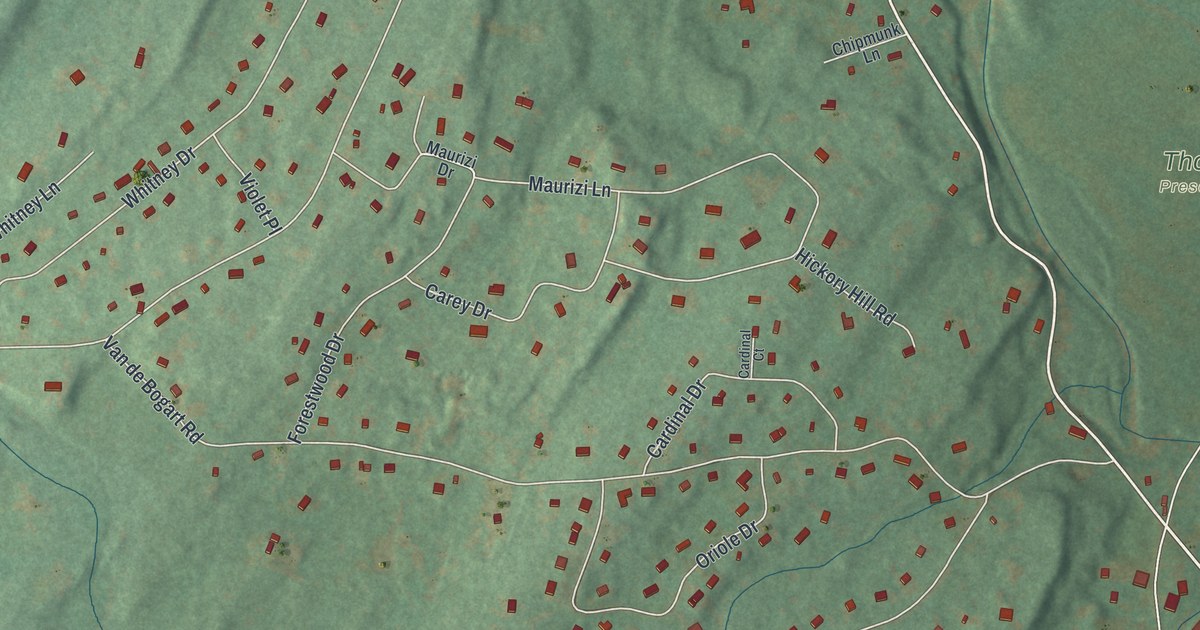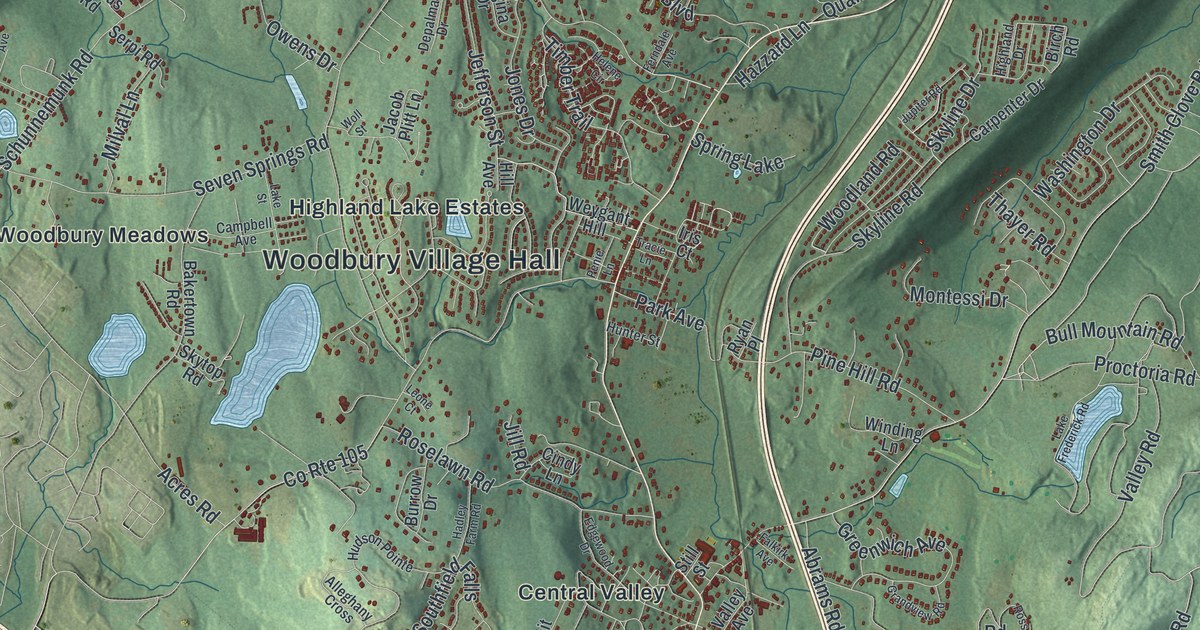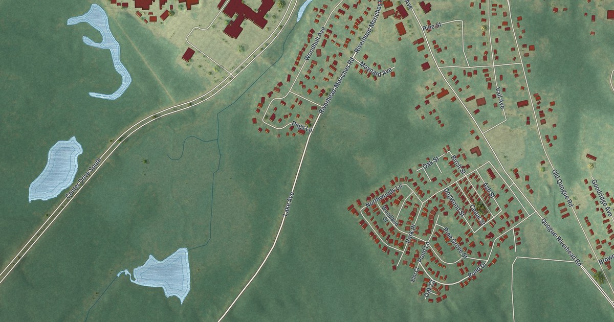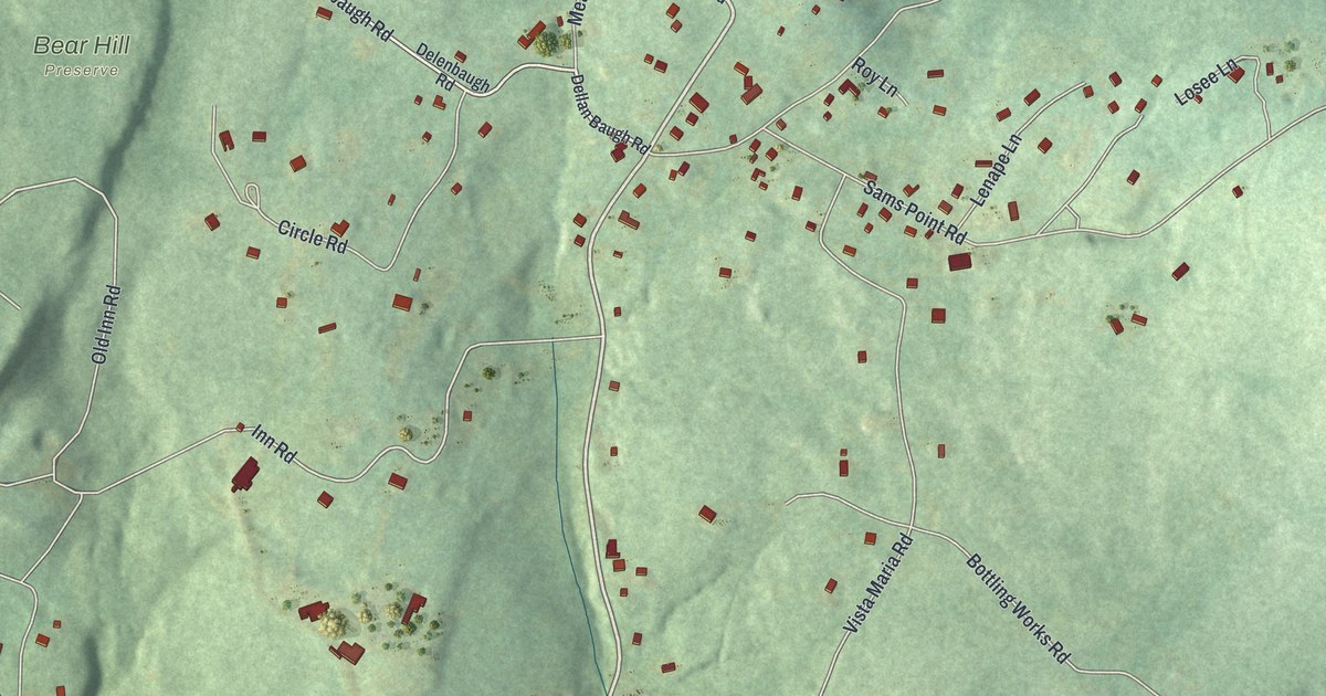
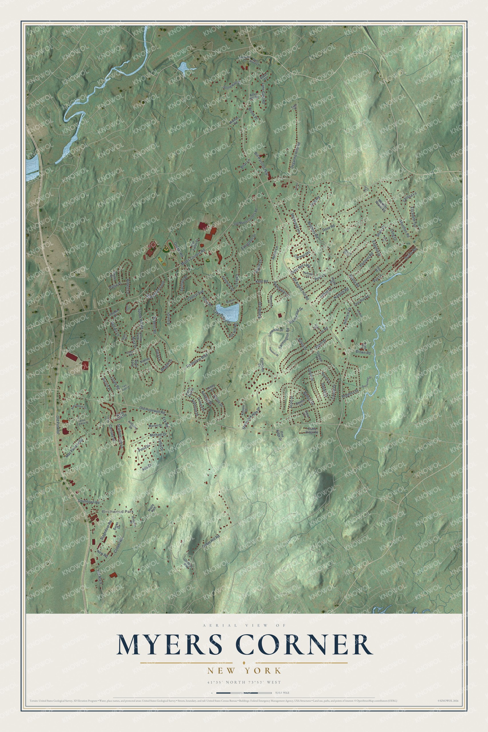
This beautifully detailed map of Myers Corner, New York was created in 2026 using aerial imagery combined with modern topographical, census, street and landmark data. It's a modern aerial view of Myers Corner in Dutchess County, New York, that combines modern data with a vintage aesthetic. The roads feature printed names, and if you look closely you can find your exact house accurately shown in its correct location.
Explore an aerial view of Myers Corner, New York
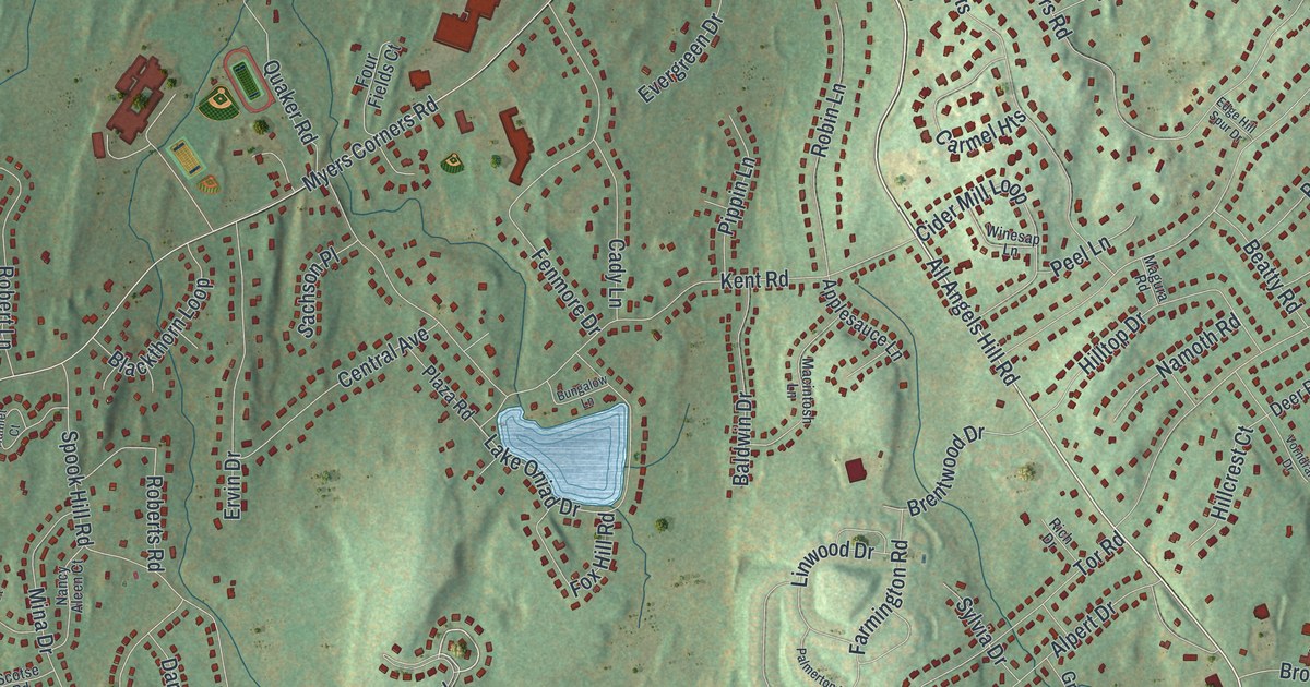
On this map you'll find Birchwood Park, All Angels Hill Road, Fieldstone Boulevard, Losee Road, Stonewall Drive, Myers Corners Road, Old Hopewell Road, Cedar Hill Road, Smithtown Road, Brothers Road, Edgehill Drive, Spook Hill Road, and more. Each red shape is a building, so zoom in on the preview and look for yours.
Here is a piece of Myers Corner history. Roy C. Ketcham High School on Myers Corners Road opened in the fall of 1962, built for the fast growing population of the 1950s and 1960s. It honors Roy C. Ketcham, who served about 25 years on the Board of Education, was its president, and helped centralize the Wappingers schools in 1937. In 1985 a Poughkeepsie Journal poll named him one of the ten most influential people in Dutchess County. That's from the Wappingers Central School District.
Myers Corner is a community in Dutchess County. The Census Bureau counted 10,598 people here in 2020. Myers Corner sits about 2 miles southeast of Wappingers Falls, 2 miles northwest of Brinckerhoff and 3 miles southwest of New Hackensack. The map prints the town name in its title panel, with the coordinates below it.
Take a closer look at the Myers Corner map
Names on this map
These names are printed on this map.
Places: Birchwood Park.
Streets and roads: All Angels Hill Road, Fieldstone Boulevard, Losee Road, Stonewall Drive, Myers Corners Road, Old Hopewell Road, Cedar Hill Road, Smithtown Road, Brothers Road, Edgehill Drive, Spook Hill Road, Kent Road.
More street names, A to Z
Ada Drive, Aladdin Court, Alpert Drive, Anthony Drive, Applesauce Lane, Ardmore Drive, Aster Hill Road, Baker Court, Baldwin Drive, Balfour Drive, Bayen Drive, Beatty Road, Beechwood Circle, Bell Air Lane, Bill Parsons Way, Blackthorn Loop, Brentwood Drive, Briar Lane, Bridle Way, Brook Hollow Court, Brook Place, Brown Road, Bungalow Lane, Cady Lane, Carmel Heights, Carnaby Street, Carroll Drive, Central Avenue, Cider Mill Loop, Cooper Road, Dara Lane, David Loop, Davies Drive, Deer Run Road, Degarmo Hills Road, Dillon Court, Dose Road, Doyle Drive, Drew Court, Dwyer Lane, Eagle Drive, Eck Road, Edge Hill Spur Drive, Elizabeth Terrace, Ervin Drive, Evergreen Drive, Fairhaven Drive, Farmington Road, Farms End Road, Fenmore Drive, Four Fields Court, Fox Hill Road, Germaine Lane, Glen Brook Court, Glendas Way, Gold Road, Grace Court, Granger Place, Hamlet Court, Hillcrest Court, Hilltop Drive, Kendell Drive, Kinsale Court, Lake Oniad Drive, Lane Gate Road, Larissa Lane, Lenny Court, Linwood Drive, Little Road, Long Court, Lydia Drive, Mac Farlane Road, Macintosh Lane, Magura Road, Maple Path, Marlyn Drive, Michael Drive, Mina Drive, Montfort Road, Montfort Woods Road, Namoth Road, Nancy Aleen Court, New Road, Nicole Drive, Old Myers Corners Road, Old Post Road, Old Route 9, Orchard Drive, Palmerton Drive, Partners Road, Pattie Place, Peel Lane, Peter Drive, Phyllis Drive, Pine Ridge Drive, Pippin Lane, Plaza Road, Pye Lane, Quaker Road, Regency Drive, Reggie Drive, Rich Drive, Robert Lane, Roberts Road, Robin Lane, Rowell Lane, Sachson Place, Scarborough Lane, Schlichter Road, Schnorr Lane, Scotse Road, Scott Drive, Scribo Road, Shale Drive, Shamrock Hills Drive, Sherwood Heights, Soccerfield Drive, Stagedoor Road, Stanley Lane, Sucich Place, Sylvia Drive, Taryl Court, Tor Road, Treetop Lane, Truffle Ridge Road, Twin Oaks Lane, Vorndran Drive, White Gate Road, Widmer Road, Winesap Lane.
See it on a wall
The Myers Corner map as a framed print. Swipe for more.


Created by KNOWOL in 2026. The buildings are small red shapes, the roads carry their printed names, and shaded relief shows the shape of the land. The title panel reads "AERIAL VIEW OF MYERS CORNER, NEW YORK" with 41°35' NORTH 73°53' WEST.
It suits a den, a classroom or a front hall, and it makes a gift for anyone with Myers Corner roots. Open the preview and find the block you know. See sizes and frames for the Myers Corner map.