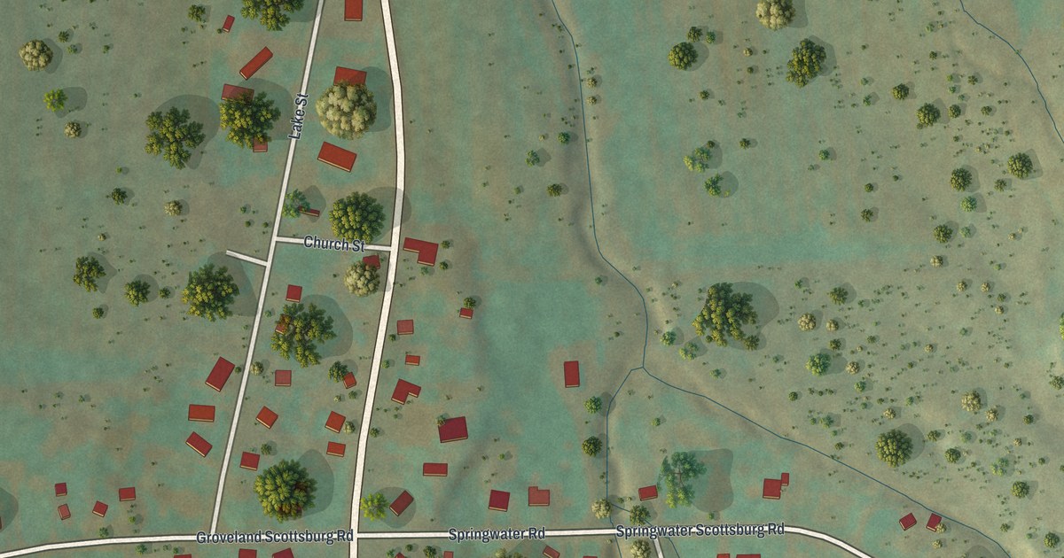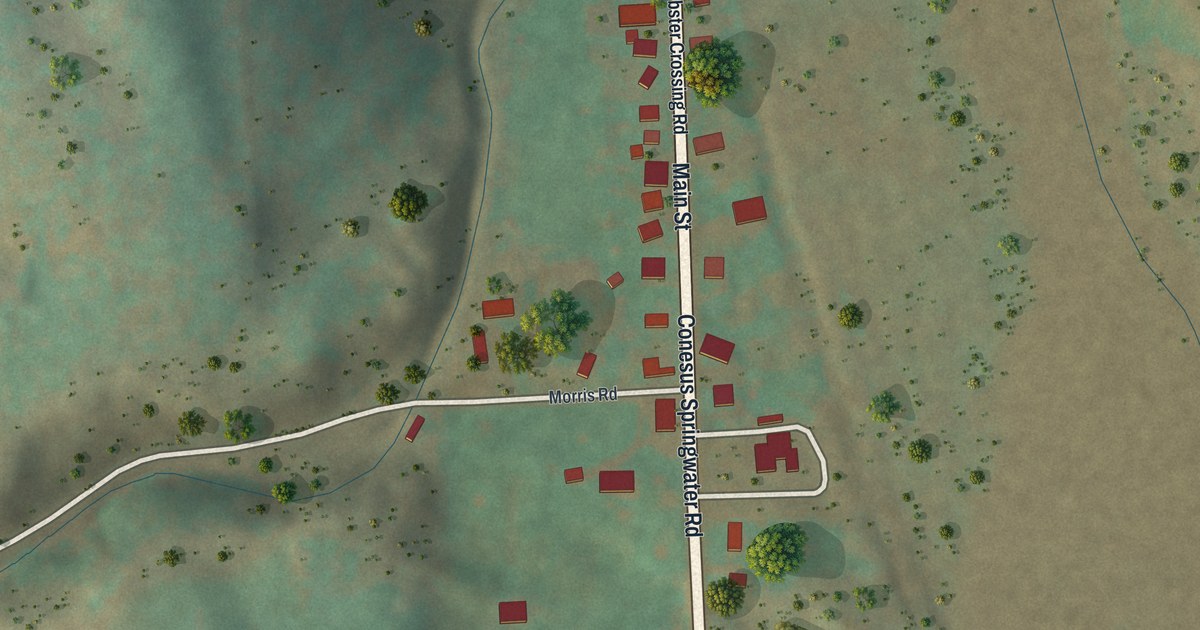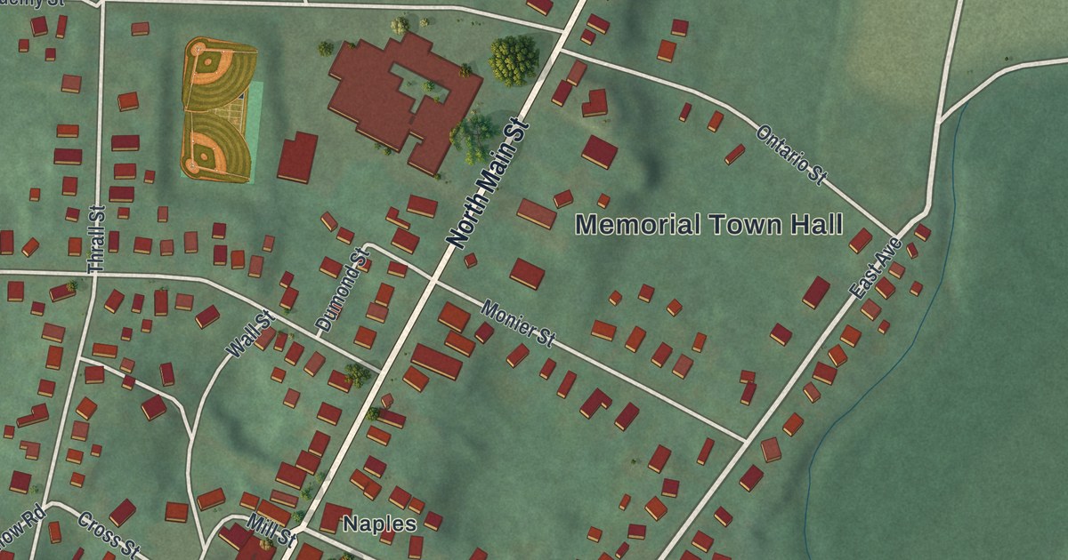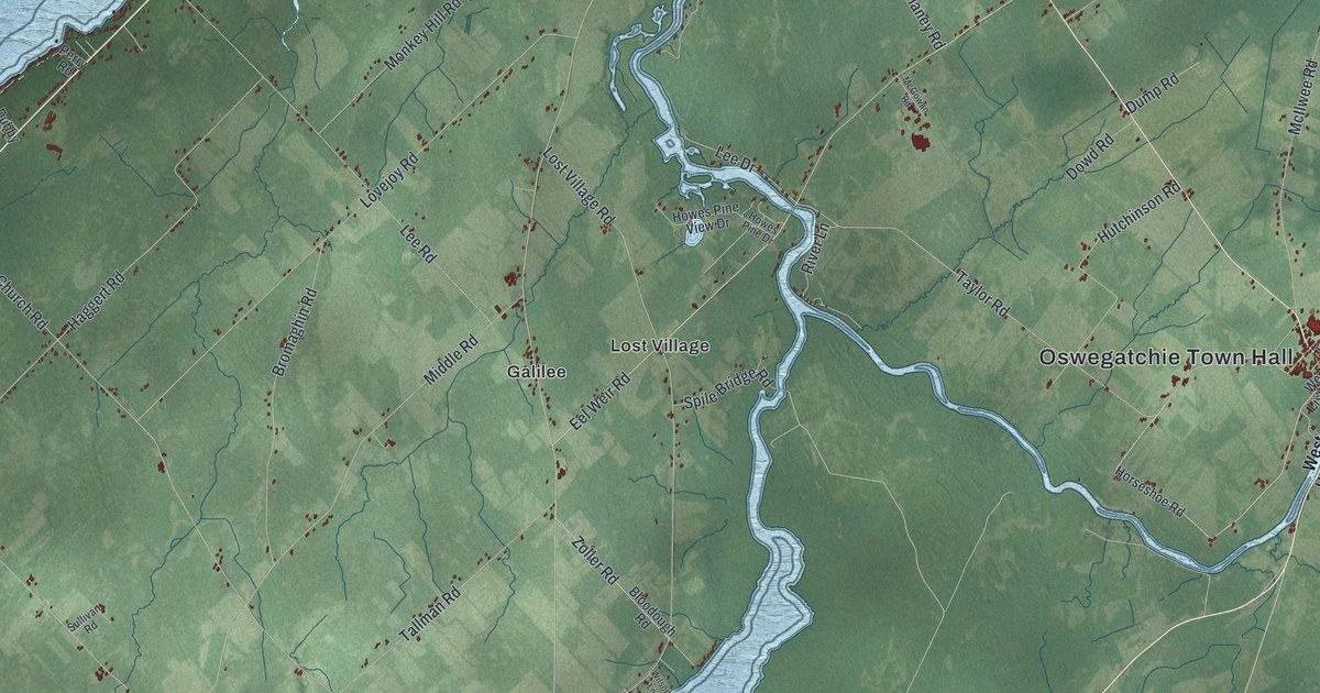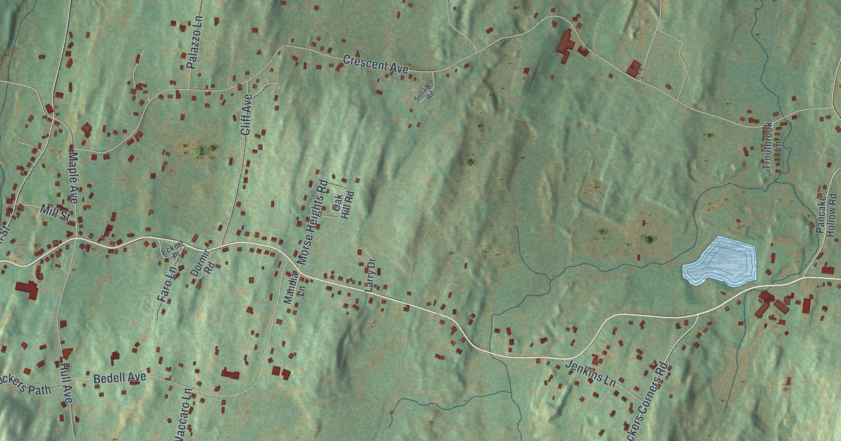
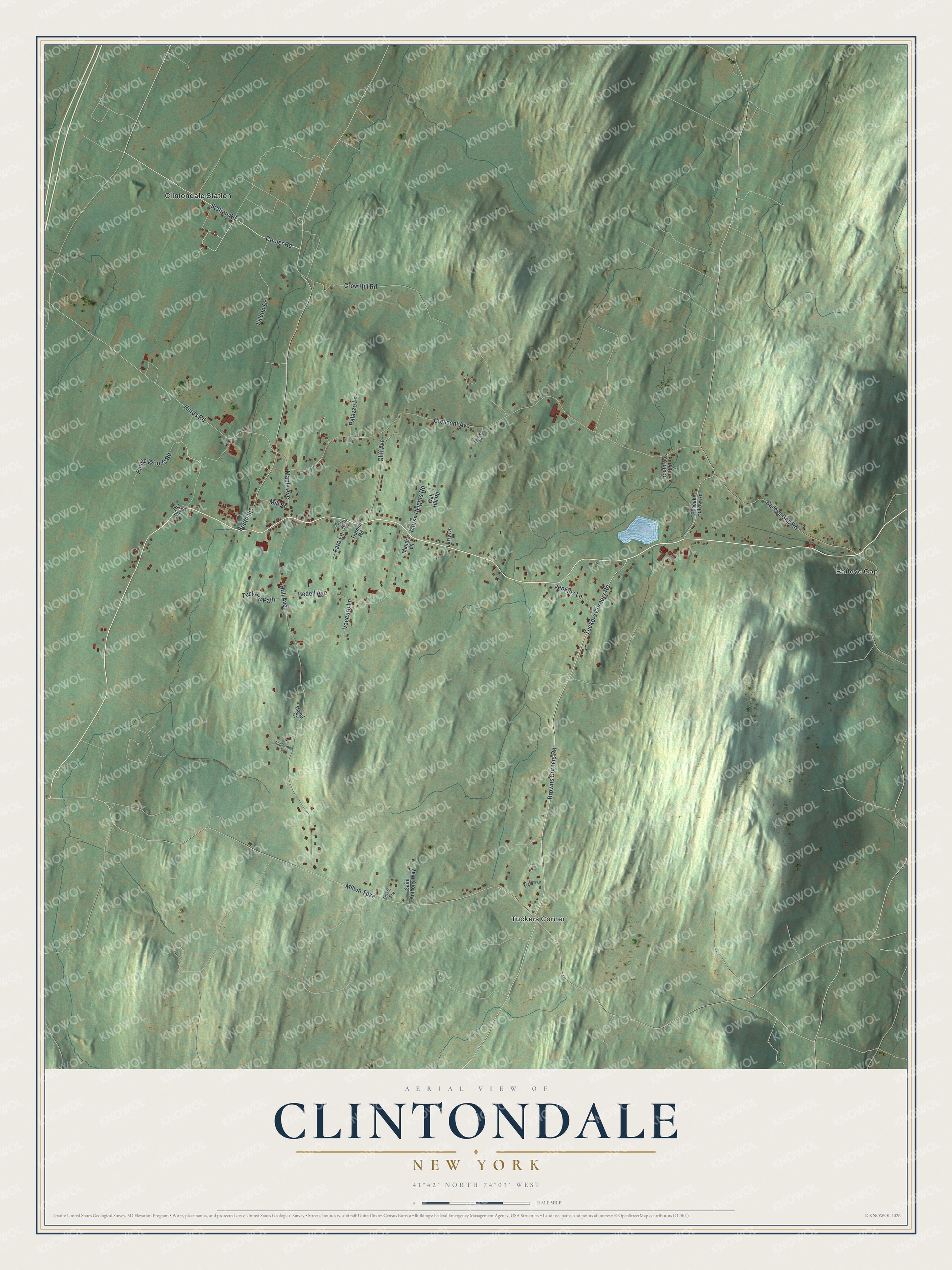
This beautifully detailed map of Clintondale, New York was created in 2026 using aerial imagery combined with modern topographical, census, street and landmark data. It's a modern aerial view of Clintondale in Ulster County, New York, that combines modern data with a vintage aesthetic. The roads feature printed names, and if you look closely you can find your exact house accurately shown in its correct location.
Explore an aerial view of Clintondale, New York
On this map you'll find Baileys Gap, Tuckers Corner, Clintondale Station, Station Road, Cooler Road, Picnic Woods Road, Tuckers Corners Road, Hurds Road, Crescent Avenue, Hull Avenue, Milton Turnpike, South Street, and more. Each red shape is a building, so zoom in on the preview and look for yours.
Every town has a first chapter, and Clintondale is no exception. Clintondale was settled around 1750, and for a time it was known as Quaker Street, for the many Friends who lived there. Its first grist mill was built around the time of the Revolution. Plattekill became well known for apples and grapes in the 1800s, and the Brown-Ellis House, built about 1800, still stands among the area's apple orchards. That's from the National Register of Historic Places.
Clintondale is a community in Ulster County. The Census Bureau counted 1,938 people here in 2020.
Take a closer look at the Clintondale map
Names on this map
These names are printed on this map.
Places: Baileys Gap, Tuckers Corner and Clintondale Station.
Streets and roads: Station Road, Cooler Road, Picnic Woods Road, Tuckers Corners Road, Hurds Road, Crescent Avenue, Hull Avenue, Milton Turnpike, South Street, Browns Corners Road, Crow Hill Road, Bedell Avenue.
More street names, A to Z
Applewood Court, Baileys Gap Road, Cliff Avenue, Crisci Street, David Court, Dormir Road, Eckert Place, Falcon Drive, Faro Lane, Highview Lane, Jenkins Lane, Larry Drive, Mandia Lane, Maple Avenue, Mill Street, Morse Heights Road, Oak Hill Road, Old Route 44, Palazzo Lane, Pancake Hollow Road, Saint Anthony Way, Sollazzo Road, Troutbrook Lane, Tuckers Path, Vaccaro Lane.
See it on a wall
The Clintondale map as a framed print. Swipe for more.


Created by KNOWOL in 2026. The buildings are small red shapes, the roads carry their printed names, and shaded relief shows the shape of the land. The title panel reads "AERIAL VIEW OF CLINTONDALE, NEW YORK" with 41°42' NORTH 74°03' WEST.
Hang it in the hallway, the office or the cabin, or give it to someone who left Clintondale and still calls it home. Open the preview and look for a street you know. See sizes and frames for the Clintondale map.